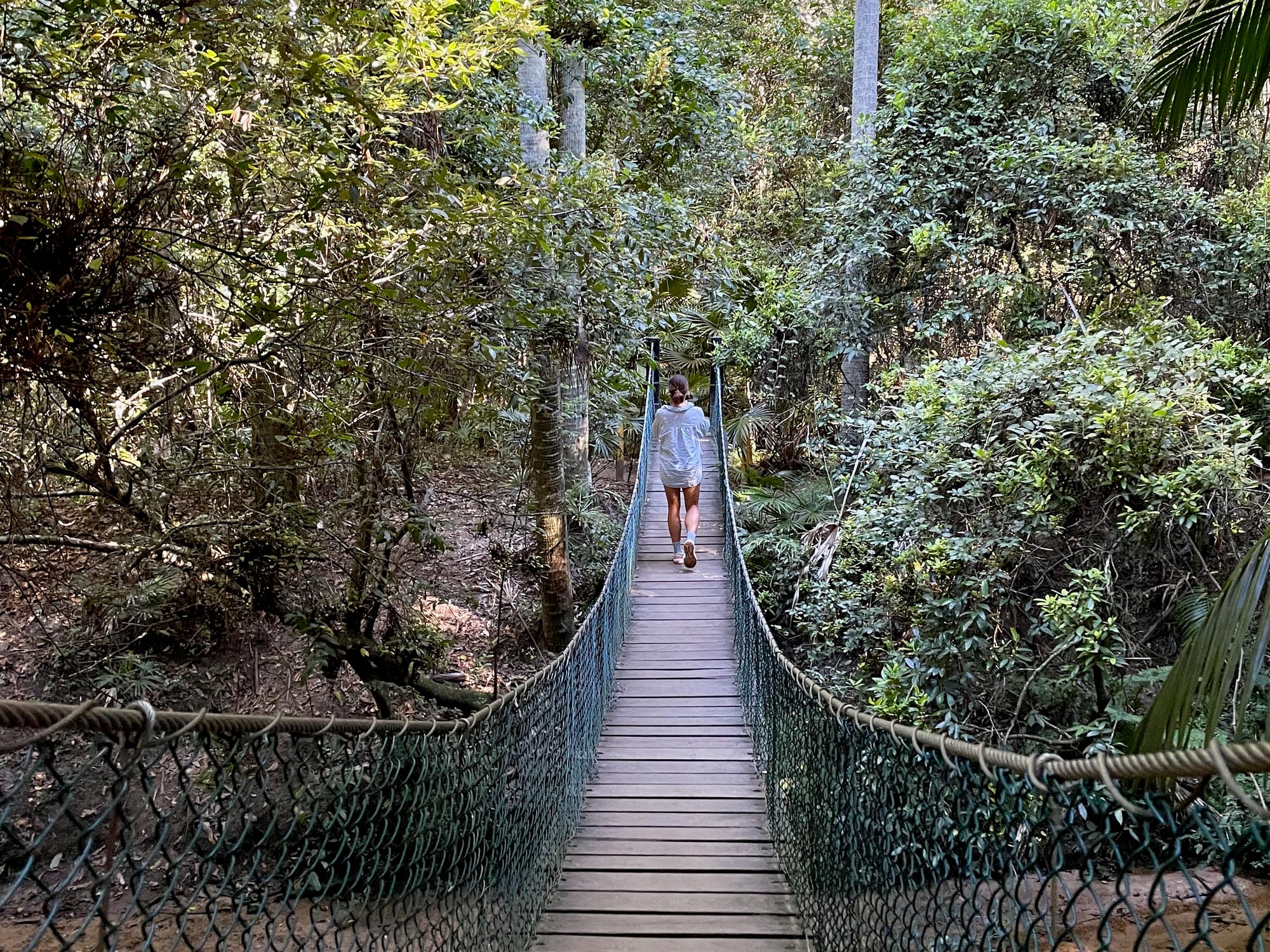
Stoney Creek is a small car park in Strickland State Forest, a few minutes off the M1 near Somersby, and the start of some lovely short rainforest walks. We stopped here on the drive back to Sydney after our Yengo National Park trip in April 2025 and walked the Arboretum Track, across the creek on the swing bridge and in among the cabbage palms and tall gums. After two days on gravel roads, it was the perfect place to stretch our legs.
What we like
- Swing bridge over the creek
- Rainforest and cabbage palms
- Short walks of 1 to 2.3 km
- Close to the M1 and Sydney
- Free
What we don’t
- No toilets at Stoney Creek
- Creeks impassable in flood
- Falling Bunya cones, Jan to Mar
About Strickland State ForestAbout
Strickland State Forest sits in the hills between Somersby and Narara, just south of the M1, between Peats Ridge Road and Mangrove Road. It’s a forest of two halves: dry eucalypt forest on the ridges and moist rainforest in the gullies along Stoney Creek and Narara Creek, with cabbage palms reaching up through the canopy. It also holds one of Australia’s oldest arboretums, dating back to 1887, with giant Australian Red Cedar, Bunya and Hoop Pines. There are two places to start: the Stoney Creek car park, where we parked, and Banksia Picnic Area up the hill, which has the toilets and a shelter.
Quick facts
- AddressStoney Creek Car Park, Strickland Forest Road, Somersby NSW 2250, AustraliaSee on the trip map →
- Phone receptionPatchy
- FacilitiesParkingWalking TrailsInterpretive SignsNo ToiletsNo Drinking Water
- Good to knowFew minutes off the M1Walks 1–2.3 kmToilets at Banksia Picnic Area
- FeesFree
- 9.0/10Overall rated
Getting There
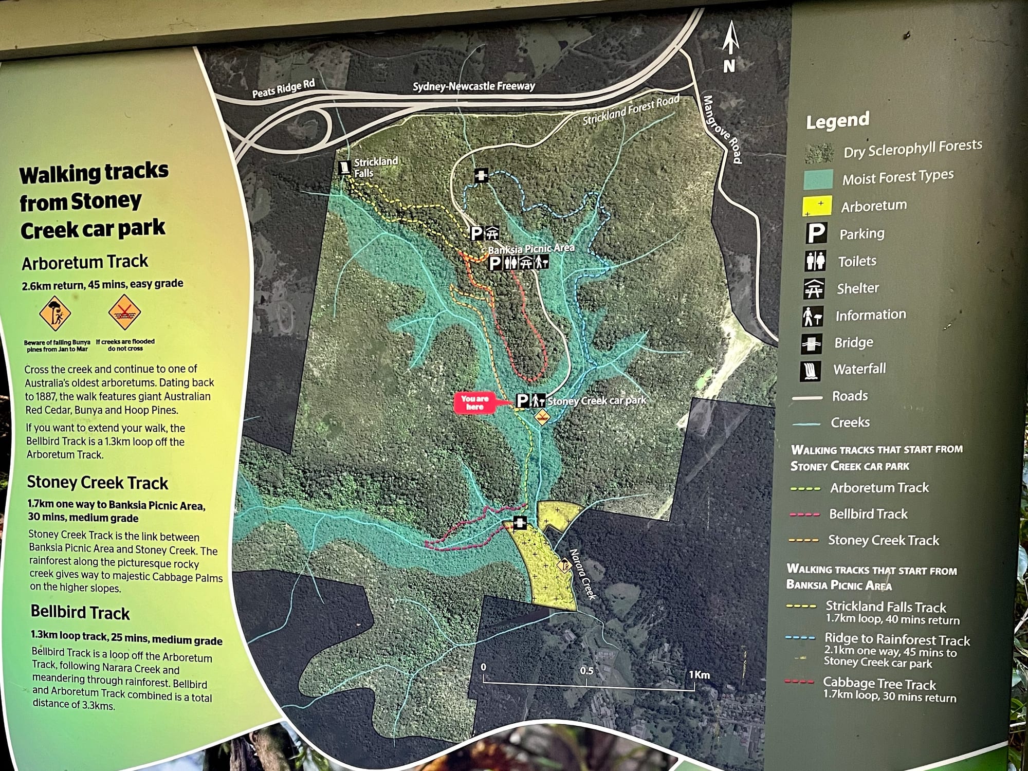
The forest entrance gate is on Mangrove Road at Somersby, just off the M1. From there, Strickland Forest Road winds into the forest under tall gums and cabbage palms, past the turn-off to Banksia Picnic Area, and down to the Stoney Creek car park in the gully, with room for a handful of cars and the walking tracks board at the start. It was busy with day walkers when we were there.
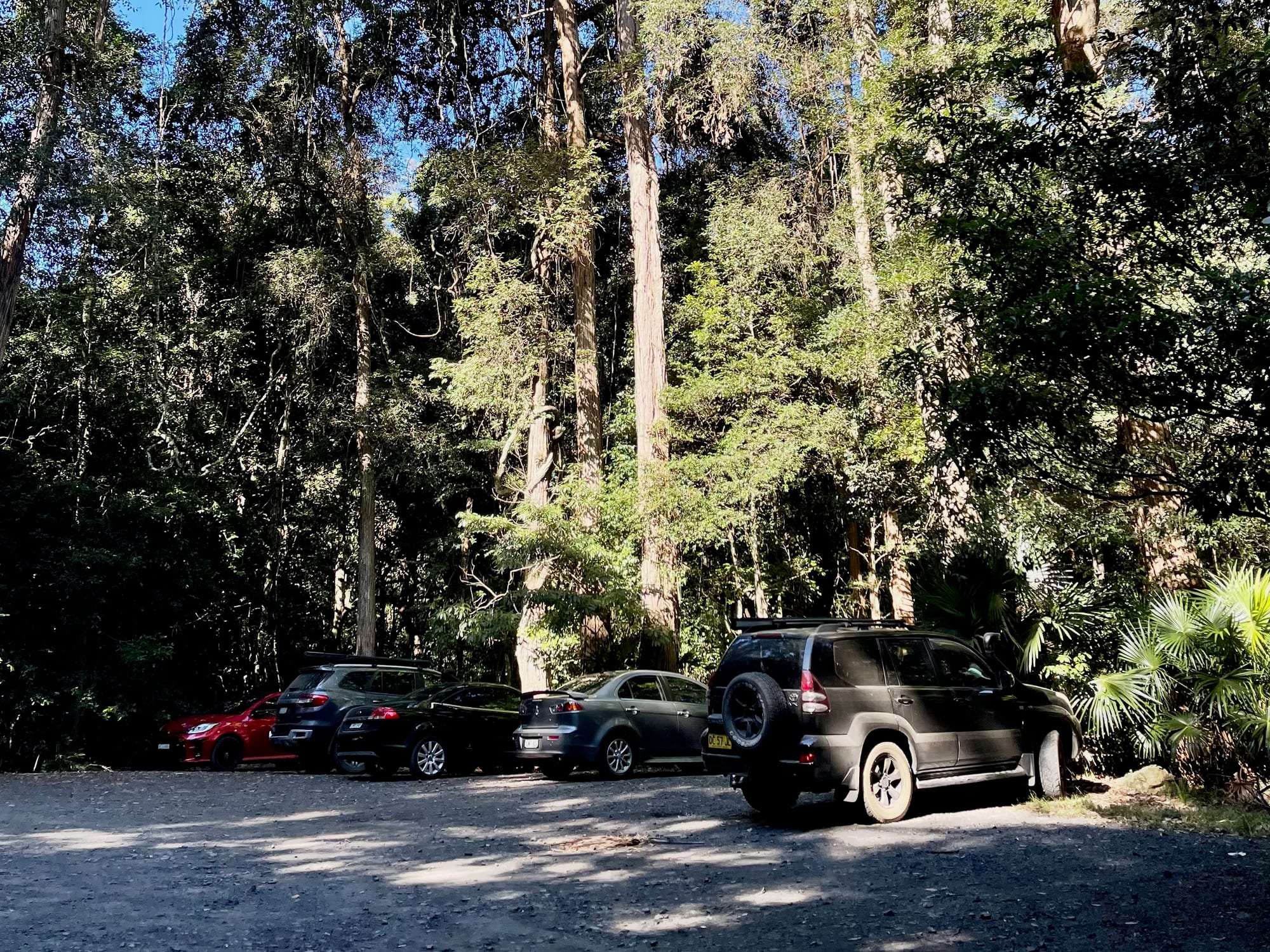
Map of the WalksWalk map
The forest road comes in from the entrance gate on Mangrove Road, passes Banksia Picnic Area with its toilets and shelter, and ends at the Stoney Creek car park in the gully. The Arboretum Track heads south from there, along the creek to the arboretum. Here’s how the six walks fit together.
The Walks from Stoney CreekThe walks
Two walks start from the Stoney Creek car park, the Arboretum and Bellbird tracks, and four more from Banksia Picnic Area up the hill; the Ridge to Rainforest and Stoney Creek tracks link the two. We walked the Arboretum Track, the easy one across the creek to the old arboretum. Here’s every walk in this part of the forest.
- Arboretum Track
2.3 km
loop, easyAcross the creek to an 1887 arboretum of giant Red Cedar, Bunya and Hoop Pines. The one we walked.
- Bellbird Track
1.3 km
loop, easyA loop off the Arboretum Track along Narara Creek; 3.3 km for both. From Stoney Creek.
- Stoney Creek Track
1 km
one way, mediumRainforest along the rocky creek, then cabbage palms, between Banksia Picnic Area and Stoney Creek.
- Strickland Falls Track
1.6 km
loop, mediumA loop to Strickland Falls. From Banksia Picnic Area.
- Ridge to Rainforest Track
2.1 km
one way, mediumFrom the dry ridge down into the rainforest, ending at the Stoney Creek car park. From Banksia Picnic Area.
- Cabbage Tree Track
1.6 km
loop, mediumA loop through the cabbage palms. From Banksia Picnic Area.
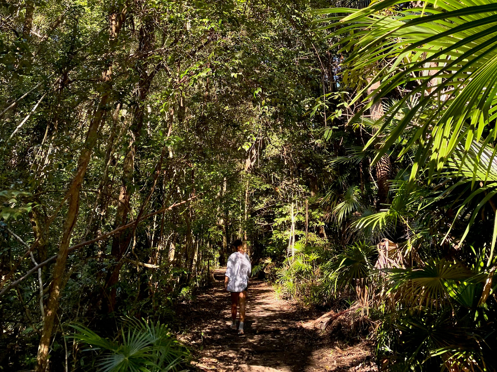
The Swing Bridge and the RainforestSwing bridge & rainforest
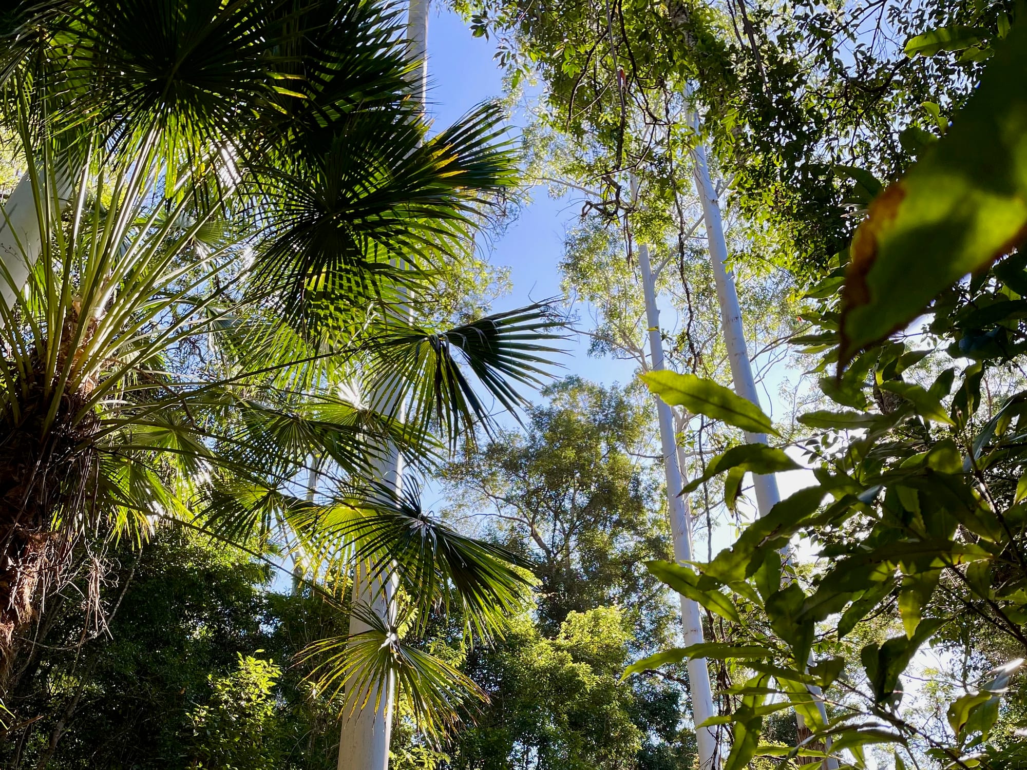
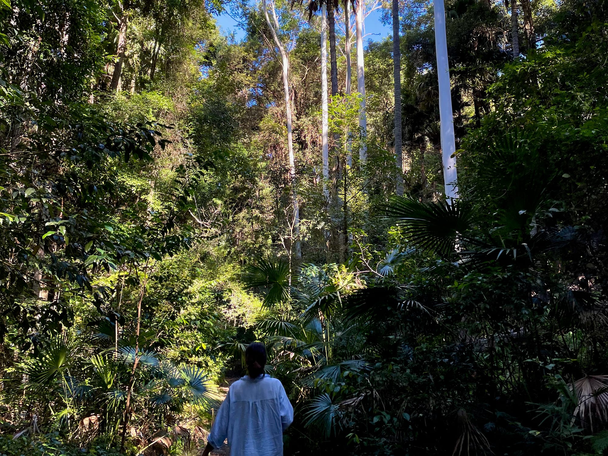
The Arboretum Track starts with the creek crossing: just past the car park, a long timber swing bridge with rope sides crosses the creek. On the other side, the forest closes in: palm fronds over the track, ferns and vines in the gully, and cabbage palms shooting up past the canopy alongside tall, pale gums. If the creek is in flood, don’t cross: the board at the car park warns against it, and from January to March, watch out for falling Bunya pine cones on the Arboretum Track.
Things to Do NearbyThings to do
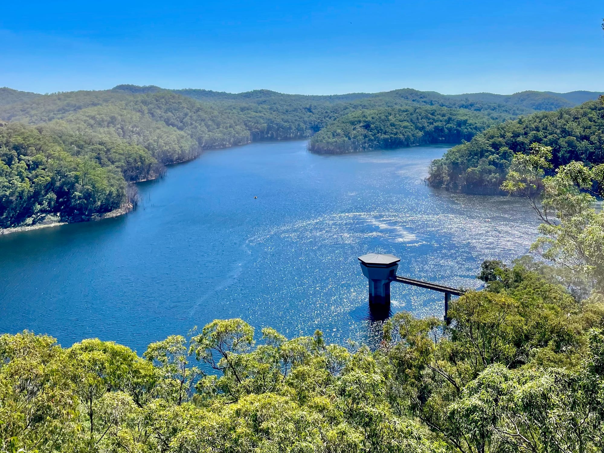
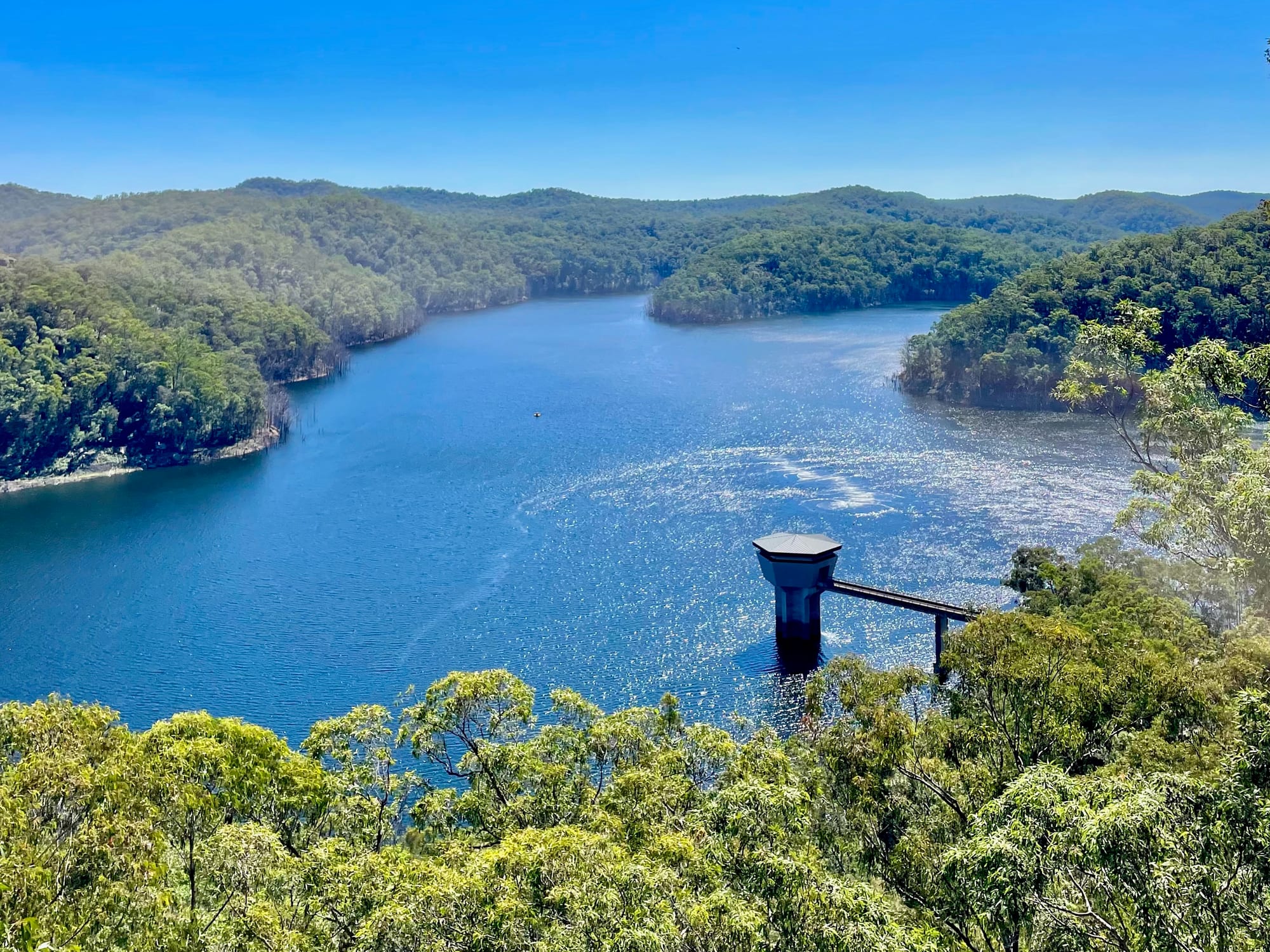
Before Stoney Creek, we stopped at the lookout over Mangrove Creek Dam, a big blue reservoir in the hills near Kulnura, where lace monitors sun themselves on the deck. Further north, the Great North Road leads to Laguna, Wollombi and Finchley Campground in Yengo National Park. In the forest itself, Banksia Picnic Area has toilets and a shelter, and the start of the walk to Strickland Falls.
Summary
Stoney Creek in Strickland State Forest is a free, easy slice of rainforest a few minutes off the M1: a swing bridge over the creek, cabbage palms and tall gums, an arboretum from 1887 and six short walks between this car park and Banksia Picnic Area. It’s a perfect leg-stretch on the drive between Sydney and the Central Coast or the Hunter, as it was for us on the way home from Yengo.
A slice of rainforest right off the M1.
From the Stoney Creek car park, short walks lead across the creek on a swing bridge and in among cabbage palms, tall gums and an arboretum dating back to 1887. It's free and close to the freeway, and it made the perfect leg-stretch on our drive home.
- Couples
- Families
- Day trips
Yes. It's free, it's a few minutes off the M1, and the walks are 1 to 2.3 km, so it's an easy way to break the drive.
Recommended Gear for Stoney Creek
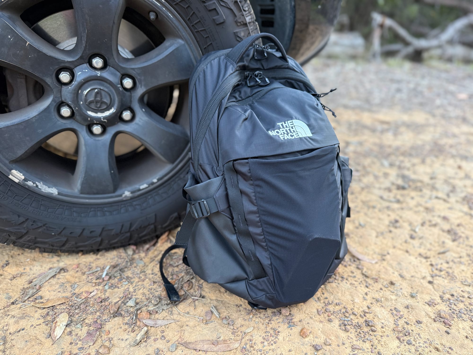
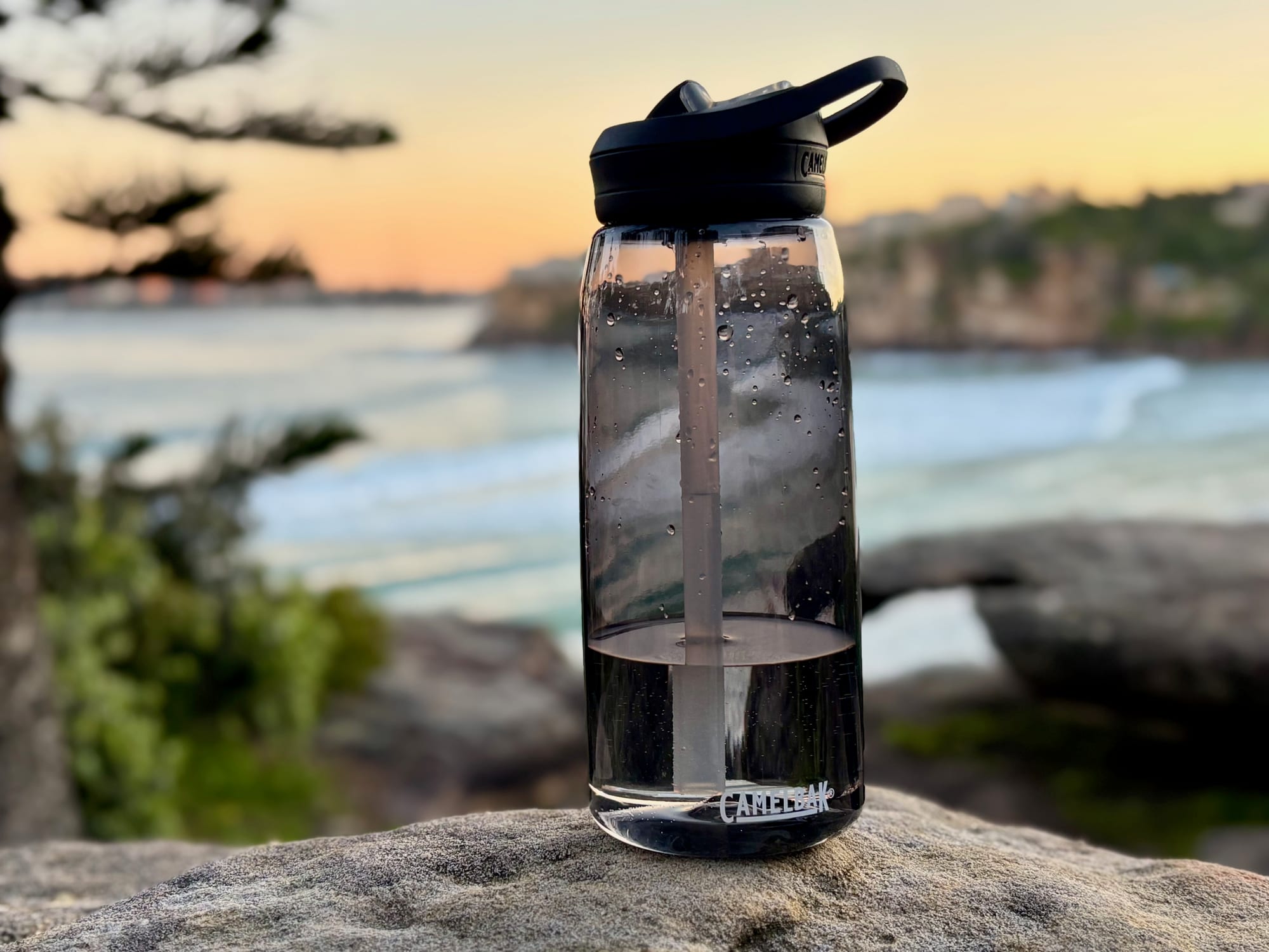
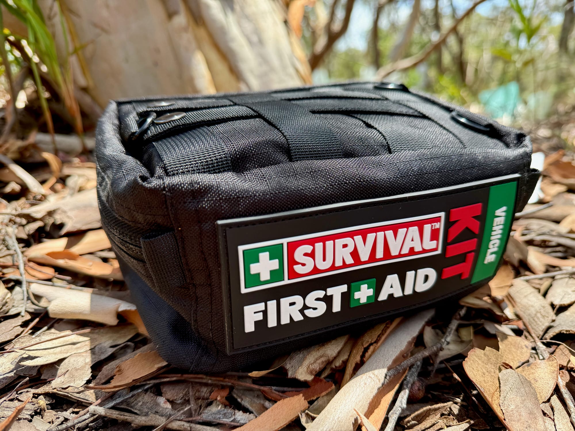
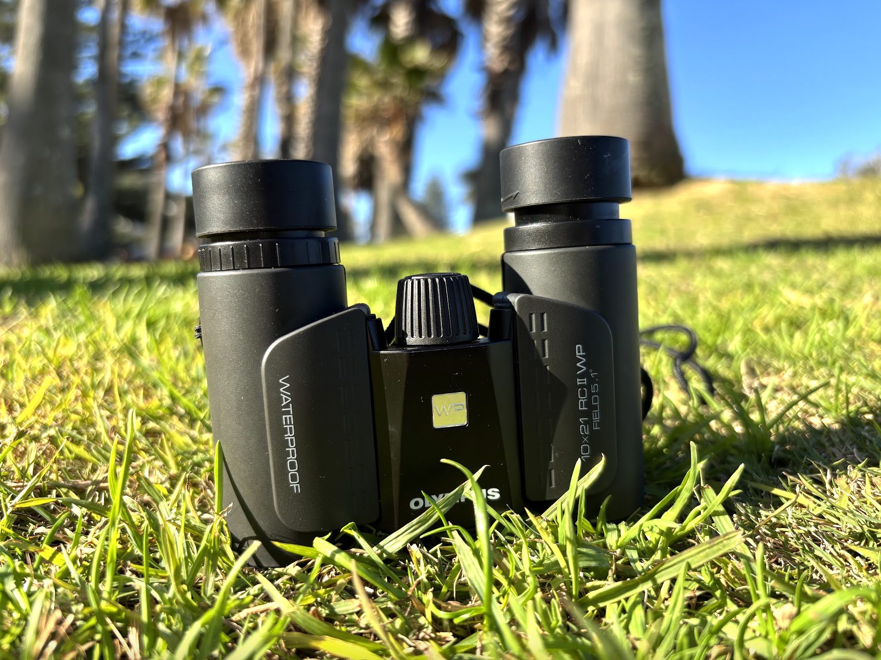
For the walks, a light daypack with a good water bottle is all you need, as there’s no water at the car park. A first aid kit is worth having on any forest walk, and a pair of binoculars helps you spot the birds in the canopy.