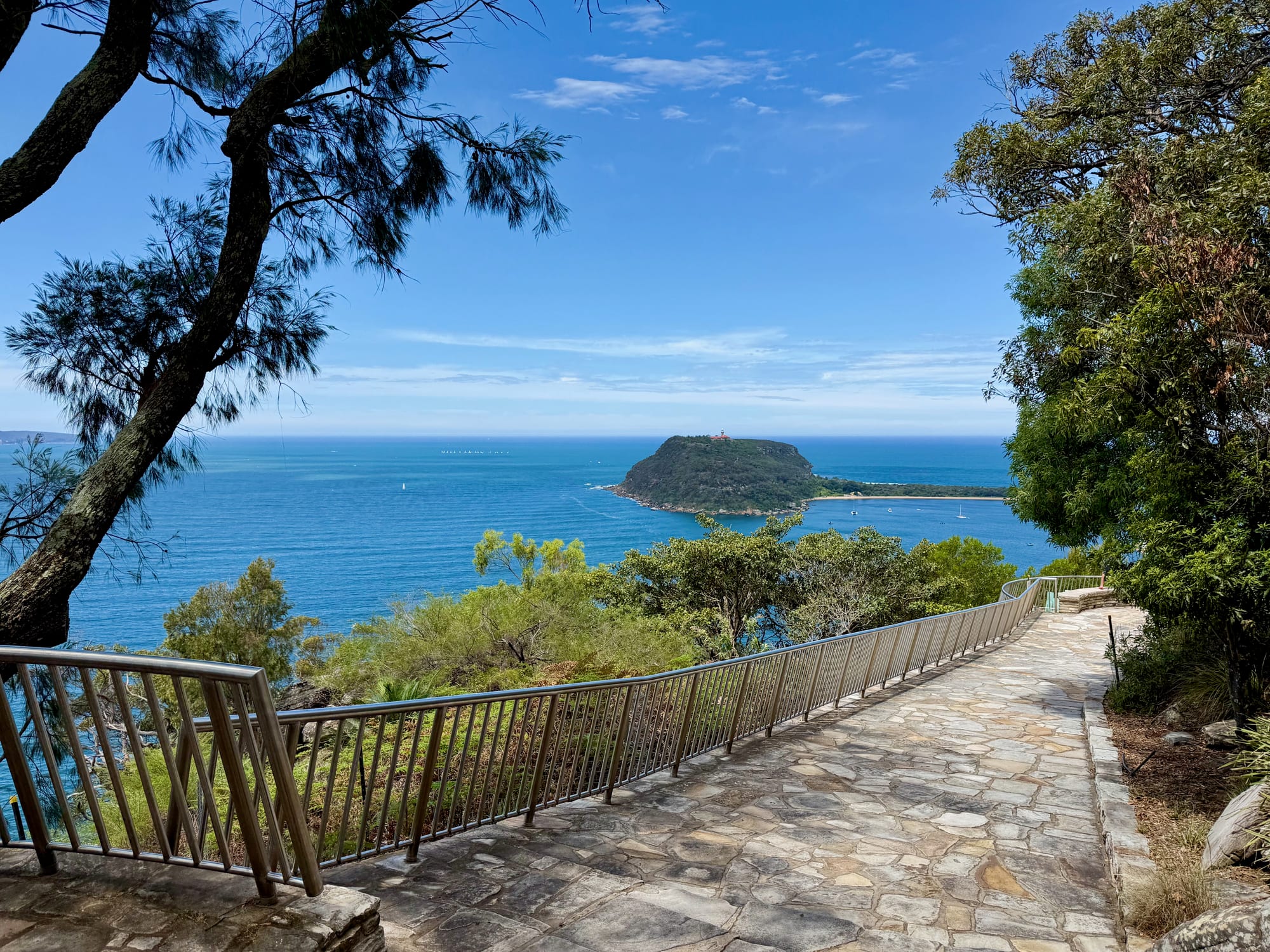
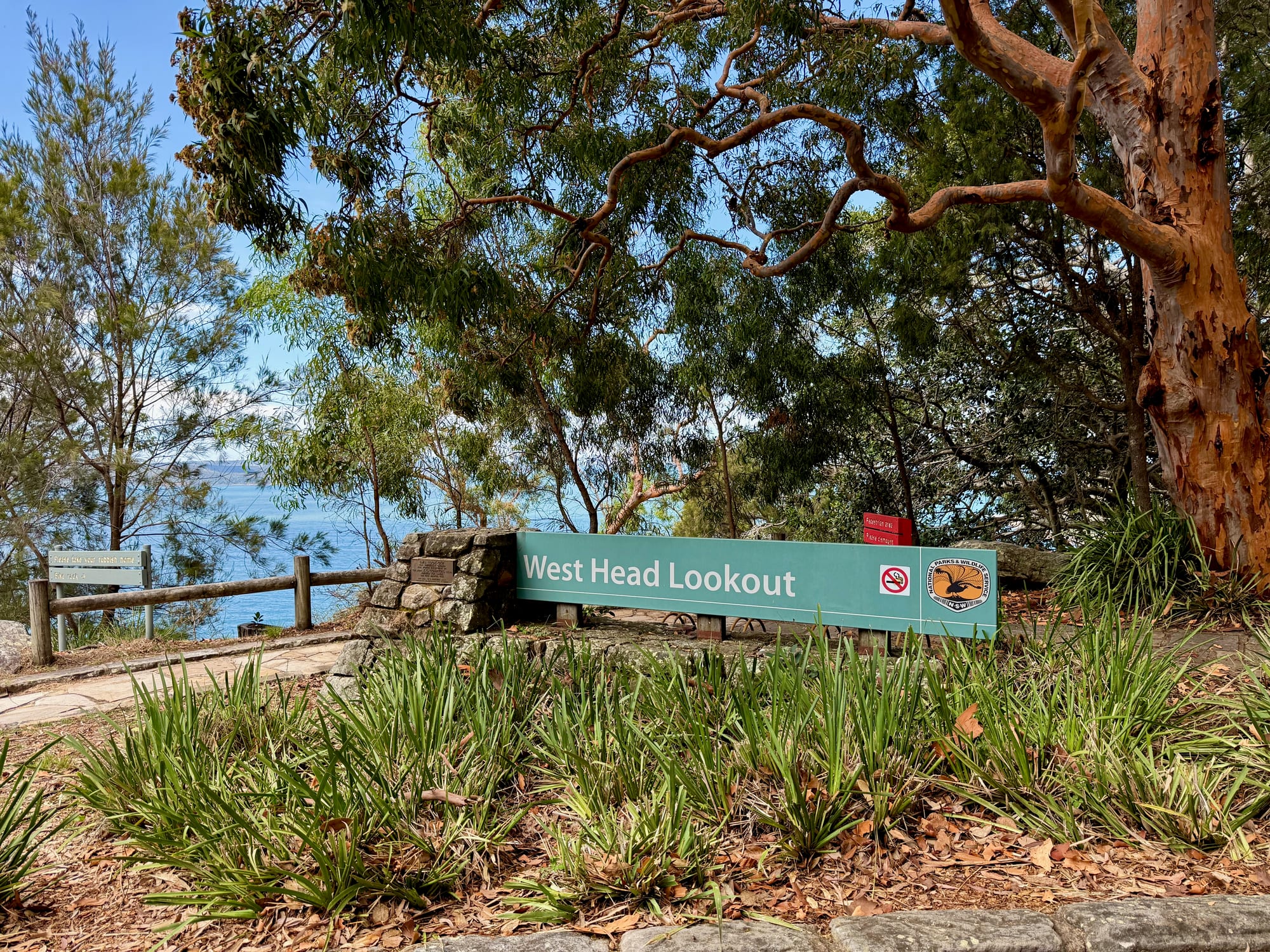
West Head Lookout is the view at the very end of West Head Road, in the north-east corner of Ku-ring-gai Chase National Park. We drove up on a sunny day in November 2026, parked at the end of the road and walked out to the railing, and there it was: Barrenjoey Headland and its lighthouse straight ahead, Palm Beach on the right, and Lion Island sitting in the mouth of Broken Bay.
What we like
- Barrenjoey and Lion Island views
- Step-free path to the railing
- WWII battery history boards
- Bronze map of Broken Bay
- Walks down to three beaches
What we don’t
- No toilets at the lookout
- Gates lock in the evening
- Car park fills on weekends
About West Head LookoutAbout
West Head is the headland where Pittwater meets Broken Bay, about an hour north of the Sydney CBD. The lookout sits high on the end of it, with Broken Bay and the Central Coast beaches to the left, Pittwater and the Palm Beach peninsula to the right, and Barrenjoey right in front. It’s one of the best-known views around Sydney, and it’s an easy one: a sealed road all the way, a short, step-free path from the car park, and a long stone-flagged viewing area with railings along the cliff edge. Below the lookout, tracks lead down to West Head Beach, Resolute Beach and the old WWII battery.
Quick facts
- AddressWest Head Lookout, West Head Road, Ku-ring-gai Chase National Park NSW, AustraliaSee on the trip map →
- Phone receptionPatchy
- FacilitiesParkingViewing PlatformBenchesInterpretive SignsWalking TrailsWheelchair AccessNo ToiletsNo Drinking Water
- Good to knowStep-free path to the viewGates lock 8.30pm in summerNo dogs or drones
- Fees$12 per vehicle per day
- 9.3/10Overall rated
Getting There and ParkingGetting there
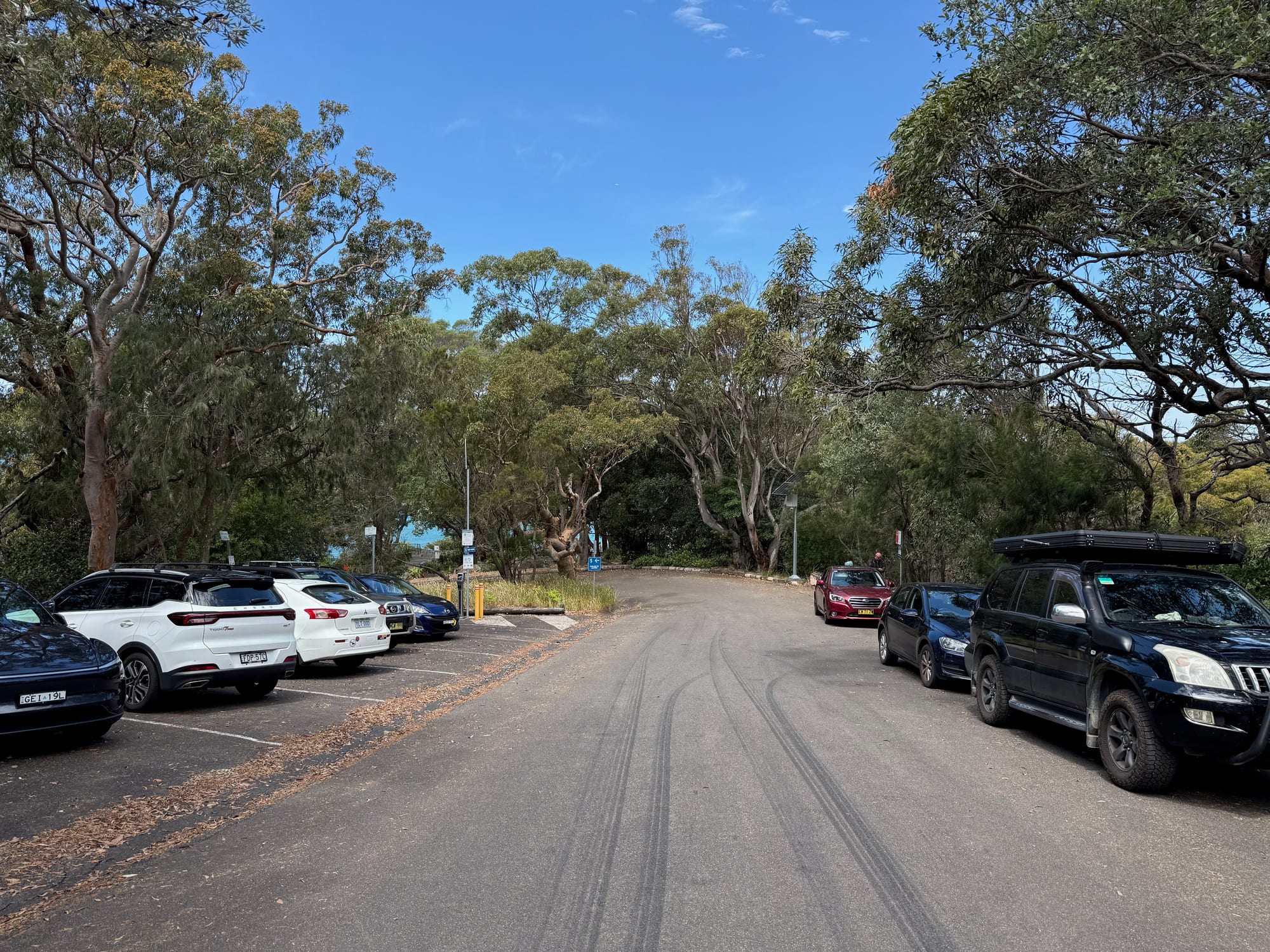
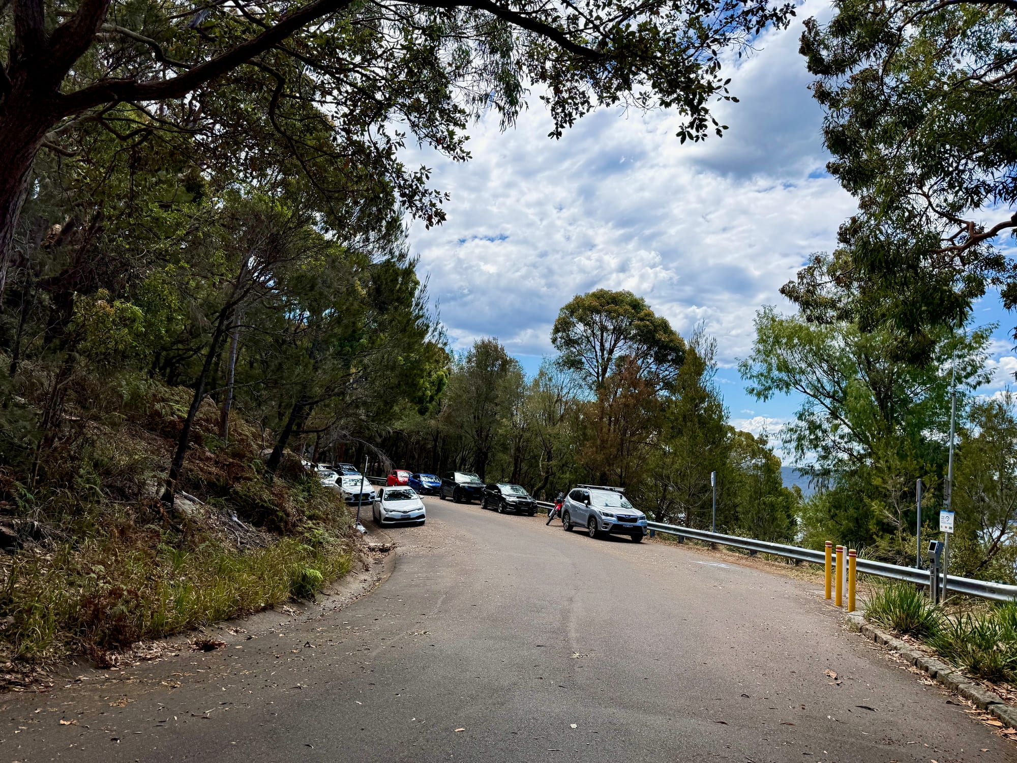
From Terrey Hills or Church Point, enter the park on McCarrs Creek Road and turn onto West Head Road, which runs north along the ridge to the lookout at the very end. It’s sealed all the way, with low heath, banksias and views of the water through the trees. Park entry is $12 per vehicle per day, paid at the entry station or with the Park’nPay app; our NSW National Parks annual pass covered it. At the end of the road there are bitumen and roadbase car parks, and more spots along the road just before the lookout, where the cars line up on both sides. On the sunny Saturday we went they were busy, so come early on a weekend.
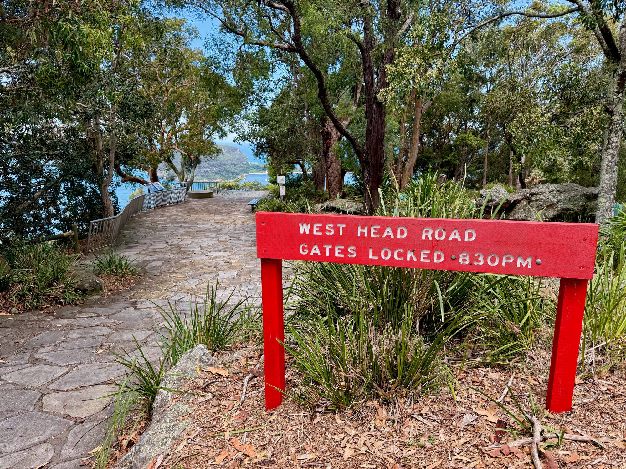
The gates to West Head are open from 6am to 8.30pm in daylight saving and 6am to 6pm the rest of the year. A red sign at the lookout makes sure you don’t forget.
The View from the Railing
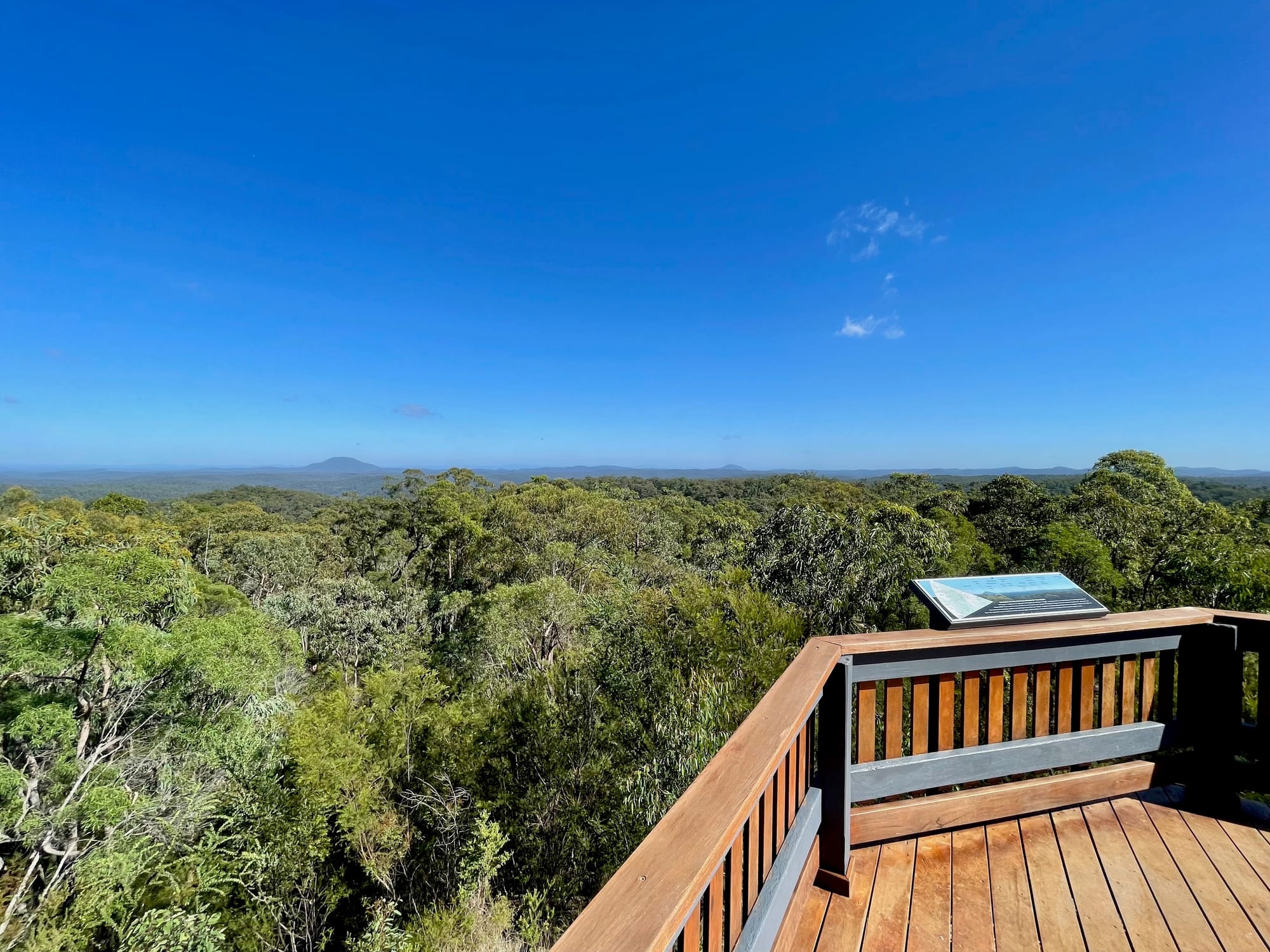
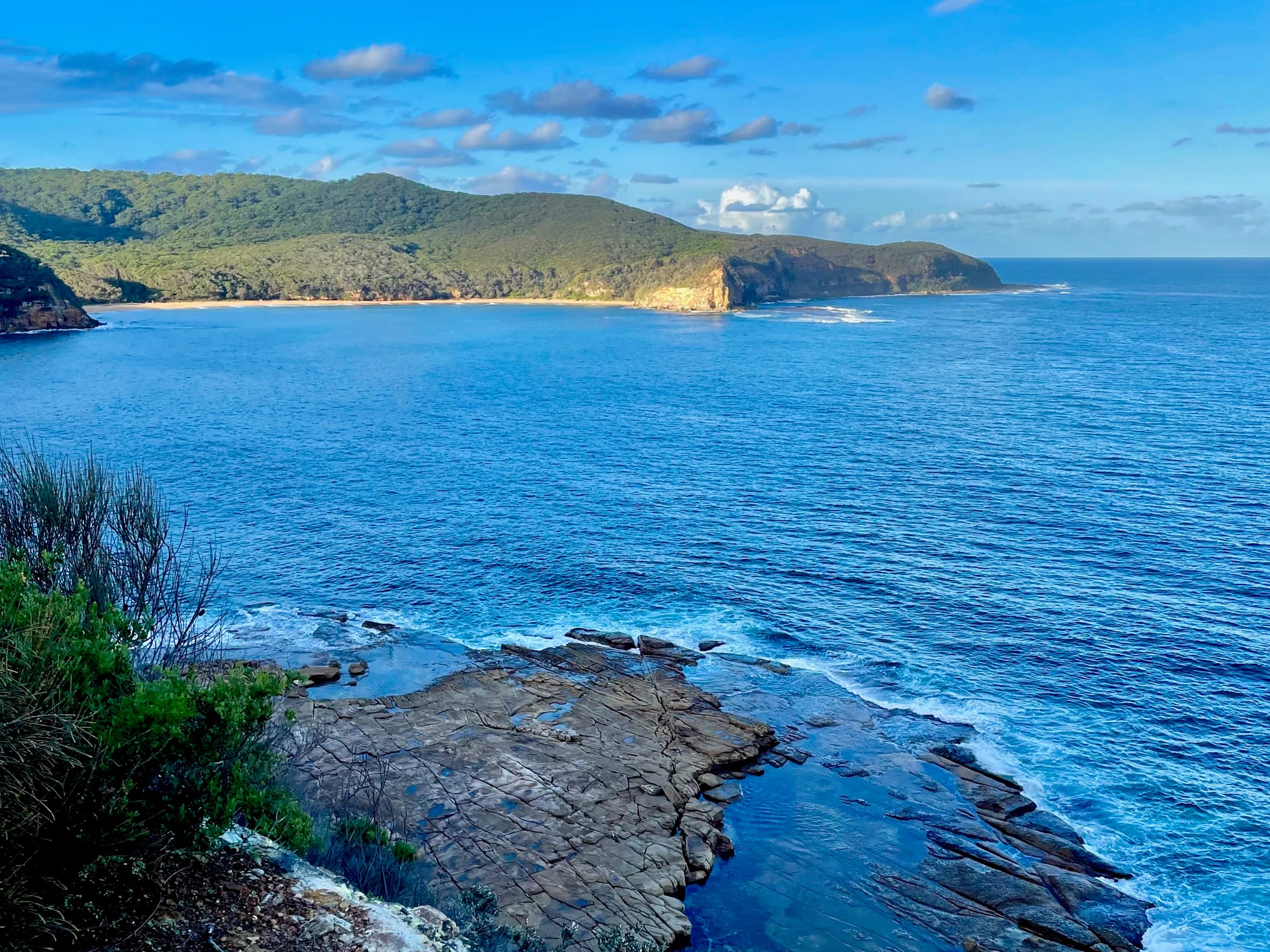
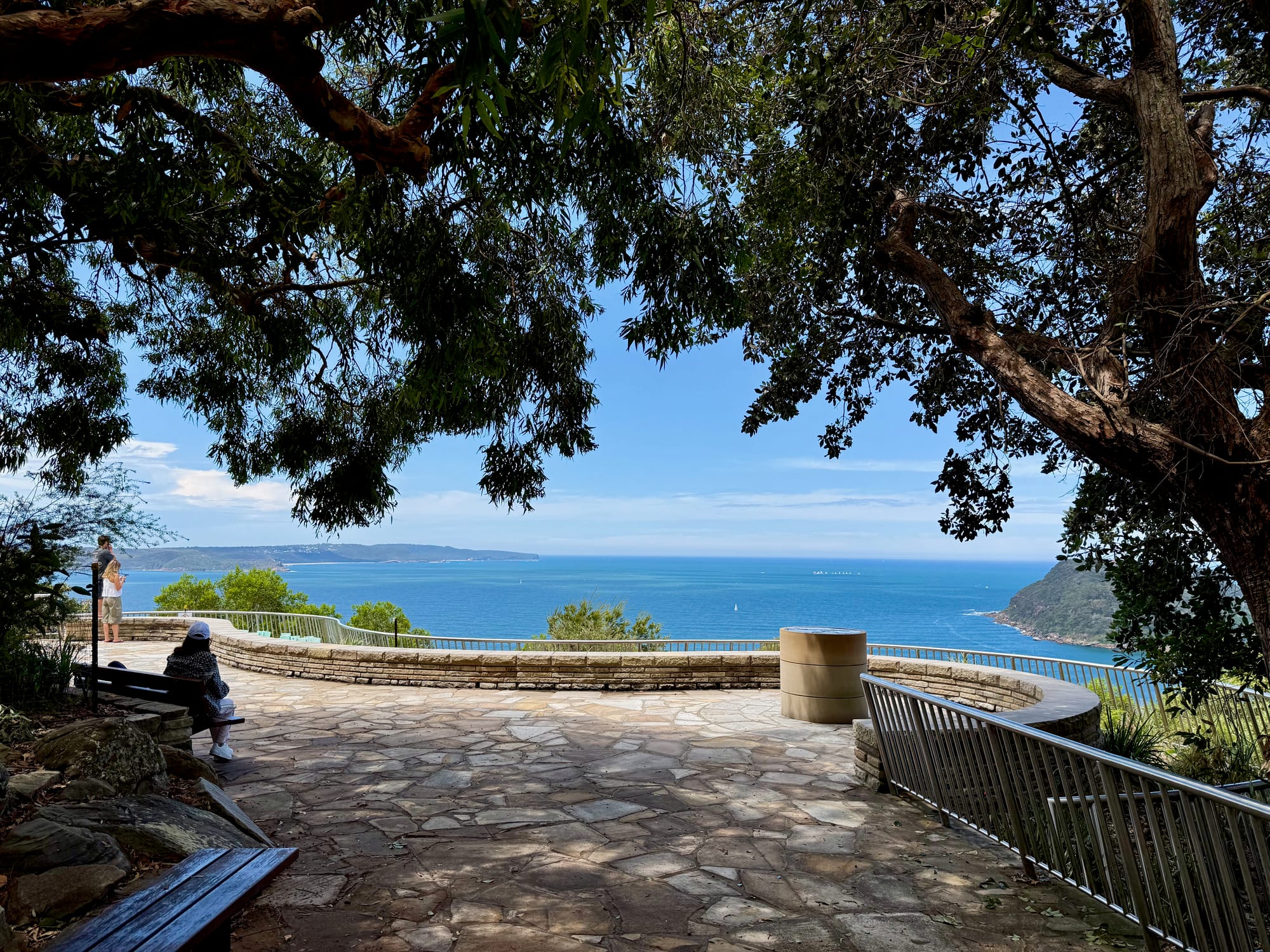
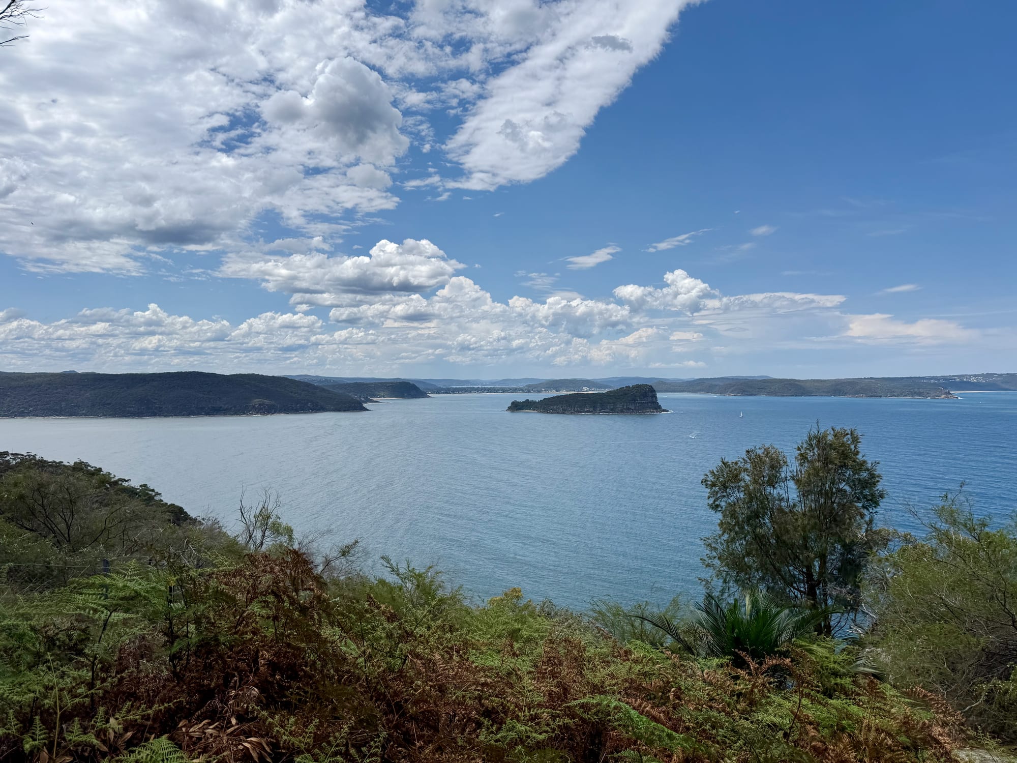
The path from the car park leads out to a long stone-flagged viewing area that follows the cliff edge, with a steel railing all along it and benches in the shade. Straight ahead is Barrenjoey Headland, joined to Palm Beach by a thin strip of sand, with the lighthouse on top. To the left, Lion Island sits in Broken Bay, with the Central Coast beyond it, including Patonga and Umina. To the right is Pittwater, with its boats and the houses of the northern beaches. Boats cross the bay all day, and on a clear day the water below the cliffs is a deep blue.
The Map Table and the WWII BatteryMap table & WWII battery
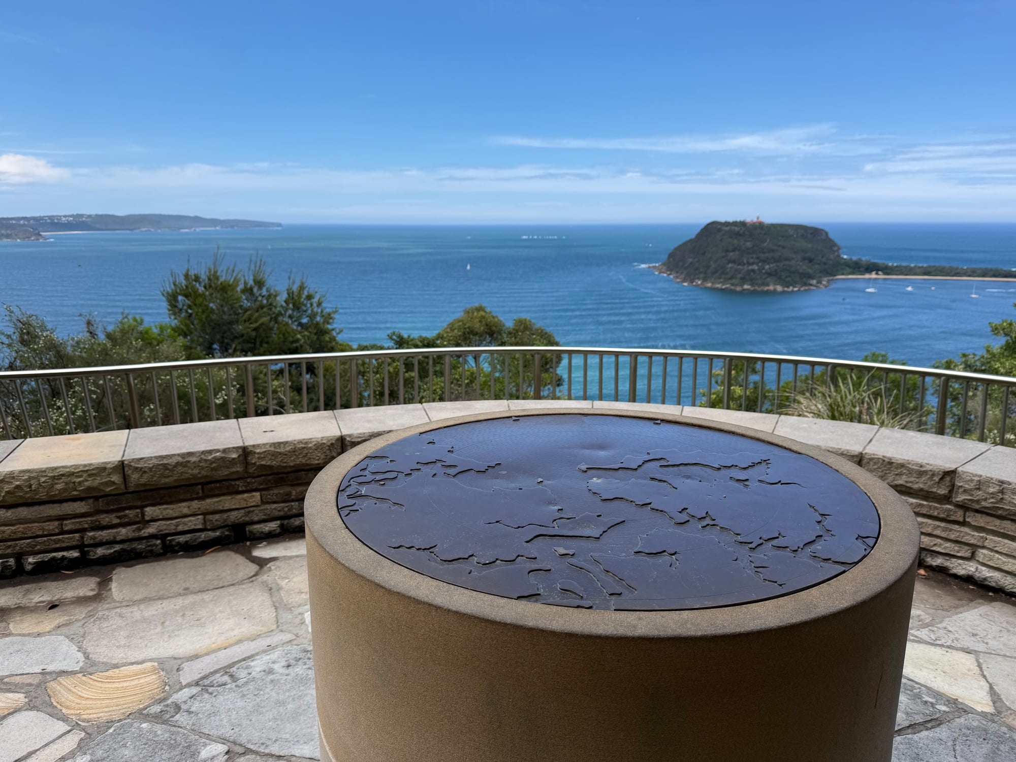
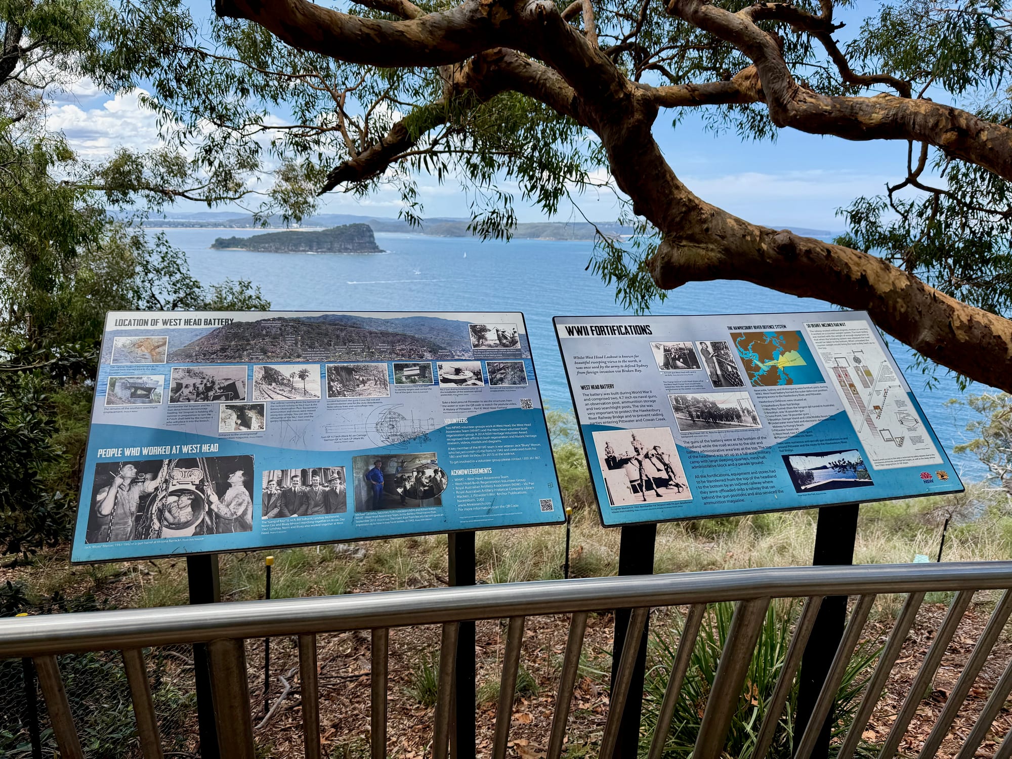
In the middle of the viewing area there’s a round bronze map table showing Broken Bay, Pittwater and the Hawkesbury River in relief, which makes it easy to work out what you’re looking at. Further along the railing, two NSW National Parks boards tell the story of the West Head Battery. It was built during World War II with two 4.7-inch ex-naval guns, an observation post, ammunition storage and two searchlight posts, to protect the Hawkesbury River Railway Bridge and stop raiding parties getting into Pittwater and Cowan Creek. The guns sat at the bottom of the headland, and supplies went down on an inclined railway. If you want to see what’s left, the West Head Army Track drops 450 m from the lookout to the battery; it’s steep and hard going, with ladders in places.
Facilities
There’s no toilet, tap or picnic table at the lookout itself, just the benches along the railing. The toilets, picnic tables and barbecues are at Resolute picnic area, a short drive back along West Head Road, so that’s the place for lunch. Bring drinking water, a hat and binoculars if you have them. Signs near the lookout ask you not to feed the goannas, and a notice warns of 1080 baiting in the area, another reason to leave the dog at home: dogs aren’t allowed in the park. Recreational drones aren’t allowed either.
Things to Do NearbyThings to do
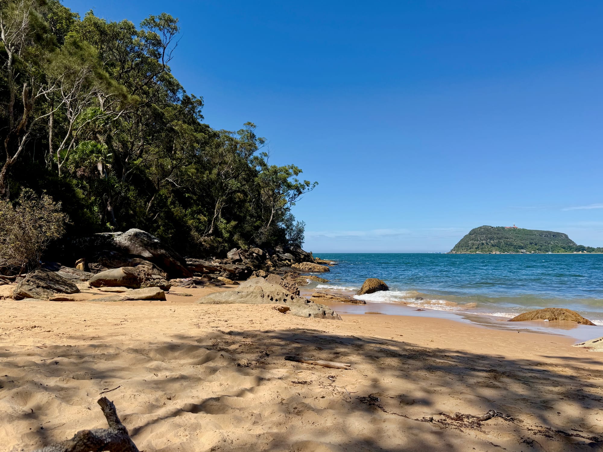
Several walks start at the lookout. We took the track down to West Head Beach, about 500 m of steps and rock to a sandy cove right below Barrenjoey, and swam there before the climb back up. The NSW National Parks board by the car park also lists Resolute Beach (1 km, 1 hour return), Great Mackerel Beach (1.6 km, 2 hours return) and the Red Hands Track to Red Hands Cave, with its Aboriginal hand stencils (950 m, 1 hour return). Back along West Head Road are Resolute picnic area, the Flint and Steel track and the start of the walk to The Basin, all covered in our Ku-ring-gai Chase guide.
Summary
West Head Lookout gives you one of the best views around Sydney for almost no effort: a sealed road, a short step-free path and Barrenjoey, Lion Island and Broken Bay laid out in front of you, with a bit of WWII history on the side. Bring water, as the toilets are back at Resolute picnic area, come early on a sunny weekend, and keep an eye on the gate times. If you have a couple of hours, walk down to West Head Beach for a swim.
One of the best views around Sydney, at the end of a sealed road.
From the railing you look straight across to Barrenjoey Headland and Palm Beach, with Lion Island in Broken Bay, and the boards tell the story of the WWII battery below. Bring water, as the toilets are at Resolute picnic area, and watch the gate times.
- Day trips
- Couples
- Families
Yes. It's $12 a car for the day, or free with an NSW National Parks pass, and the view over Barrenjoey and Broken Bay is worth the drive on its own.
Recommended Gear for West Head Lookout
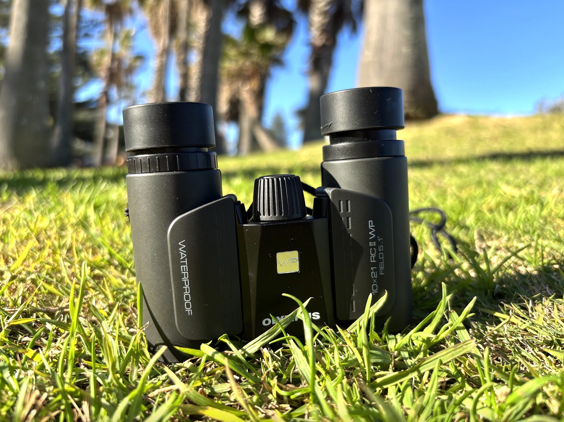
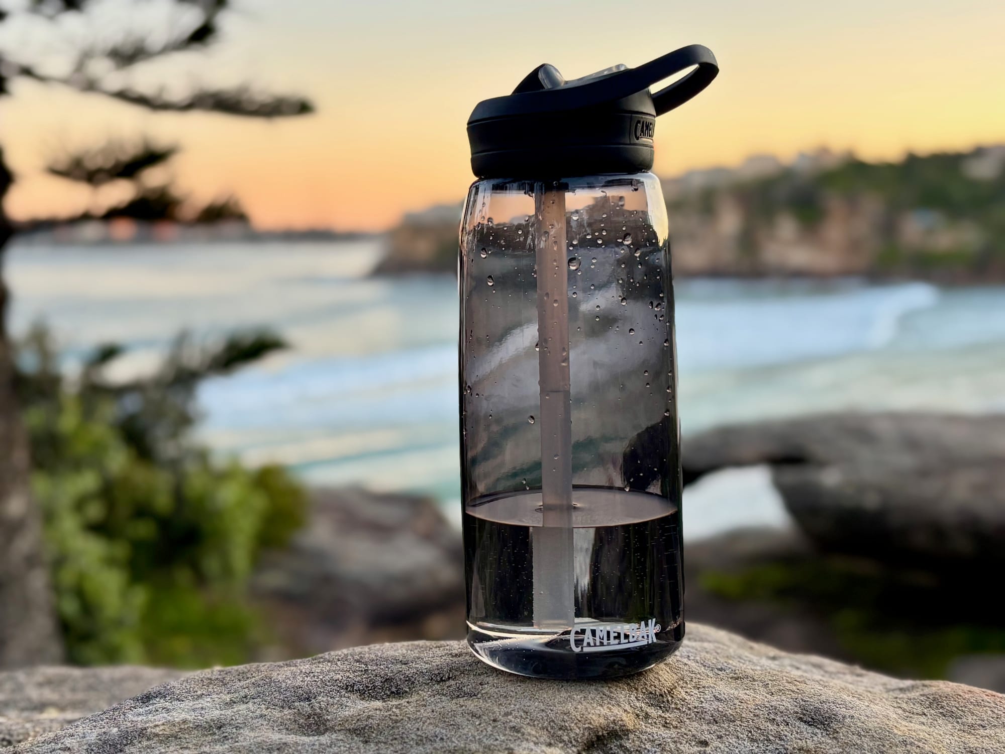
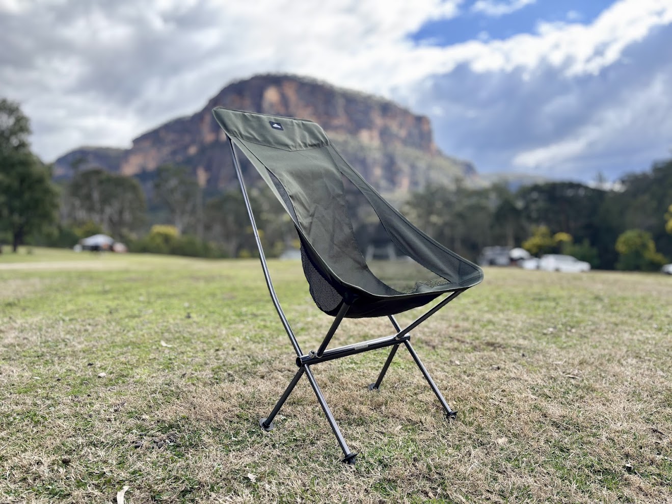
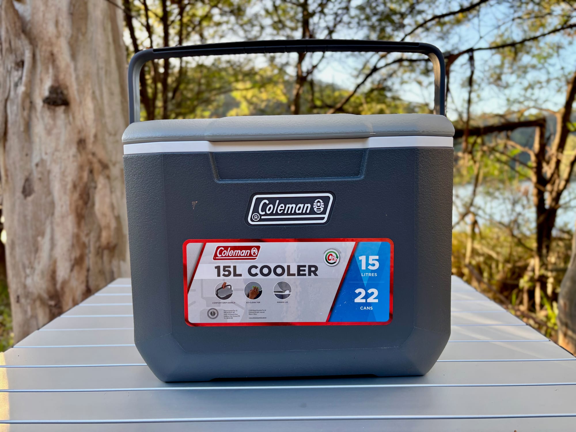
A pair of binoculars brings the lighthouse on Barrenjoey and the boats in Broken Bay a lot closer. There’s no water at the lookout, so bring an insulated water bottle. For lunch at Resolute picnic area, a light camping chair and a hard cooler for the drinks make it a proper picnic.