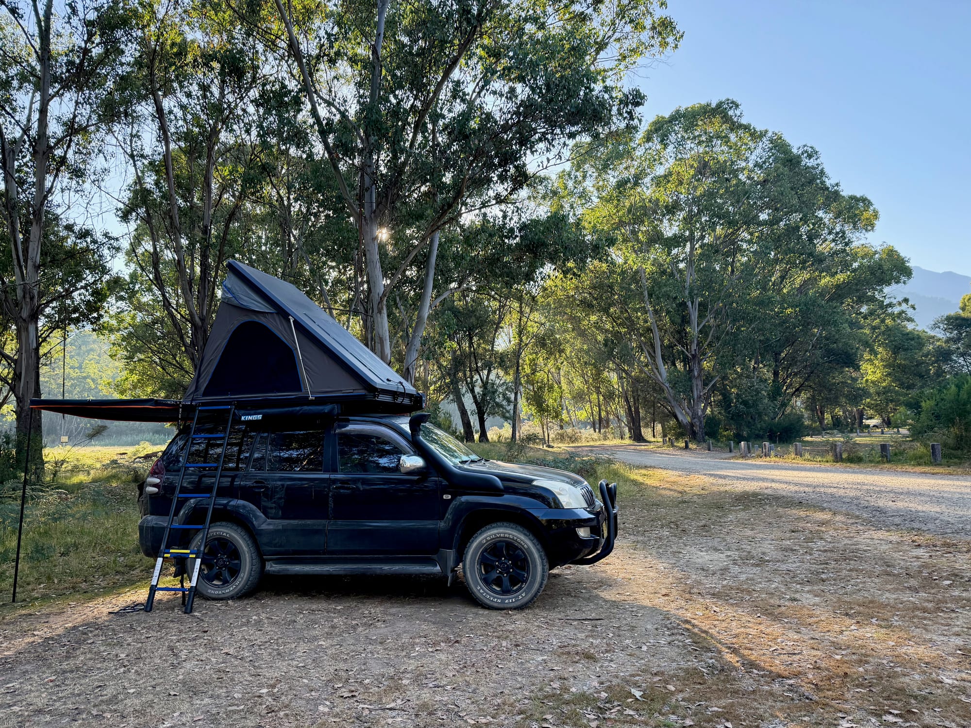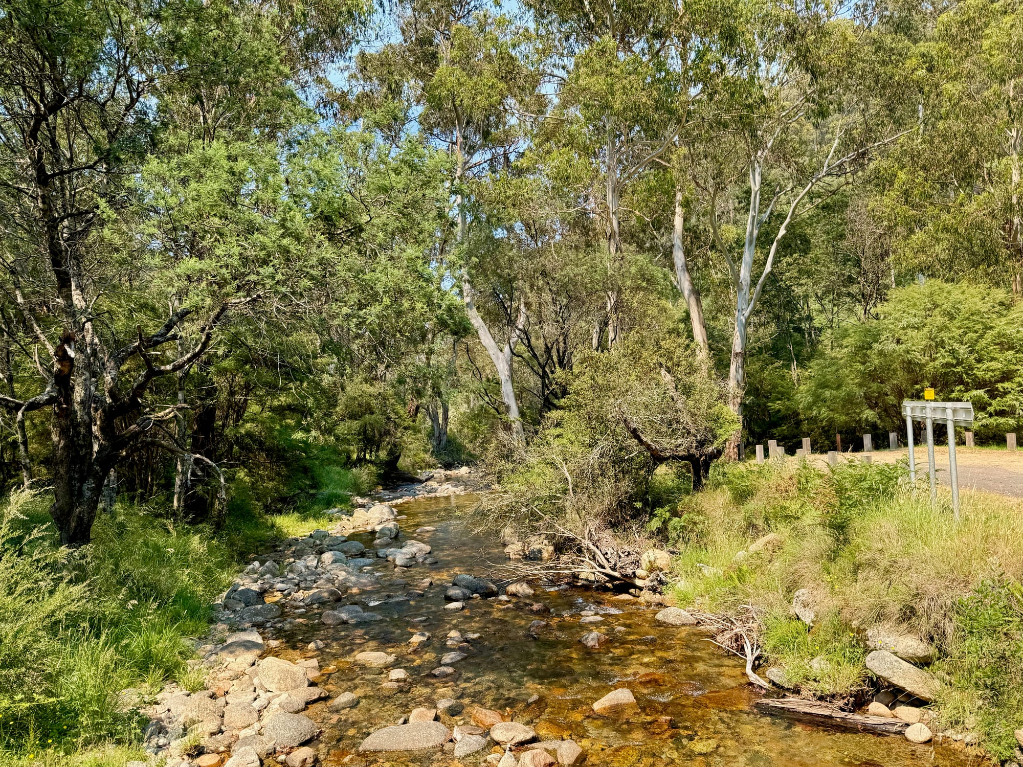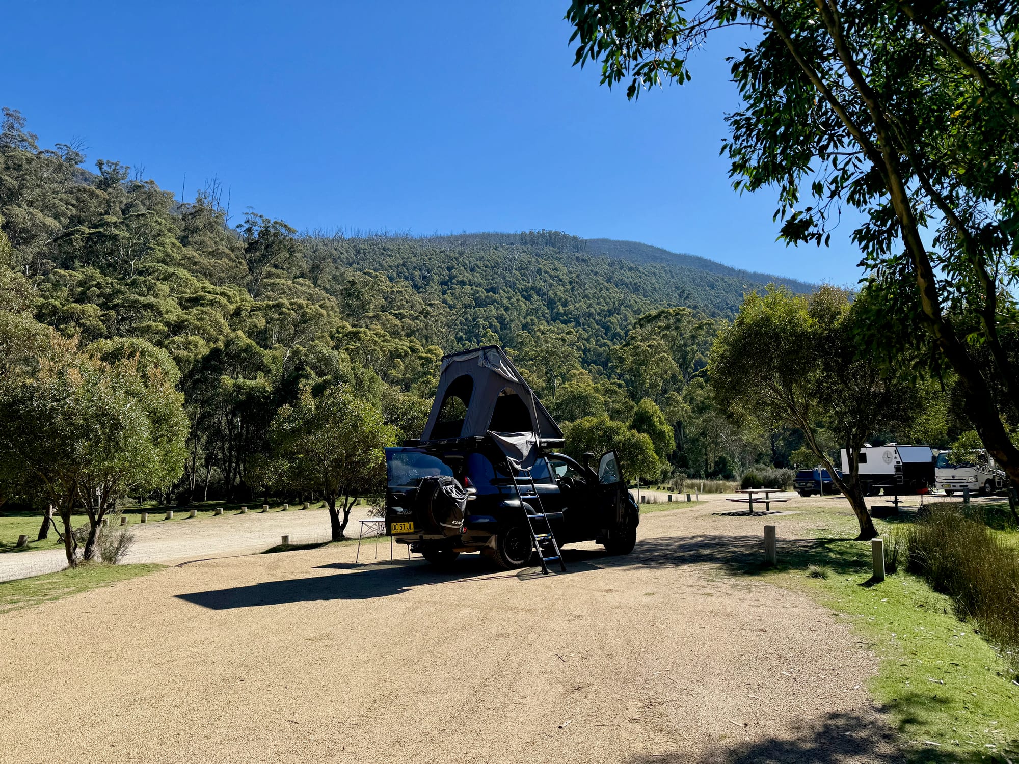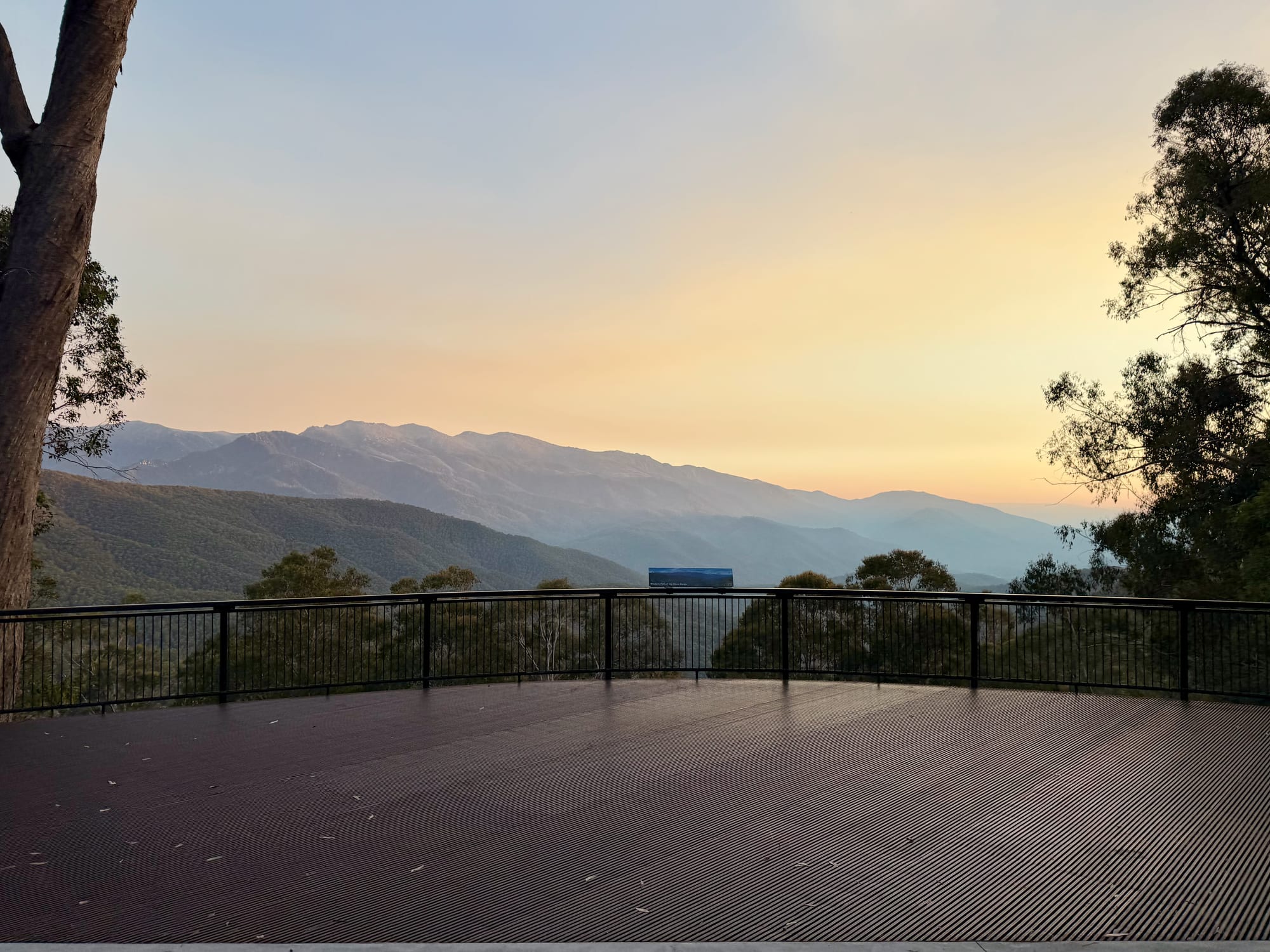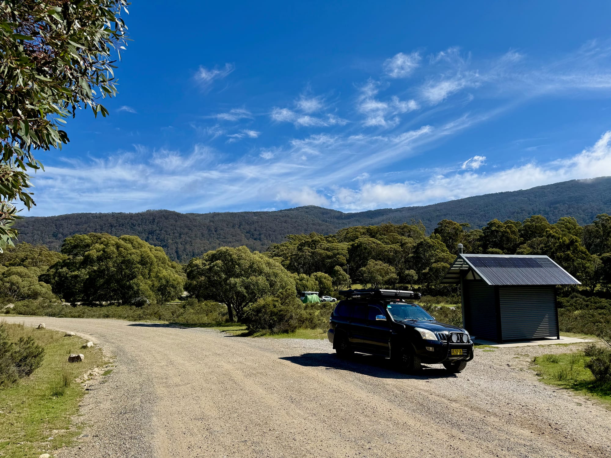
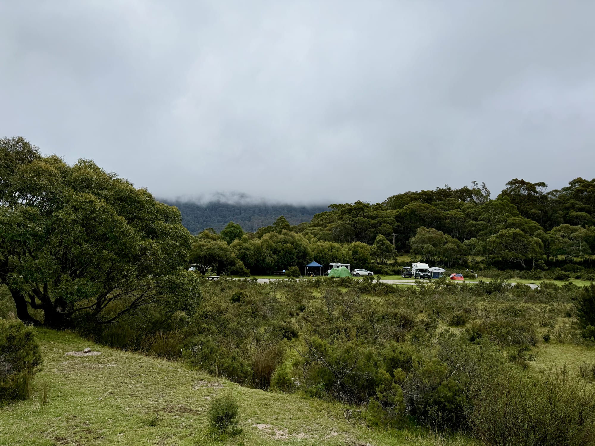
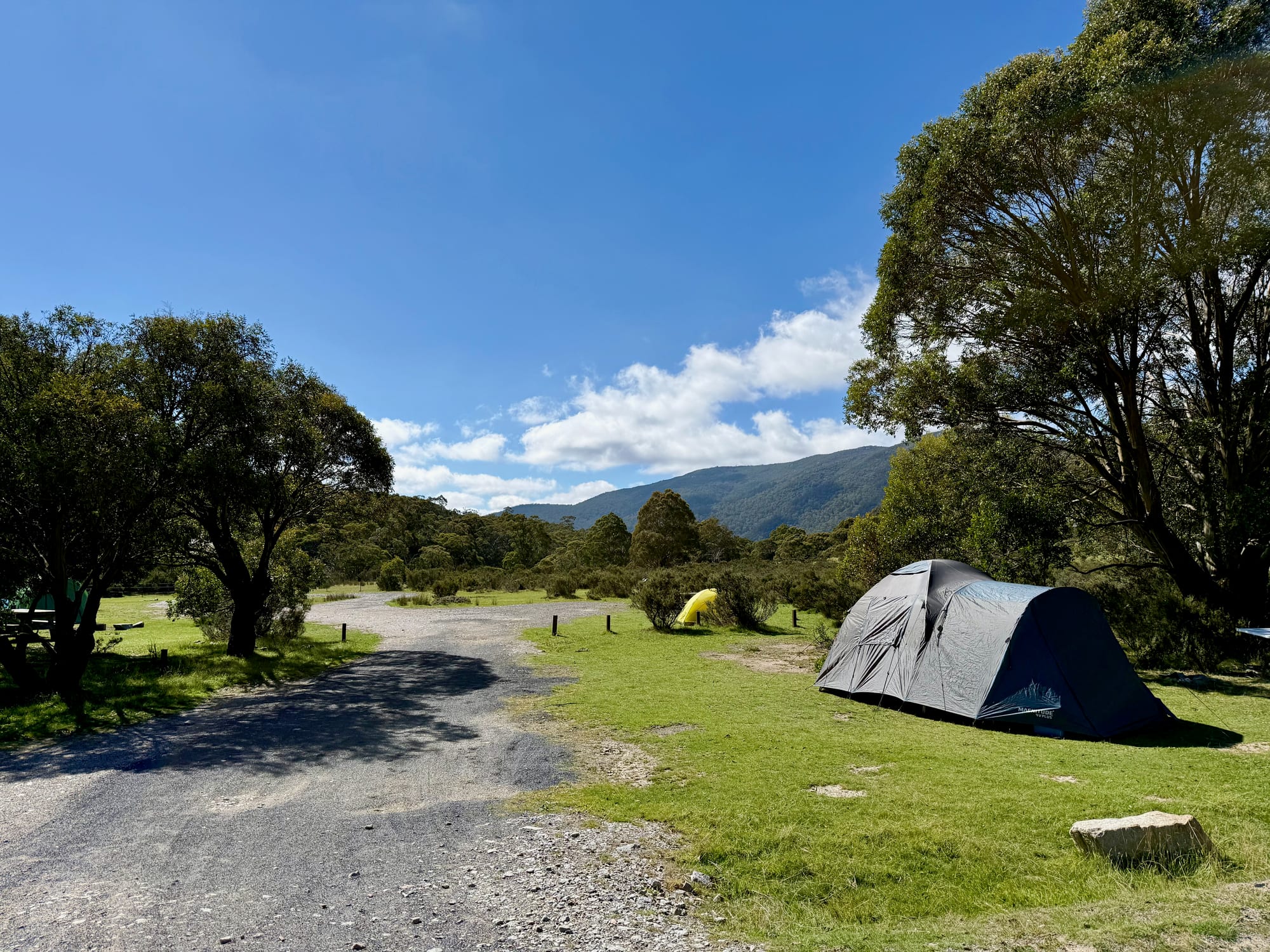
Island Bend is a big, open campground near the Snowy River, on the site of an old Snowy Scheme township below Guthega. We spent a night here on our autumn trip to the Snowy Mountains in April 2026: we arrived under low cloud, put the rooftop tent up, cooked corn on the fire in the evening, and woke up to a clear blue morning before driving on to Ngarigo and Thredbo.
What we like
- Big, open grassy sites
- Near the Snowy River
- Fire rings and picnic tables
- Room for groups
- Only a $6 booking fee
What we don’t
- Some areas closed (asbestos)
- No drinking water
- Cold at 1250 m
About Island Bend CampgroundAbout
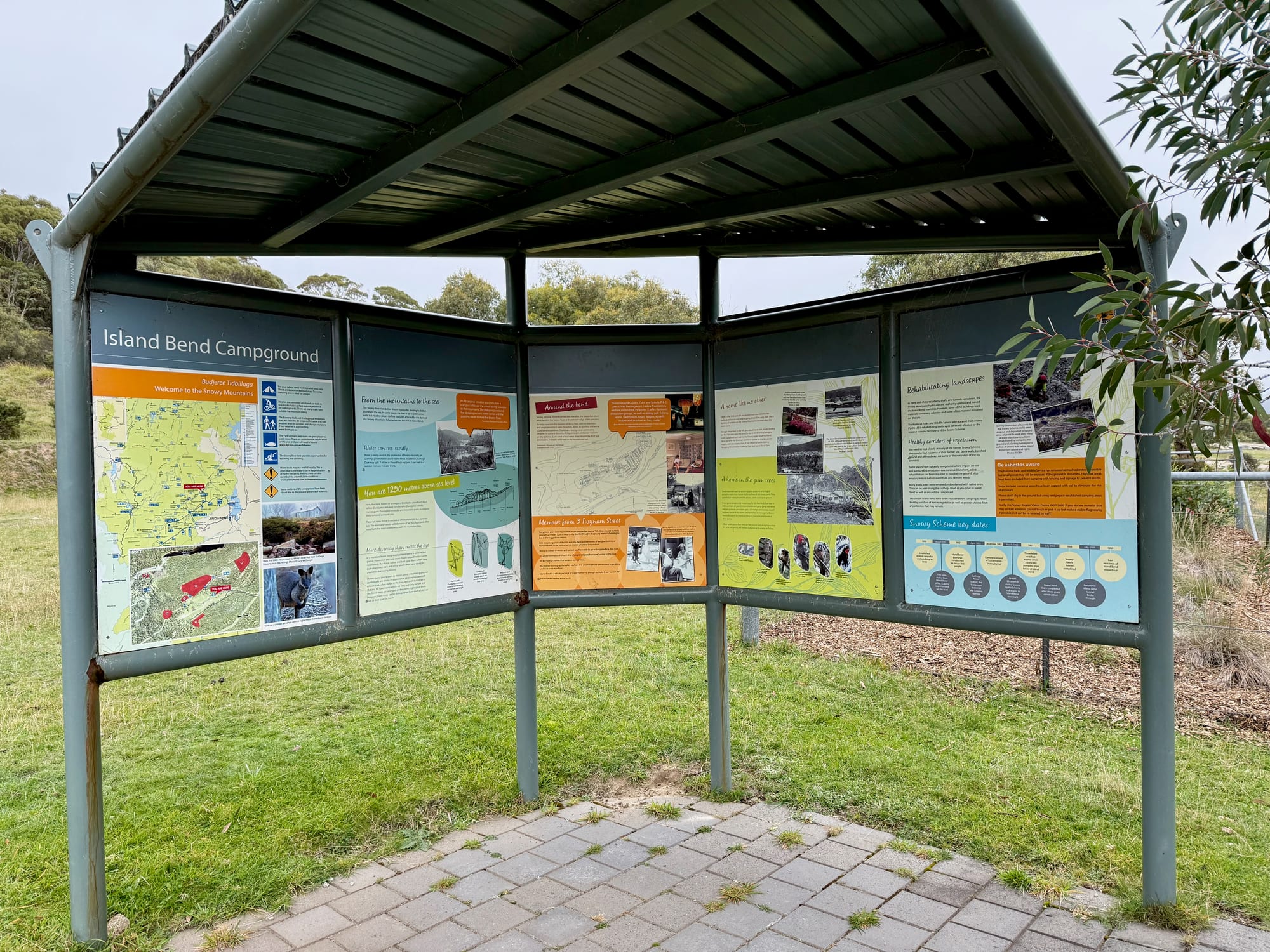
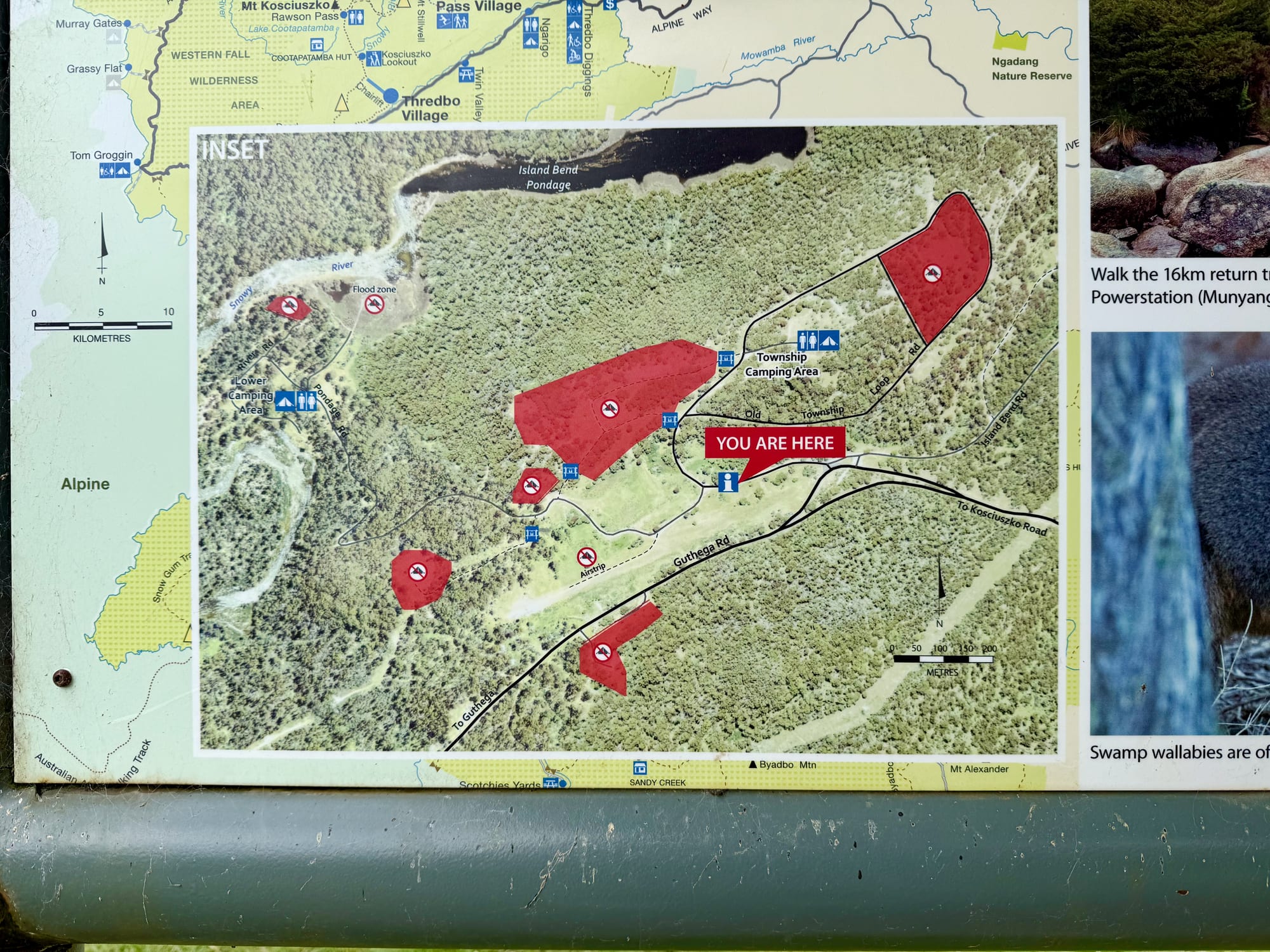
Island Bend is run by NSW National Parks, in the Thredbo-Perisher area of Kosciuszko National Park, at 1250 m above sea level. It’s one of the bigger campgrounds in the park, with 70 unpowered sites for tents, camper trailers and camping beside your vehicle, spread over an upper and a lower camping area plus the Township camping area, which the board recommends for groups. There’s no camping fee, but sites are booked online with a $6 booking fee, and the maximum stay is 14 days. Some sections of the campground have been closed because of the possible presence of asbestos; they’re marked in red on the map board, so camp only in the designated areas.
Quick facts
- AddressIsland Bend Campground, Guthega Road, Kosciuszko National Park NSW, AustraliaSee on the trip map →
- FacilitiesToiletsPicnic TablesFire PitsWood BBQsCamper Trailer AccessFishingKayakingNo Drinking WaterNo ShowersNo Power
- Good to know70 sites1250 m altitudeSome areas closed
- Fees$6 booking fee$17 park entry a day$29 a day in winter
- 8.6/10Overall rated
- Book via NSW National Parks
Getting There
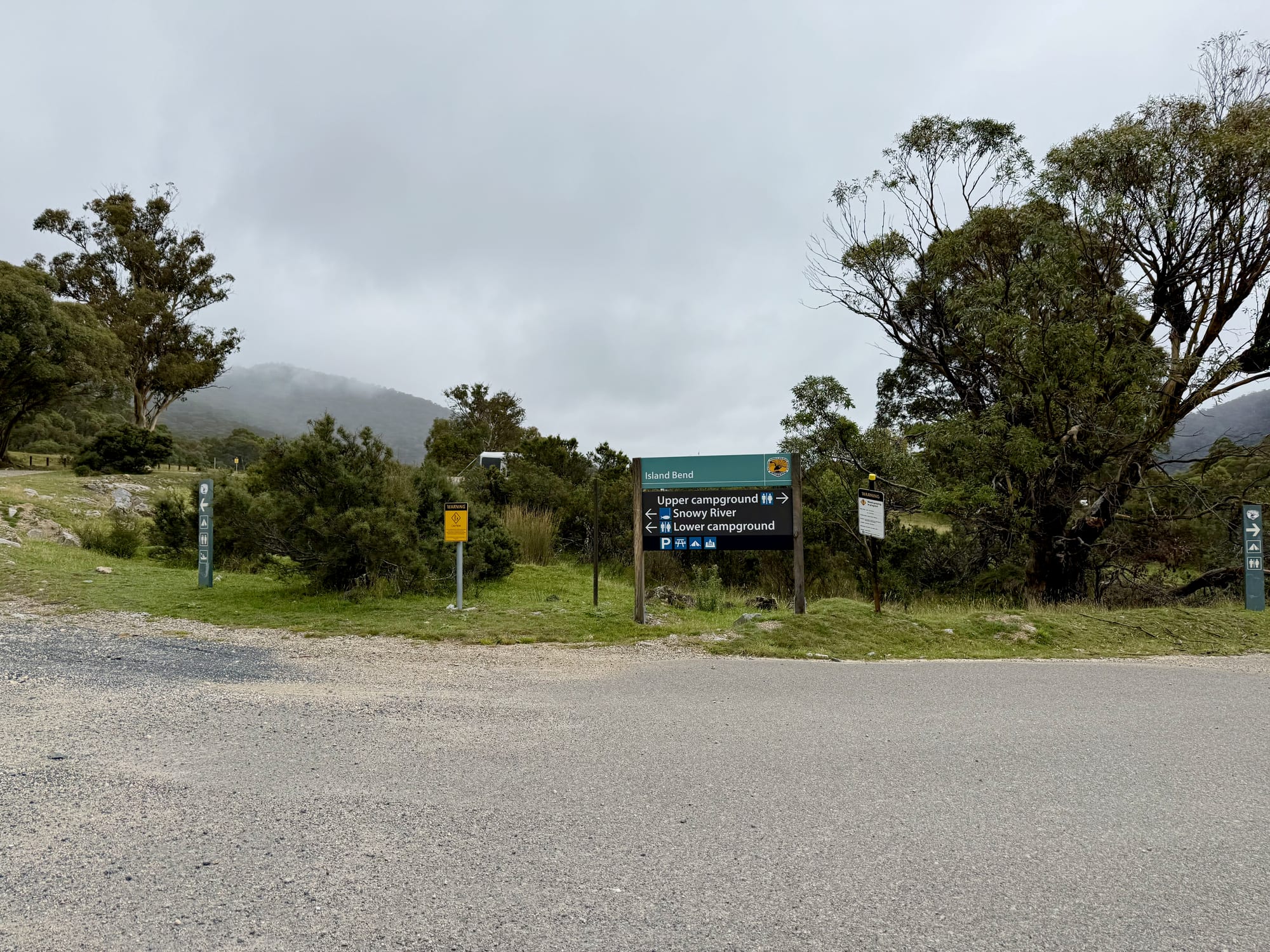
Island Bend is off Guthega Road, the road to Guthega and its power station, and the drive in is sealed. Inside the campground, gravel roads loop around the camping areas, and a signpost at the first junction points left to the lower campground and the Snowy River and right to the upper campground. The gravel is fine for a 2WD in the dry, but National Parks says you need a 4WD to reach the lower camp in extreme wet weather. Like everywhere in this part of the park, you need a park pass on the car: $17 a day outside winter and $29 a day in winter.
The Campsites
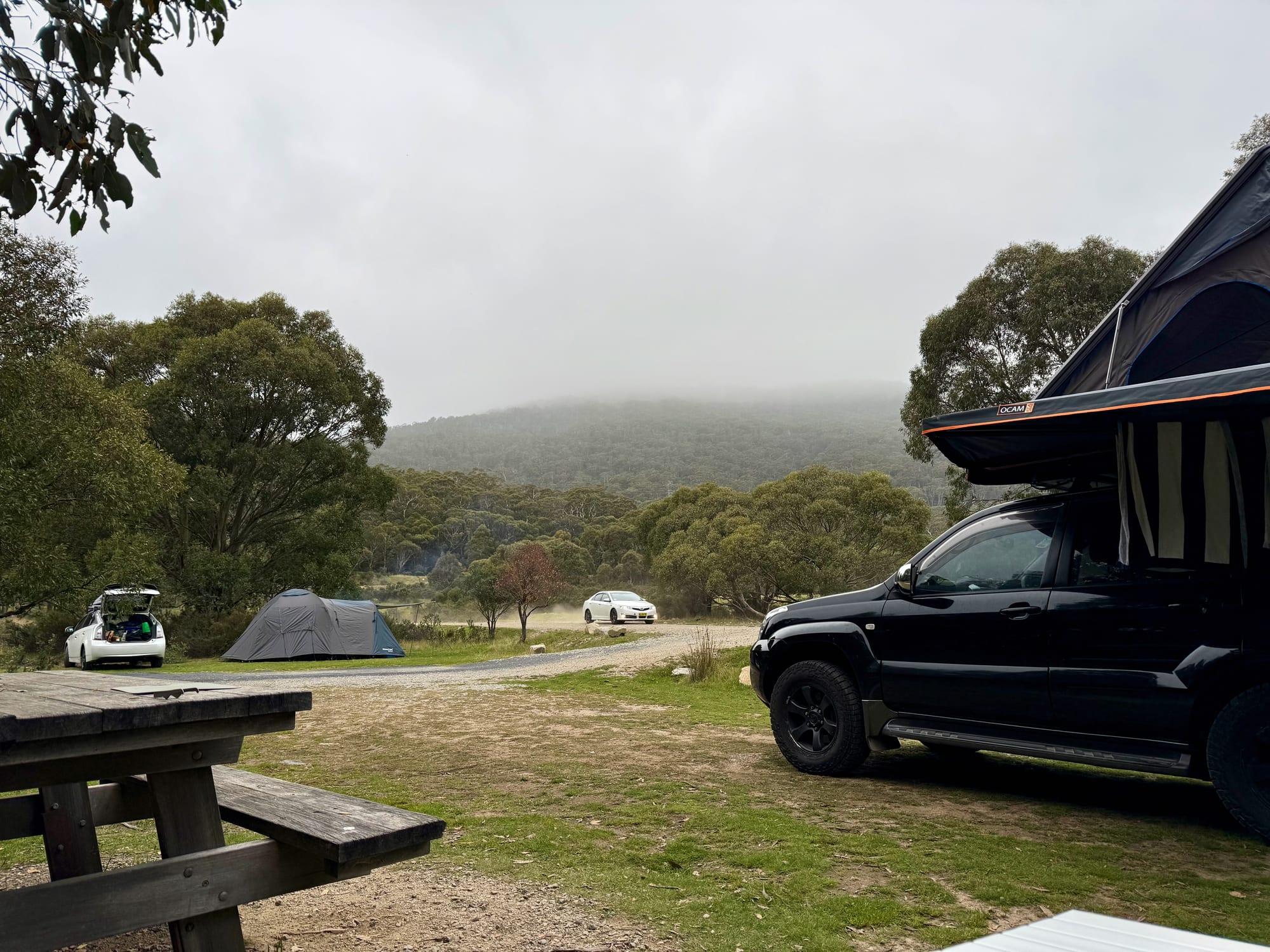
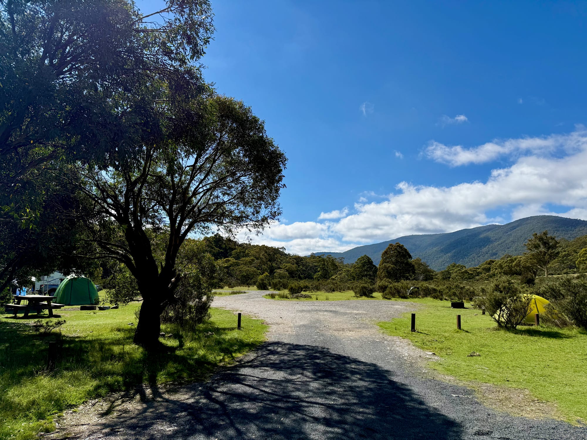
The sites are open, grassy flats between patches of low snow gums and heath, with the forested range all around and plenty of room between campers. Picnic tables and steel fire rings are dotted across the grass, and you park on or beside your site, which suits a rooftop tent. On our first afternoon low cloud sat on the hills and everything was grey and quiet; the next morning the cloud had gone and the whole valley was green under a blue sky.
Campground LayoutLayout
Island Bend has two camping areas off the Guthega Road, with the info shelter at the turn-off. The Township camping area, with toilets, is up Old Township Road to the north-east, and the Lower camping area, also with toilets, is down Pondage Road by the Snowy River. Several patches around the site are closed because of possible asbestos, so camp only in the marked areas.
Facilities and Campfires
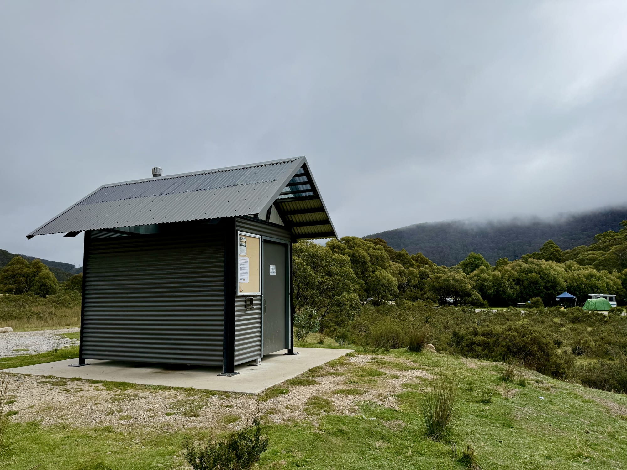
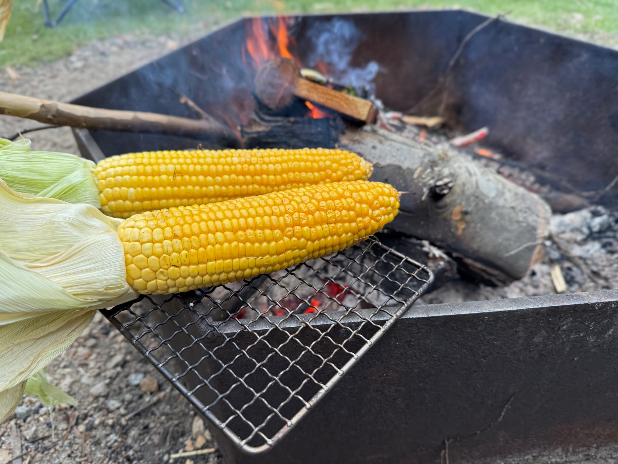
Facilities are basic: unisex toilets, including accessible ones, in small corrugated blocks around the camping areas, plus picnic tables and steel fire rings. There’s no drinking water, no showers and no power, so bring your own water. We had a fire in the fire ring in the evening and grilled corn on it; bring firewood with you and check for fire bans before you light up. Pets aren’t allowed in the national park.
The Old Township by the Snowy RiverSnowy River & township
The boards at the entrance tell the story of the place. Island Bend was a township for the workers of the Snowy Mountains Scheme, and panels on the old streets and homes sit alongside ones on the montane forest of snow gums, black sallees and mountain gums, and the Snowy River’s 500 km journey to the sea. The river below the campground is good for trout fishing, with a licence and seasonal restrictions, and for kayaking and canoeing. The water level can rise and fall quickly, because water is used to make hydro-electricity at Guthega power station upstream and the dam may spill, so don’t camp or leave gear close to the water. National Parks lists kangaroos, red-necked wallabies and wombats around the campground.
Things to Do NearbyThings to do
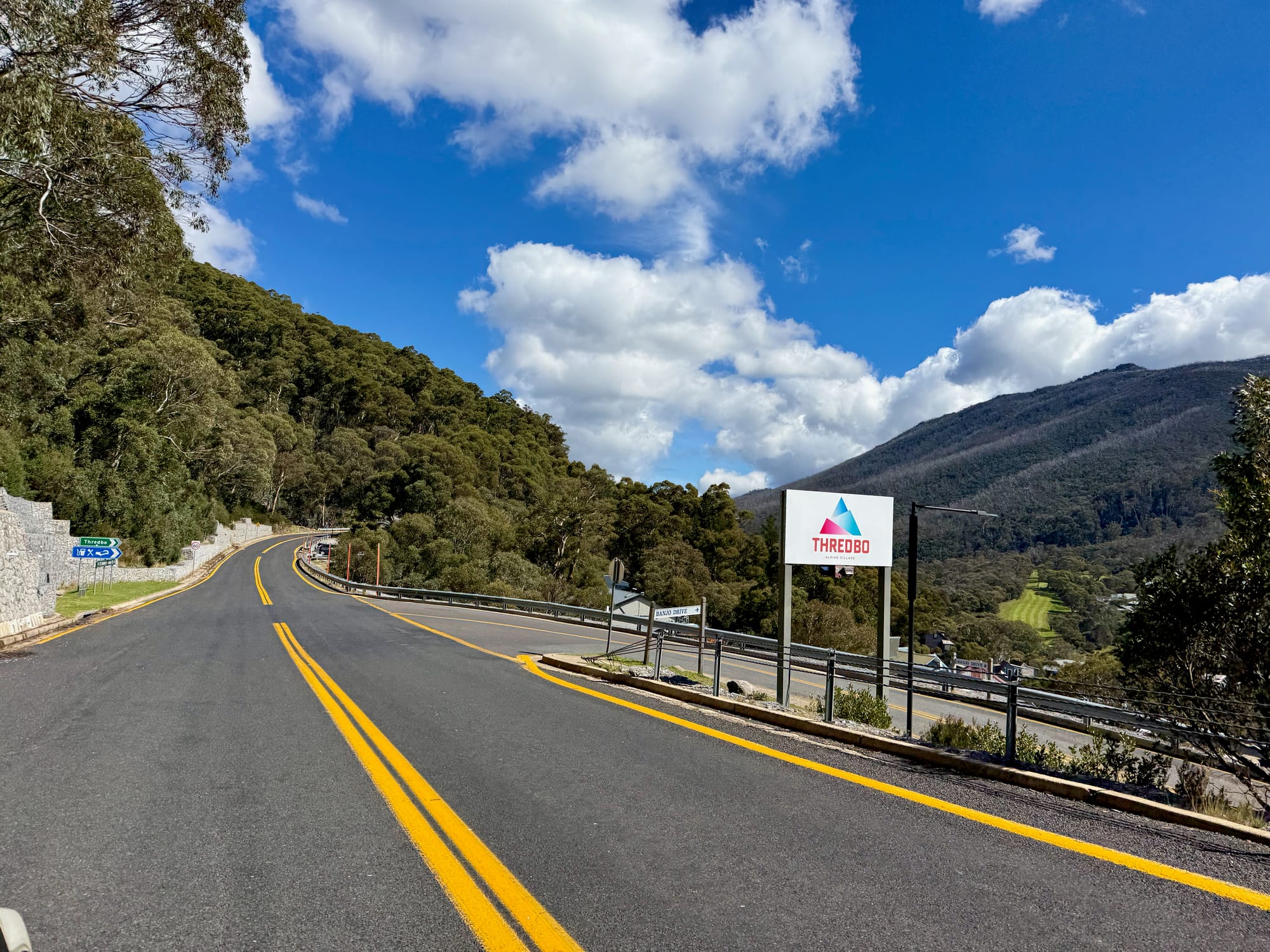
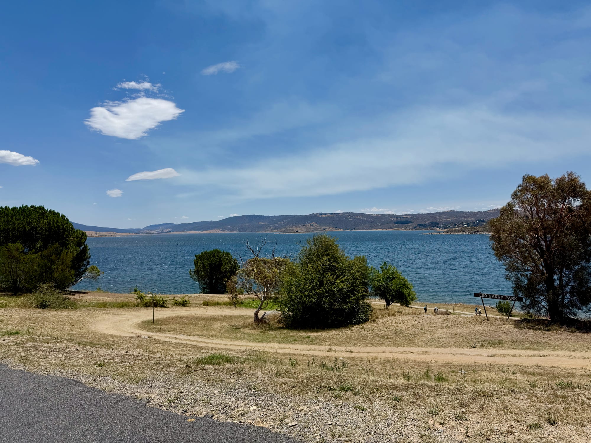
Guthega is further up the road: the boards suggest the 16 km return walk to White’s River Hut from Guthega Power Station, and the Illawong Walk and the Jagungal Wilderness are close by. Perisher and Charlotte Pass, the start of the Mt Kosciuszko summit walk, are about half an hour away. Back down the hill, Lake Jindabyne and the town of Jindabyne are on the way to the Alpine Way, and Thredbo is a scenic drive along the Thredbo Valley.
Summary
Island Bend is a big, open campground near the Snowy River: 70 grassy sites over the old township, fire rings and picnic tables, toilets around the camping areas and the range all around. It costs a $6 booking fee plus the daily park entry. Some sections are closed for asbestos, it gets cold at 1250 m, and there’s no drinking water, so camp in the marked areas and come prepared.
A big, open campground by the Snowy River.
Island Bend has 70 grassy sites spread over the old township site at 1250 m, with fire rings, picnic tables and toilets, and the river below for fishing and paddling. Some sections are fenced off for asbestos, so stick to the marked camping areas, and bring water and warm gear.
- Paddlers
- Anglers
- Groups
Yes. A $6 booking fee gets you a roomy grassy site with a fire ring near the Snowy River; the daily park entry is extra.
Recommended Gear for Island Bend Campground
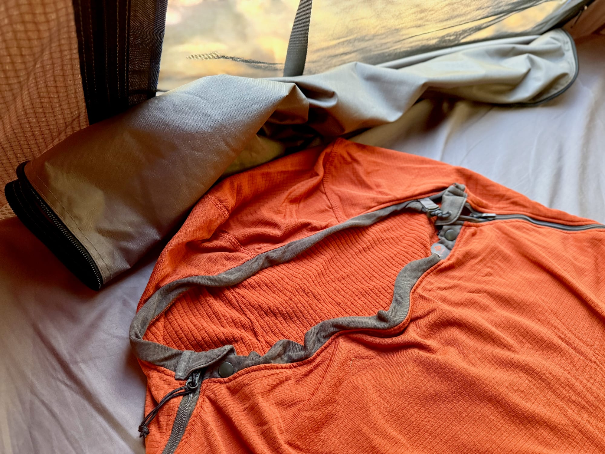
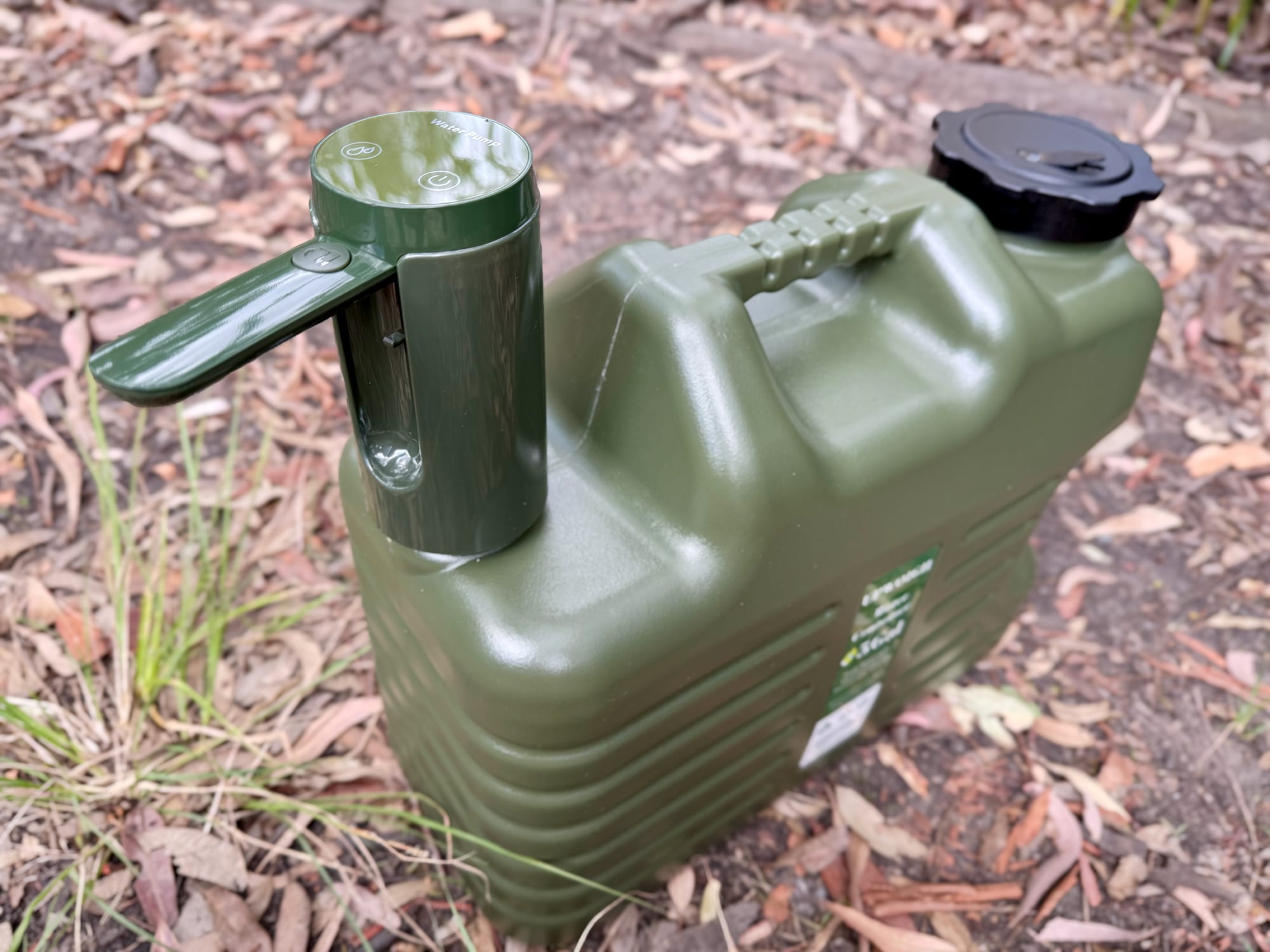
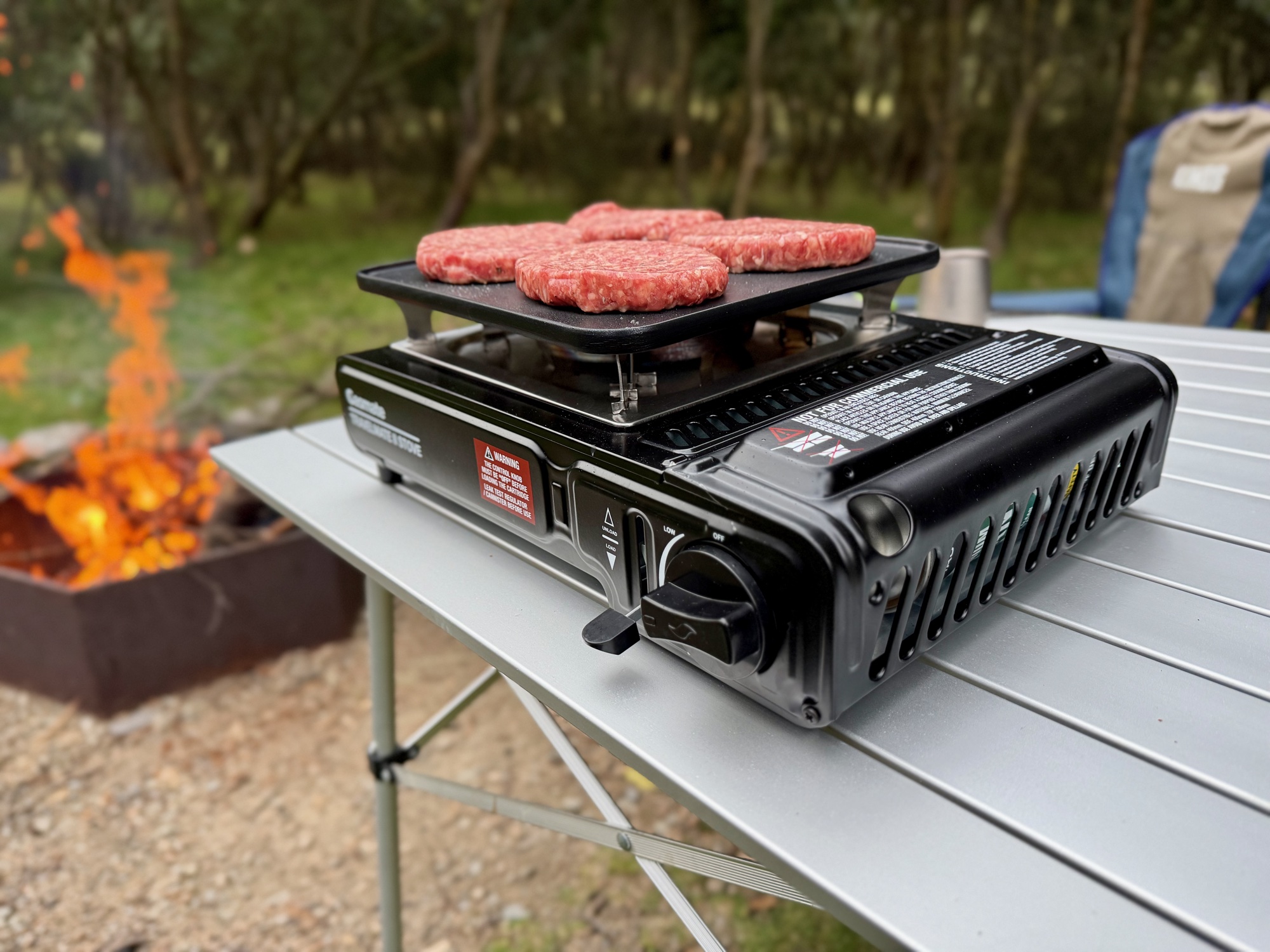
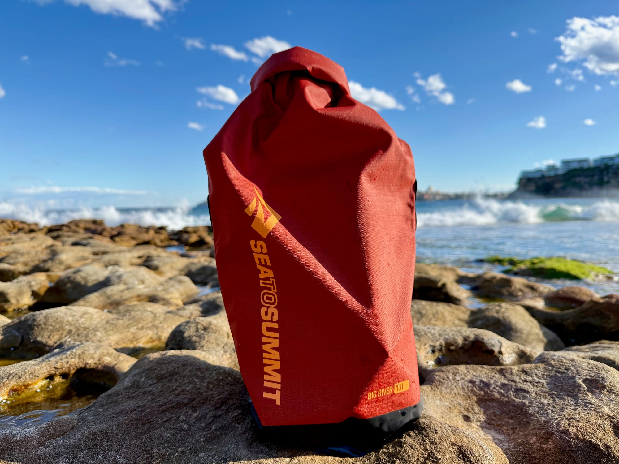
At 1250 m the nights are cold, so pack warm sleeping gear, and bring your own water in a good water container. A gas stove from our best camping stoves guide covers the cooking on fire ban days, and if you’re paddling the Snowy River, keep your phone and keys in a dry bag.