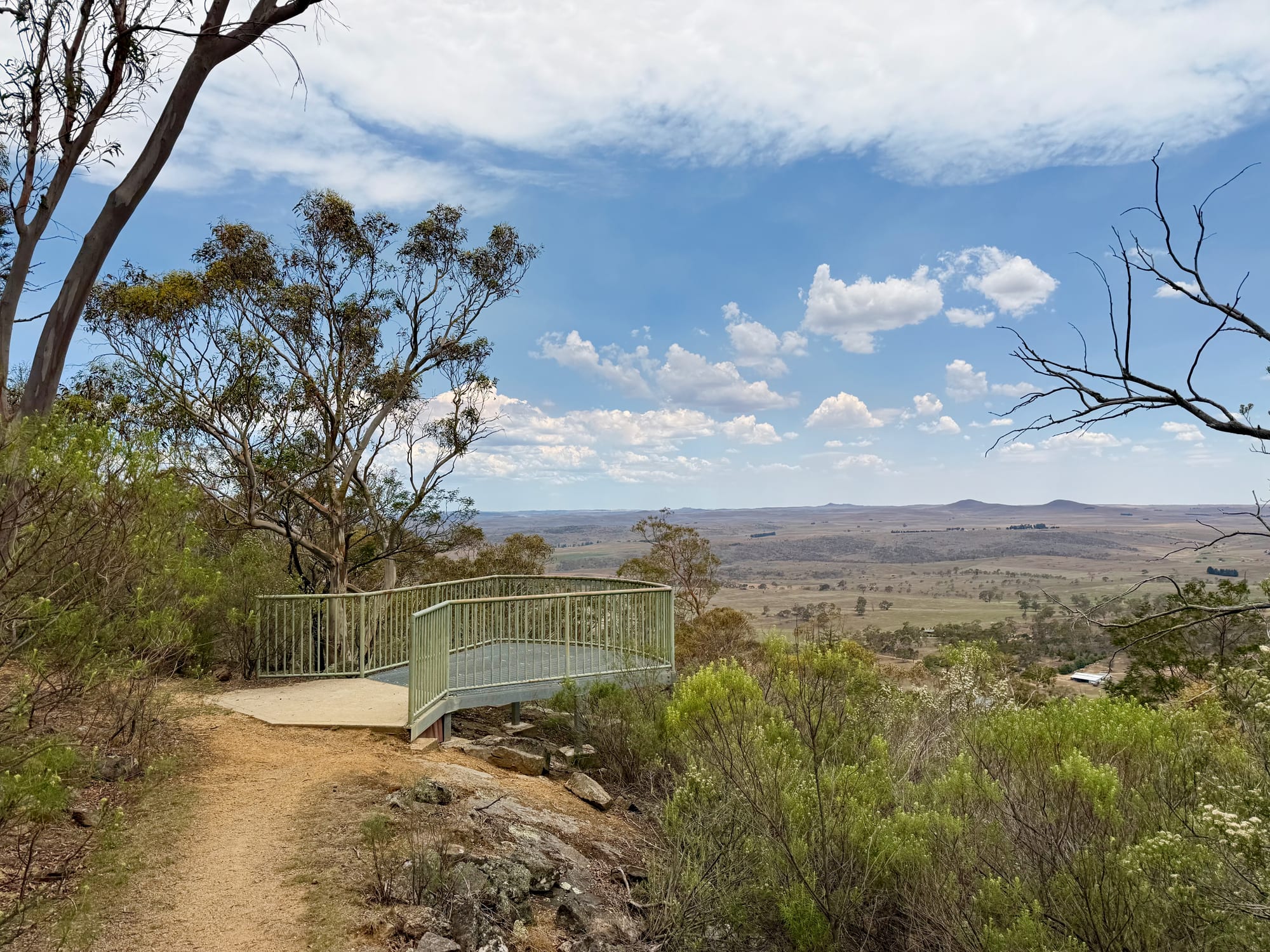
Mount Gladstone is the hill on the western edge of Cooma, with a nature reserve on top and wide views over the Monaro plains to the ranges. We drove up on a hazy summer afternoon in early January 2026, on the way into Cooma after a day on the Alpine Way through Thredbo and along Lake Jindabyne, and spent about half an hour walking between the lookouts.
About Mount Gladstone LookoutAbout
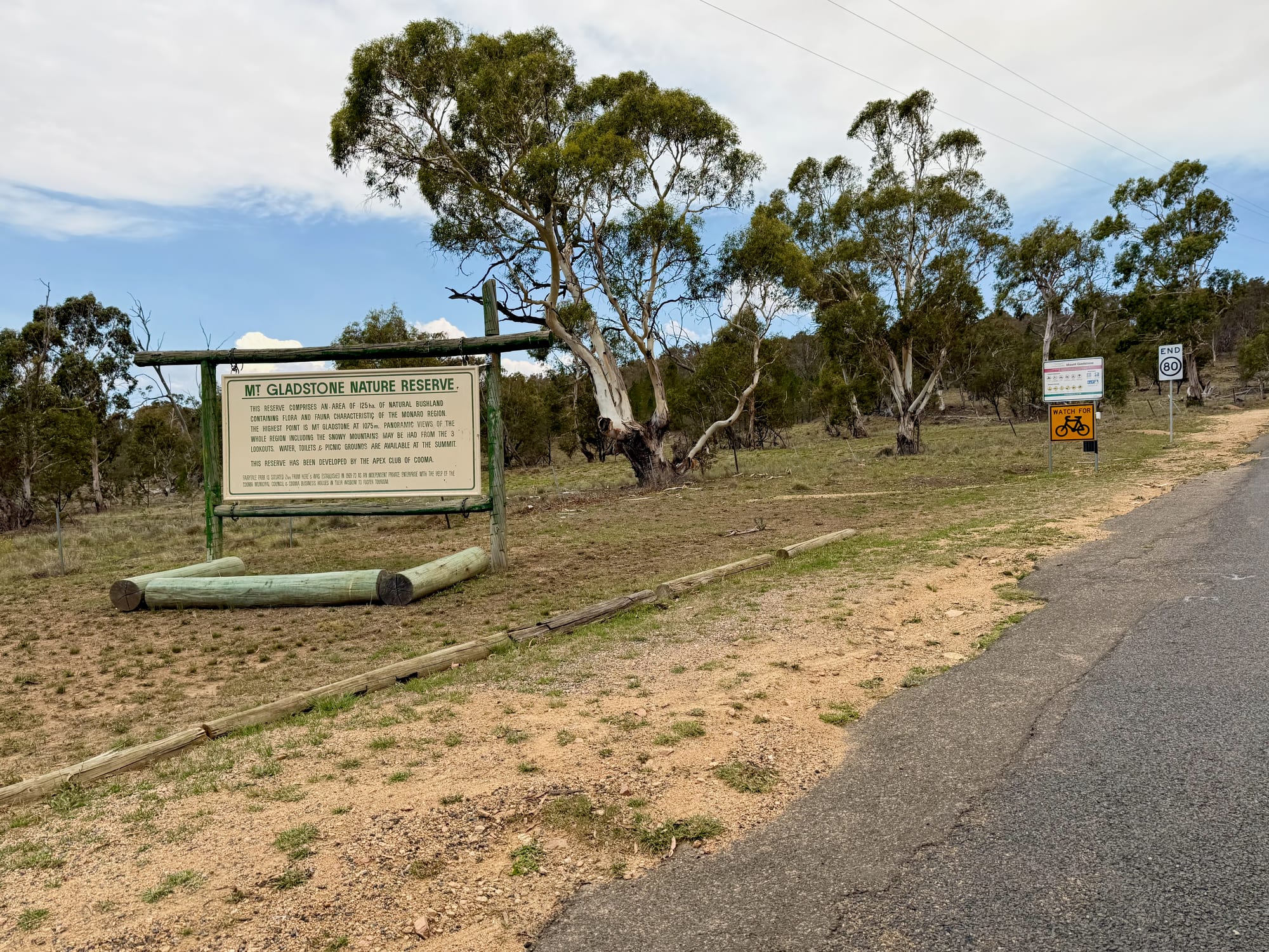
The lookout is in the Mt Gladstone Nature Reserve, 125 ha of bushland less than 4 km from the edge of Cooma, with plants and animals typical of the Monaro. The summit is about 1075 m high, according to the old board at the bottom of the road, which also tells you the reserve was developed by the Apex Club of Cooma. Today it has a sealed road to the top, a big car park, toilets, a picnic area and two viewing platforms, and it’s popular with walkers and mountain bikers. Entry is free.
Quick facts
- AddressMount Gladstone Lookout, Mount Gladstone Road, Cooma NSW 2630, AustraliaSee on the trip map →
- FacilitiesParkingToiletsPicnic TablesBBQWalking TrailsLookoutsViewing PlatformNo Drinking WaterNo CampingNo Campfires
- Good to knowSealed to the top2 lookouts200 m to the south lookout
- FeesFree
- 8.7/10Overall rated
Getting There
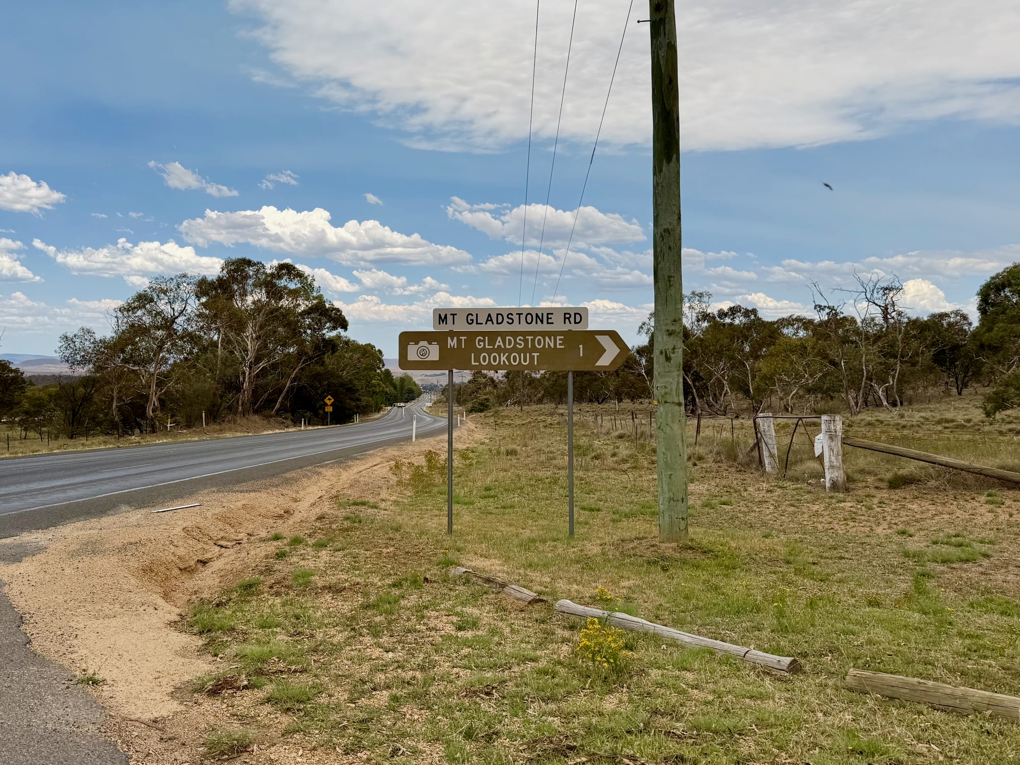
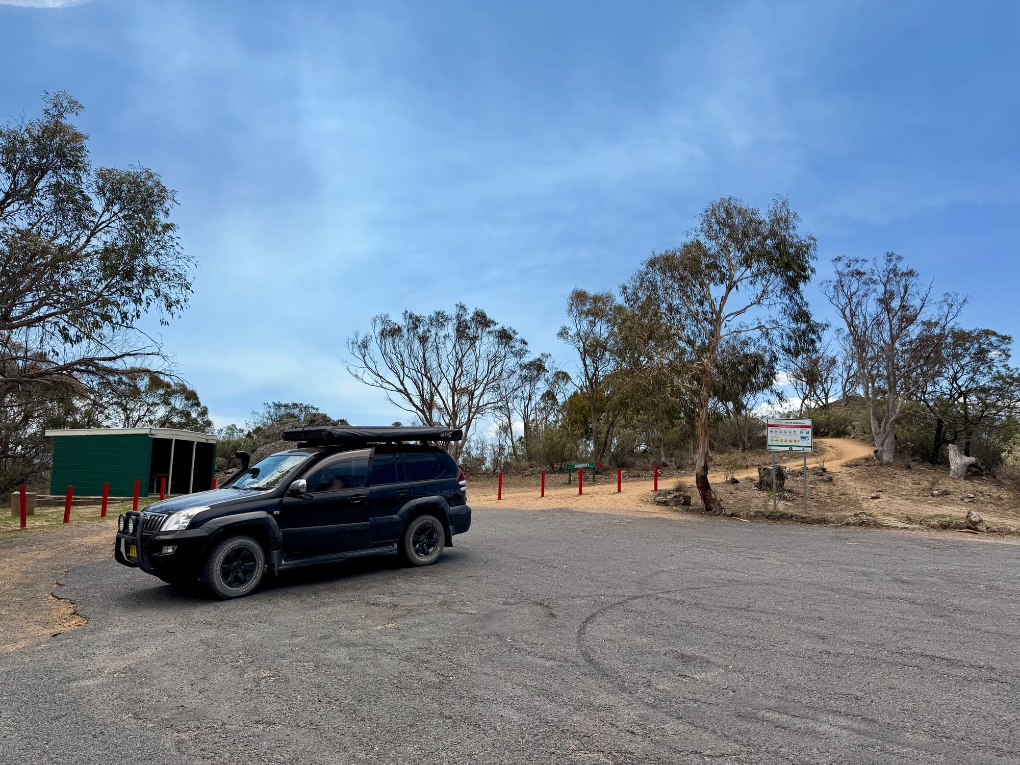
The turn-off is on the Snowy Mountains Highway at the western edge of Cooma, where a brown sign points up Mt Gladstone Road to the lookout, 1 km away. The road is sealed all the way and fairly narrow as it climbs through the gums, and a sign at the bottom warns to watch for cyclists. At the top there’s a big sealed car park ringed by red bollards, with room for caravans and coaches to turn around.
Two Lookouts Over the MonaroThe lookouts
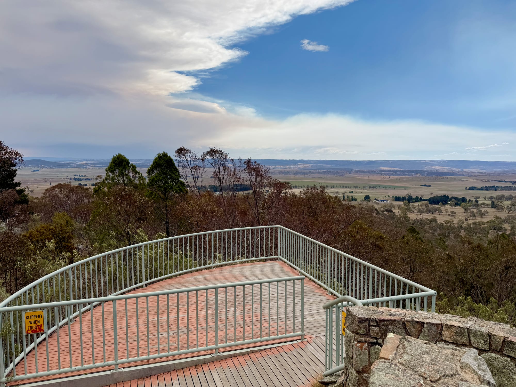
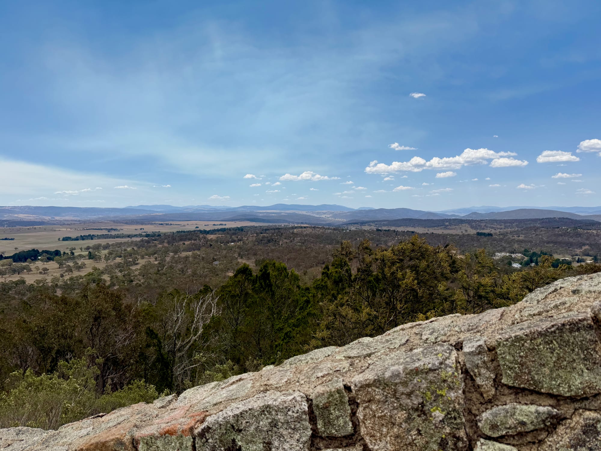
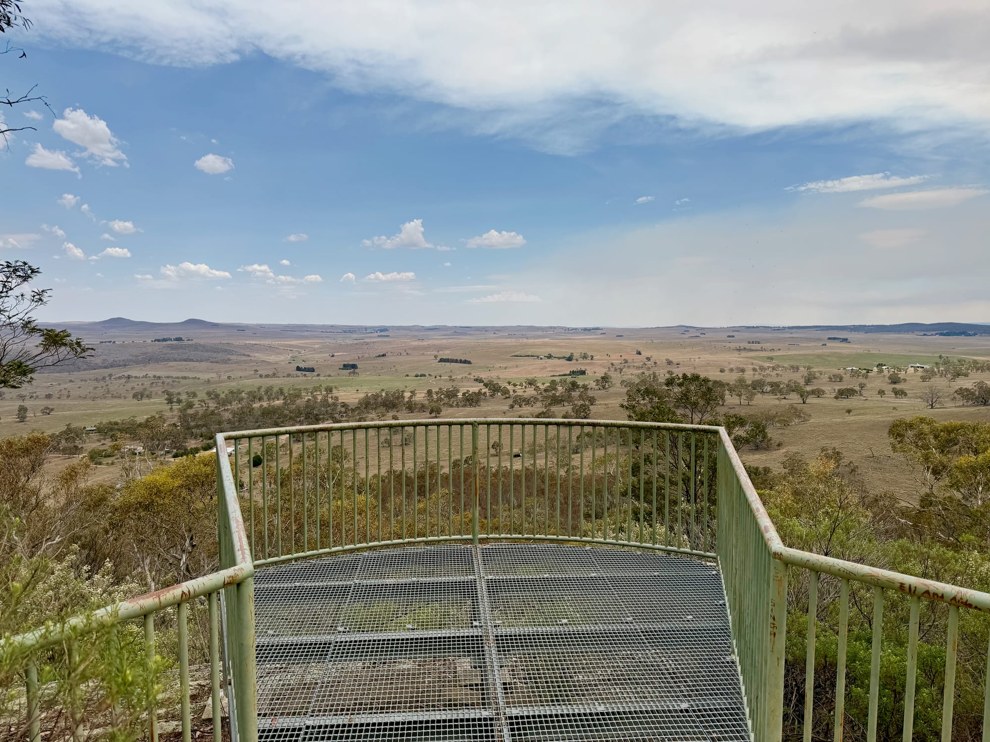
The main lookout is right by the car park: a curved stone wall with a railed timber deck jutting out over the trees, looking north-west over farmland and bush to the main range on the horizon. From there a short dirt track leads about 200 m through the gums to the southern lookout, a railed platform with a mesh floor that sticks out over the slope. From the southern platform you look out over the open, treeless Monaro plains and two old volcanic peaks known as The Brothers. On our visit there was smoke haze over the far ranges, but the plains below were clear and the view stretched for kilometres in every direction.
Facilities and Rules
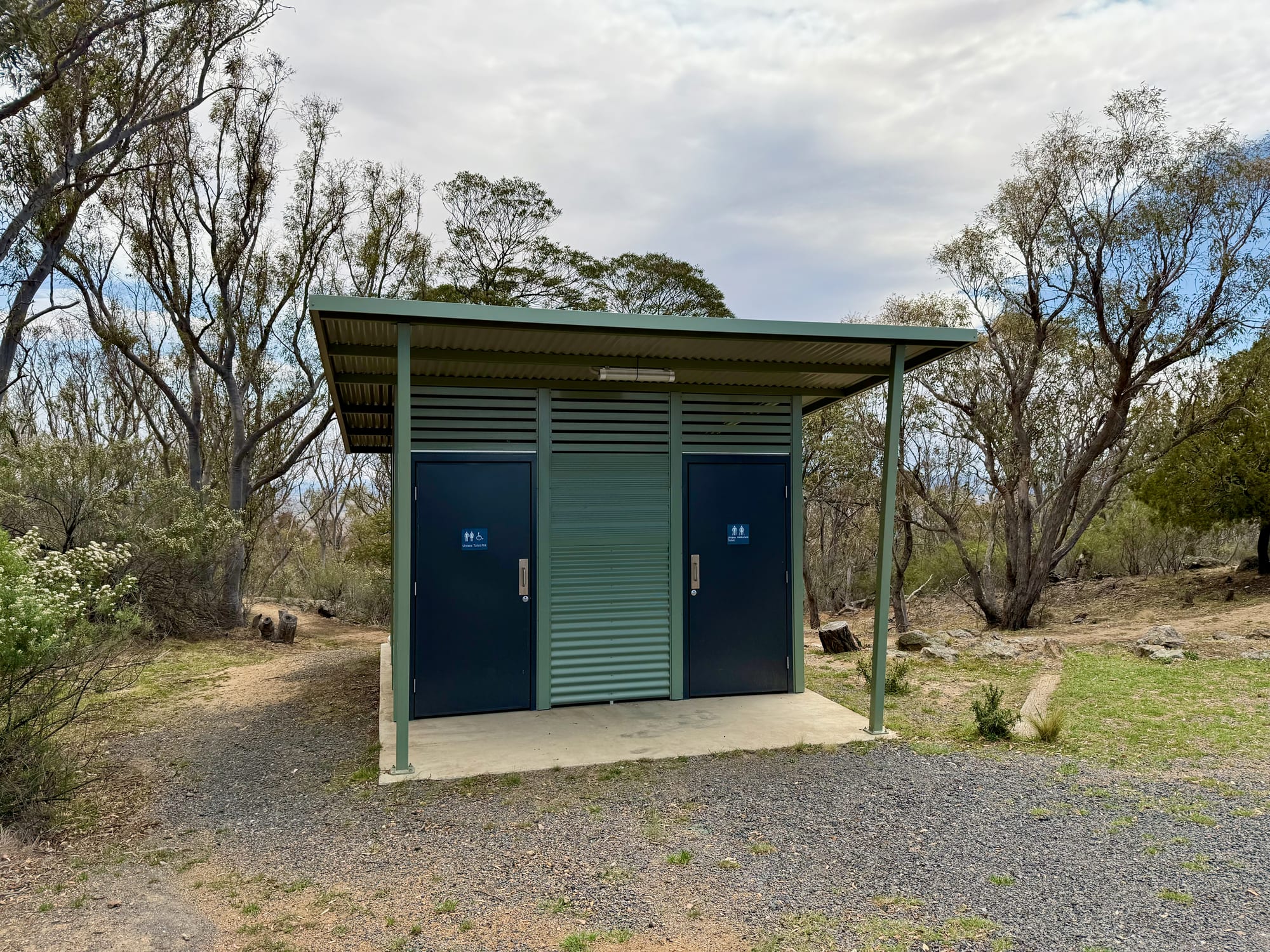
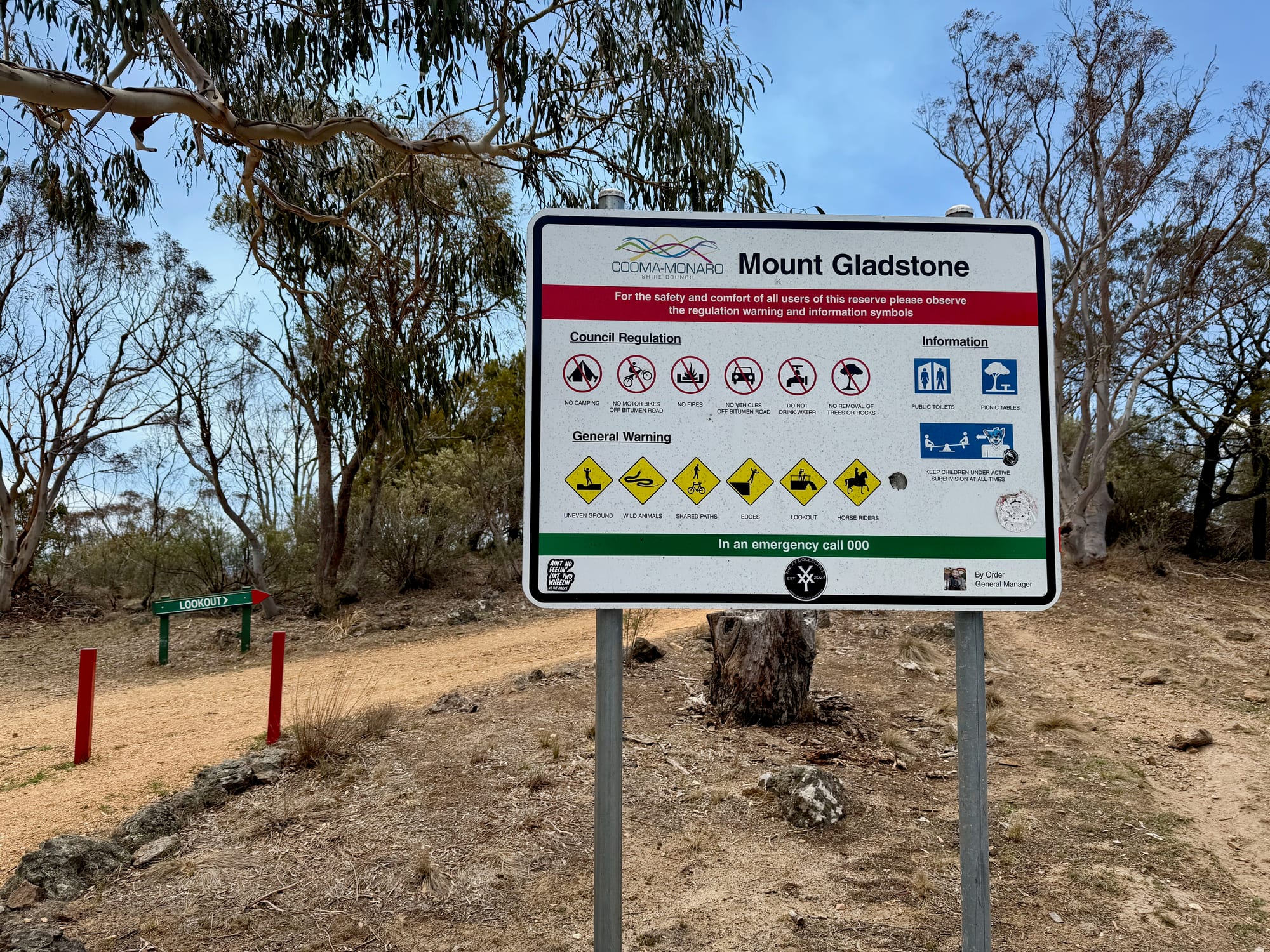
There’s a green toilet block by the car park, with accessible doors, and picnic tables and barbecues around the summit, making it an easy lunch stop. The old board at the bottom of the hill says water is available at the top, but the council sign at the summit says not to drink it, so bring your own. The same council sign bans camping and fires, keeps motorbikes and cars on the bitumen and warns of uneven ground and steep edges around the lookouts, so keep an eye on children. NSW lists the site as not suitable for people with access needs, as the tracks are rough dirt.
Things to Do NearbyThings to do
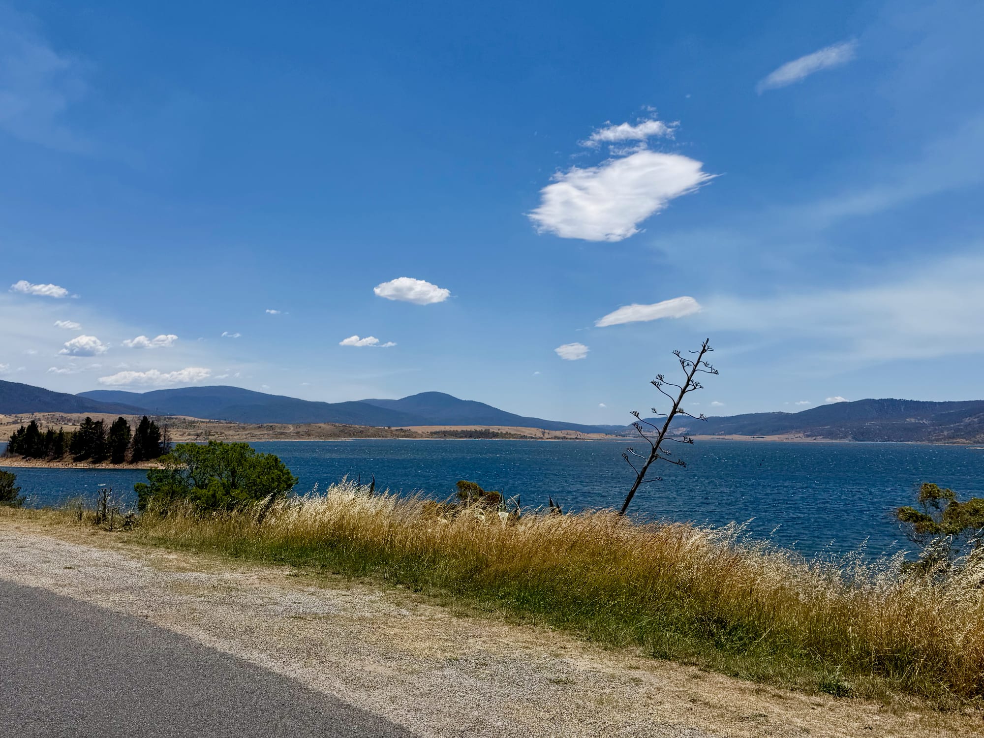
Cooma is just down the hill for fuel and supplies before the drive on. The Mt Gladstone trails are popular with mountain bikers, and the Cooma Visitors Centre has maps. Heading west, the Snowy Mountains Highway leads to Jindabyne and Lake Jindabyne, and on to the Alpine Way, Thredbo and the riverside campgrounds at Thredbo Diggings and Ngarigo.
Summary
Mount Gladstone Lookout is an easy, free stop on the edge of Cooma: a sealed road to the top, toilets and picnic tables, and two lookouts a short walk apart with wide views over the Monaro plains to the ranges. It’s a short stop rather than a destination, and the water at the top isn’t drinkable, so bring your own.
An easy, free view over the Monaro, just outside Cooma.
A sealed road climbs to a summit car park with toilets, a stone lookout with a railed deck, and a short track to a second platform over the plains. There’s no drinkable water at the top, so bring your own.
- Travellers
- Families
- Picnics
Yes. It’s free, it’s minutes from Cooma on a sealed road, and the platforms give you the whole Monaro in one look.
Recommended Gear for Mount Gladstone Lookout
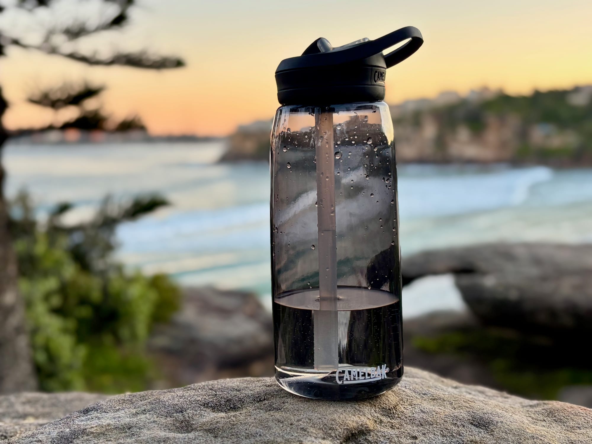
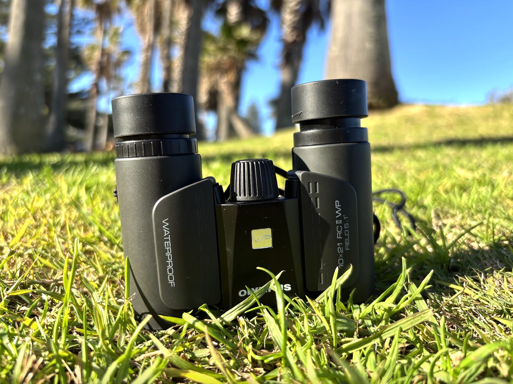
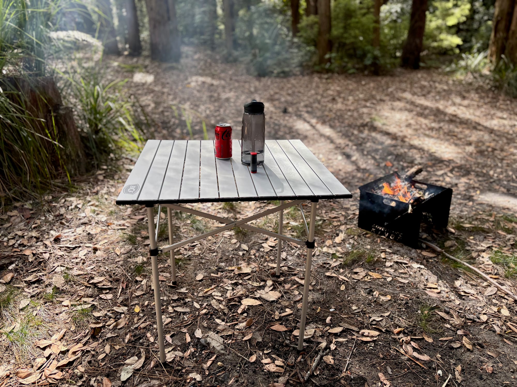
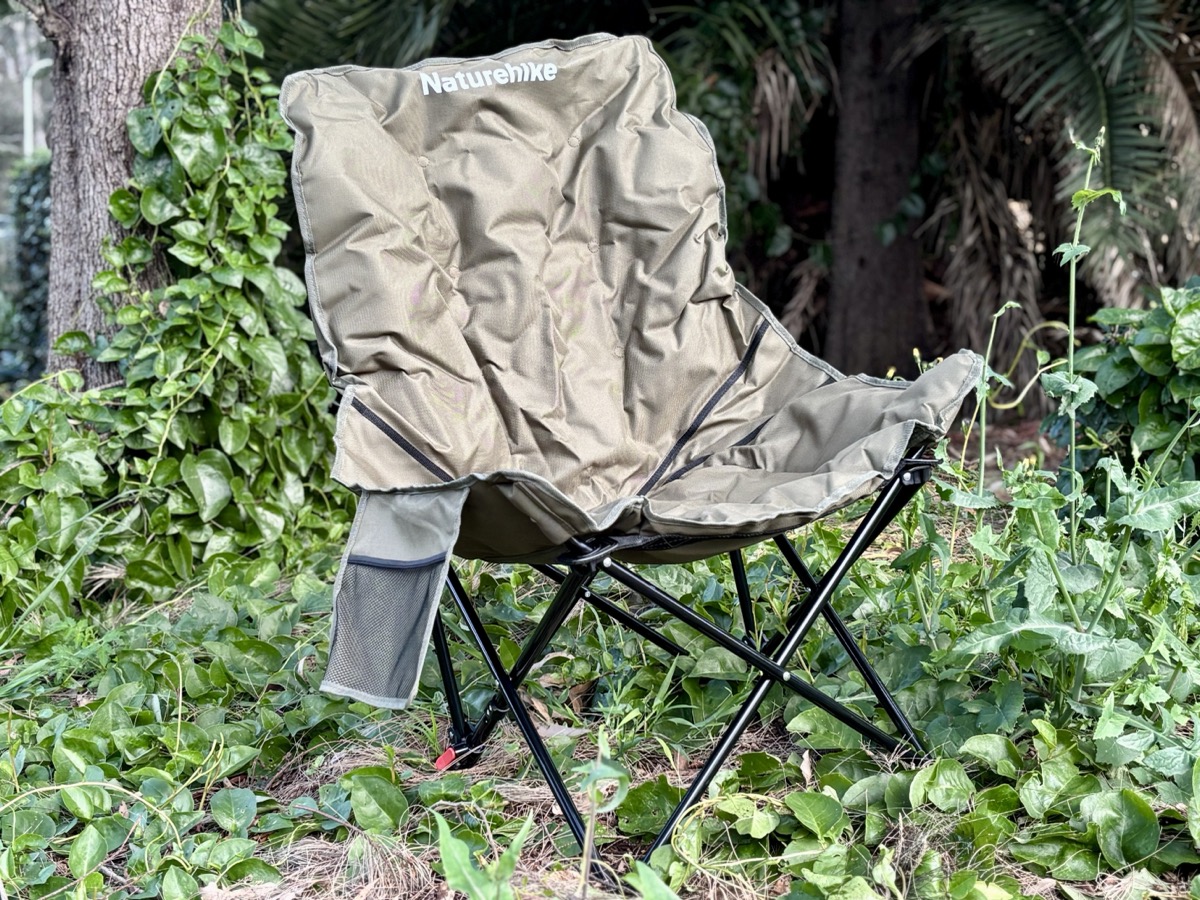
The water at the summit isn’t for drinking, so carry your own in a good water bottle. A pair of binoculars brings the far ranges closer, and if you’re stopping for lunch, a camping table and a pair of camping chairs make the most of the view.