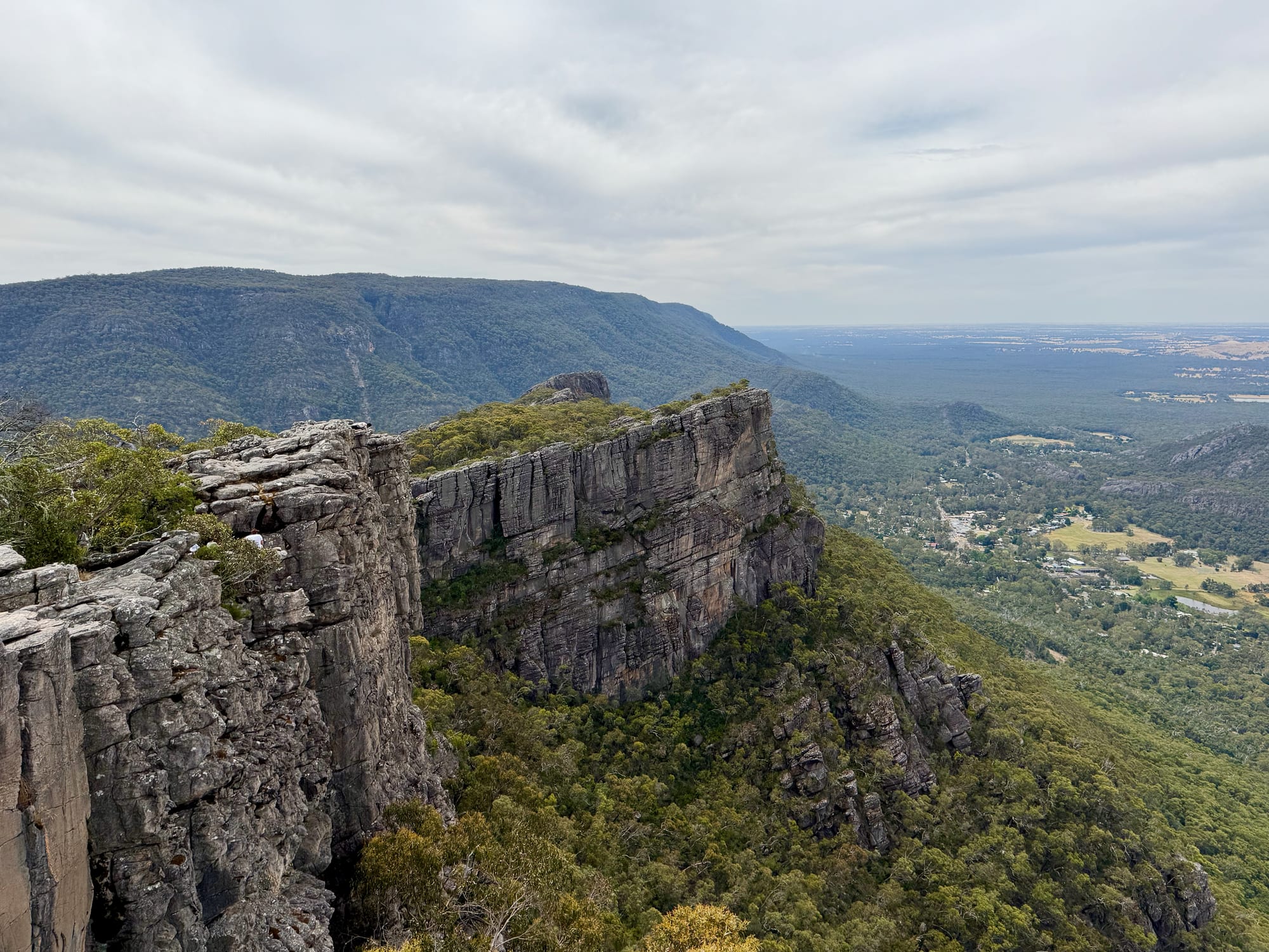
From the street in Halls Gap, the Pinnacle looks a long way up. From Sundial Carpark it isn’t: 2.1 km each way, over rock slabs and between sandstone outcrops, to one of the best views in the Grampians. We walked it on a grey summer afternoon, after a stop in Halls Gap and before our night at Jimmy Creek, and it took us about an hour and twenty minutes there and back, including ten minutes or so at the top.
About the PinnacleAbout
The Pinnacle is a rocky outcrop on the edge of the Wonderland Range, high above Halls Gap in Grampians (Gariwerd) National Park, with a fenced lookout at the end. There are several ways up. The walk from Sundial Carpark, via Devils Gap, is the easiest and the one Parks Victoria suggests for young children and less confident walkers. A harder route climbs from the Wonderland carpark through the Grand Canyon and Silent Street, and fit walkers can go all the way from Halls Gap, about five hours return.
Quick facts
- AddressSundial Carpark, Sundial Road, Grampians National Park VIC 3381, AustraliaSee on the trip map →
- FacilitiesParkingToiletsPicnic TablesWalking TrailsLookoutsViewing PlatformNo Drinking Water
- Good to know4.2 km return1.5–2 h returnSturdy shoes
- FeesFree
- 9.3/10Overall rated
Getting There
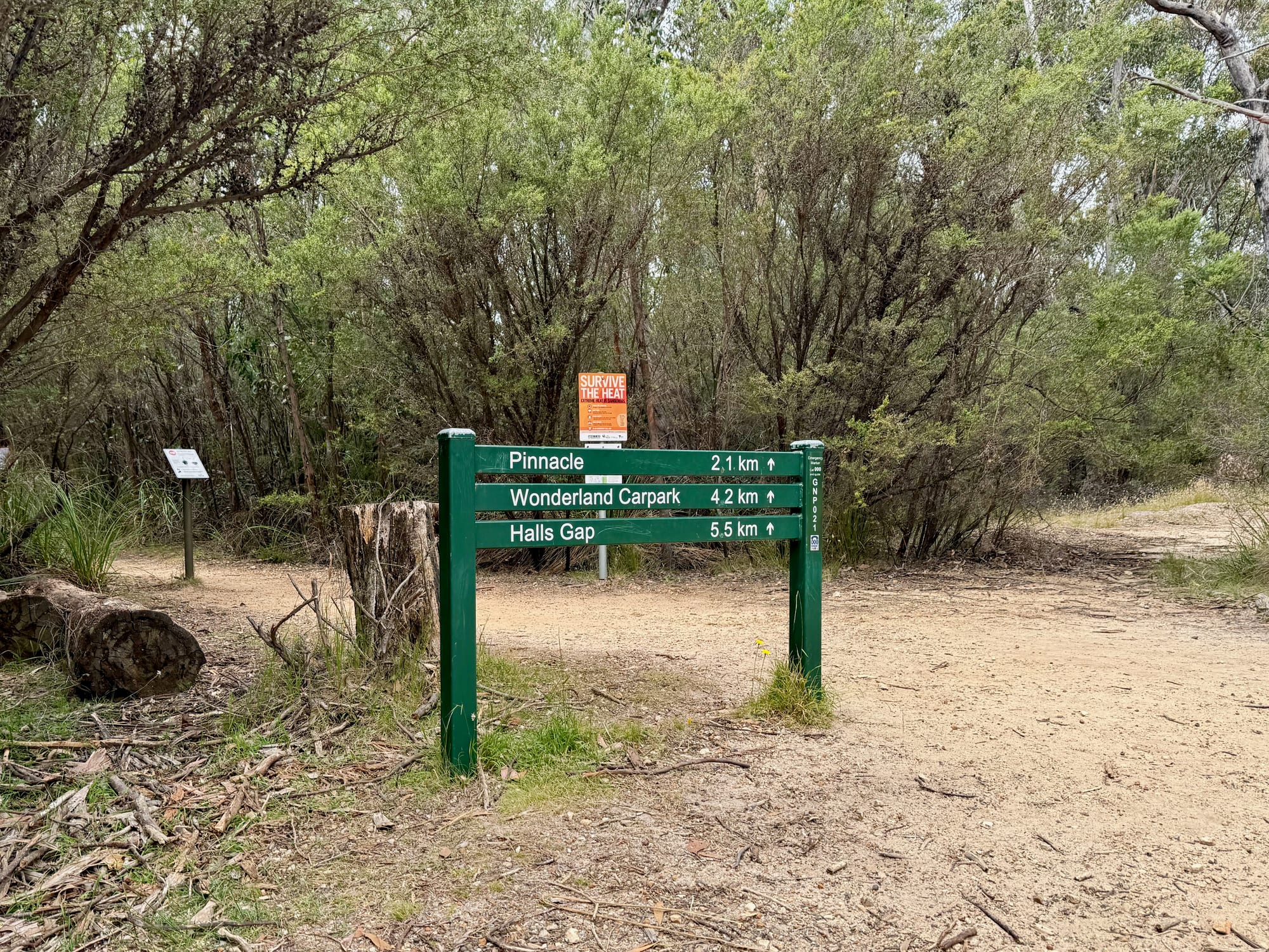
Sundial Carpark is a short drive up the sealed Sundial Road from Halls Gap, in the forest on top of the range. The track starts beside the welcome boards. A signpost at the start gives the Pinnacle as 2.1 km, the Wonderland Carpark 4.2 km and Halls Gap 5.5 km.
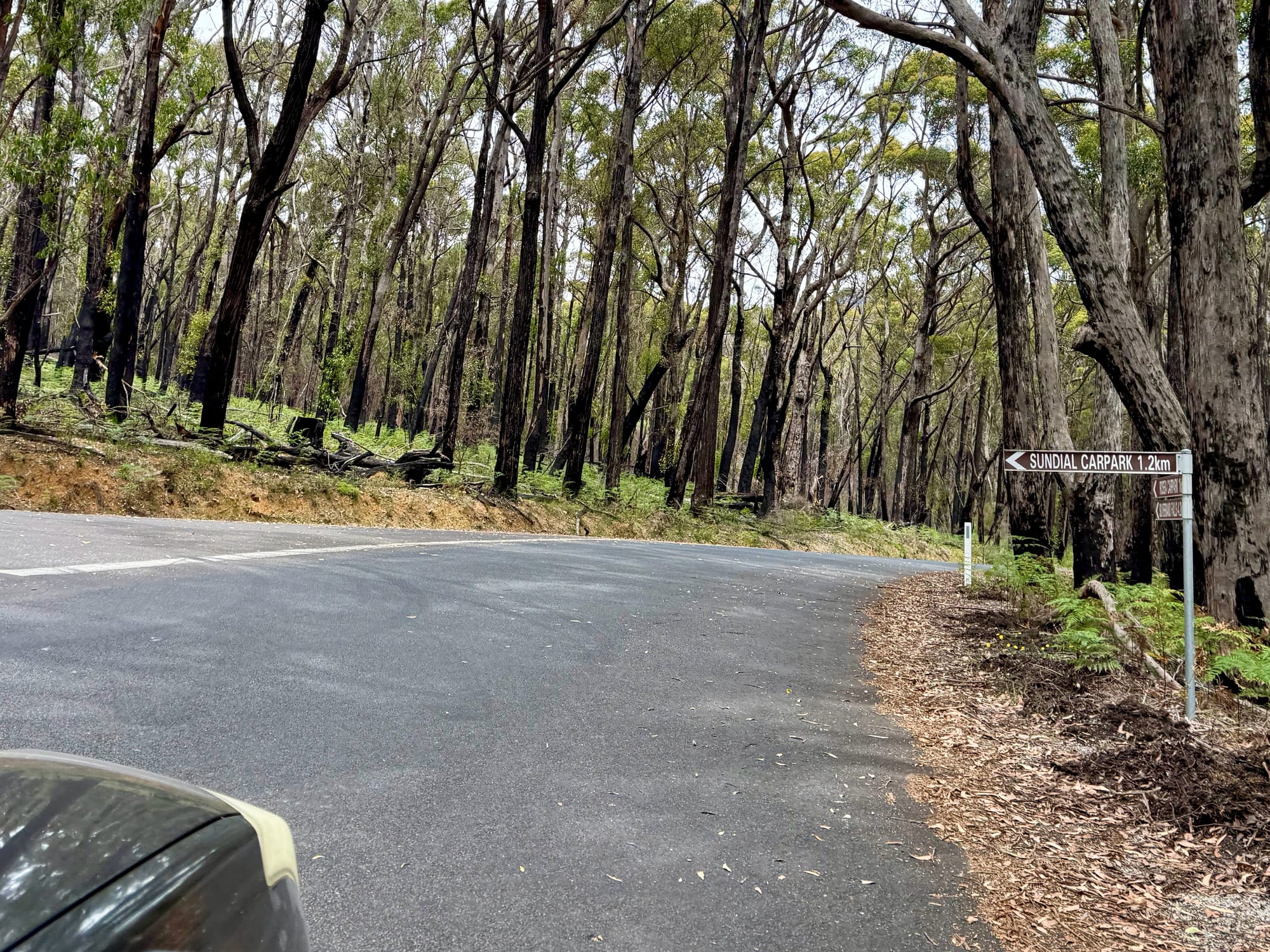
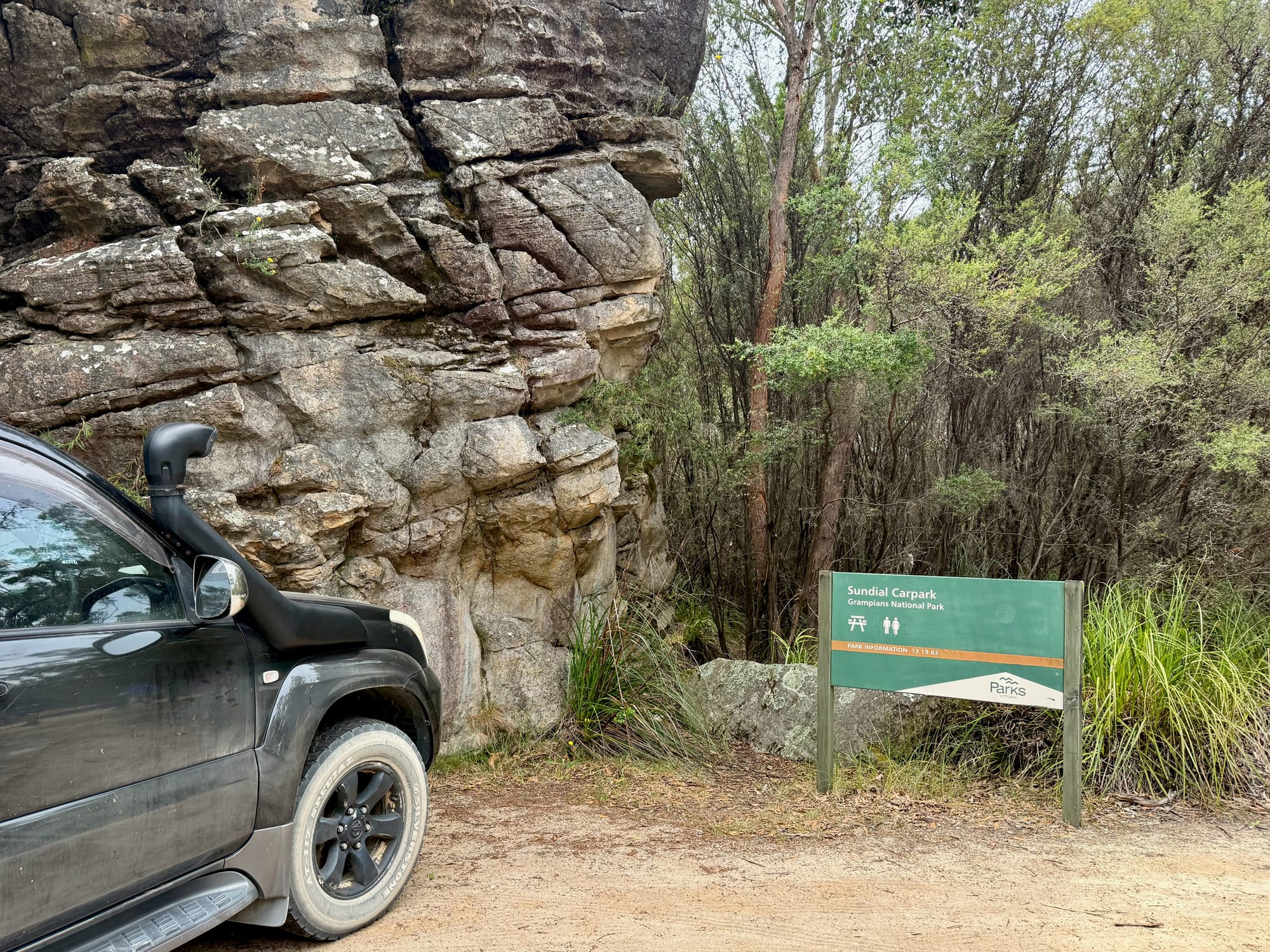
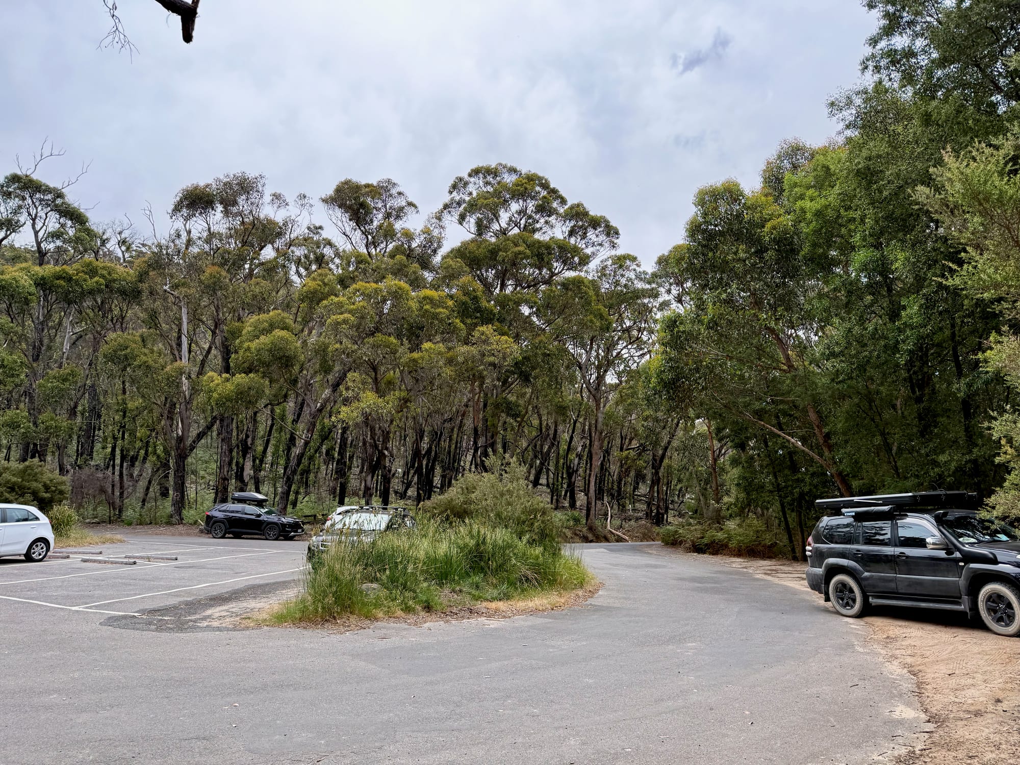
Sundial Carpark
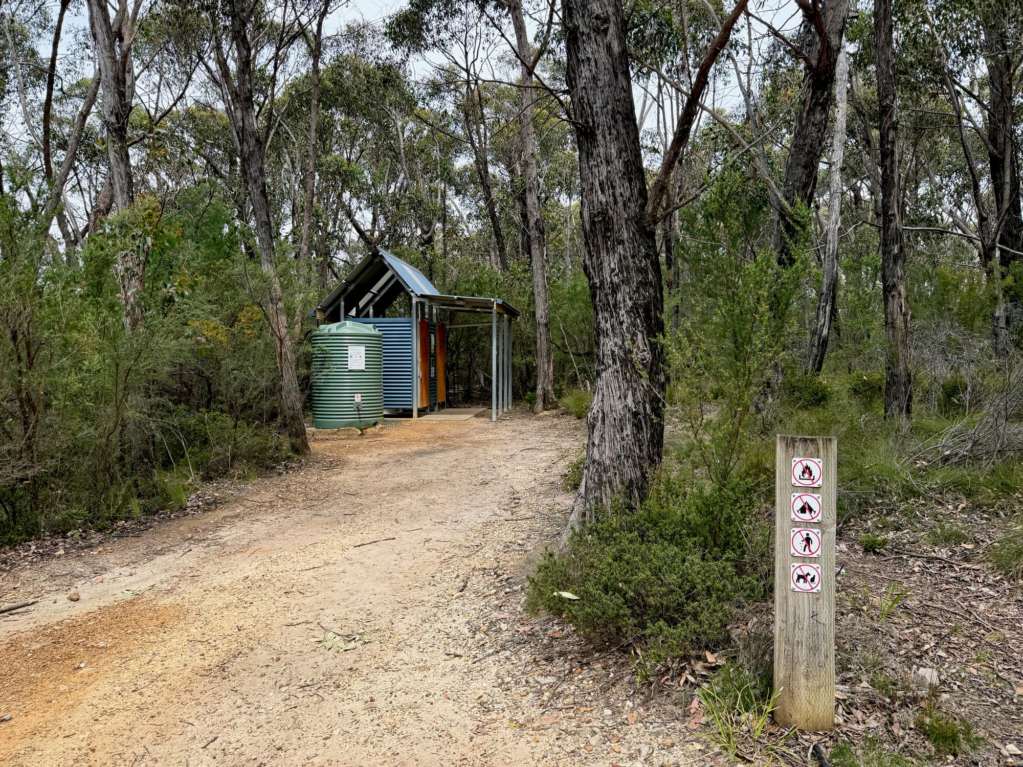
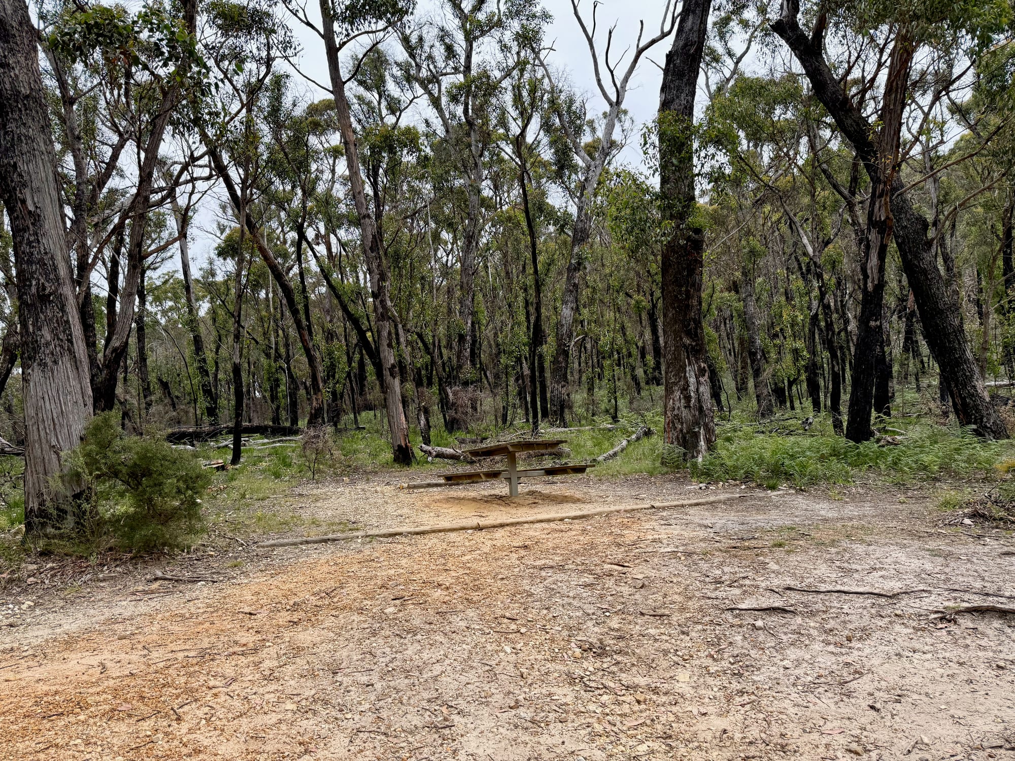
The carpark is a sealed loop with marked bays, set in tall forest on top of the range, with room for the Prado and the rooftop tent. A short gravel path leads up to a toilet with a water tank beside it, there’s a picnic table among the trees, and welcome boards at the trailhead show the walks from here.
Up Over the Sandstone SlabsThe walk up
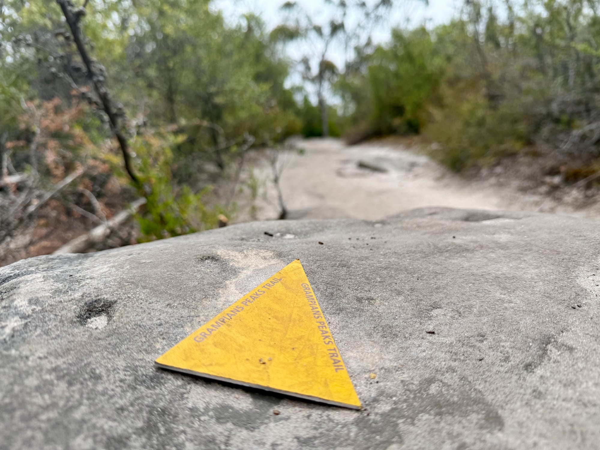
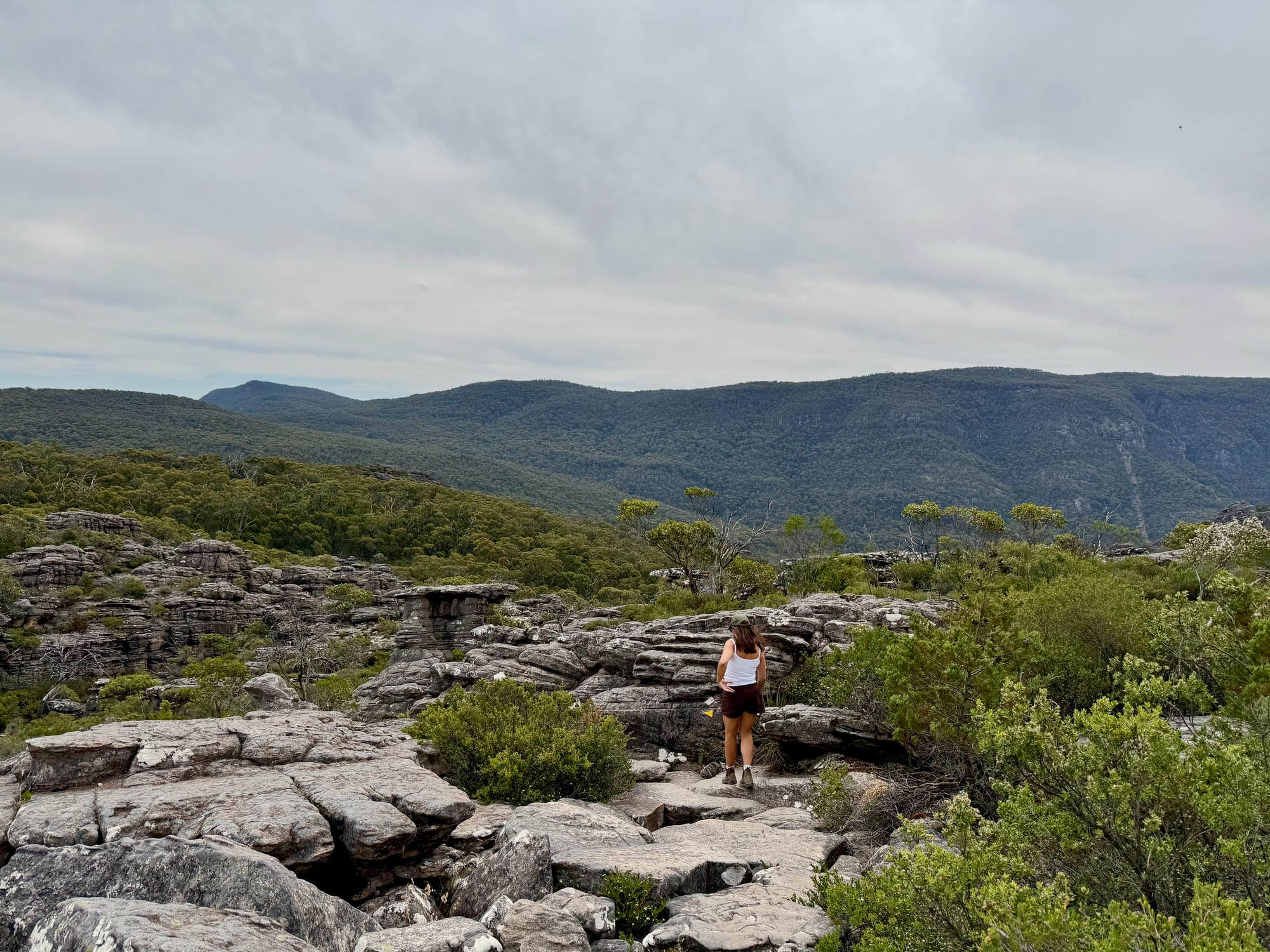
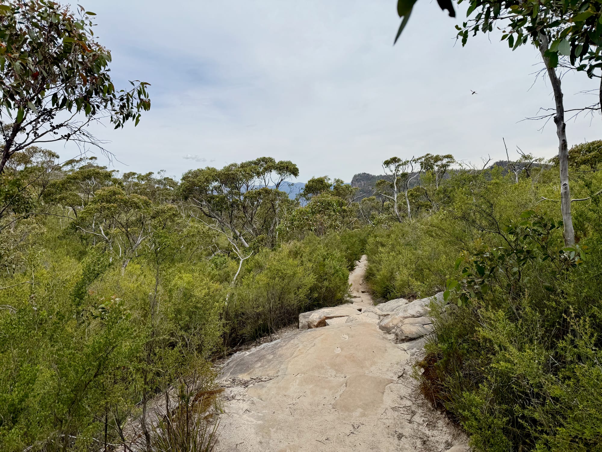
The track starts as a sandy path through low forest, then climbs onto open rock with views back over the ranges. Not far up, the bush opens out and you get your first look at Lake Bellfield to the south. Higher up, much of the track runs over broad, sloping slabs of sandstone, marked with yellow Grampians Peaks Trail triangles fixed to the rock, so it’s easy to follow. Parks Victoria mentions some water crossings and rock-hopping; it was dry when we went, but the rock is uneven, so wear sturdy shoes.
Among the Sandstone TowersSandstone towers
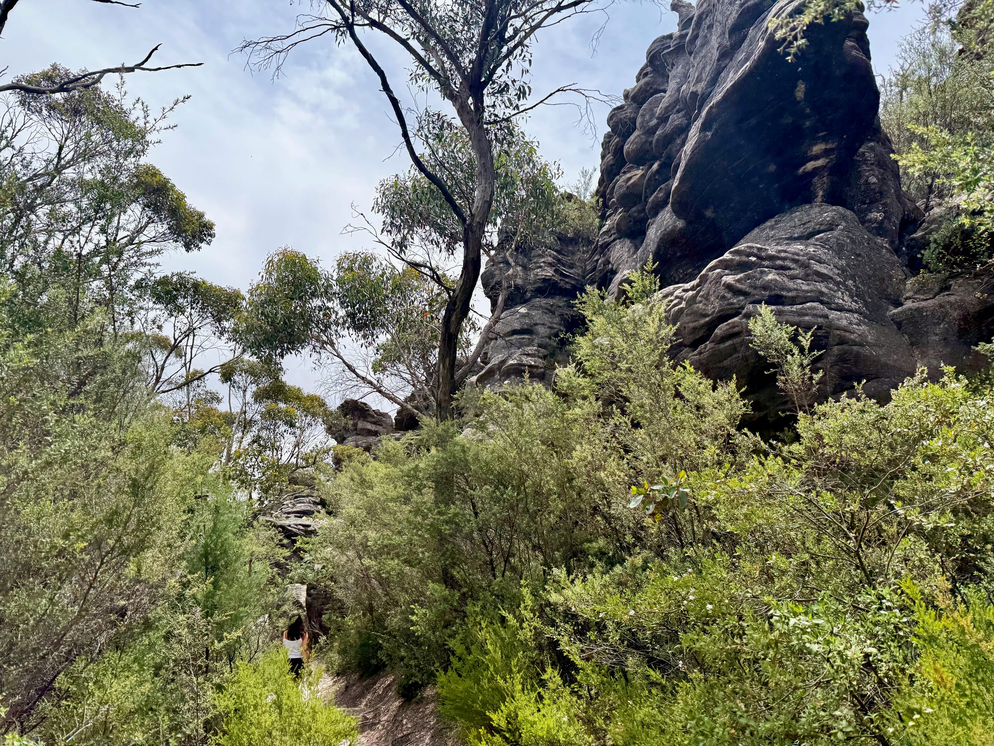
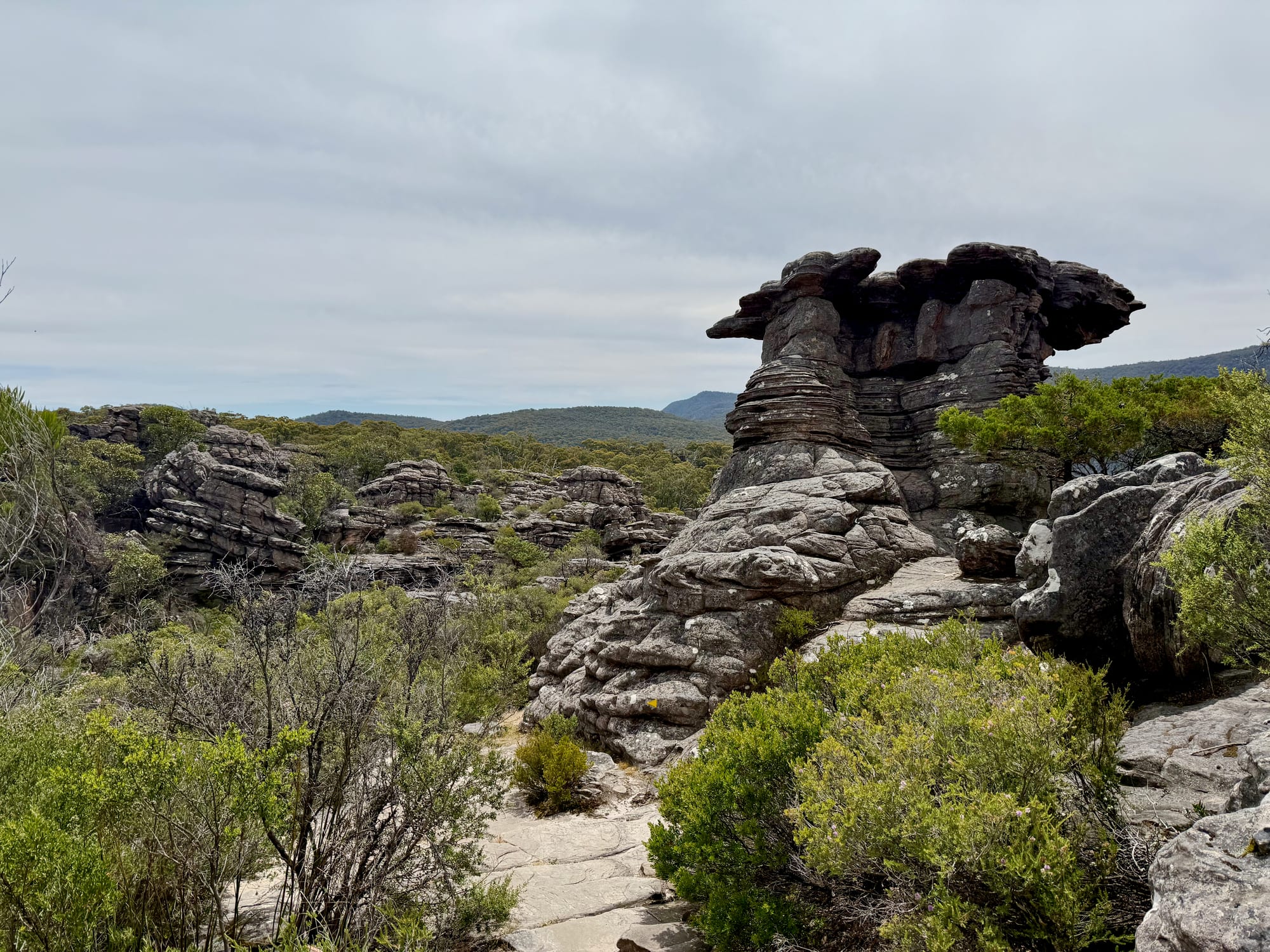
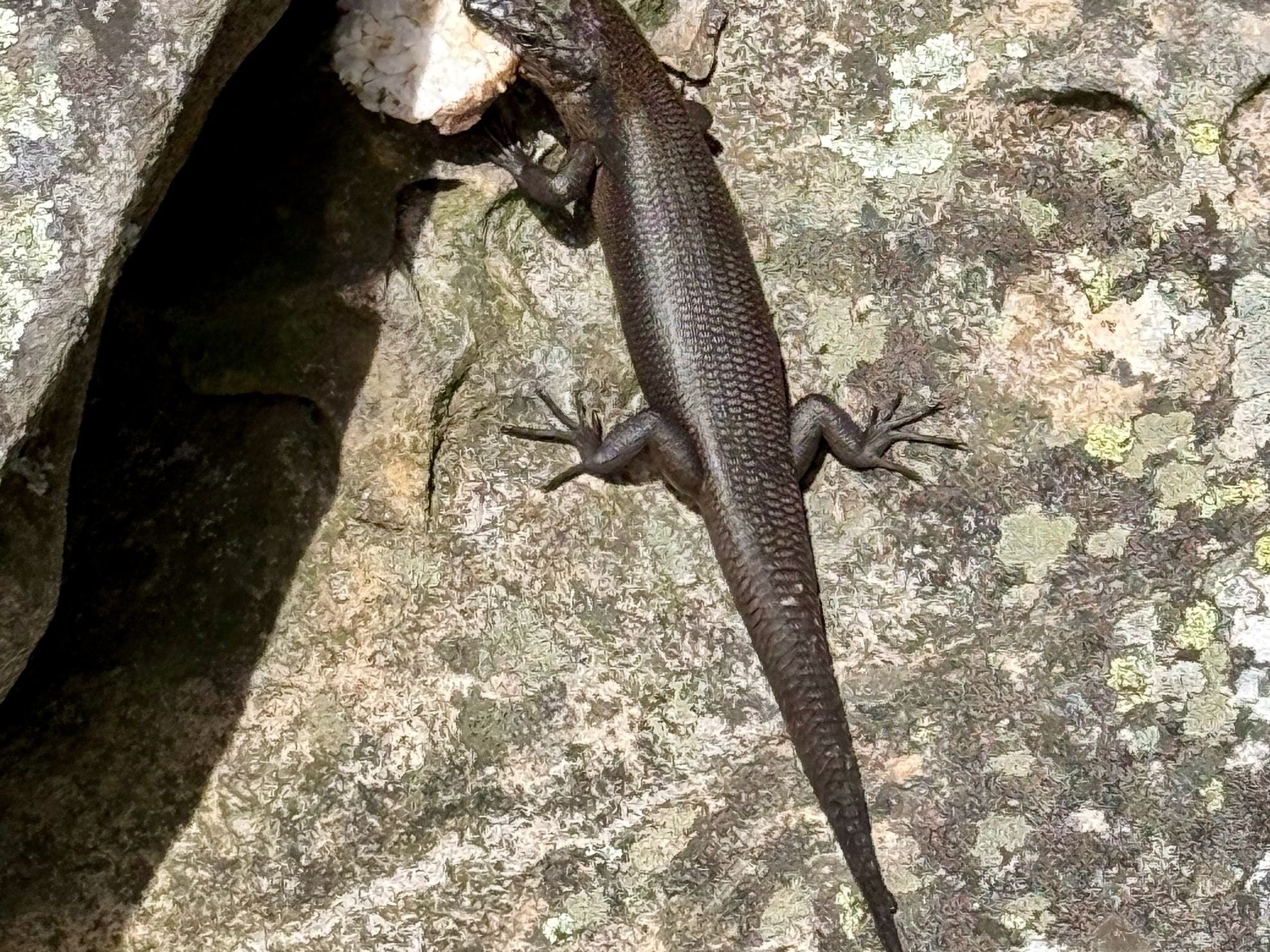
Near the top, the track winds between sandstone outcrops, towers and balanced rocks, the formations the Grampians are famous for. Keep an eye on the rocks, too: we spotted a skink on the rock beside the track. Parks Victoria says you may also see koalas, kangaroos, snakes and echidnas, and wildflowers in spring.
The View From the EdgeThe lookout
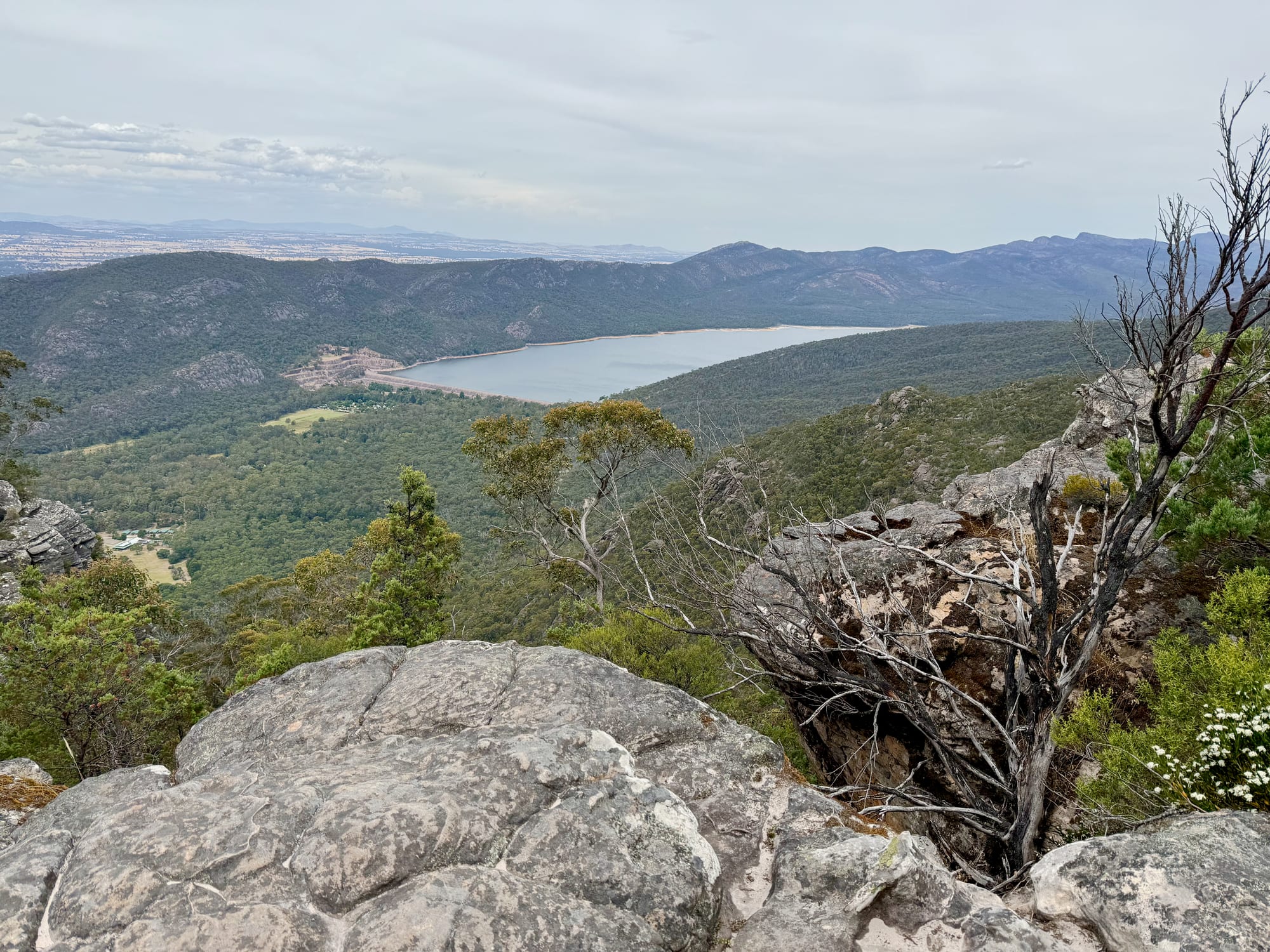
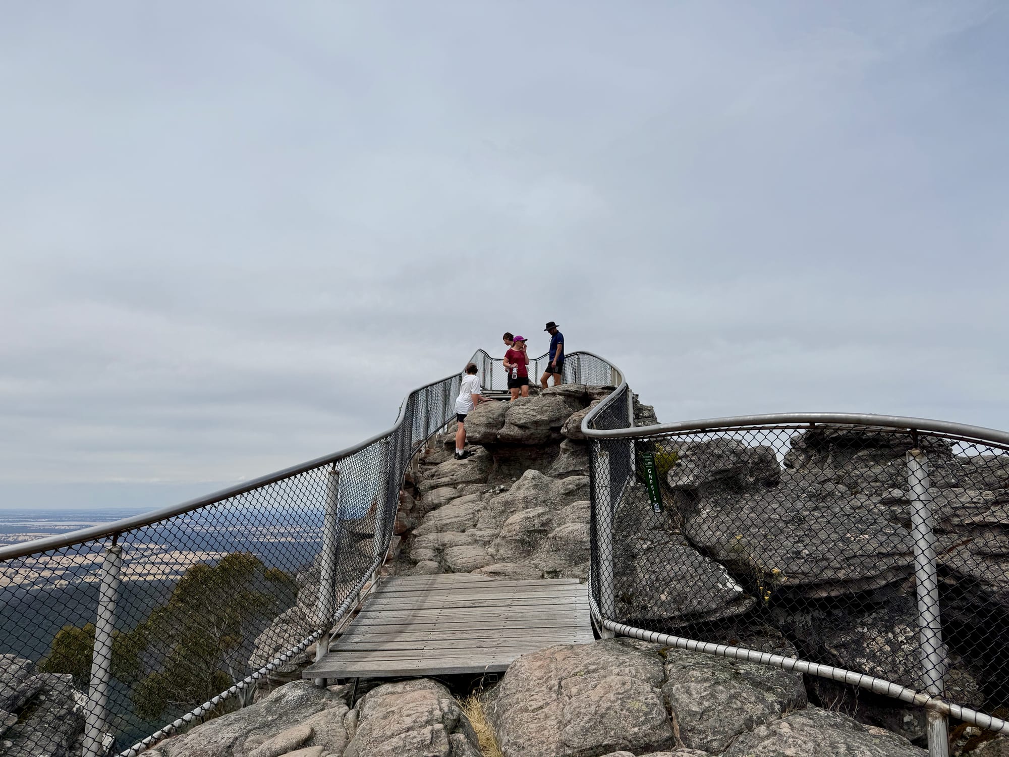
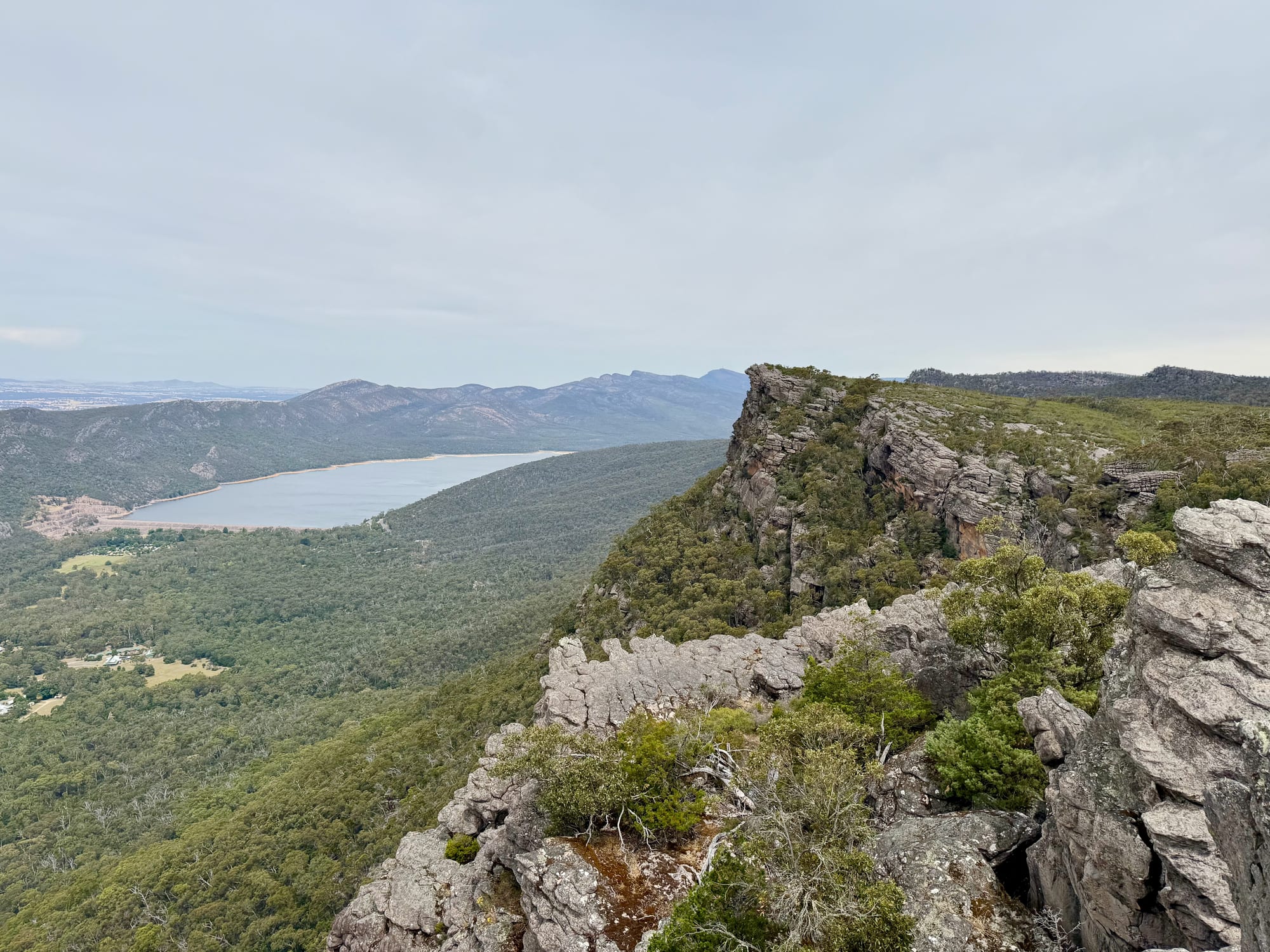
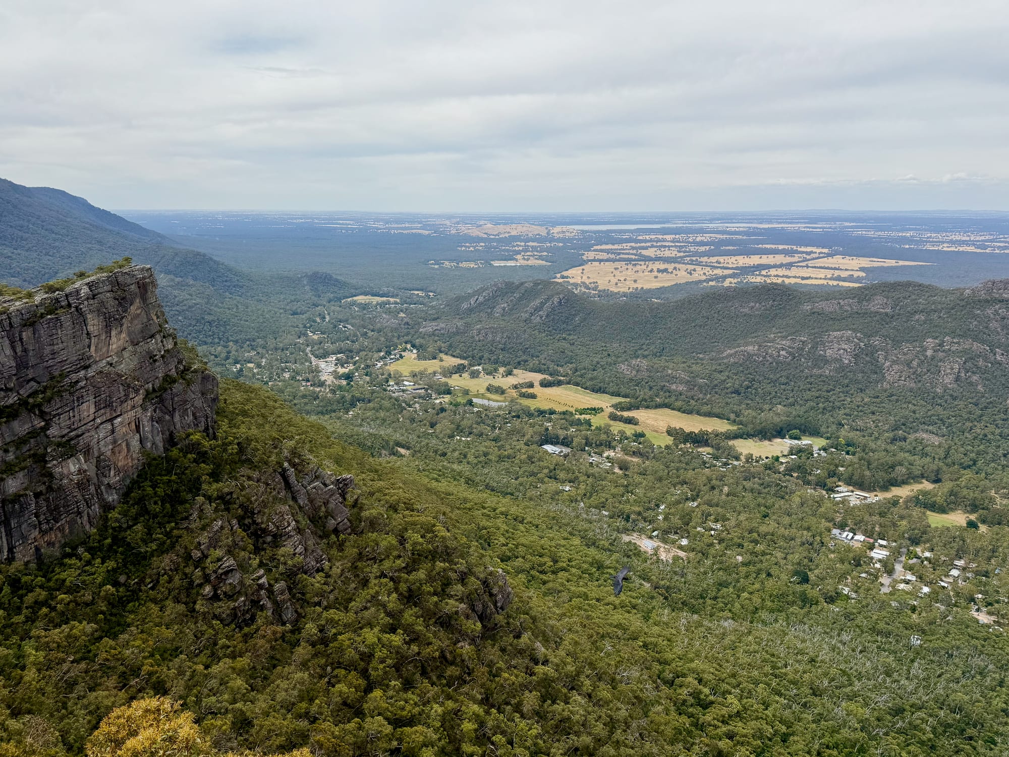
The lookout sits right on the edge, behind a fence and a short boardwalk over the rock. Halls Gap is far below in the valley, Lake Bellfield lies to the south, and the ranges and the flat farmland of western Victoria run off to the horizon. The cliffs of the Pinnacle drop straight down beside you. Even on a grey day it was one of the best views of our whole trip, and it’s worth staying a while.
Back Down the Same WayThe way down
You come back the way you went up. Downhill over the slabs is quicker: about half an hour for us, against roughly 45 minutes up. Take care on the sloping rock, especially if it’s wet.
Things to Do NearbyThings to do
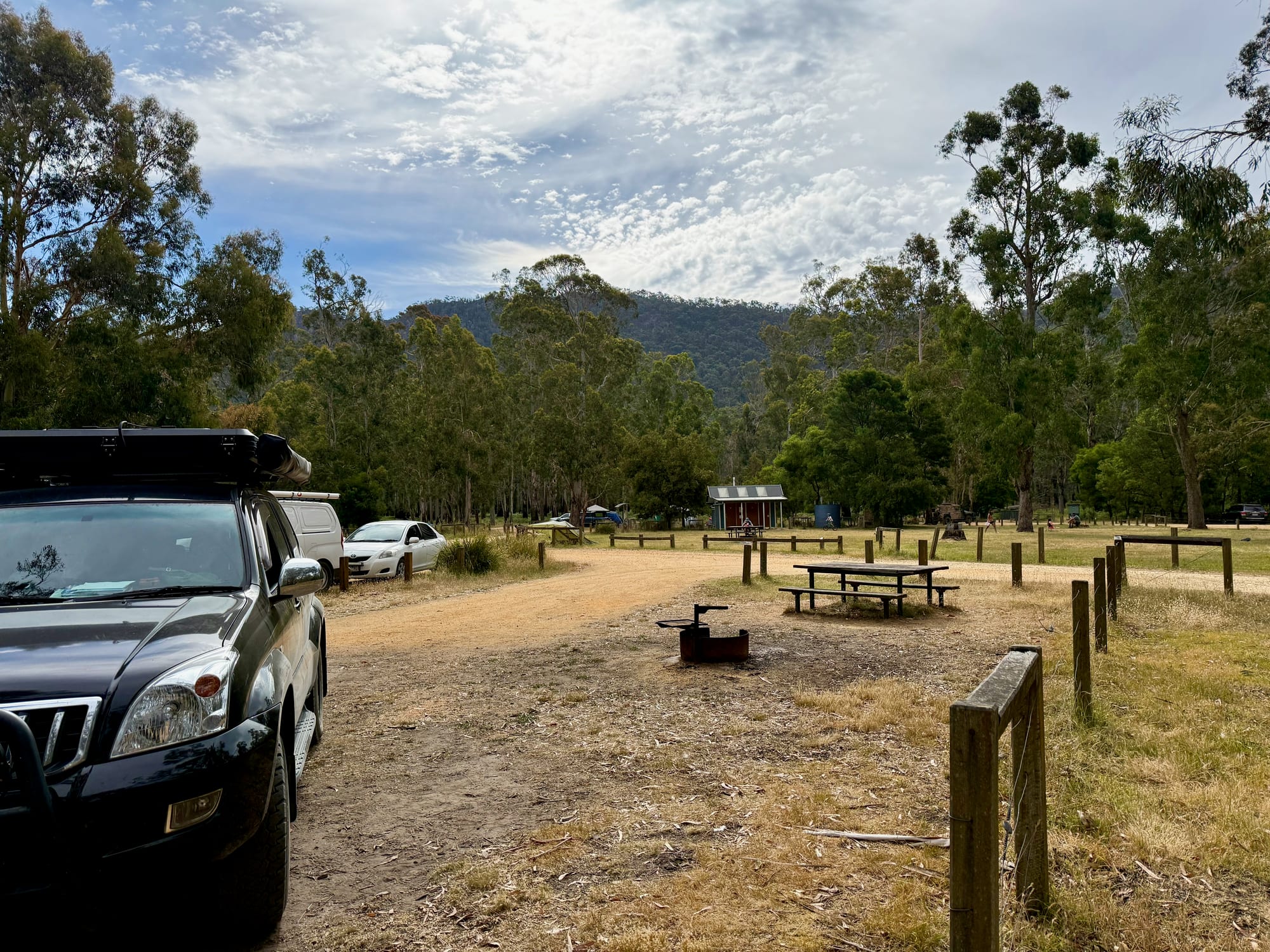
Halls Gap is at the bottom of the range, with cafes, shops and the visitor centre. Lake Bellfield, which you see from the top, is a few minutes south of town and a nice place to stretch your legs, and the forest camp at Jimmy Creek is further south on Grampians Road.
Summary
The Pinnacle walk from Sundial Carpark is the easy way to one of the best views in the Grampians: 4.2 km return over sandstone slabs, past rock towers, to a fenced lookout above Halls Gap and Lake Bellfield. It took us about an hour and twenty minutes there and back. Wear sturdy shoes, bring water, and give yourself time at the top.
The best view in the Grampians for a short walk.
From Sundial Carpark it’s 2.1 km each way over rock slabs and through sandstone outcrops to a fenced lookout high above Halls Gap and Lake Bellfield. It took us about an hour and twenty minutes there and back, including time at the top.
- Hikers
- Families
- Travellers
Yes. It’s free, it’s the easiest way up, and the view over Halls Gap and Lake Bellfield is one of the best in the park.
Recommended Gear for the Pinnacle Walk
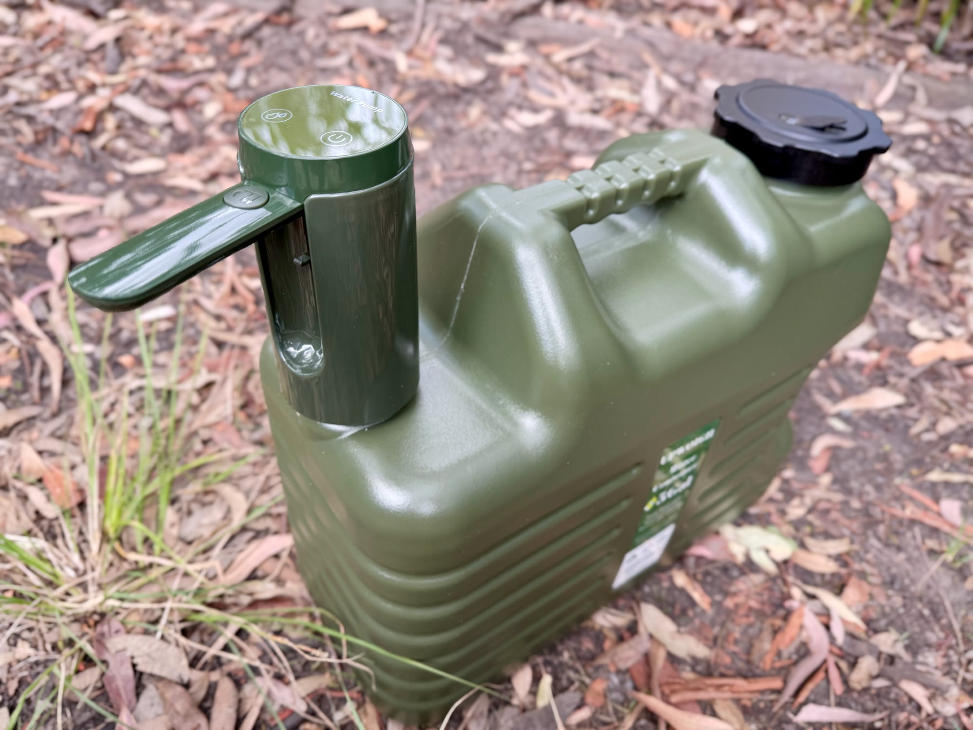
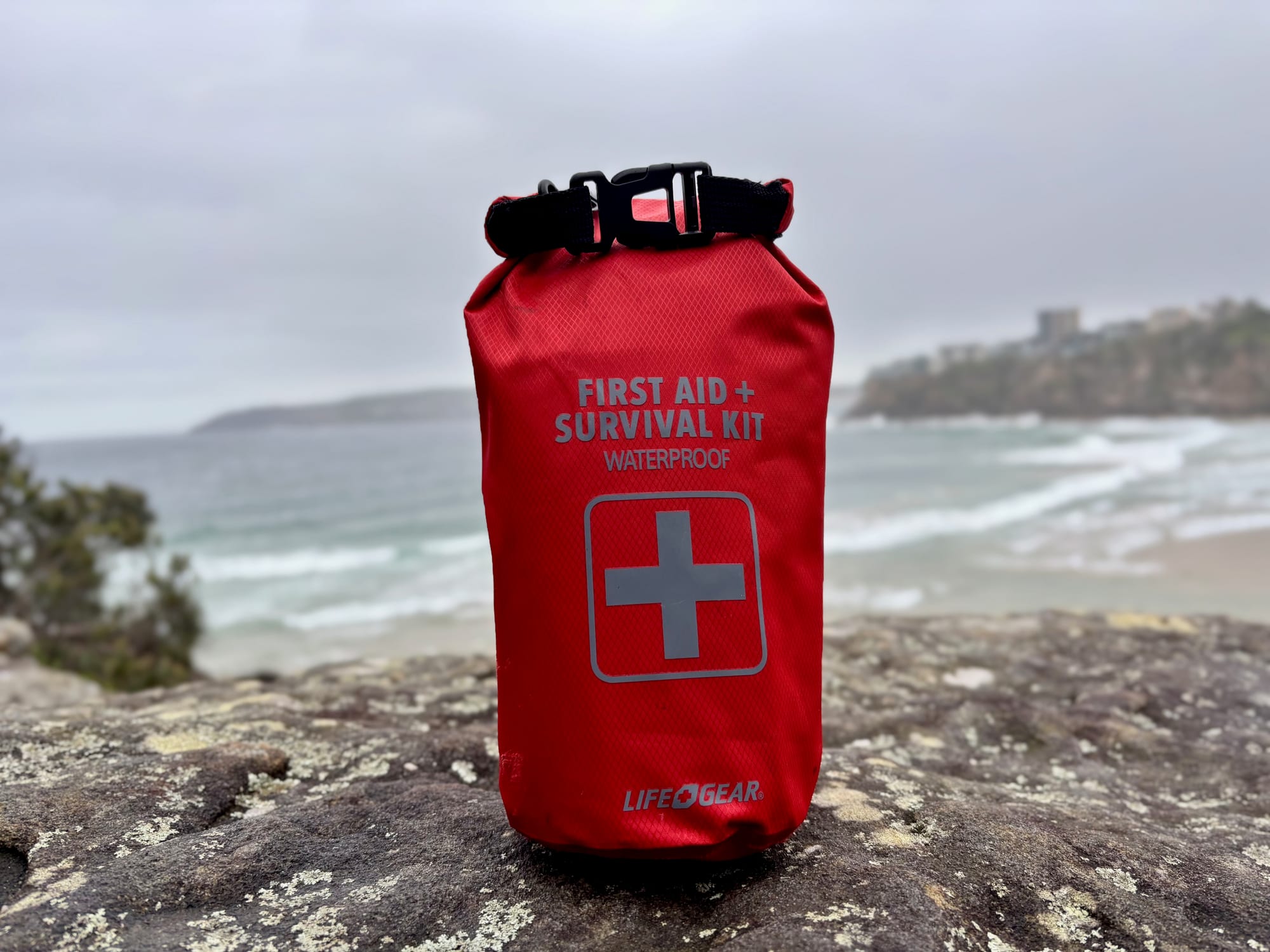
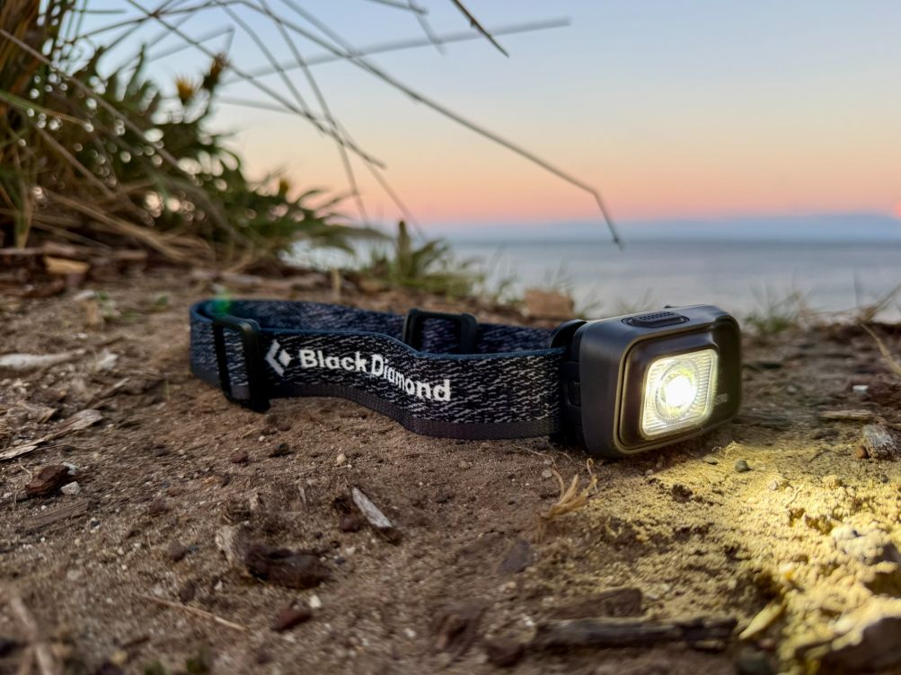
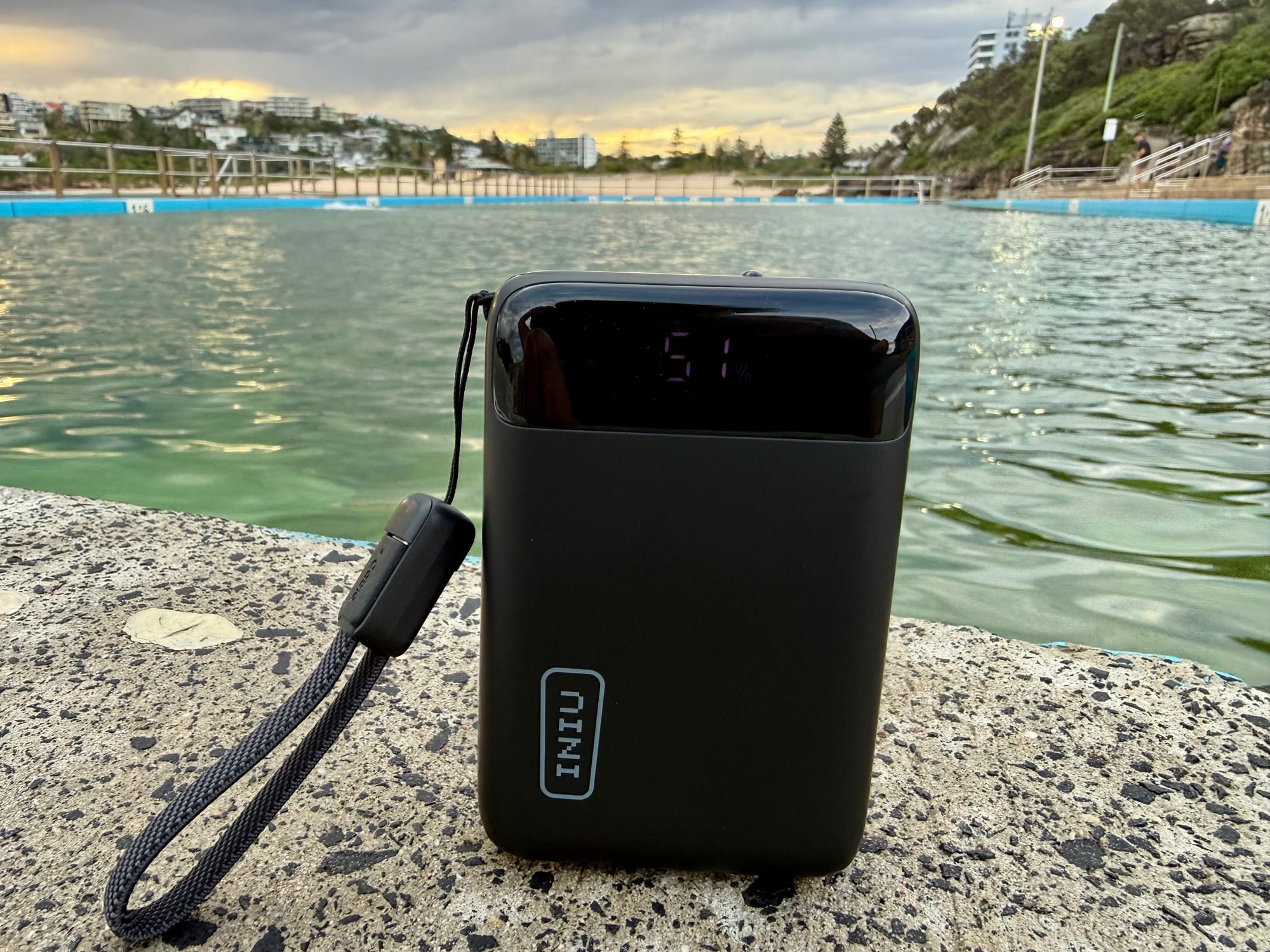
There’s no water at the carpark, so fill your bottles from the water containers in the car before you go. A compact kit like the Trailhead first aid survival kit fits in a day pack for scrapes on the rock, and a headlamp like the Black Diamond Astro 300 helps if you head up for sunset. A power bank keeps your phone charged for photos at the top.