The Victorian High Country is where Victoria turns into mountains: deep, forested valleys, rivers with rock pools, leafy towns at the foot of the Alps and bare ridges above the treeline. We crossed it in three days in early January, on our way from Melbourne to the Snowy Mountains, and this guide follows our route, with every place we stopped, our scores and a link to the full write-up of each. It covers the parts we saw, from the Black Spur to Omeo, and it will grow as we see more.
About the Victorian High CountryAbout
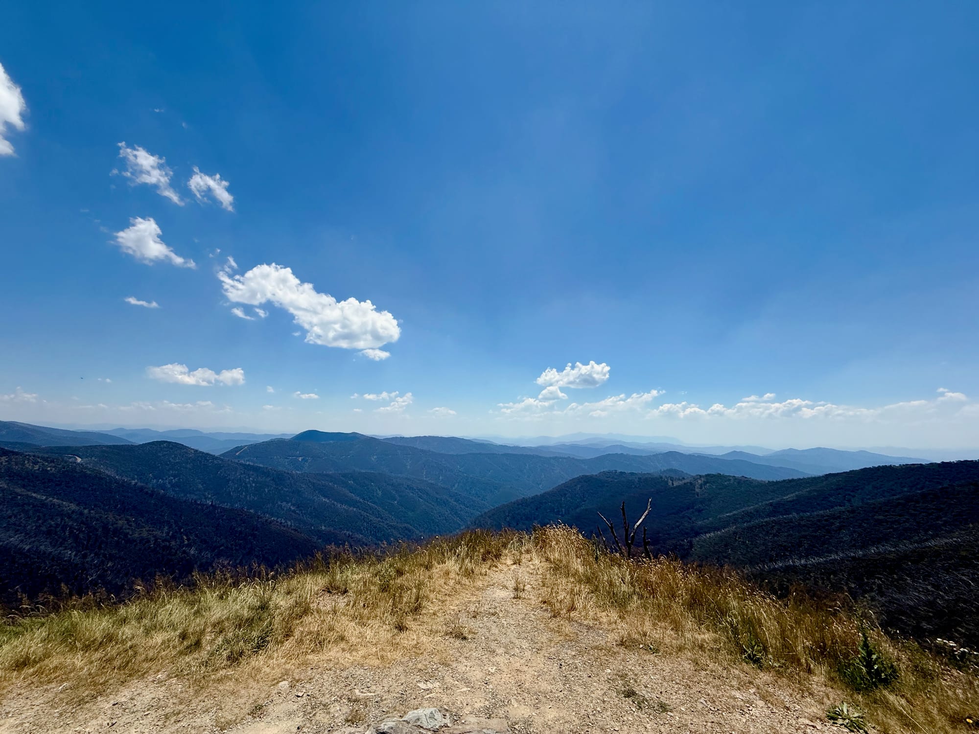
The High Country is the mountainous north-east of Victoria, the Victorian side of the Australian Alps. It runs from Mansfield and the King Valley across to Bright, Mt Hotham and Omeo, and up to the Upper Murray on the NSW border. Much of it is Alpine National Park, with Mt Buffalo National Park near Bright, and in between are old gold towns, wine and hop country and a web of back roads. The Great Alpine Road is the backbone, from Wangaratta through Bright and over Mt Hotham to Omeo and on to Bairnsdale.
Getting There and AccessibilityGetting there
We drove up from Melbourne on the Maroondah Highway, over the Black Spur to our first camp at Cooks Mill, then through Mansfield the next day. Bright is about four hours from Melbourne on sealed roads, through Wangaratta on the Hume Freeway and the Great Alpine Road.
Most hire companies don’t allow unsealed roads in a standard car, so check the terms or book a 4WD. We may earn a commission if you book through these links.
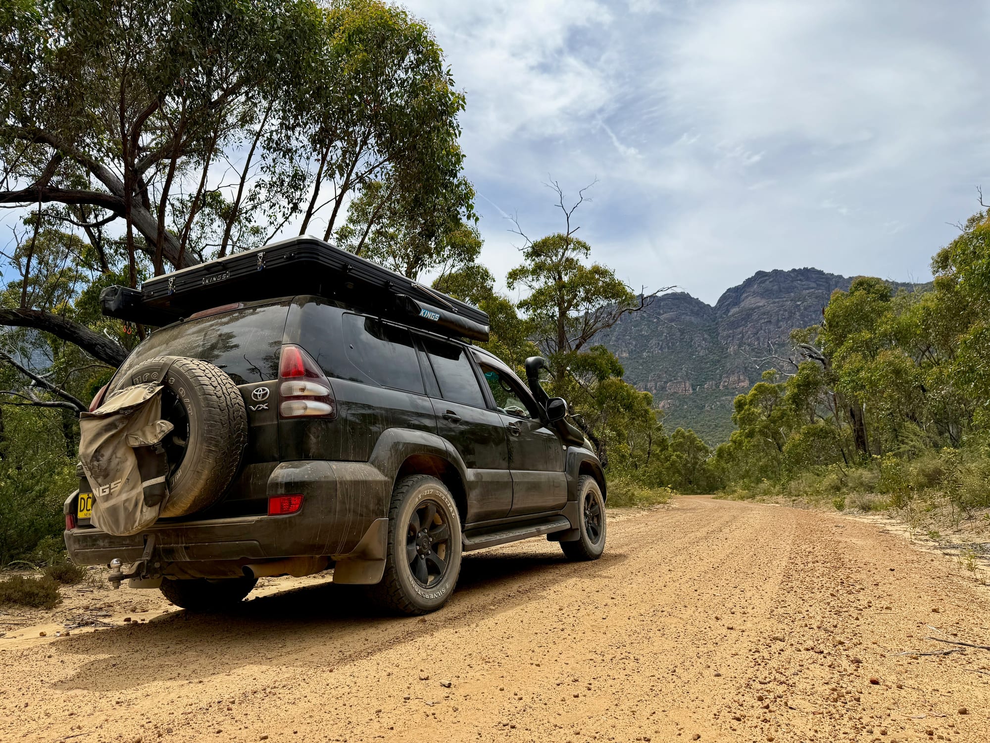
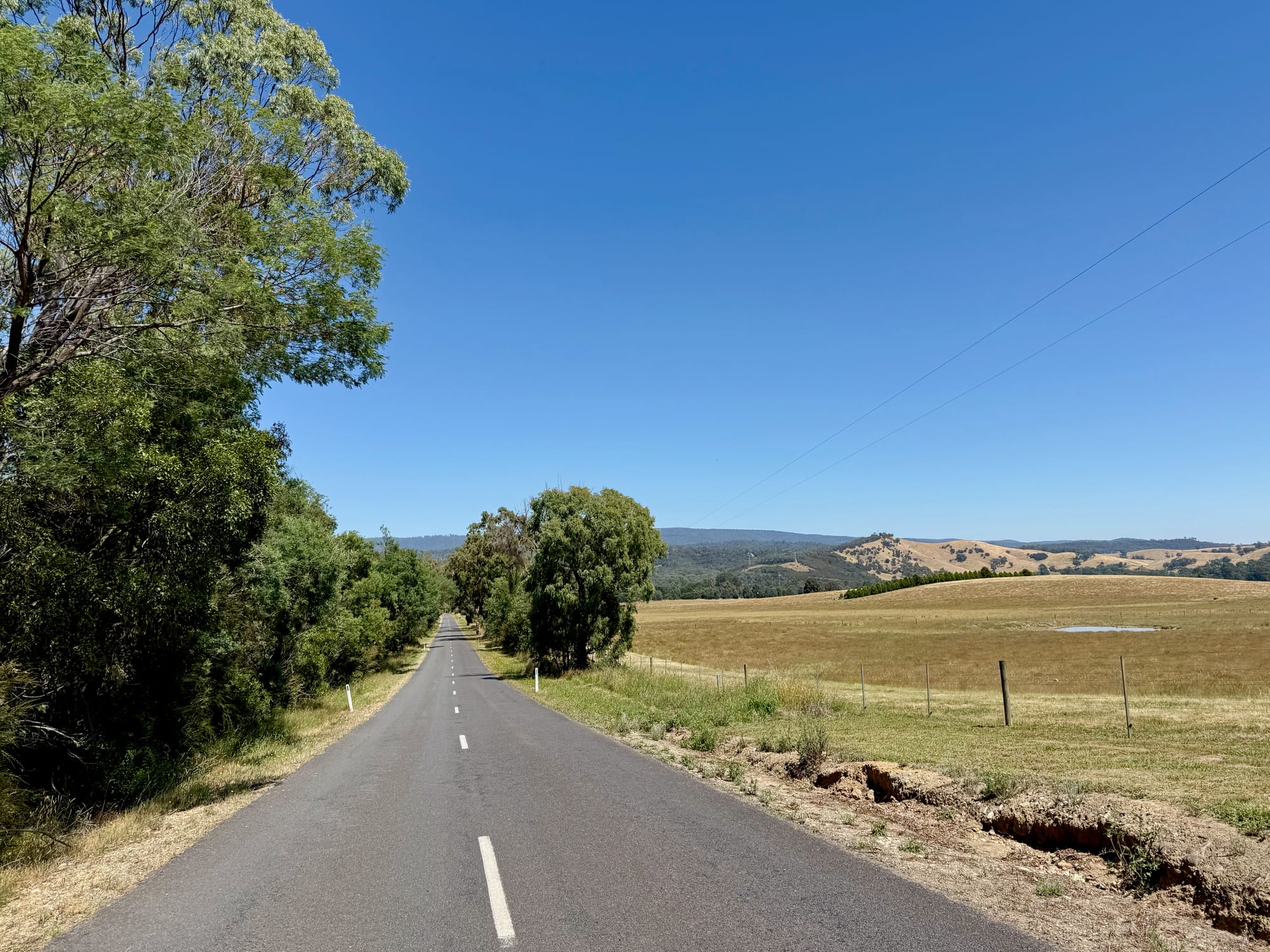
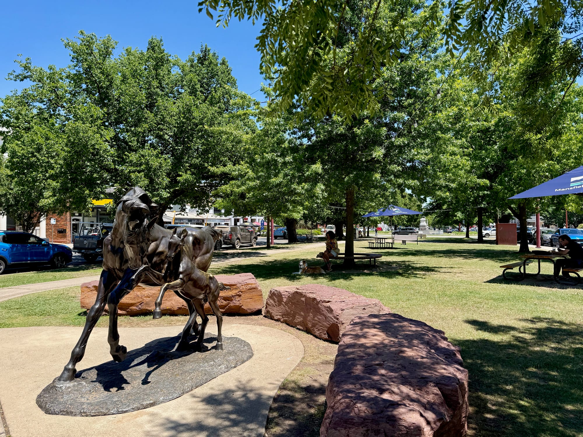
The main roads are all sealed, including the Great Alpine Road over Mt Hotham, though it’s steep and winding above Harrietville. The roads to Powers Lookout and Buffalo River Retreat are gravel but fine for any car. The Benambra–Corryong Road, our way north from Omeo, is long, well-graded gravel through the national park, and many of the park’s own tracks close over winter. In Mansfield we stopped for a stretch: a country town with a wide main street, a monument in the middle of the roundabout and the old Mansfield Hotel behind it.
Map of Our RouteMap
Our route ran north-east from Melbourne to the Buffalo River, then east up the Great Alpine Road over Mt Hotham to Omeo, and north on the Benambra–Corryong Road to Khancoban and the Snowy Mountains.
Campgrounds in the High CountryCampgrounds
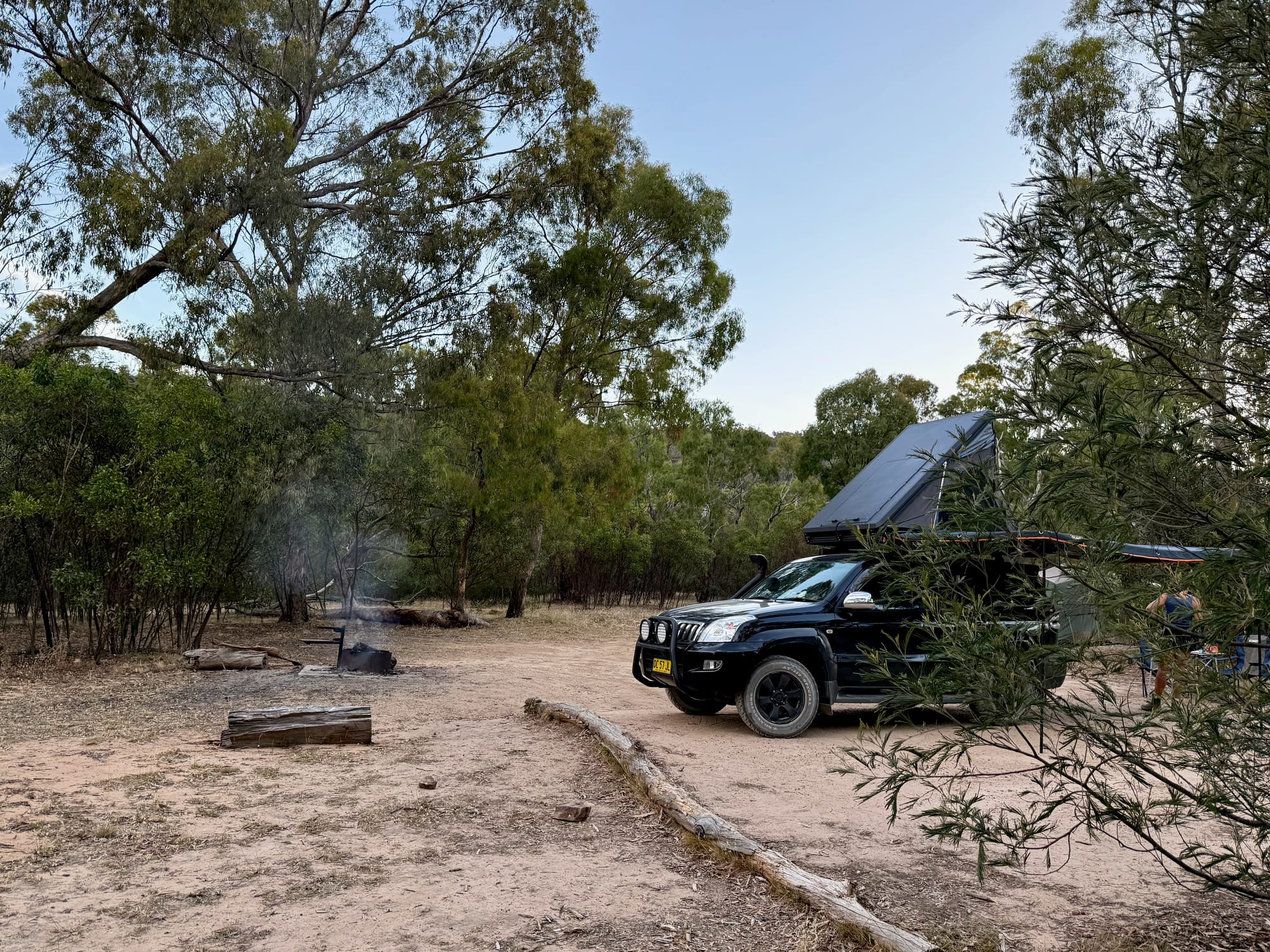
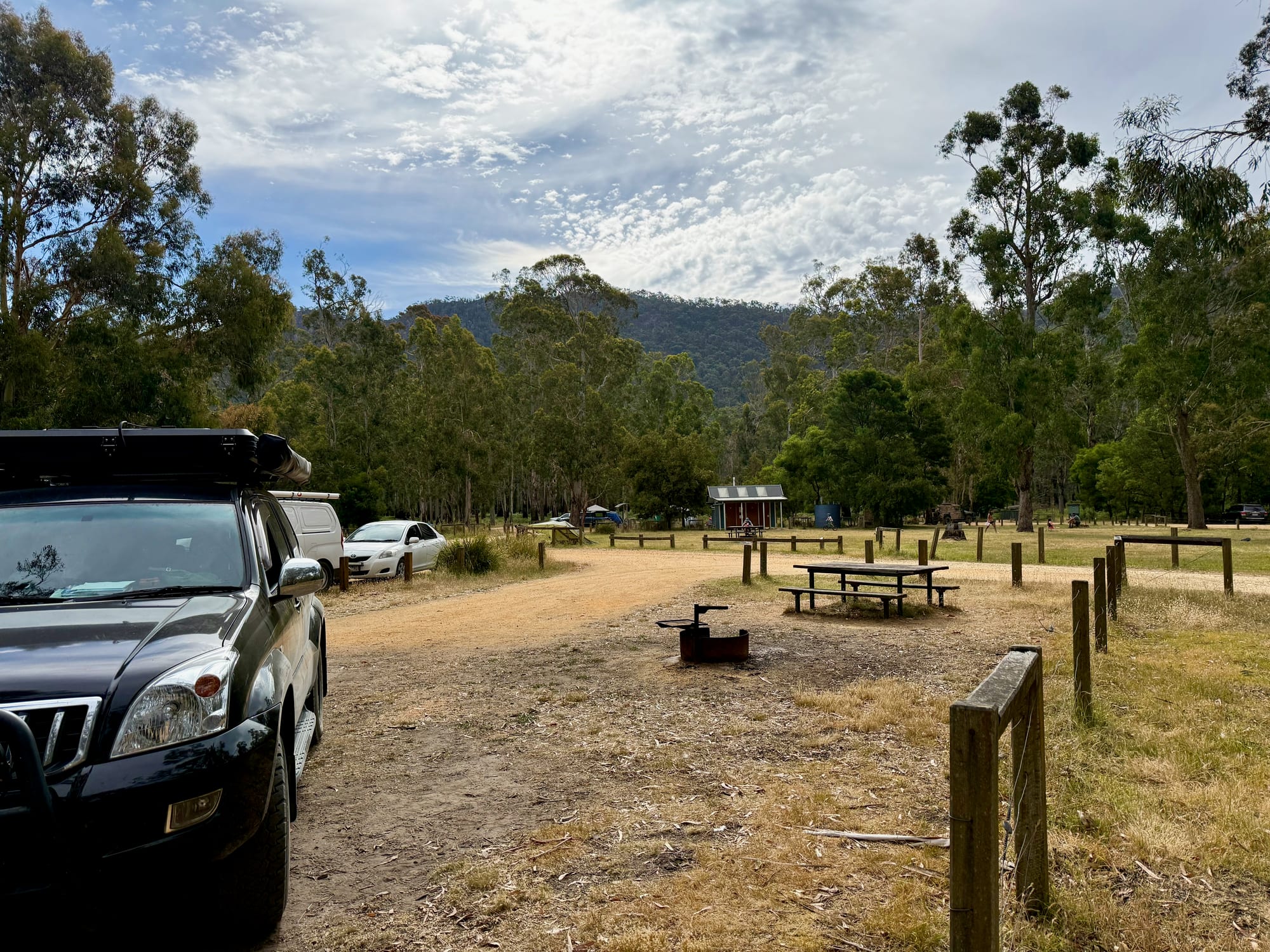
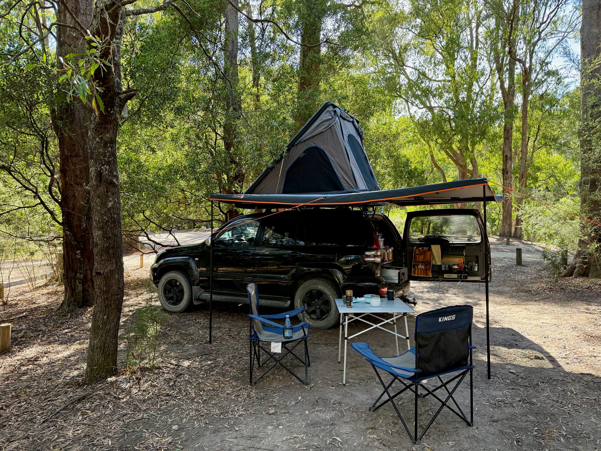
We camped two nights on the way through, both very different. Cooks Mill, in Cathedral Range State Park, is a quiet forest camp beside the Little River, with sites you choose on arrival. Buffalo River Retreat was a farm Hipcamp near Myrtleford, with grassy flats under the river gums and rock pools by camp, but its listing now says it’s closed to bookings.
Cooks Mill Campground, Cathedral Range State Park
Scored 8.9 out of 10- $35.60 a night, up to 6 people
- Toilets
- No dogs
Our take: A hidden gem in the forest: big, quiet sites by the Little River, with walks into the Cathedral Range from camp. Read more
What we like
- Quiet, spread-out forest sites
- Little River beside camp
- Walks straight from camp
- Room for a rooftop tent setup
- Fireplaces and a shelter
What we don’t
- No drinking water
- Sites aren’t marked
- Bring your own firewood
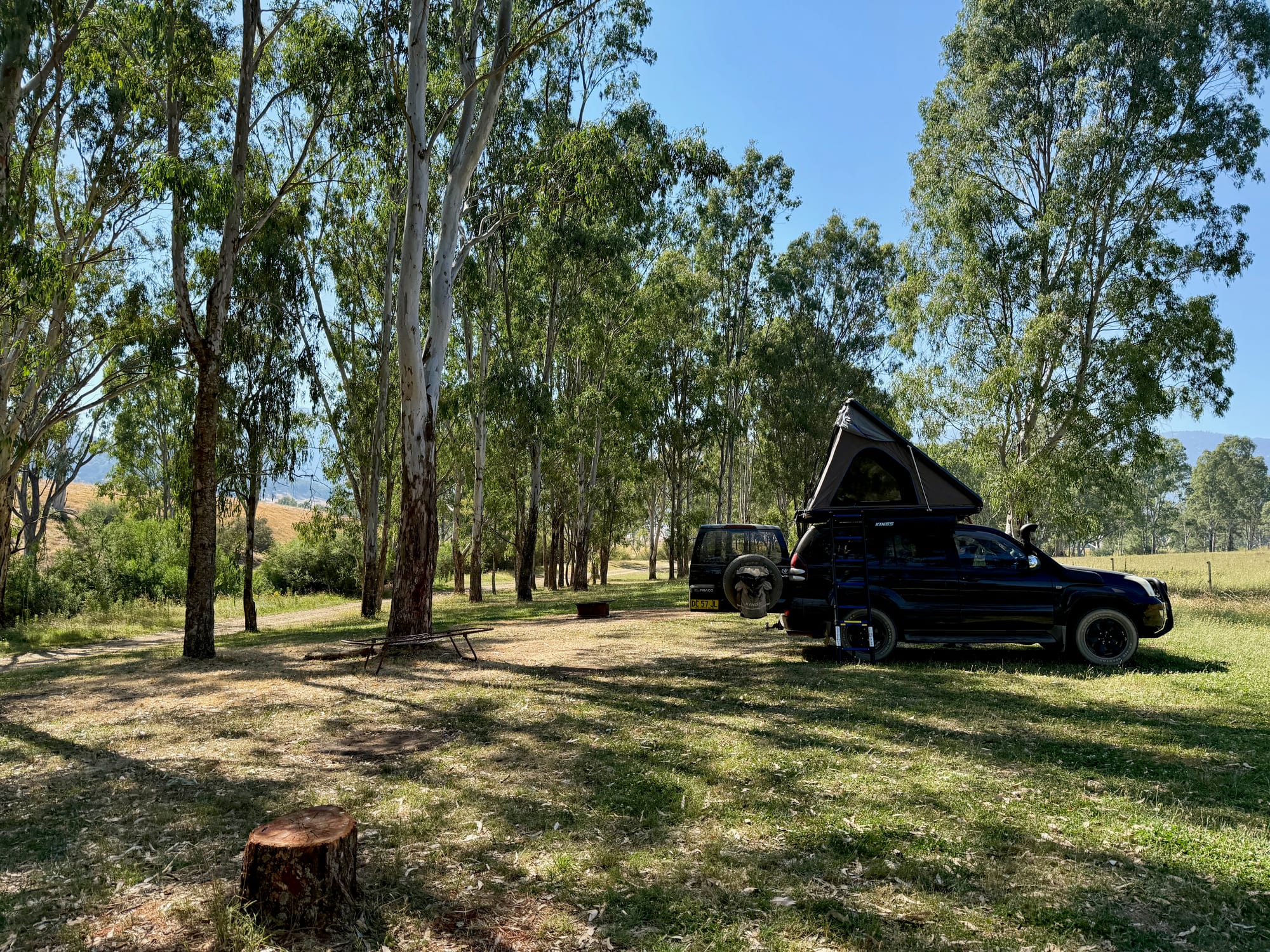
Buffalo River Retreat, Myrtleford Hipcamp
Scored 8.3 out of 10- We paid $25 a night
- Toilets
- Dogs allowed
Our take: A quiet riverside camp on a farm in the Buffalo River valley, with grassy flats under the gums and rock pools by camp. Closed to bookings for now. Read more
What we like
- Big grassy flats by the river
- Rock pools for a swim
- Only four private sites
- Fire rings with a grill plate
- Close to Bright and Myrtleford
What we don’t
- Closed to bookings for now
- No drinking water
- Basic drop toilet
Lookouts
Three lookouts, three very different views. Powers Lookout is a scramble through giant boulders to a platform over the King River Valley. Danny’s Lookout is a bare summit at 1,705 metres beside the Great Alpine Road below Mt Hotham. And the Mt Kosciuszko Lookout, just outside Omeo, looks across the border to the Main Range in NSW.
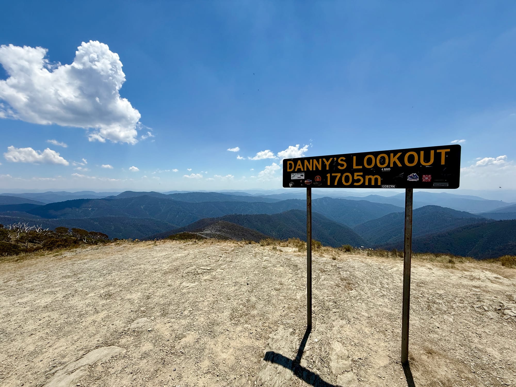
Danny's Lookout, Great Alpine Road
Scored 9.4 out of 10- Free
- No toilets
- Dogs allowed
Our take: The best view on the climb to Mt Hotham: a bare summit beside the road, with ridge after ridge of blue ranges. Read more
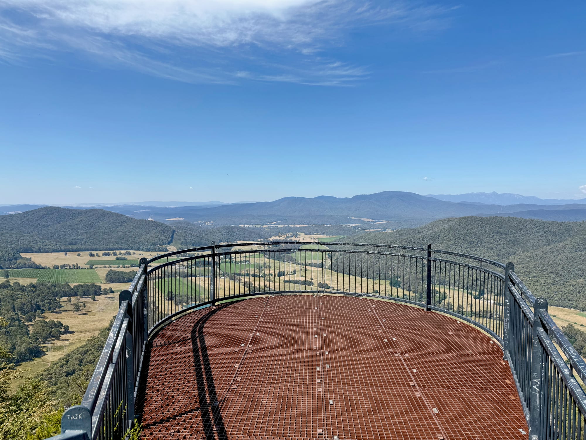
Powers Lookout, King Valley
Scored 8.9 out of 10- Free
- Toilets
- Dogs allowed
Our take: A big view for a short walk. A few minutes from the car park, steel steps and ladders lead through giant boulders to a platform high above the green King River Valley, with the Alps behind. Read more
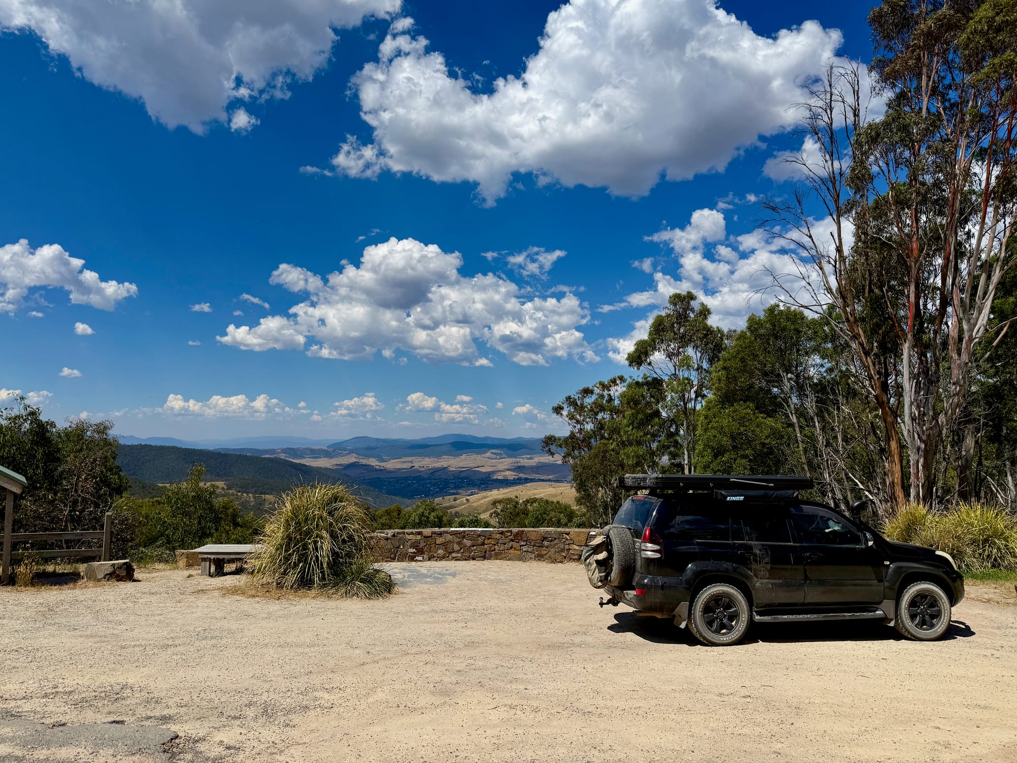
Mt Kosciuszko Lookout, Omeo
Scored 8.5 out of 10- Free
- No toilets
- Dogs allowed
Our take: A view from Victoria to the roof of Australia: a peak-finder wall just off the Great Alpine Road before Omeo. Read more
Sights
Bright and Harrietville are the two towns on the Great Alpine Road before it climbs into the Alps: Bright the leafy, busy one with cafes and a visitor centre, Harrietville the small, quiet village at the foot of Mt Hotham. On the way up from Melbourne, the Black Spur winds through tall mountain ash and tree ferns.
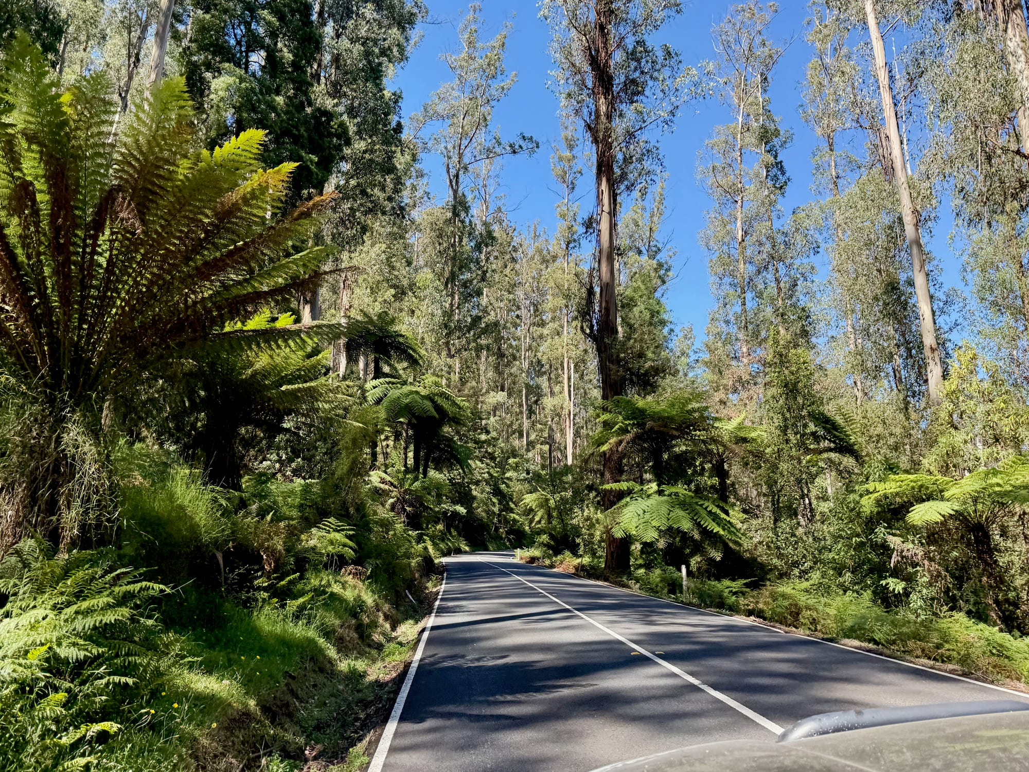
The Black Spur Drive, Yarra Ranges
Scored 9.1 out of 10- Free
- Dogs allowed
Our take: One of the most beautiful drives out of Melbourne: tall mountain ash and huge tree ferns from Healesville to Narbethong. Read more
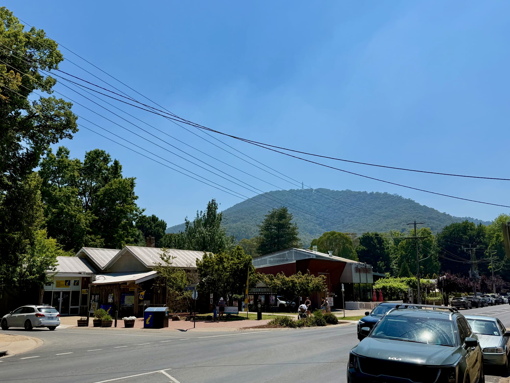
Bright, High Country
Scored 9.0 out of 10- Free to visit
- Toilets
- Dogs allowed
Our take: The leafy gateway to the Victorian Alps. Bright is a busy little town of cafes, shops, a cinema and a visitor centre, with tall trees in every street and forested hills at the end of them. Read more
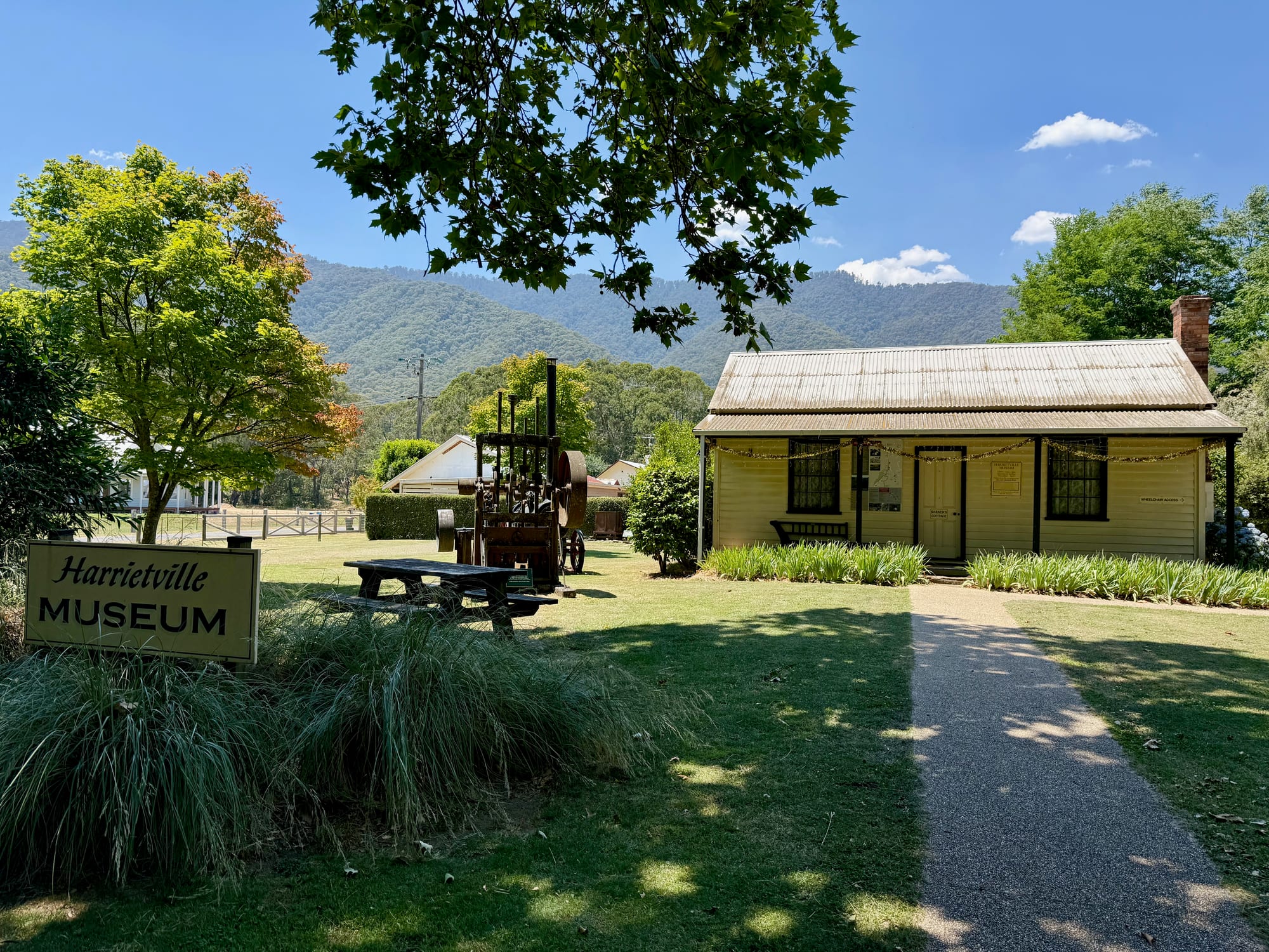
Harrietville, High Country
Scored 8.9 out of 10- Free to visit
- Toilets
- Dogs allowed
Our take: A quiet village at the foot of the Alps: a bakery, a little museum and river walks, with the Mt Hotham climb right behind. Read more
Back Roads to the Buffalo RiverBack roads
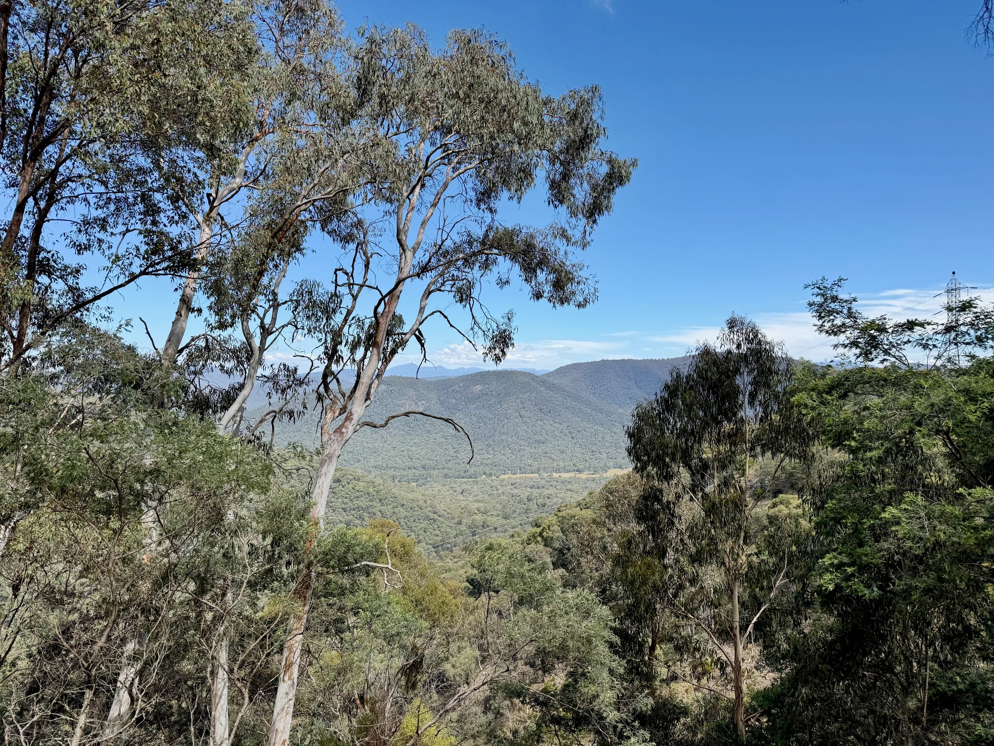
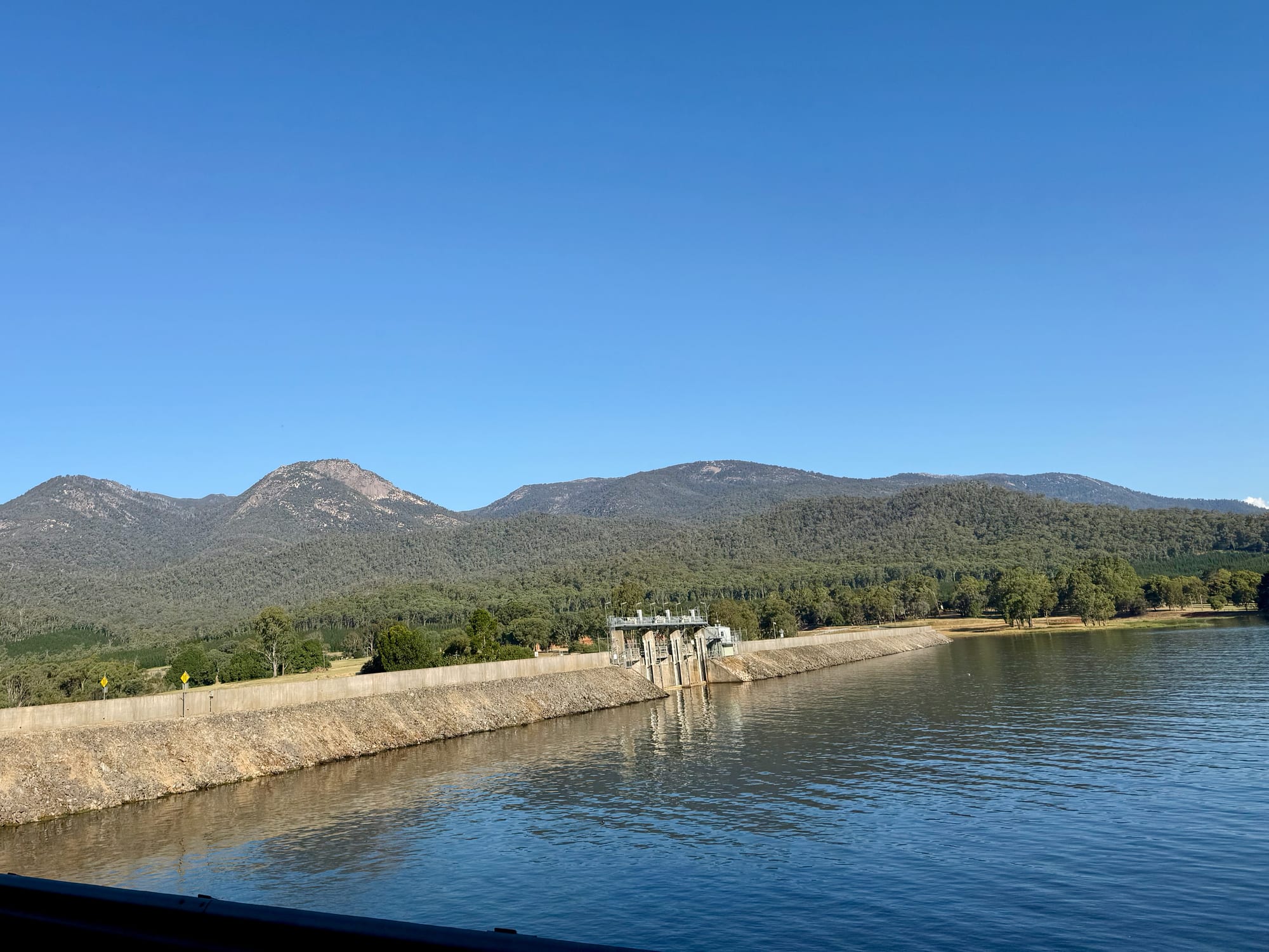
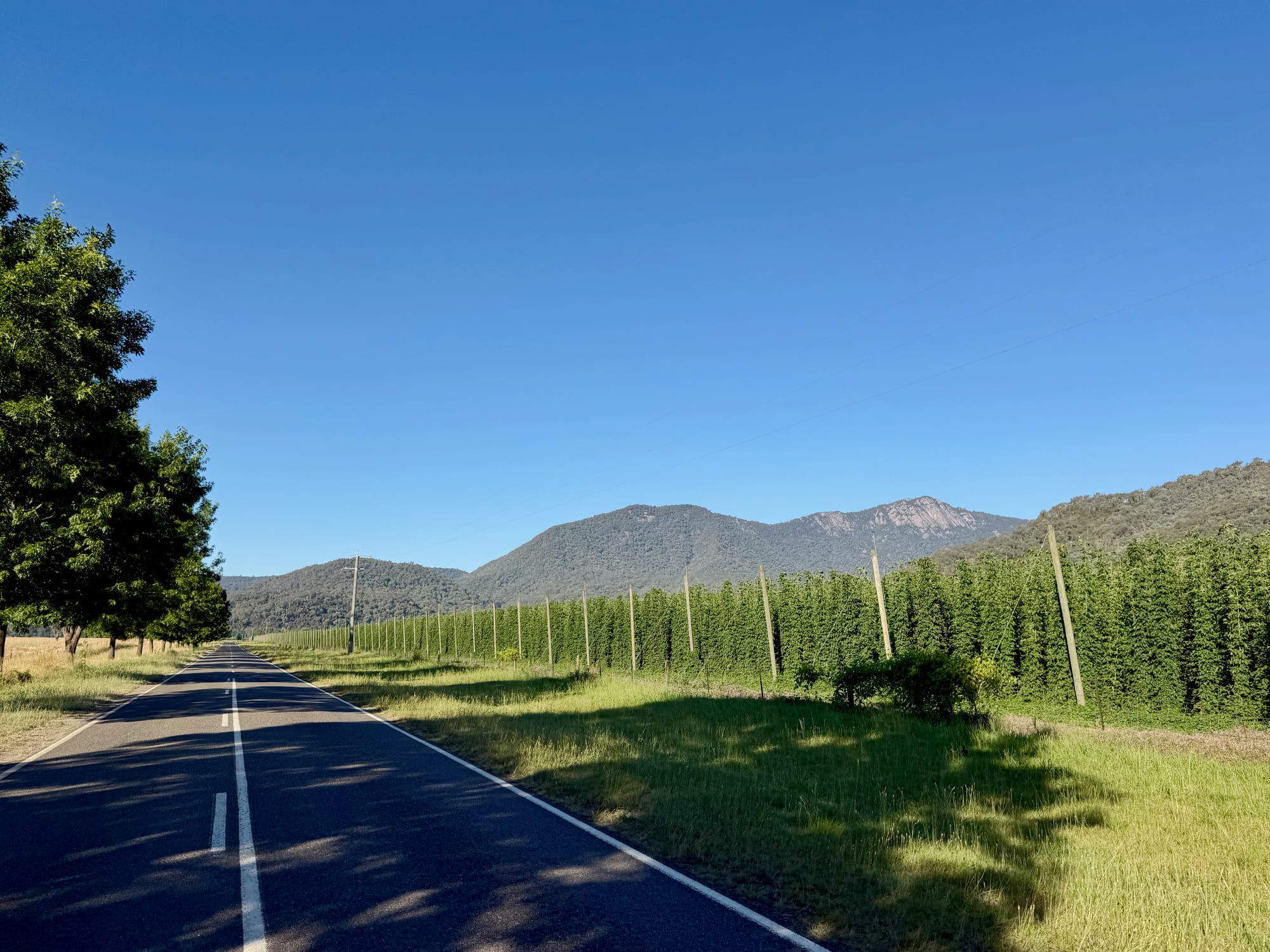
From Powers Lookout we took the back roads east towards the Buffalo River: gravel through farmland and pine plantations, with granite peaks ahead. It was somewhere out here, on a rocky stretch, that we got a flat tyre, and we plugged it on the side of the road. Late in the afternoon we came out past a dam wall with Mount Buffalo’s granite behind, and hop gardens and vineyards in the valley below.
The Great Alpine Road over Mt HothamGreat Alpine Rd
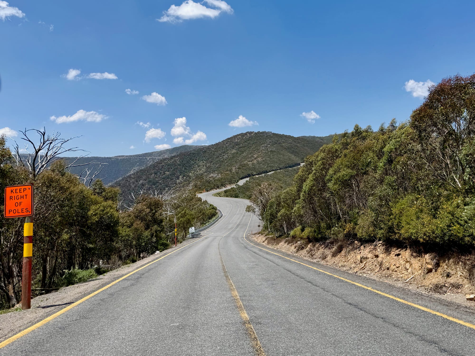
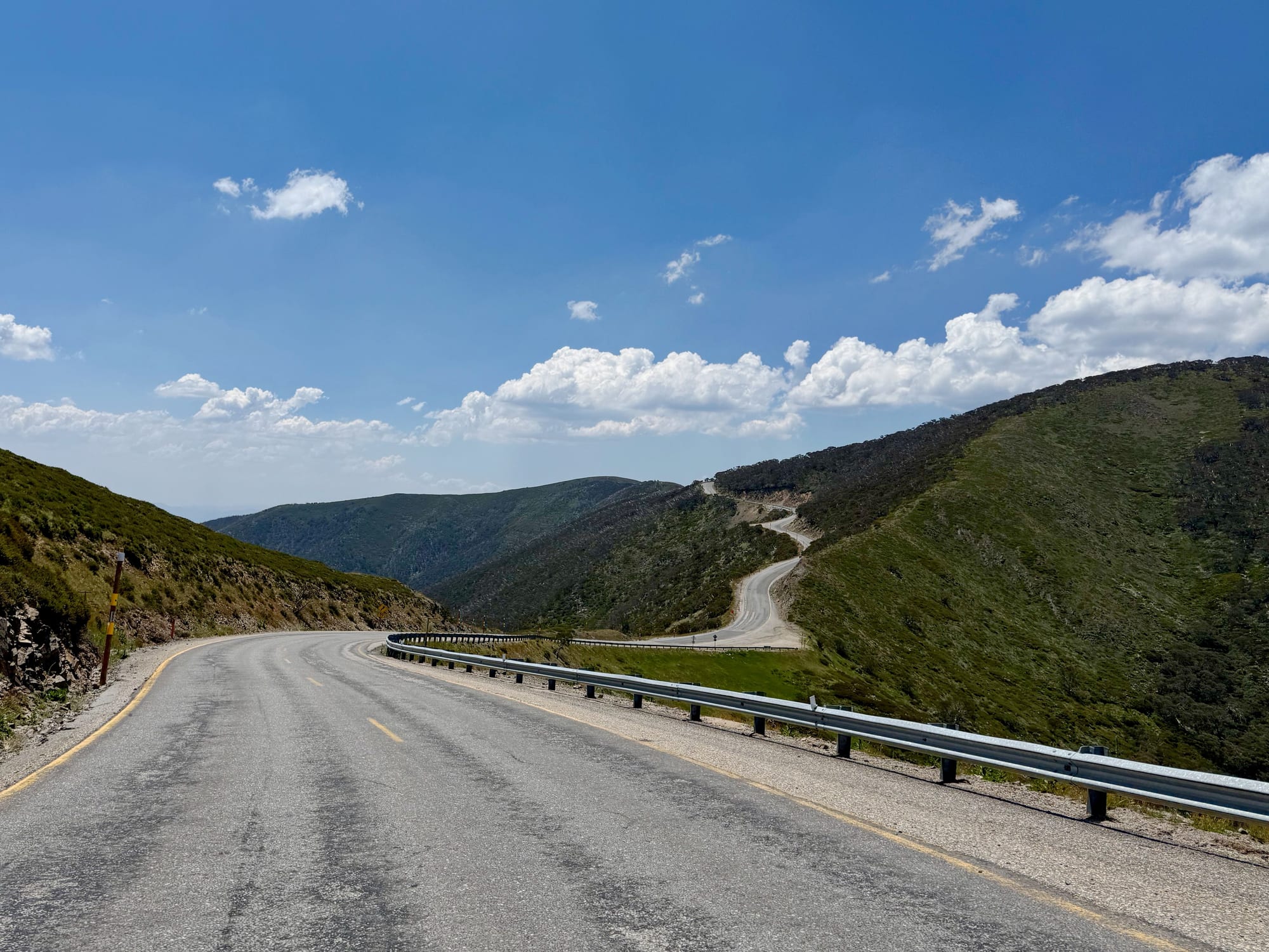
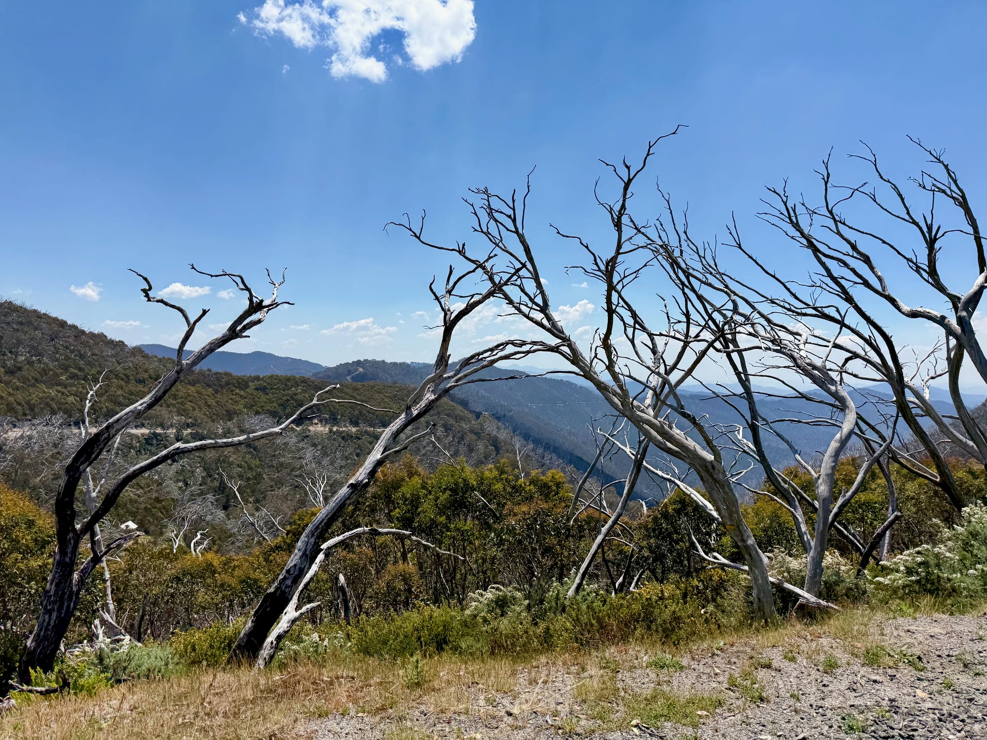
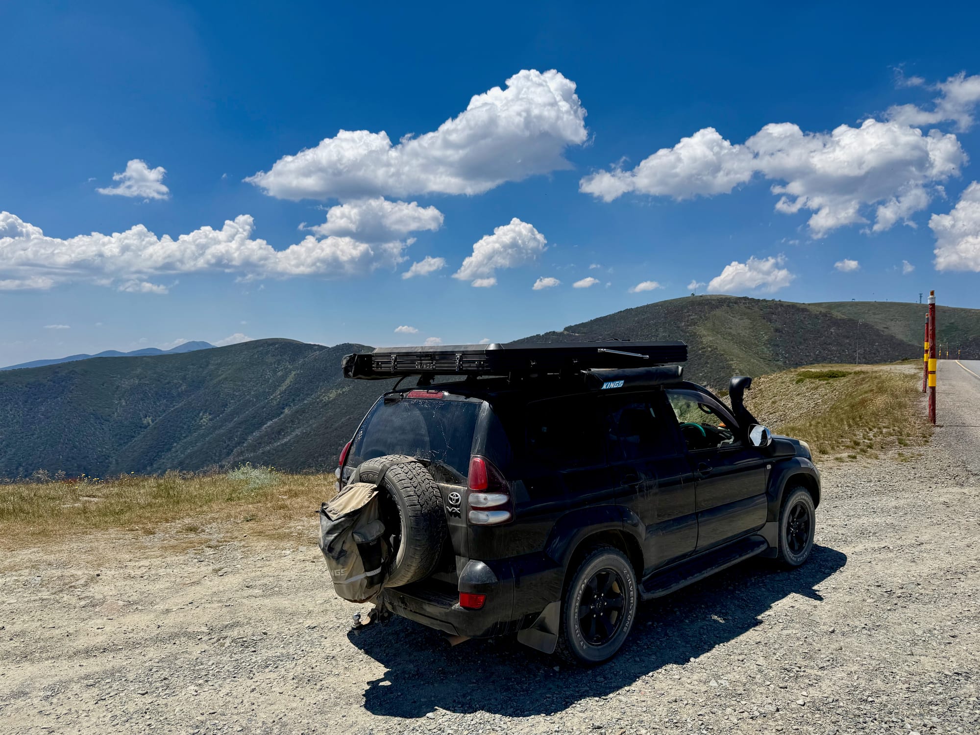
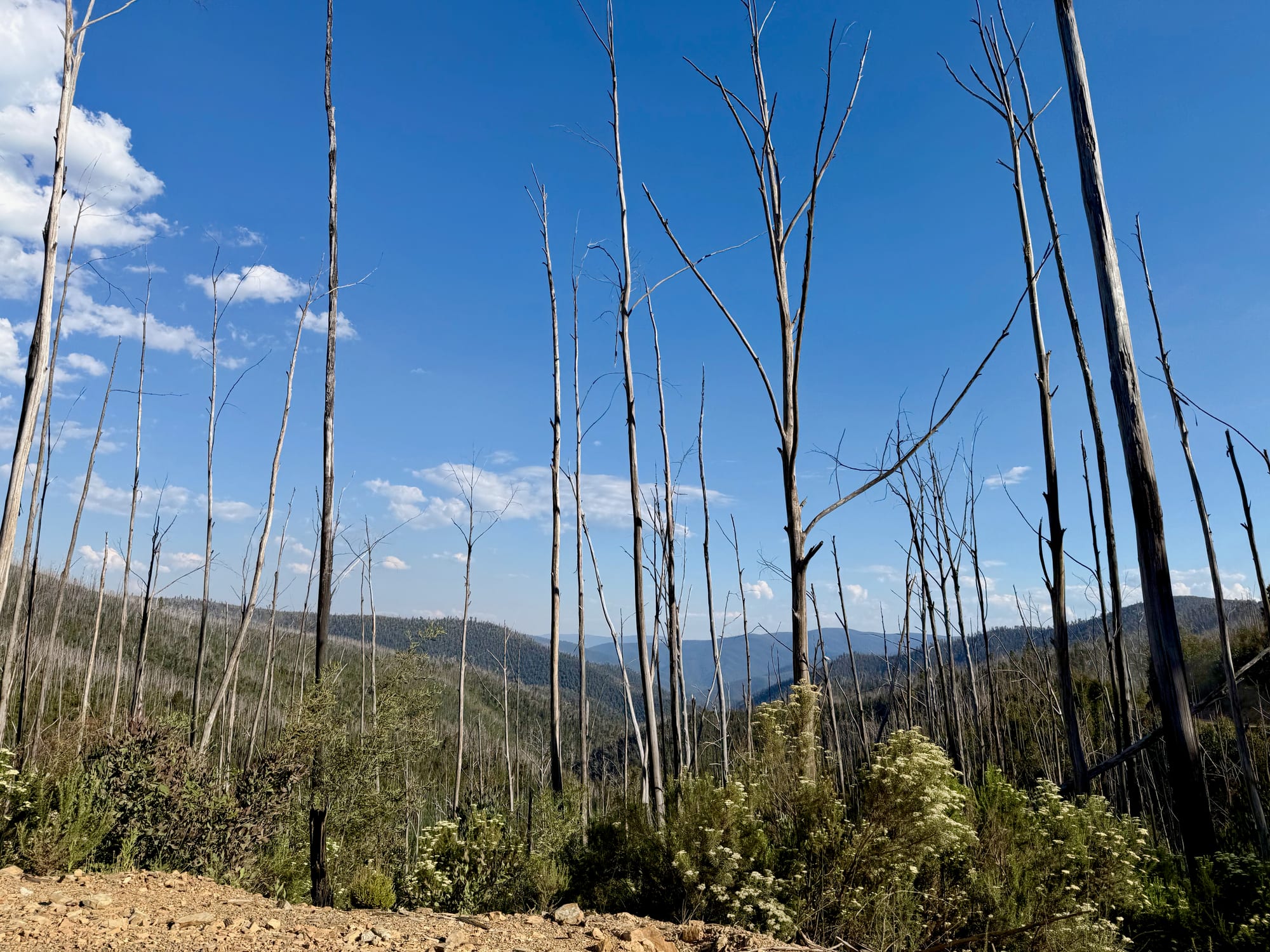
Past Harrietville the Great Alpine Road climbs through tall forest and hairpin bends, then breaks out above the treeline onto open ridges. Up here the snow gums are bleached and dead from old fires, snow poles line the road, and the road snakes along the ridgetops with huge drops on either side. We stopped again and again at the gravel pull-offs, at Danny’s Lookout near the top, then rolled over Mt Hotham and down through Dinner Plain towards Omeo.
North From Omeo on the Benambra–Corryong RoadOmeo & north
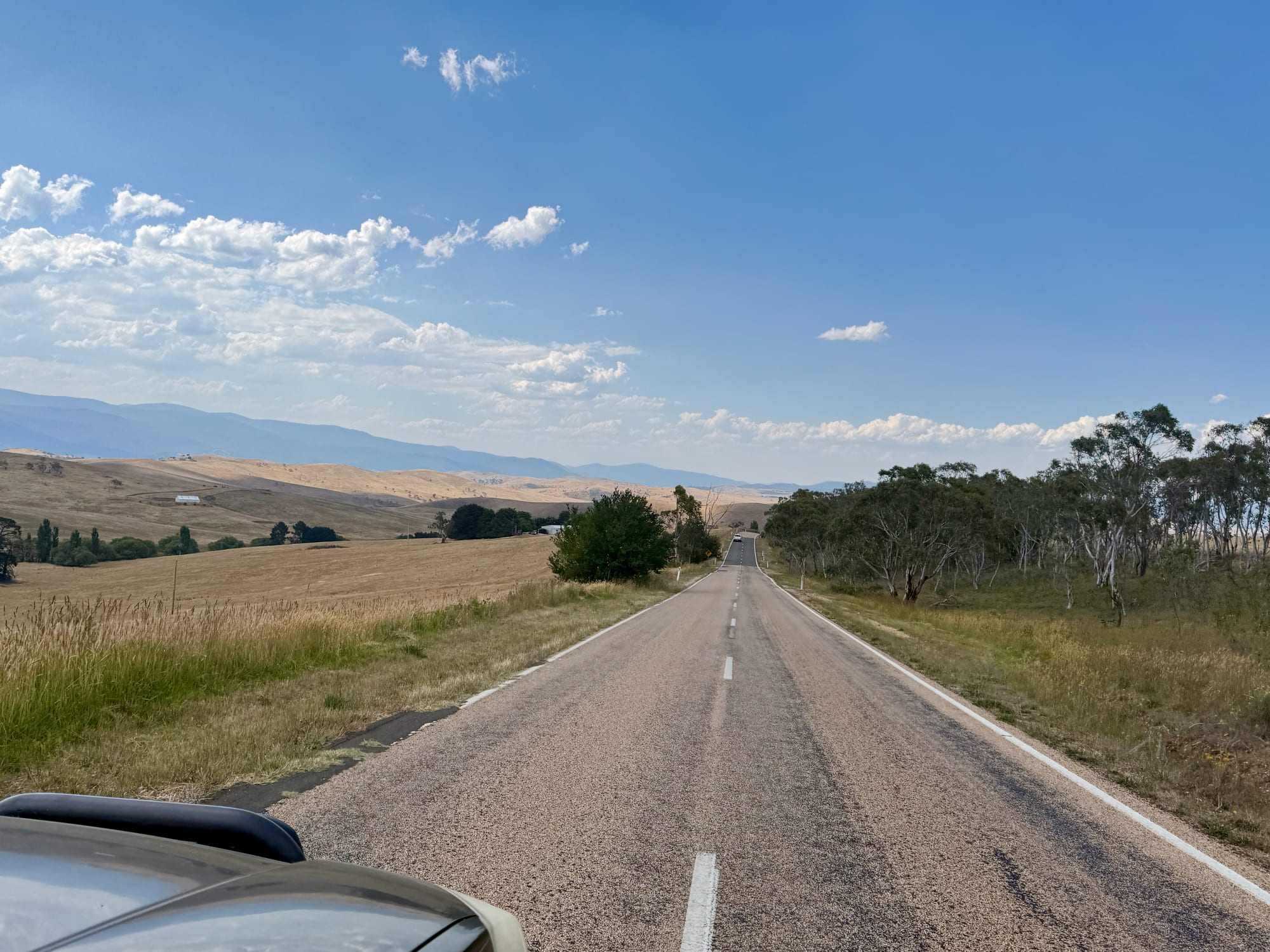
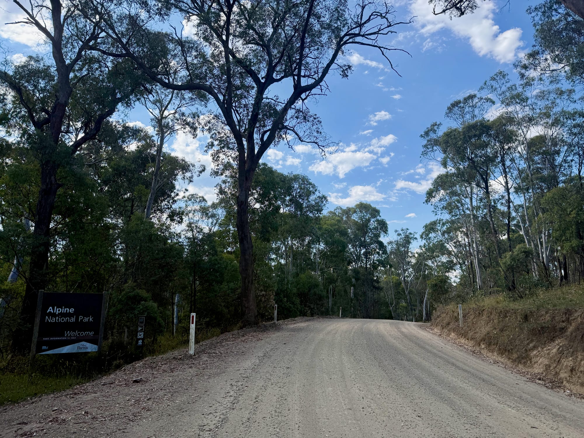
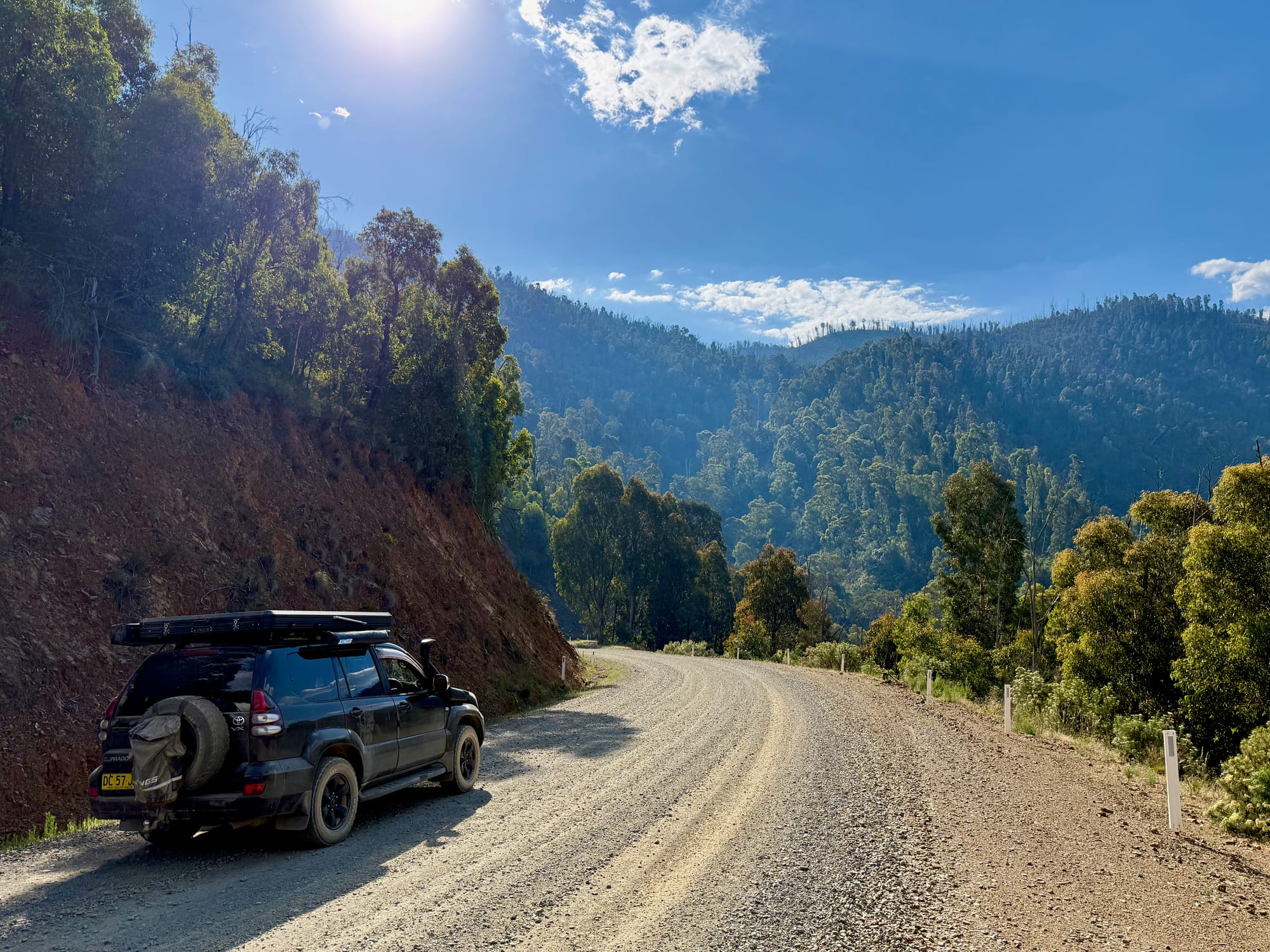
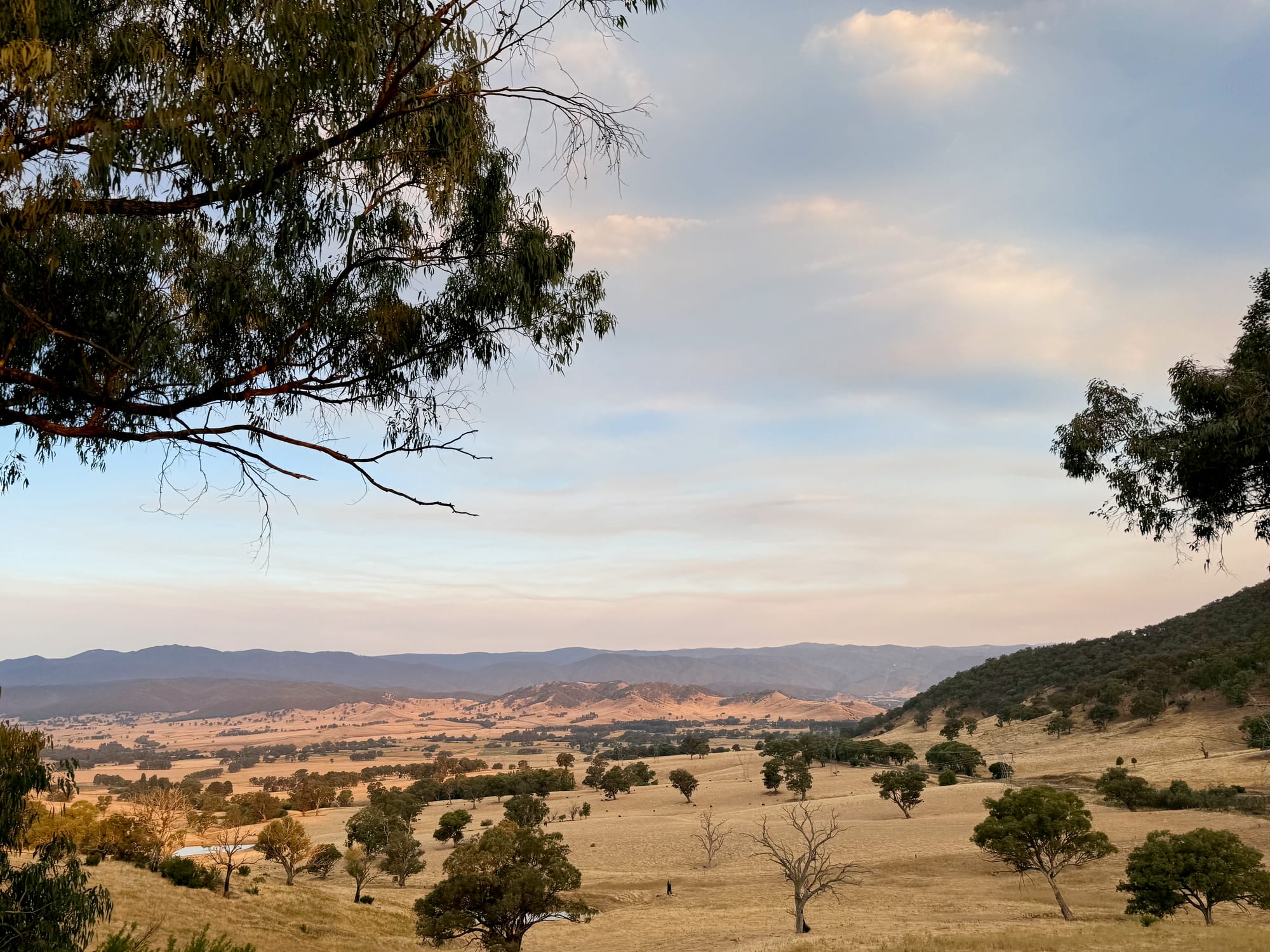
Omeo is the old gold town on the far side of the mountains, and its tyre shop fixed our plugged tyre properly. From there we headed north-east across open plains towards Benambra, then onto the Benambra–Corryong Road: long, dusty gravel through Alpine National Park and Gibbo State Forest, over a single-lane bridge and through a long stretch of forest killed by bushfire, with green regrowth coming back underneath. It was well graded and fine for our Prado in the dry. By evening we came out into the Nariel Valley and the golden farmland of the Upper Murray, past the sign welcoming us to the Snowy Mountains.
Practical TipsPractical tips
The main roads through the High Country are easy driving, but the towns are far apart and the gravel back roads are hard on cars and tyres. Here’s what we’d sort out before heading up.
- Go between November and May. Many Alpine National Park roads close over winter, and in the snow season you need to carry chains over Mt Hotham.
- Fill up in the towns. Mansfield, Myrtleford, Bright and Omeo have fuel and supplies. There’s little in between, and nothing on the Benambra–Corryong Road.
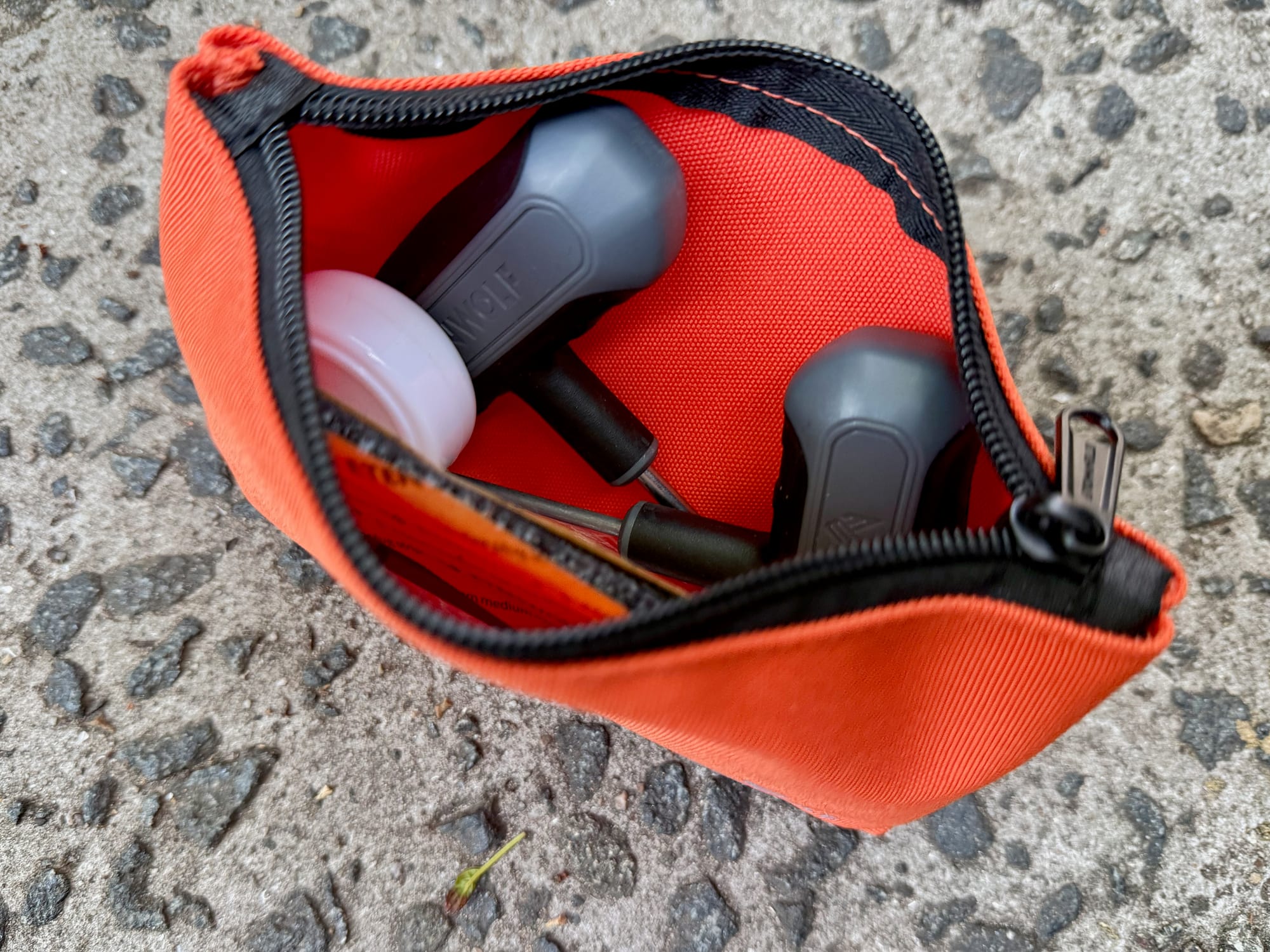
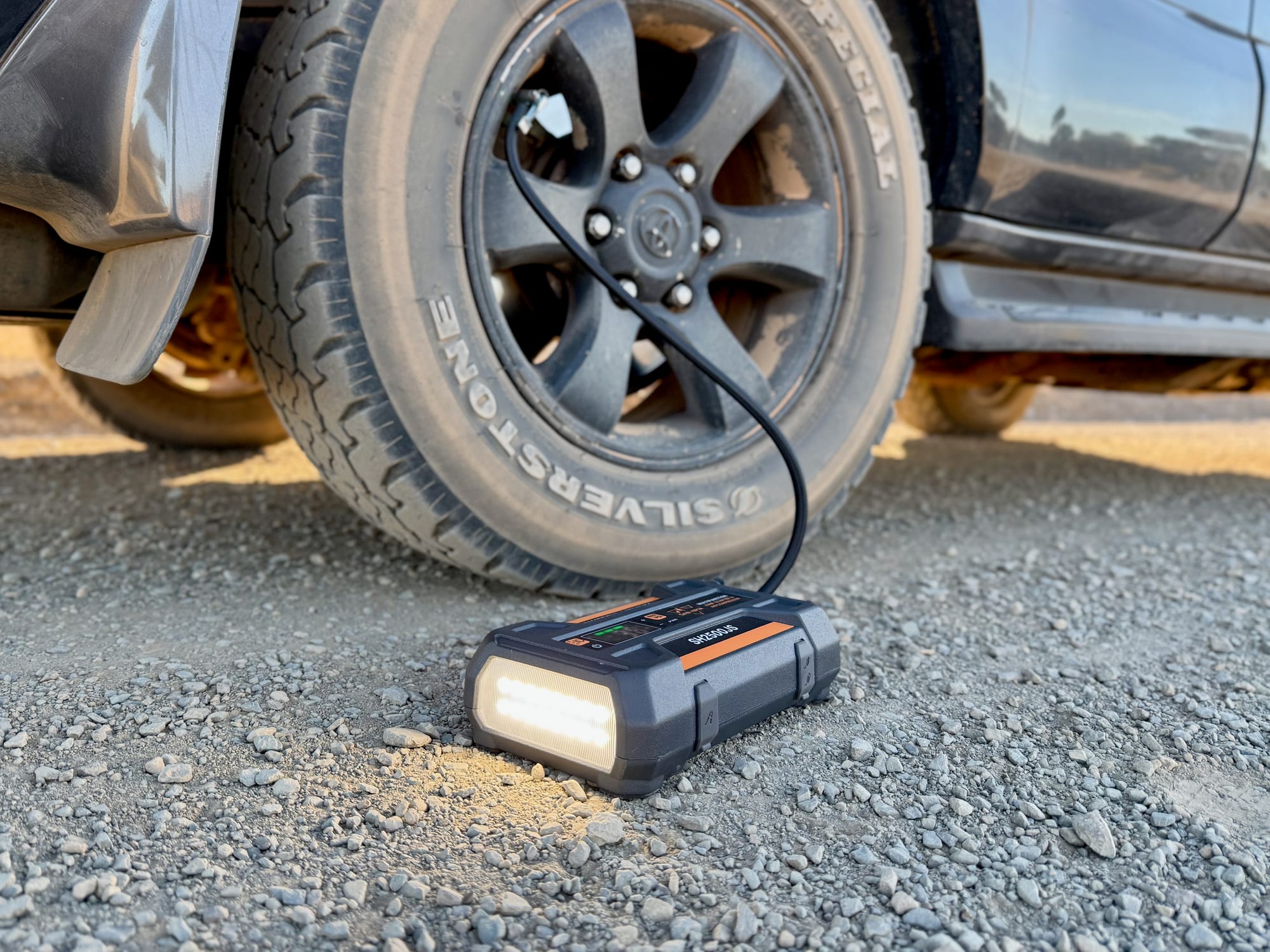
- Carry water and a tyre kit. The camps we used had no drinking water, and the gravel back roads are rough on tyres: a plug kit and a compressor saved our day.
- Check fire danger in summer. On Code Red days, Victoria’s parks and forests close, as the boards in Bright warn.
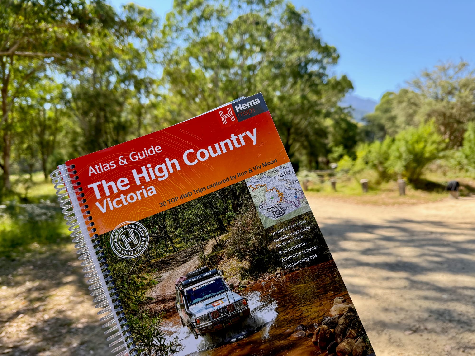
- Download your maps. Reception comes and goes in the valleys and on the back roads, so have offline maps or a paper atlas.
Summary
The Victorian High Country makes a brilliant road trip between Melbourne and the Snowy Mountains: tall forest on the Black Spur, a bush camp at Cooks Mill, Powers Lookout over the King River Valley, a riverside camp on the Buffalo, leafy Bright and little Harrietville, and the Great Alpine Road over Mt Hotham to Omeo. We did it in three days and could easily have spent a week. From here we crossed into NSW for the southern end of Kosciuszko National Park.
Victoria’s mountains at their best, on a road trip.
In three days we went from the tall forest of the Black Spur to a riverside camp near Myrtleford, leafy Bright and the bare ridges of the Great Alpine Road over Mt Hotham, then took the gravel Benambra–Corryong Road north to the Snowy Mountains. Go in the warmer months, carry water, and give it more time than we did.
- 4WD tourers
- Travellers
- Couples
Yes. The lookouts and the alpine roads cost nothing, the towns have everything you need, and the camps are cheap or free.
Recommended Gear for the Victorian High Country
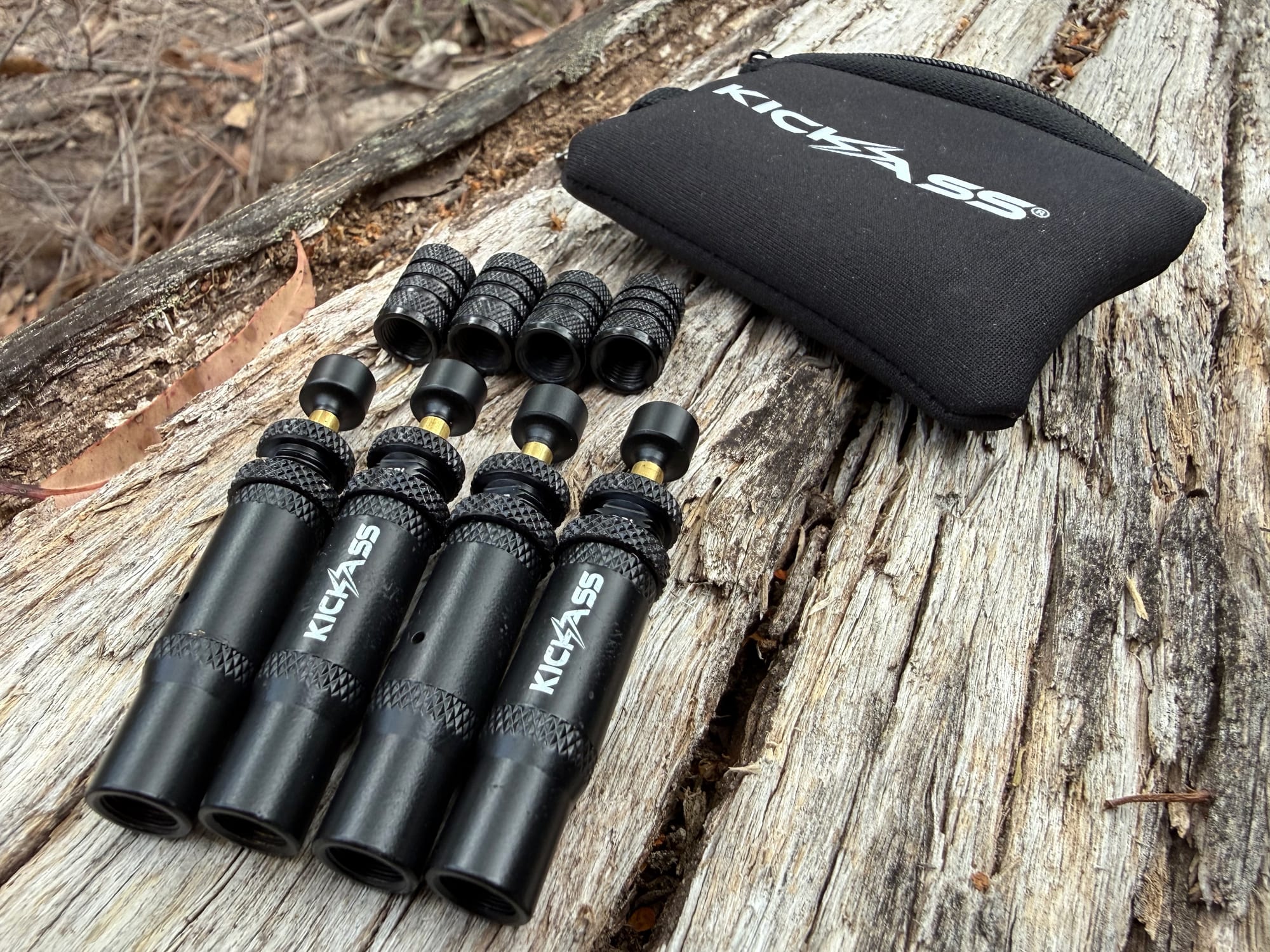
The back roads are hard on tyres, so carry a tyre plug kit and a compressor like the San Hima jump starter, and tyre deflators for the gravel. The Hema High Country atlas covers the whole region and its tracks, and it works where the phone doesn’t.