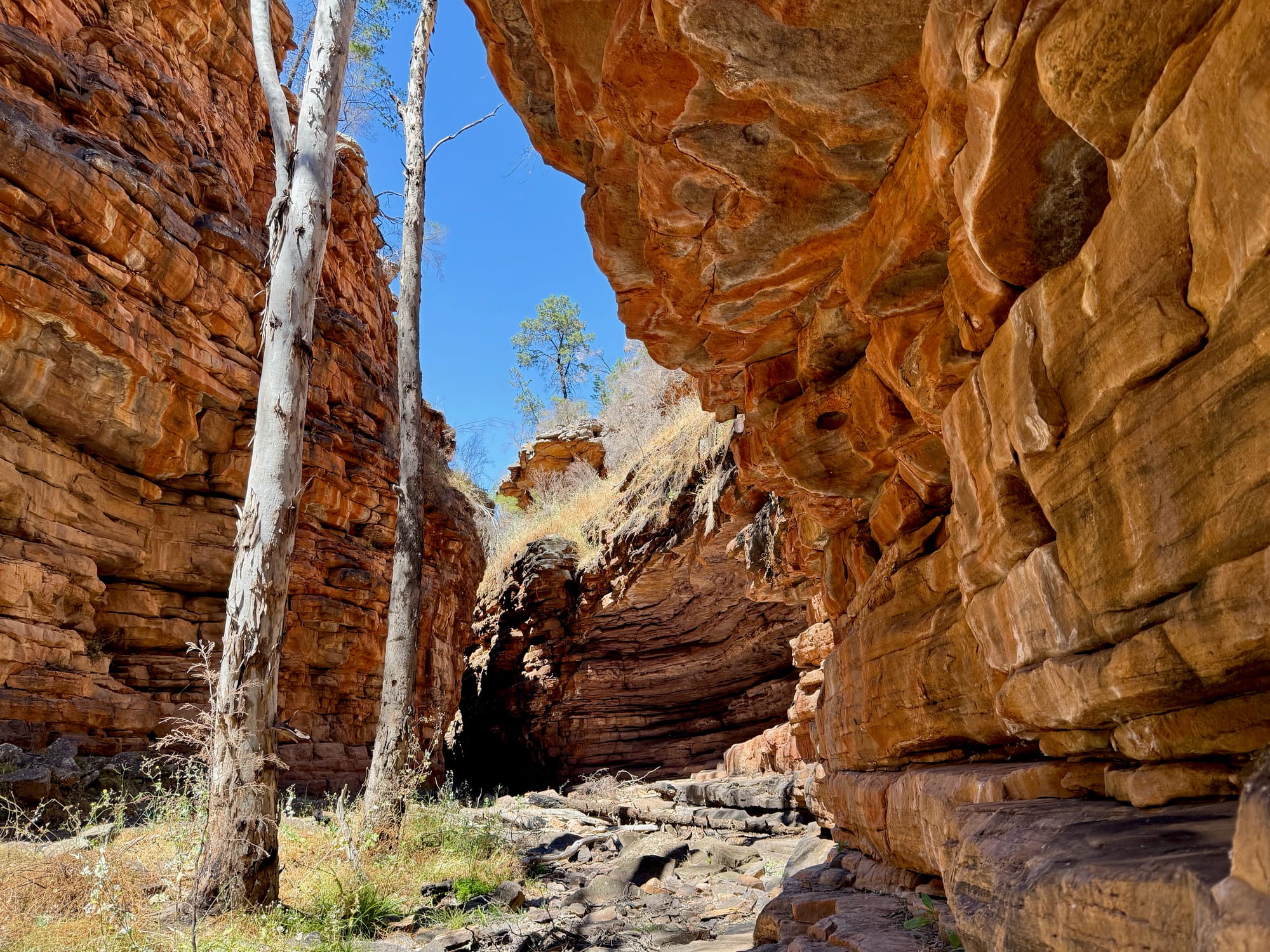
Alligator Gorge was our first stop after leaving the Flinders Ranges, in Mount Remarkable National Park near Wilmington in the Southern Flinders, and it turned out to be the best short walk of the whole trip. The Narrows Hike takes you down steps into the gorge and through a slot of layered red rock a few metres wide, with white-trunked gums reaching up to the strip of sky, and back out through Blue Gum Flat in about two hours.
What we like
- The Narrows: a slot of red rock
- A 2-hour loop with steps and shade
- Walks from 15 minutes to a day
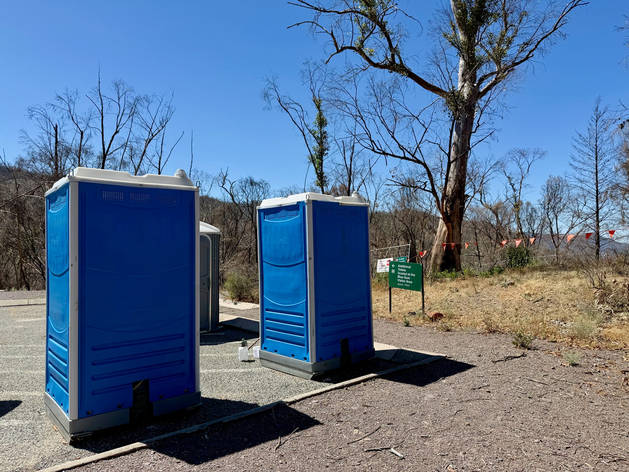
- Toilets and tables at the car park
- Easy detour from the highway
What we don’t
- Very steep road; no caravans
- Bushfire scars on the way in
- Gorge floor uneven, slippery wet
About Alligator GorgeAbout
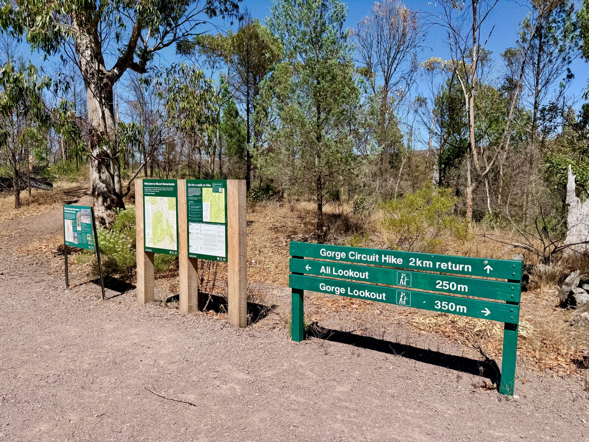
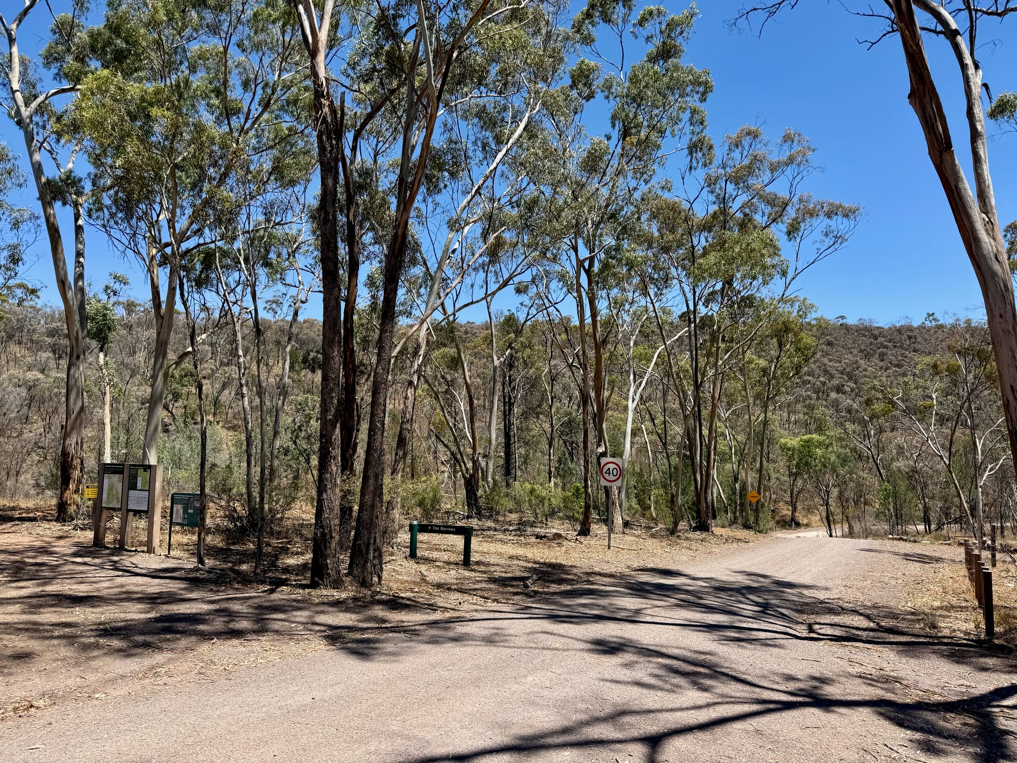
Alligator Gorge is in the northern part of Mount Remarkable National Park, on Nukunu country, with the car park on the rim and the walks dropping into the gorge from there. The boards at the car park list them: the Ali Lookout Walk, 480 m and 15 minutes; the Gorge Lookout Walk, 530 m and 20 minutes; the Narrows Hike, 2 km and 2 hours return, the one we did; the Alligator Gorge Hike, 8.5 km and 4 hours along the full gorge and back by the Ring Route Track; and the Mambray Creek to Alligator Gorge Hike, 13.8 km one way and 5 hours, for fit walkers.
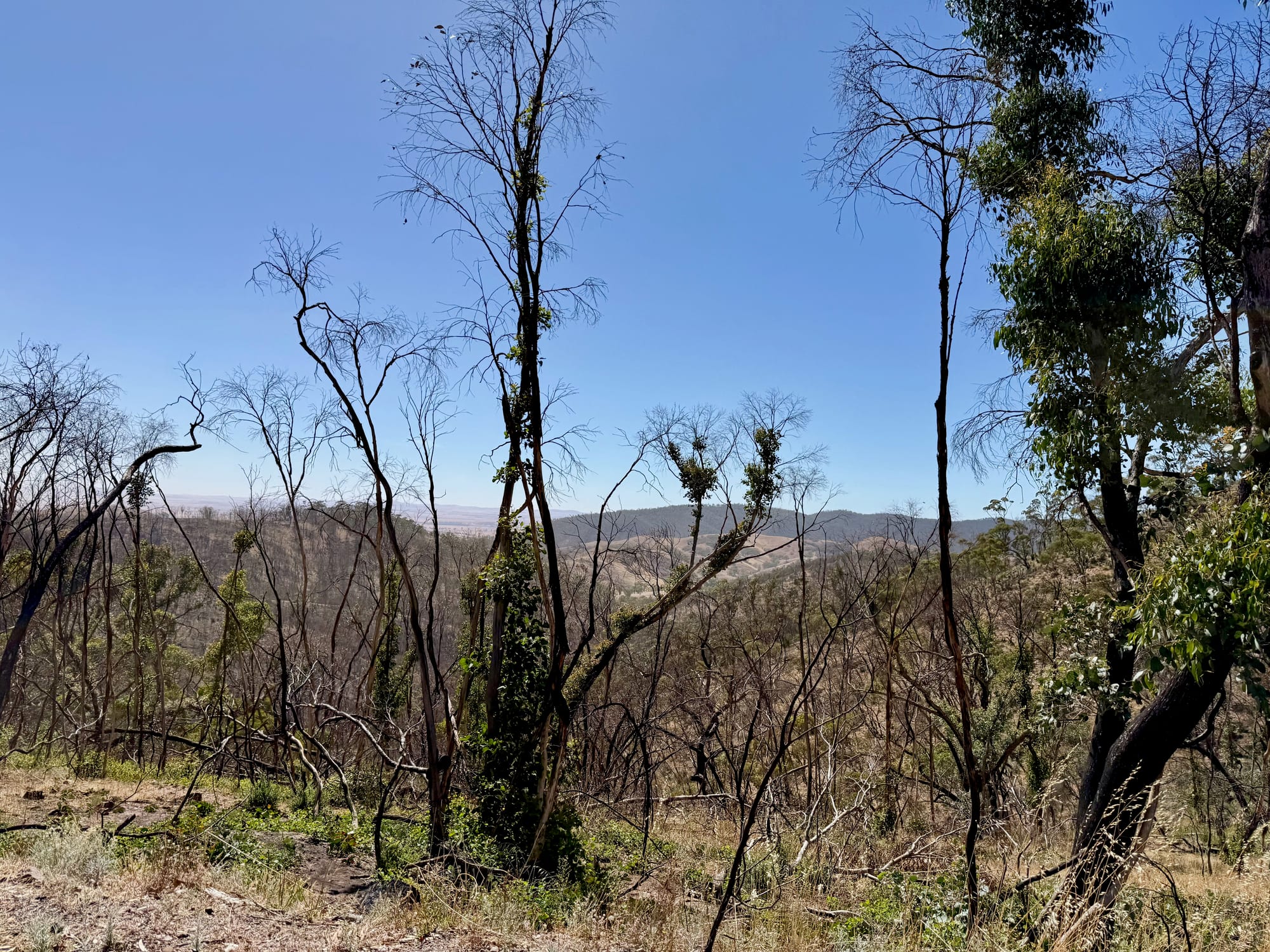
The other board tells you why the bush above the gorge looks the way it does. In early 2025 a fire started by lightning burnt about 27% of the park, around 4,400 hectares, mostly steep country, and Alligator Gorge was one of the areas touched. The landscape is regenerating, the yaccas were flowering, and the park asks you to stay on the track to protect the seedlings.
Quick facts
- AddressAlligator Gorge, Mount Remarkable National Park, Wilmington, SA, AustraliaSee on the trip map →
- Phone receptionPatchy
- FacilitiesParkingToiletsPicnic TablesLookoutsWalking TrailsInterpretive SignsBBQsNo Drinking WaterNo CampingNo Caravan AccessNo Pets
- Good to knowNarrows Hike 2 km, 2 hoursSteep road, no caravansCheck alerts for closures
- FeesIncluded in the $14.40 park entry per vehicle
- 8.9/10Overall rated
Getting There
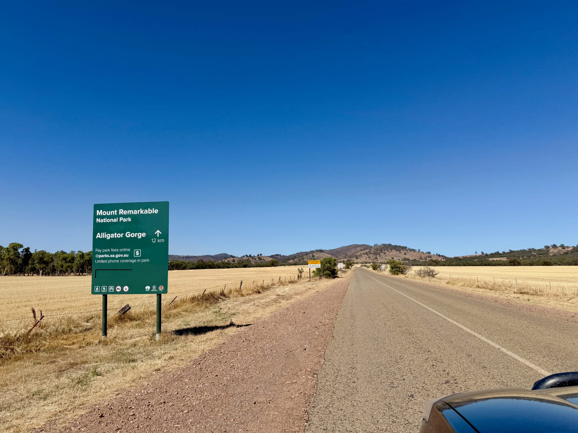
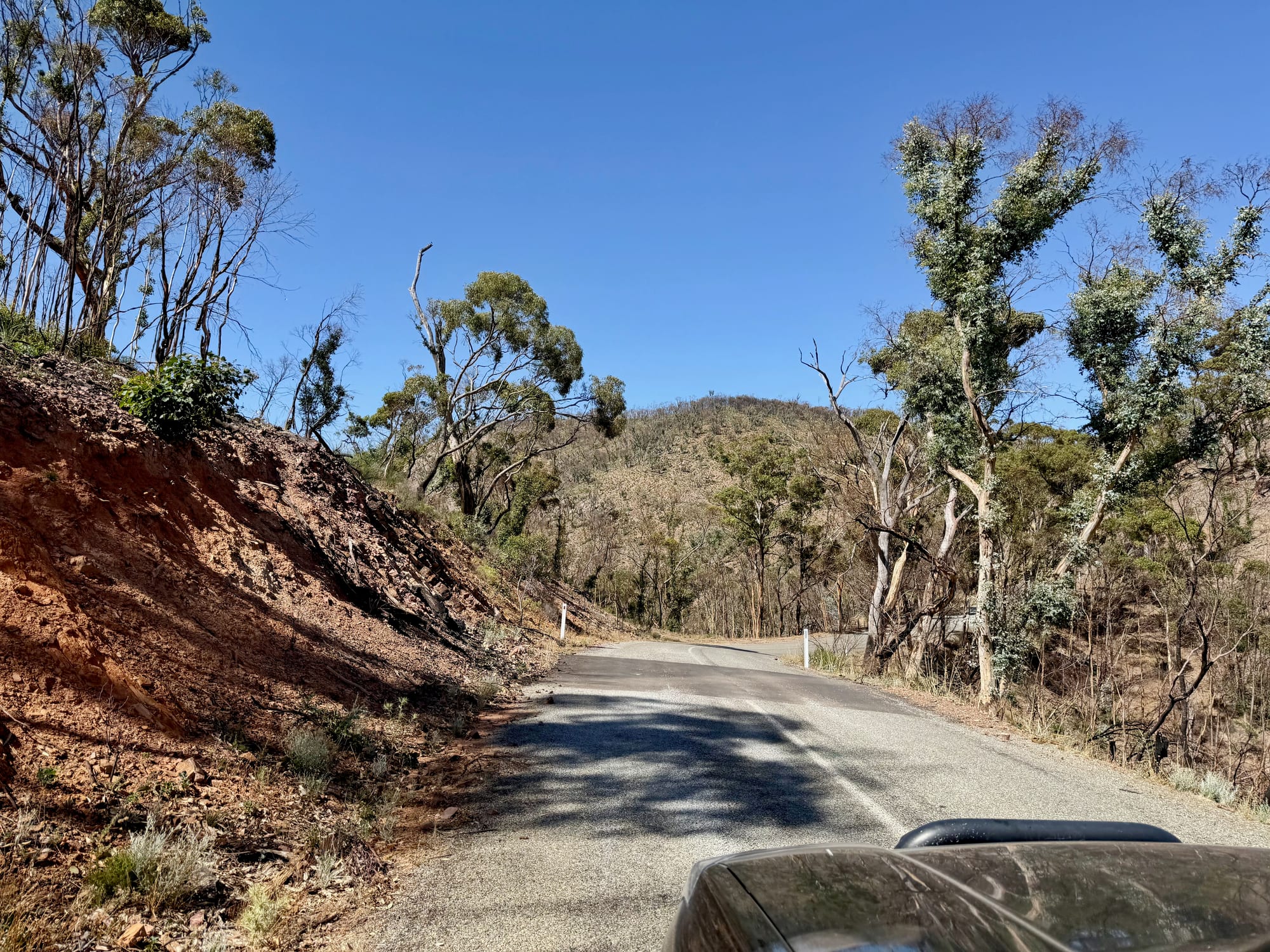
The turn-off is 1 km south of Wilmington on the Main North Road, signed for Mount Remarkable National Park and Alligator Gorge. The road is sealed but very steep and winding, and the park rules out caravans, camper trailers and buses on it, so leave the van in town. We came down from Hawker, with the drive in through black, regrowing bush and the ranges opening out below. Park entry is $14.40 per vehicle, paid online before you arrive.
Lookouts From the Car ParkCar park lookouts
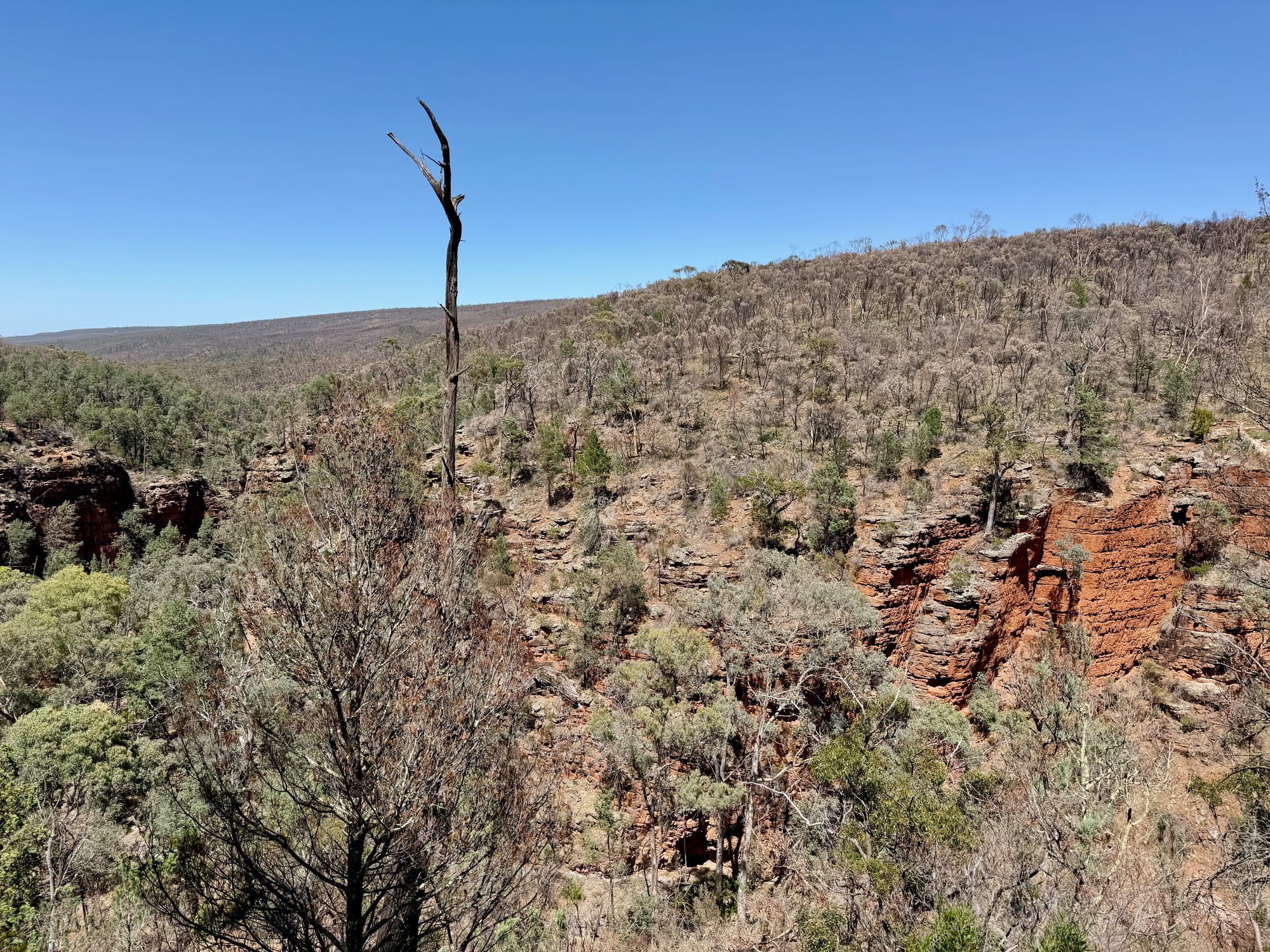
The car park on the rim has portable toilets, picnic tables and the information boards, with the two short lookout walks and the start of the Narrows Hike signed from it. Gorge Lookout, 350 m away, puts the red cliffs of the gorge below you and the Alligator Basin running away towards Mambray Creek. Then the steps start.
Map of the WalksWalk map
The two short lookout walks start at the car park on the rim, and the Narrows Hike drops from there on the steps into the gorge, loops south through the Narrows and climbs back out at Blue Gum Flat, a few hundred metres along the road from the car park. The Alligator Gorge Hike carries on north up the creek from the Terraces, and the Mambray Creek hike heads south from Blue Gum Flat. Here’s how it fits together.
The Narrows Hike
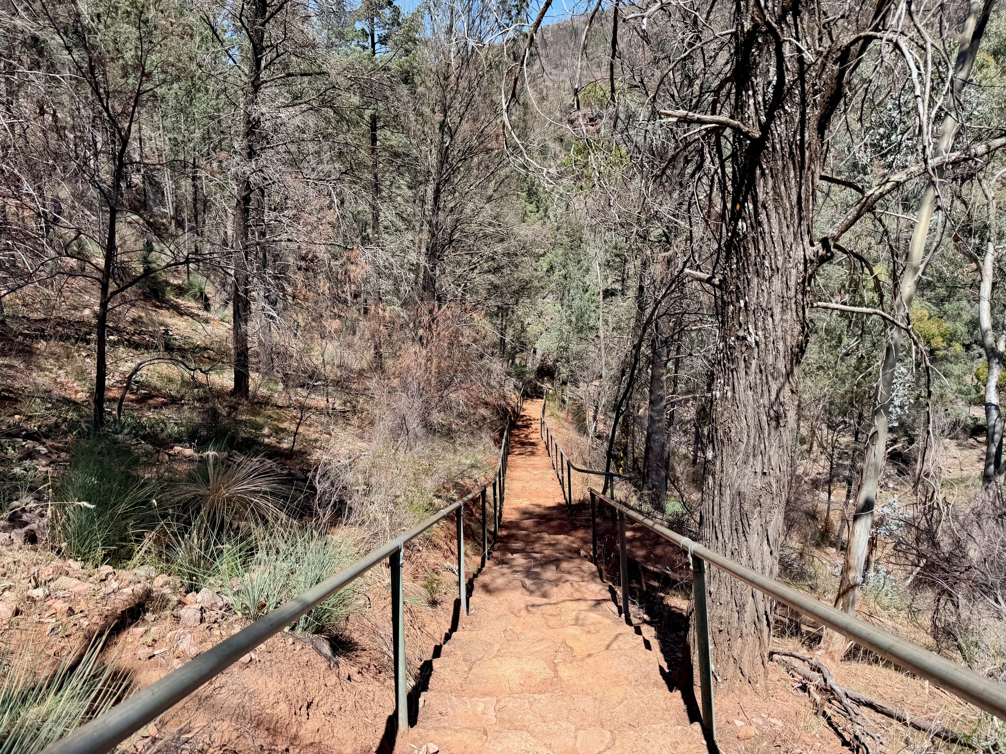
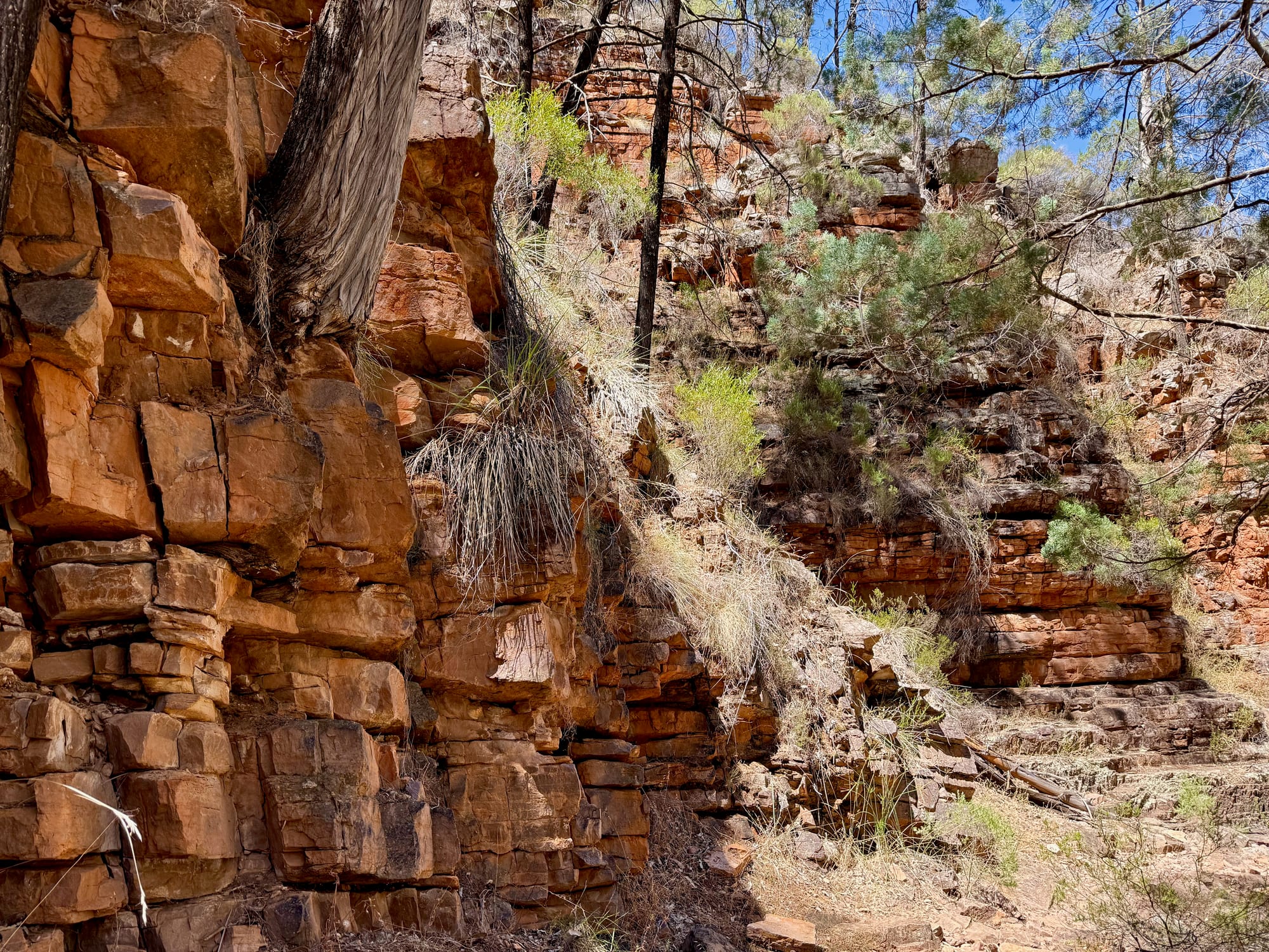
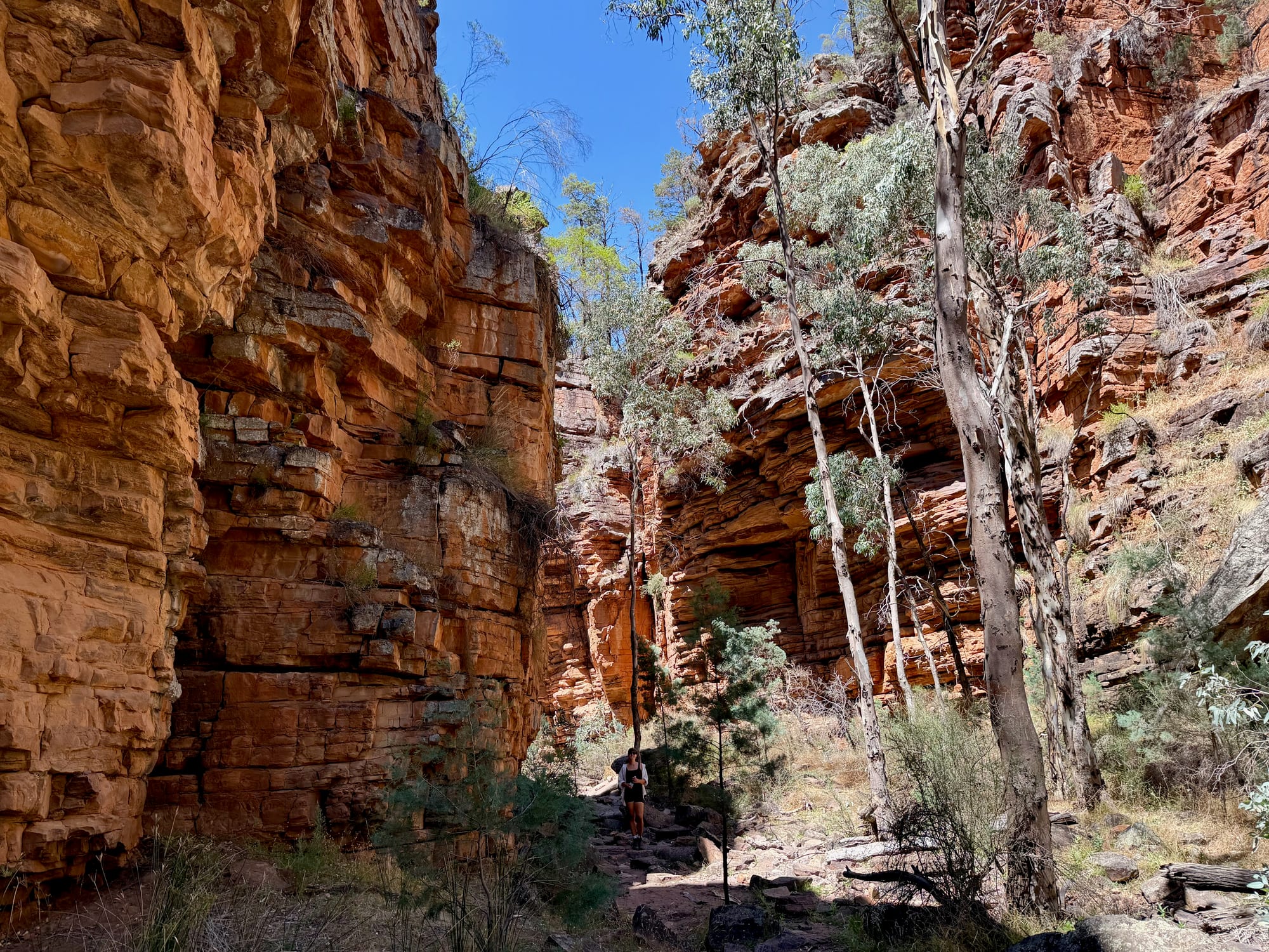
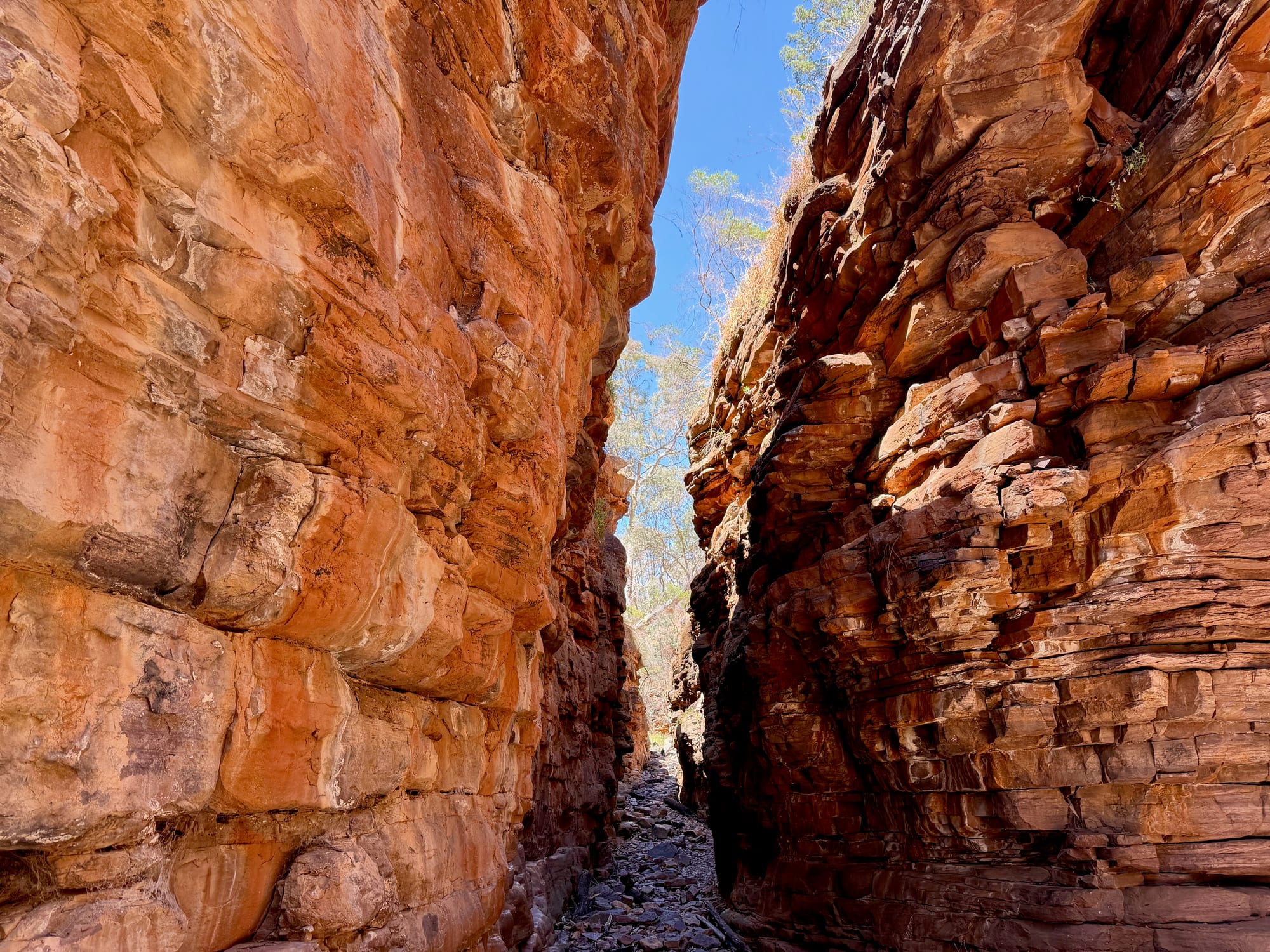
From the lookout the track drops into the gorge on steep steps with a handrail, and at the bottom you’re on the gorge floor with red layered rock on both sides. The board says to look north at the Terraces first, then head south, and the walls close in until you’re in the Narrows: a slot a few metres wide, the rock stacked in bands of red and orange, white-trunked gums growing straight up out of the floor to find the light. It was cool and quiet in there in the middle of a hot day. The floor is rocks and gravel, uneven and slippery after rain, so proper shoes make it easier.
Back via Blue Gum Flat
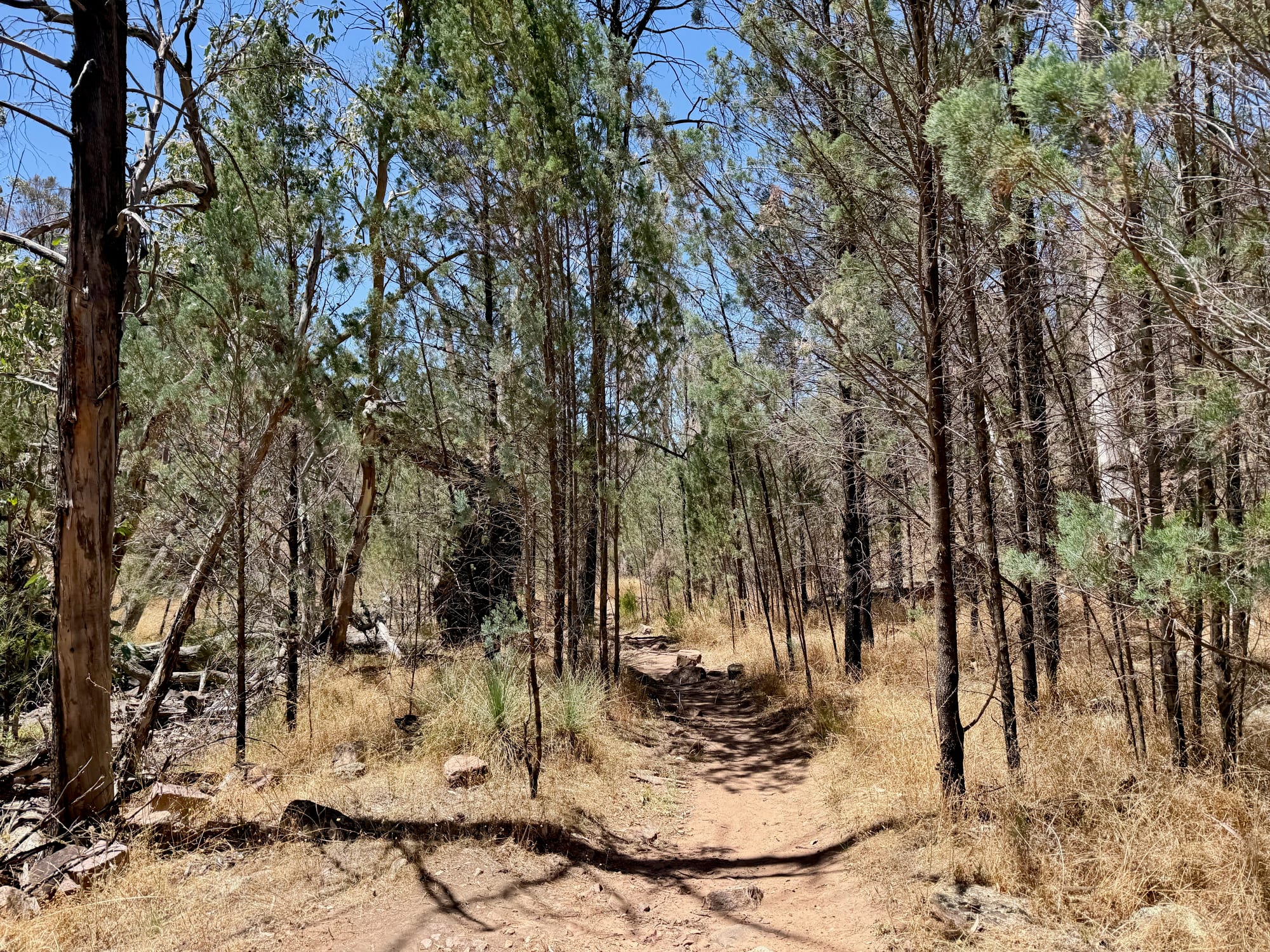
Past the Narrows the gorge opens out and the track climbs out of the creek and back through the regrowing bush to Blue Gum Flat, a picnic area with tables, barbecues and basic toilets under the gums, then a short walk back up to the car park. Allow the full two hours with photo stops, and carry water, as there’s none in the park.
Things to Do NearbyThings to do
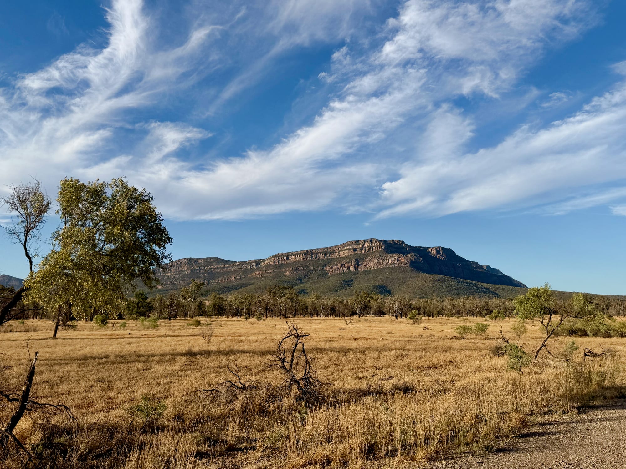
Mambray Creek, the park’s main campground with 49 sites and hot showers, is on the highway side of the park, and the long hikes link the two. Wilmington is the nearest town, and Port Augusta and the highway south are half an hour away. The Flinders Ranges proper, from Wilpena Pound to the gorge drive, are a couple of hours north; see our Flinders Ranges National Park guide. Heading south, the Yorke Peninsula was our next stop, a few hours’ drive via Port Pirie, for white-sand beaches and bush camps.
Summary
Two hours, a steep road and a $14.40 pass for the Narrows, a slot of banded red rock with gums reaching for the sky. The bush above was burnt in 2025 and is coming back; the gorge itself is as good as it gets. Leave the van in Wilmington, bring water and proper shoes, and check the park alerts first.
The best short walk of the trip.
From the car park you drop down steps into Alligator Gorge, look up at the Terraces, then squeeze south through the Narrows, a slot a few metres wide between layered red walls with gums reaching up to the sky, and loop back through Blue Gum Flat. The road in is steep and the bush above the gorge was burnt in 2025, but the gorge itself is untouched and extraordinary.
- Hikers
- Families
- Travellers
Yes. The Narrows alone are worth the detour from the highway, it’s two hours on a signed loop, and it’s included in the $14.40 park entry.
Recommended Gear for Alligator Gorge
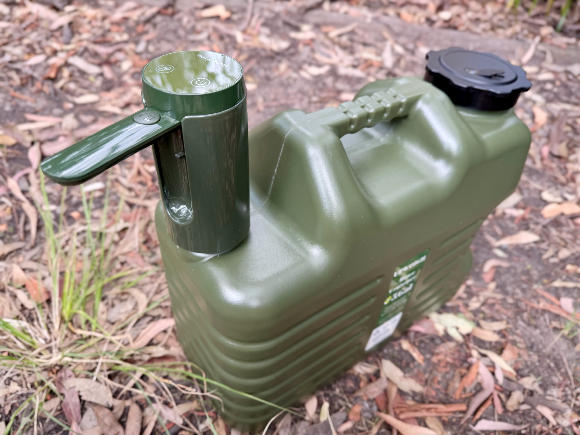
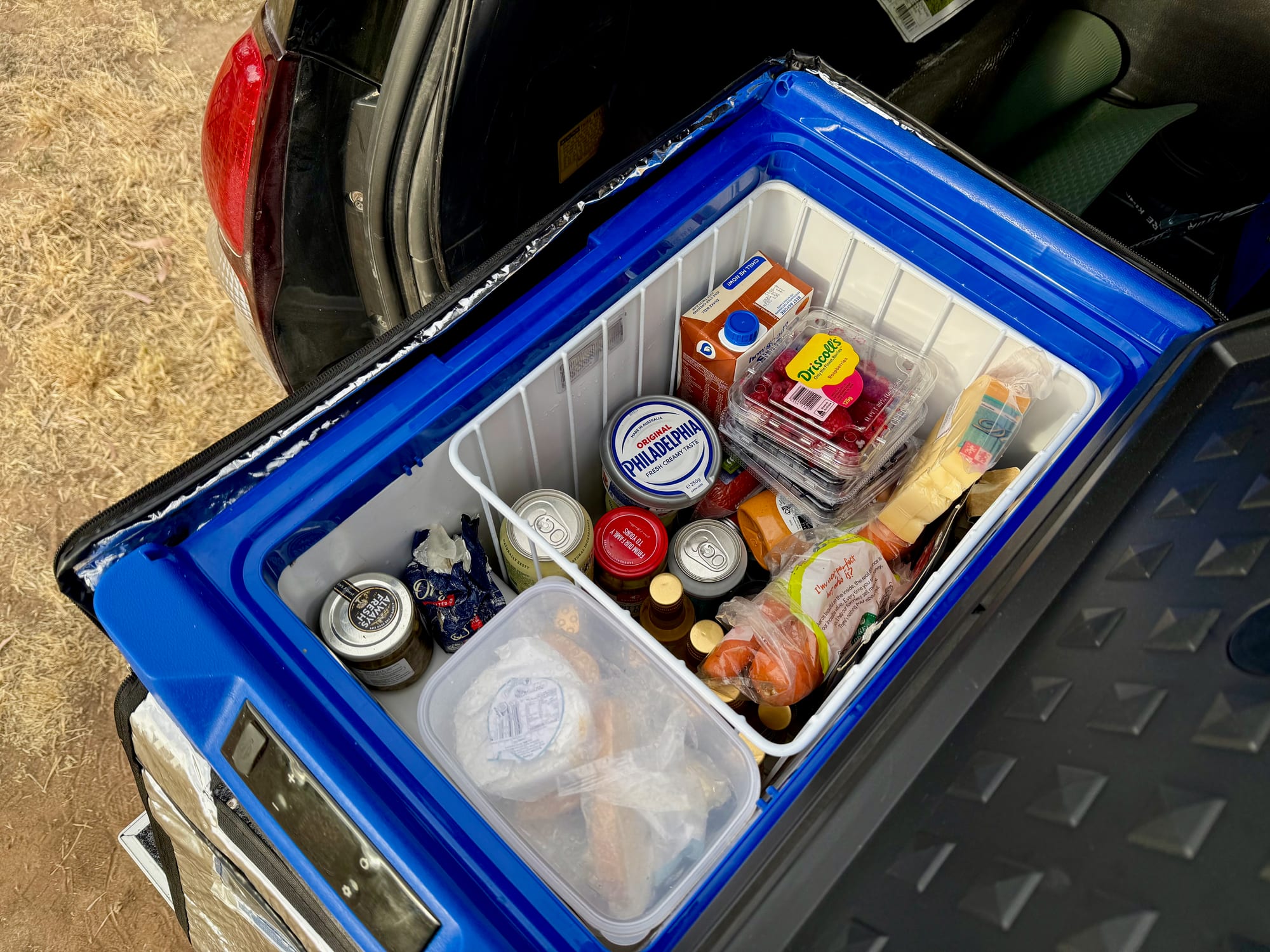
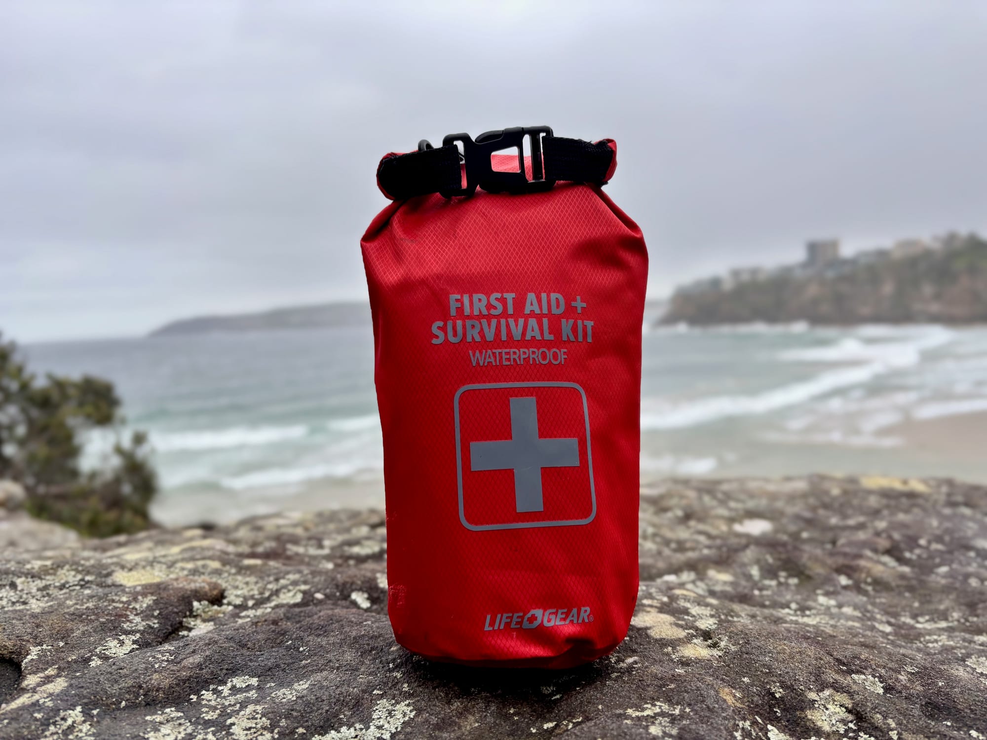
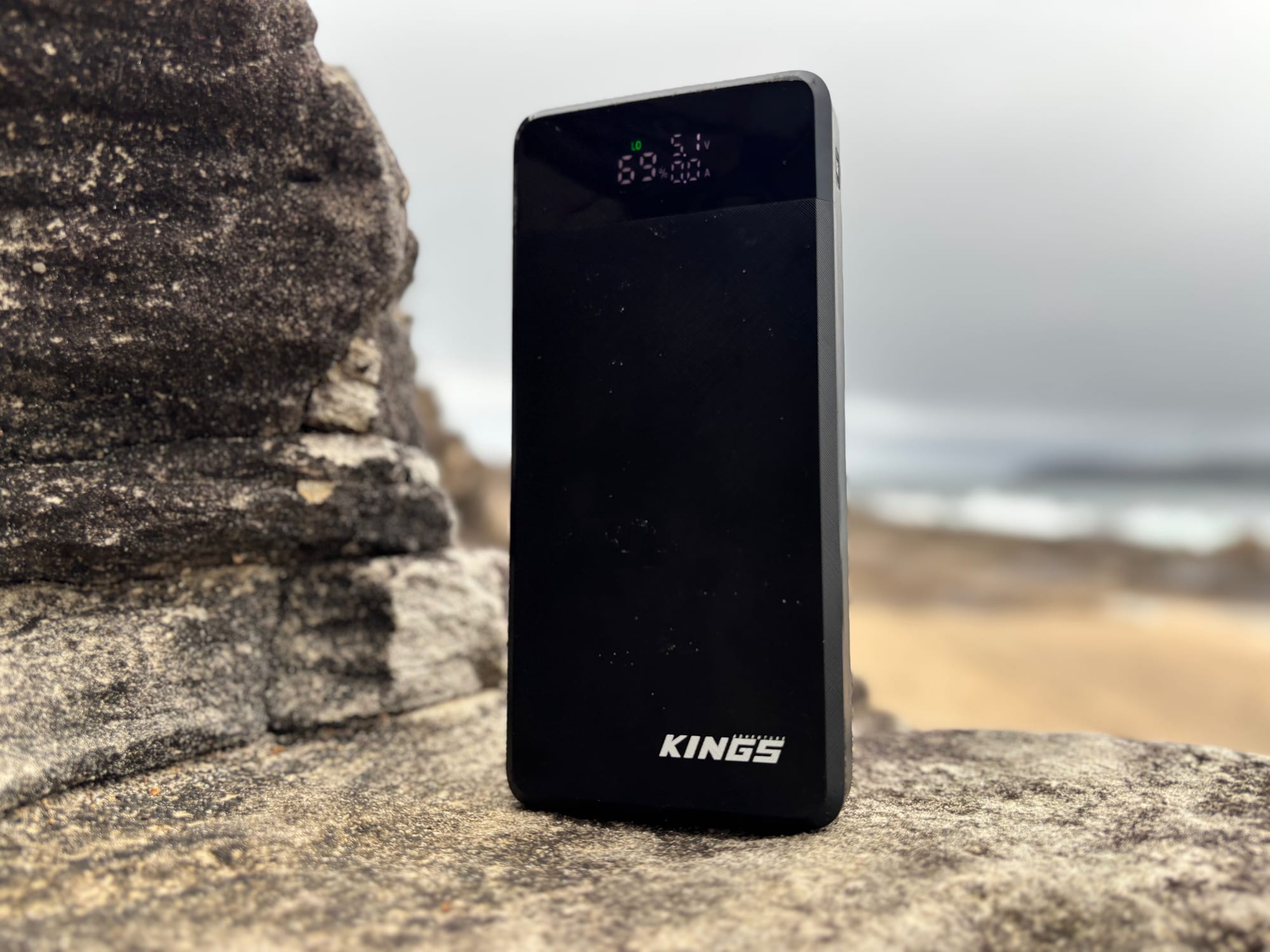
There’s no water in the park, so carry it down in a good water container, and keep cold drinks waiting in a camping fridge in the car. A first aid kit belongs in the pack on a rocky gorge floor, and a power bank keeps the phone charged for the photos you’ll take in the Narrows.