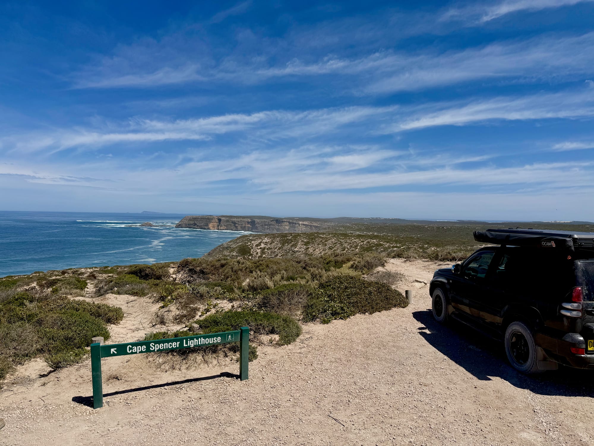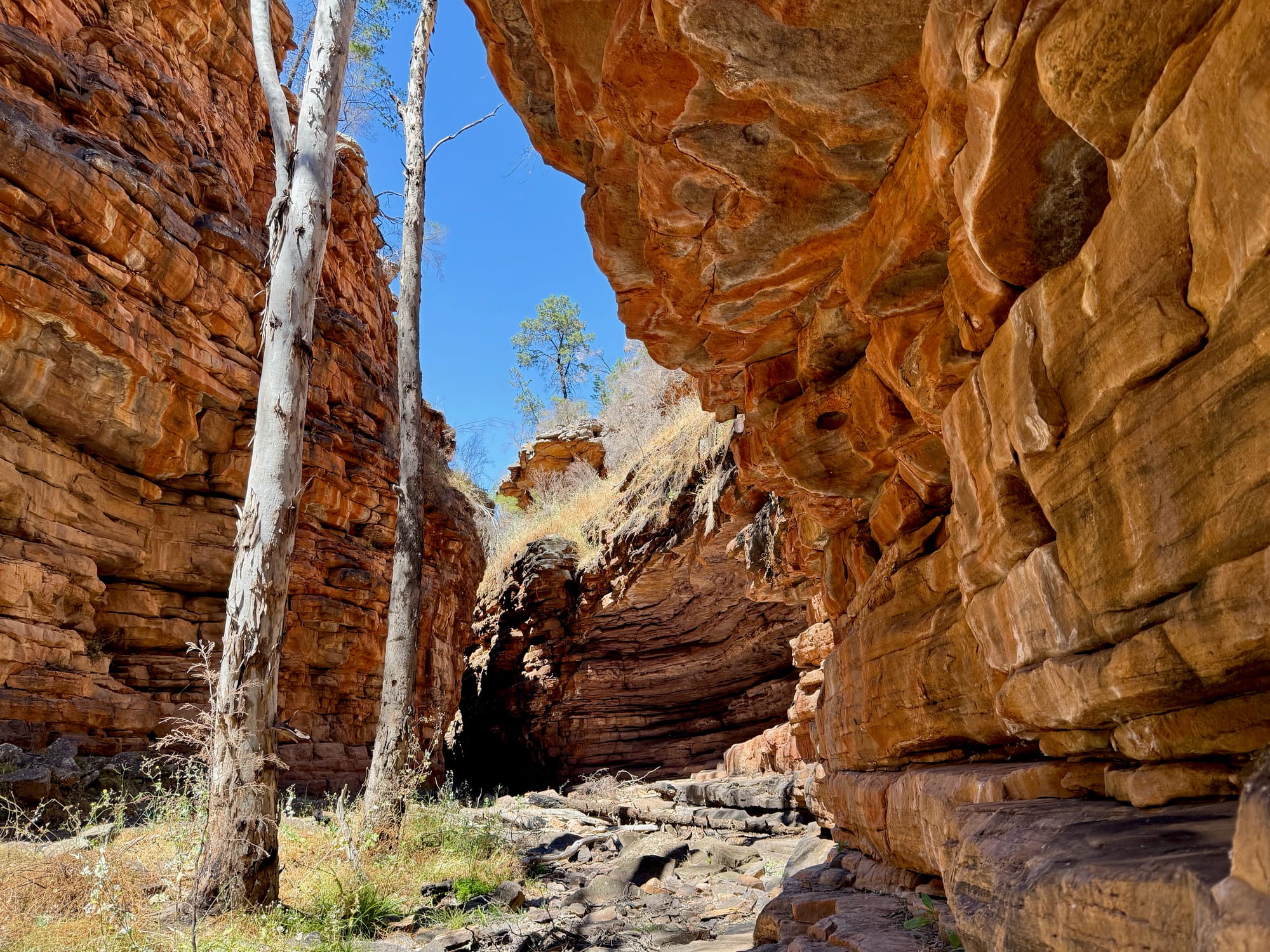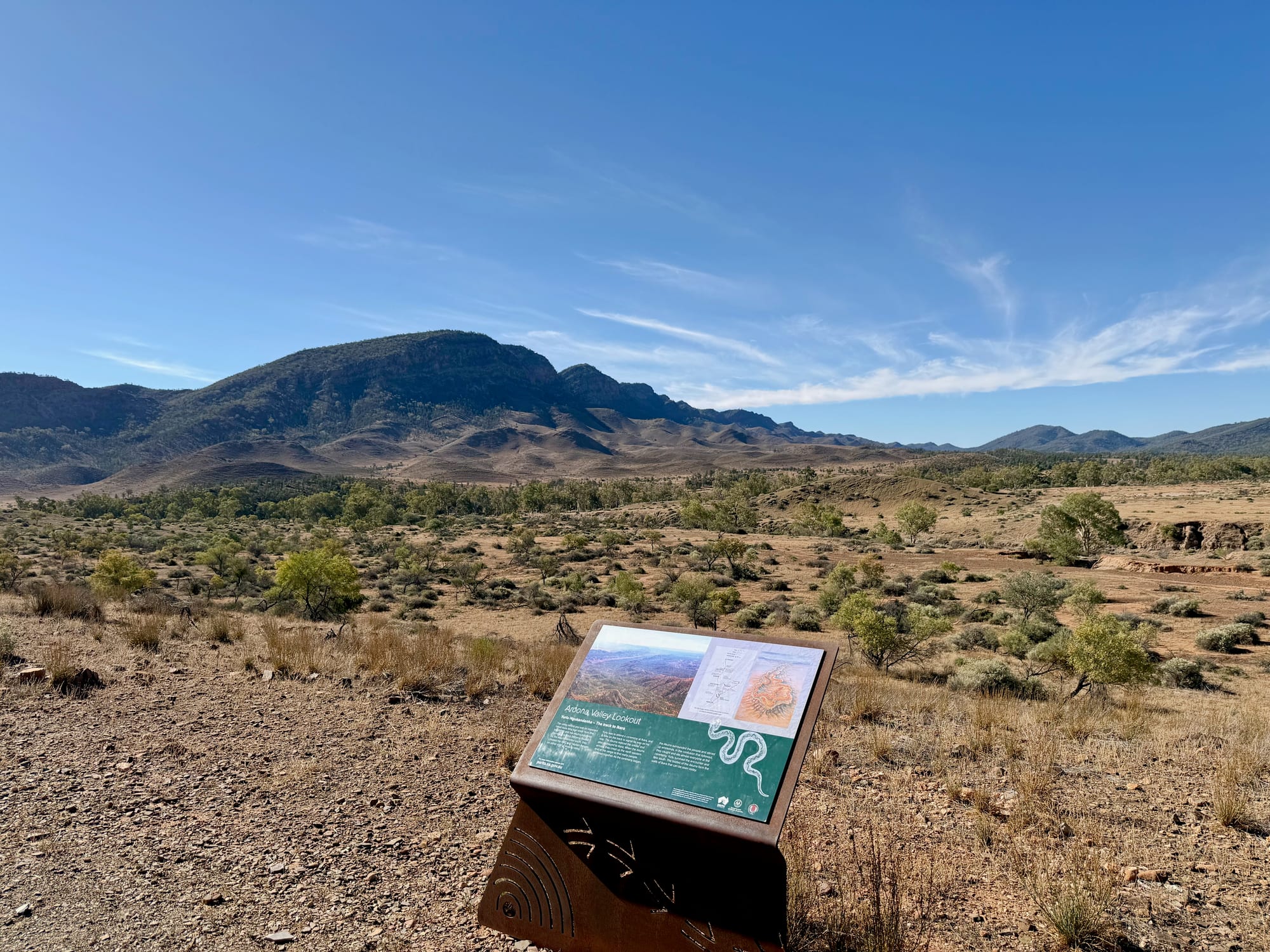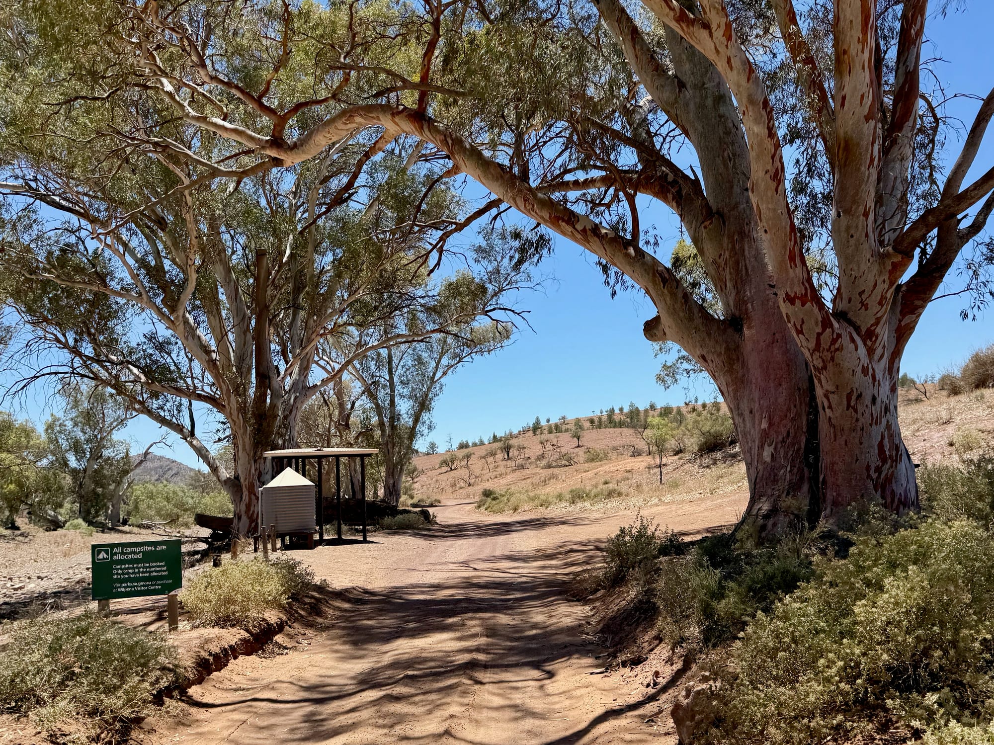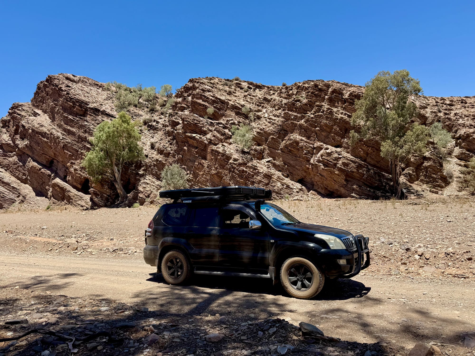
This was the big day of our stay at Wilpena Pound: north up the Flinders Ranges Way, west over Razorback Lookout and down through Bunyeroo Gorge, then the Brachina Gorge Geological Trail out to the Outback Highway, and back round by the Prairie Hotel, Parachilna Gorge and Blinman to a night at Acraman Campground. A full day of unsealed roads, red gorges, river red gums and a yellow-footed rock-wallaby, and the next morning the sunrise from Razorback Lookout, the best thing we’ve done in Australia so far.
What we like
- Razorback Lookout is unforgettable
- Red gorges and river red gums
- We saw a yellow-footed rock-wallaby
- Geology signs along the trail
- Bush camps along the way
- Loops back via the Prairie Hotel
What we don’t
- Rough, corrugated in places
- No water or shade; very hot
- A long day; camp out to break it
About the Bunyeroo and Brachina Gorge DriveAbout
The two gorges cut west through the ranges north of Wilpena Pound. The Bunyeroo Gorge Scenic Drive leaves the sealed Flinders Ranges Way and climbs over the Razorback before dropping through Bunyeroo Gorge to a junction with the Brachina Gorge road. From there the Brachina Gorge Geological Trail runs 20 km west to the Outback Highway, through 130 million years of earth history, with signs at each rock formation along the way. The gorge is a refuge for the yellow-footed rock-wallaby, and there are bush camps and toilets along the road.
Everything is unsealed from the turn-off, and the park lists it as fine for a high-clearance 2WD, caravans and trailers in dry weather. There’s no water, fuel or shade, and phone coverage is limited, so leave Wilpena with a full tank, plenty of water and the walk maps from the visitor centre.
Quick facts
- AddressBrachina Gorge, Ikara-Flinders Ranges National Park, SA, AustraliaSee on the trip map →
- Phone receptionNo reception
- FacilitiesLookoutsScenic DrivesInterpretive SignsCampingToiletsPicnic TablesWildlife ViewingNo Drinking WaterNo FuelNo Pets
- Good to knowUnsealed, 2WD in the dryAllow a full dayDrive the trail east to west
- FeesIncluded in the $14.40 park entry per vehicle
- 9.0/10Overall rated
Map of the Gorge DriveRoute map
The loop starts a few kilometres north of Wilpena, where the Bunyeroo Gorge Scenic Drive leaves the sealed Flinders Ranges Way. It climbs past Bunyeroo Valley Lookout and the Razorback, drops through the gorge past the Acraman and Cambrian turn-offs to the Brachina Gorge Road, and the geological trail then runs west through the gorge, past Brachina East and Teamsters, to the Outback Highway. Turn east at the junction instead and the Brachina road takes you past Trezona, Youngoona and Aroona Valley Lookout to Blinman. Here’s how it fits together.
Getting There
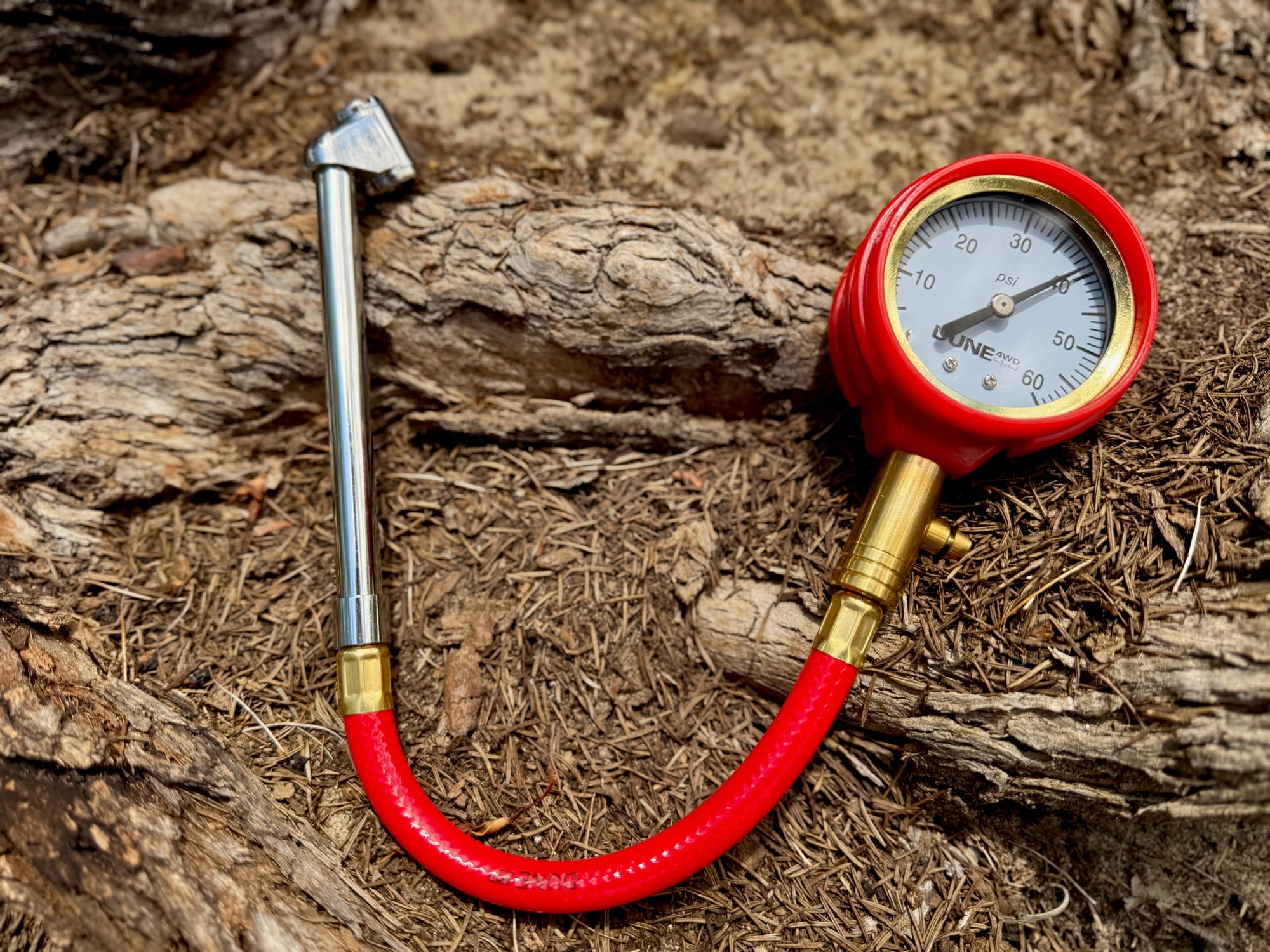
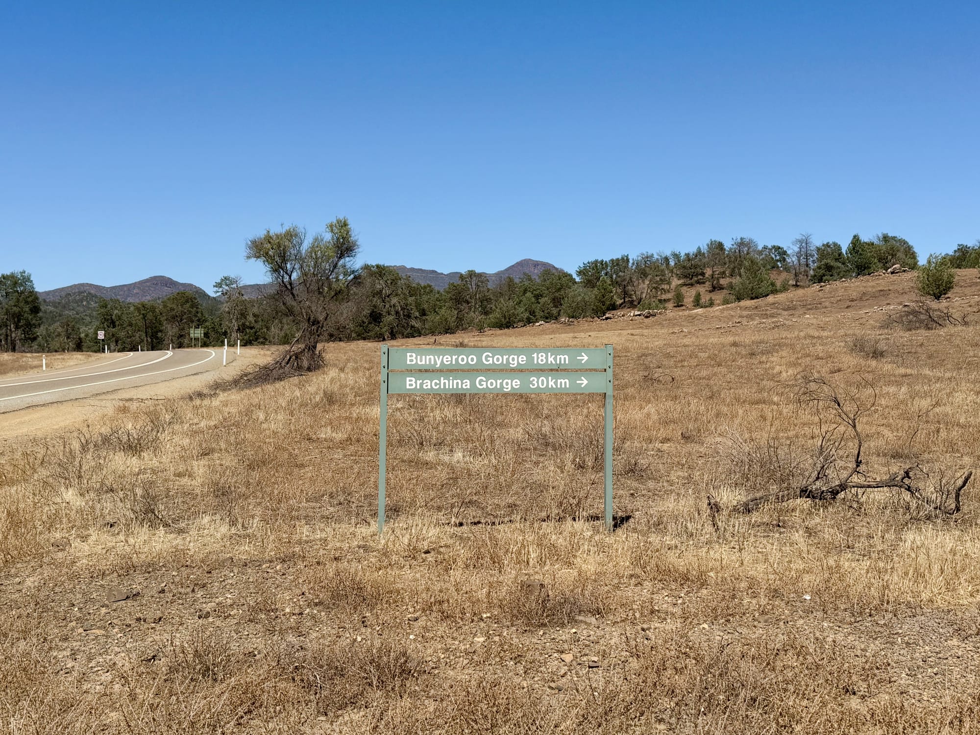
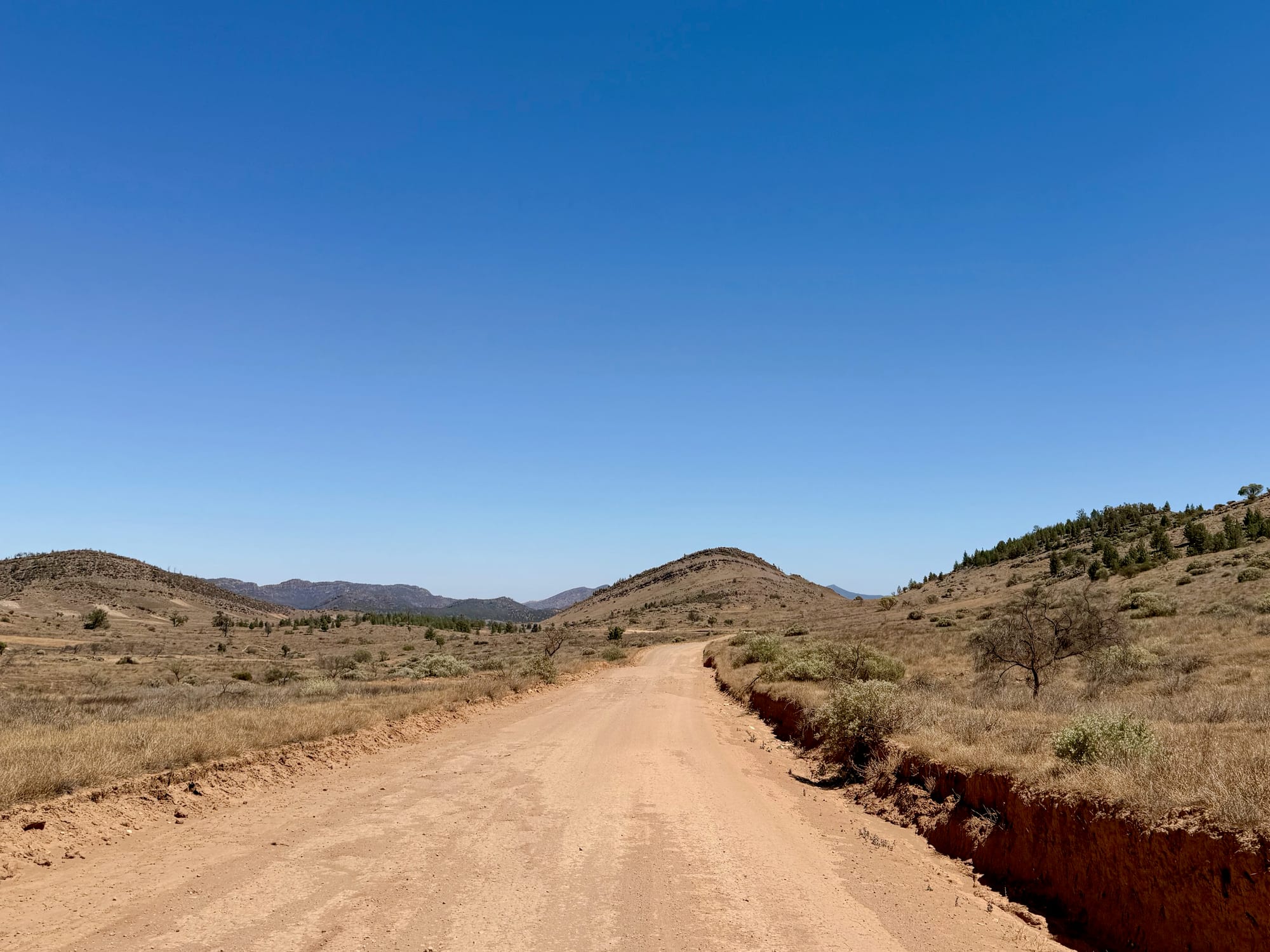
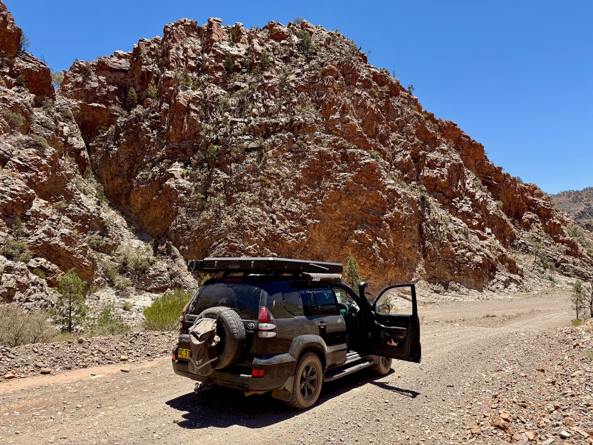
From Wilpena Pound, drive north on the sealed Flinders Ranges Way and turn left at the Bunyeroo Gorge Scenic Drive sign, which gives 18 km to Bunyeroo Gorge and 30 km to Brachina Gorge. The road turns to red dirt straight away and winds through open valleys of native pine and dry grass, with the ranges closing in ahead. We dropped our tyre pressures at the turn-off and pumped them back up at the Outback Highway at the far end.
Bunyeroo Valley and Razorback LookoutsBunyeroo Valley and…
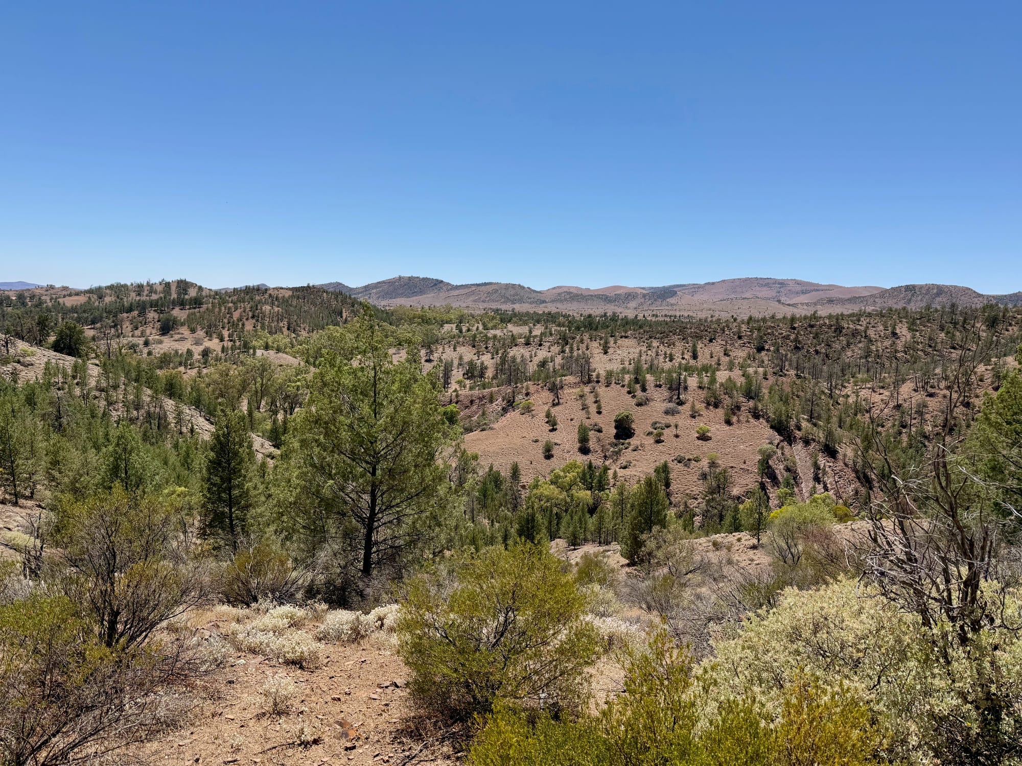
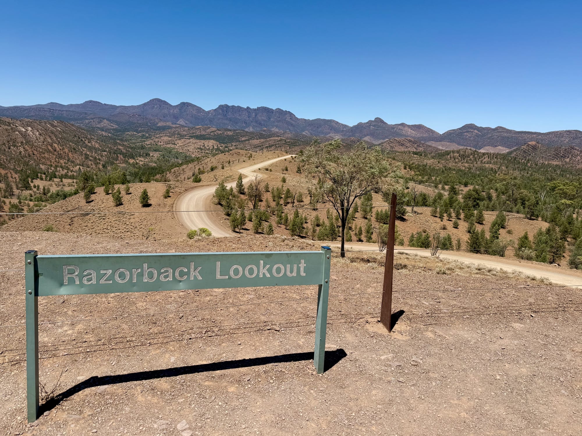
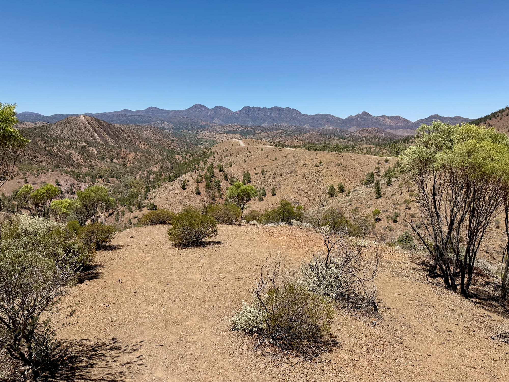
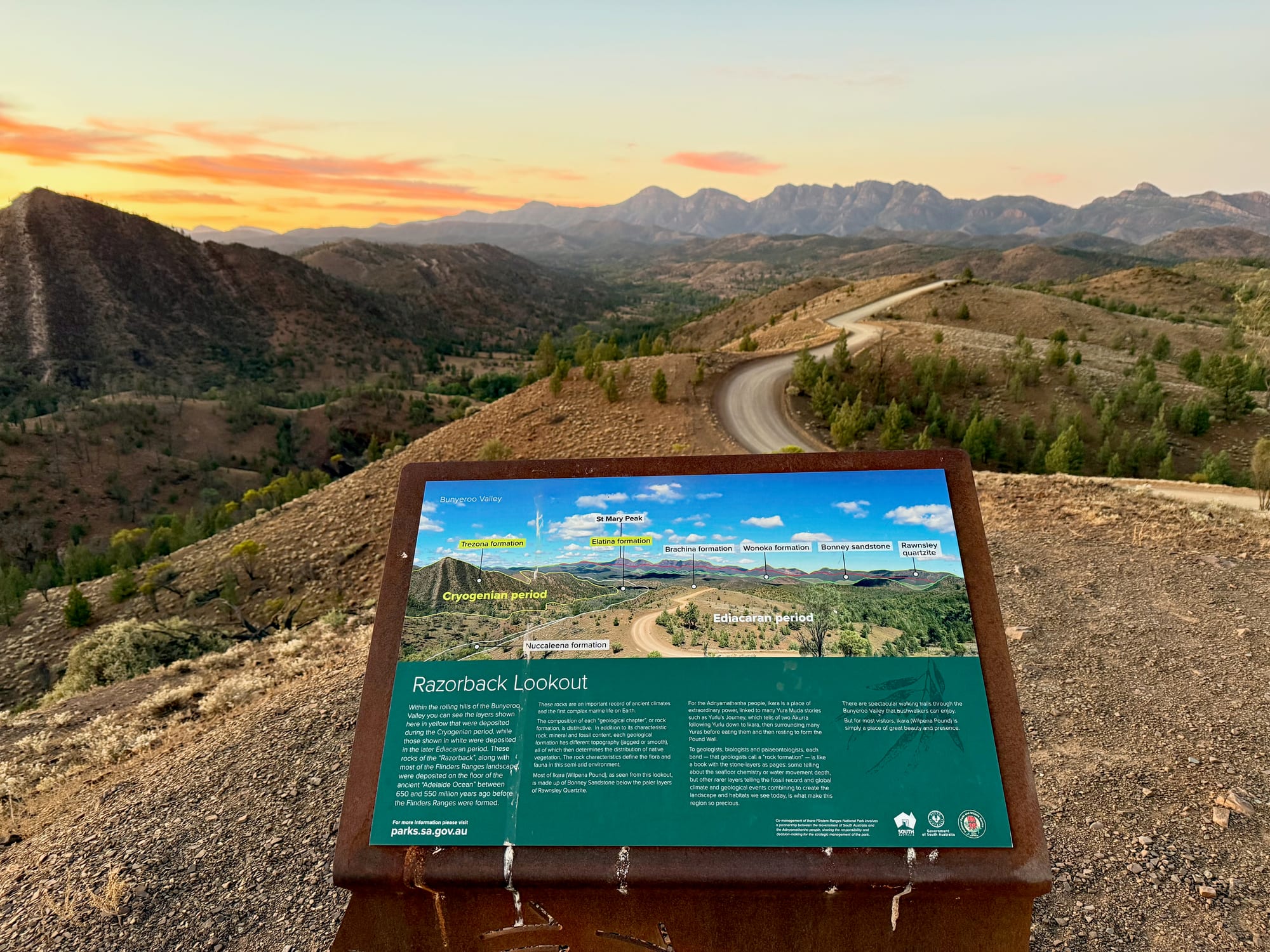
The first stop is Bunyeroo Valley Lookout, a signed pull-off with benches and a view over the valley to the ranges. A few kilometres on, the road climbs onto the Razorback, and Razorback Lookout is the photo everybody takes: the road snaking down the ridge below you into the gorge, with the Heysen Range stacked up blue behind it. There’s no shade at either, and it was very hot, so we didn’t linger, but the Razorback alone is worth the drive.
Through Bunyeroo Gorge
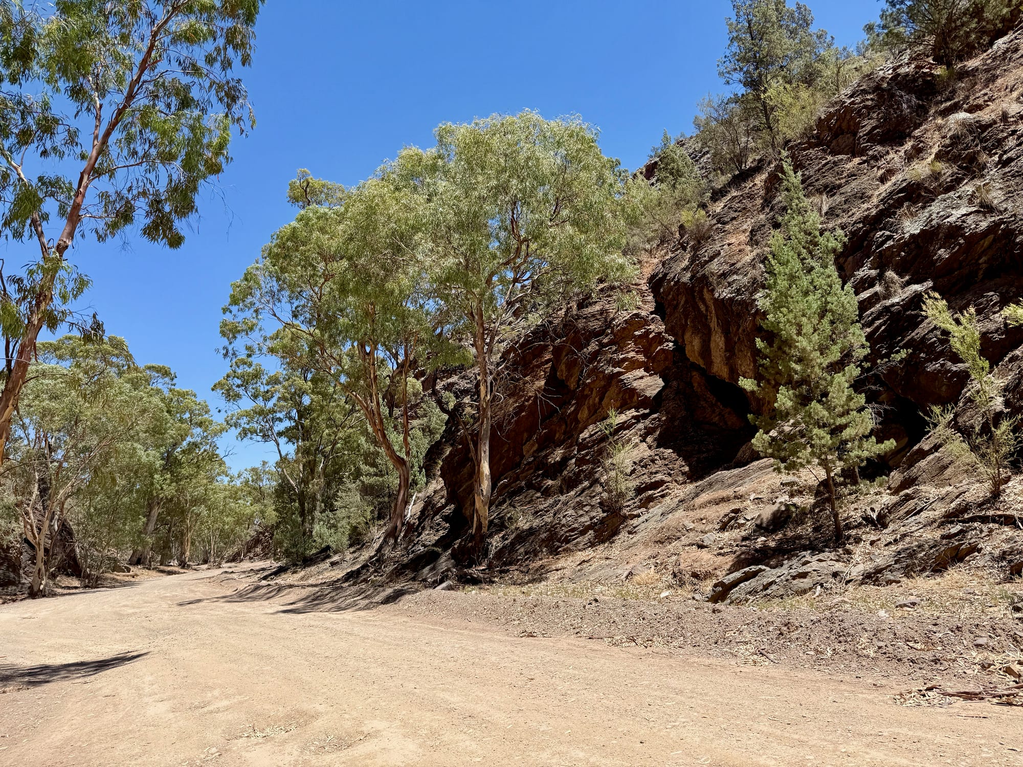
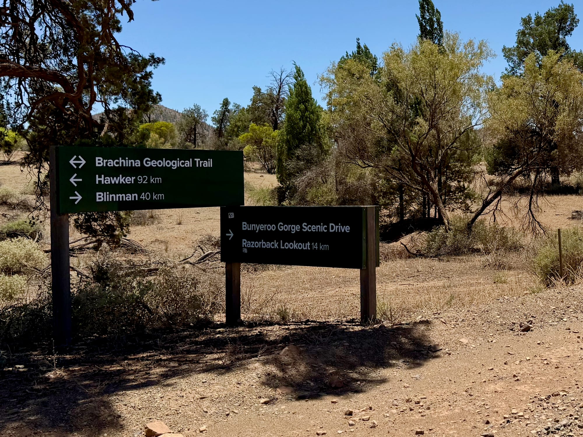
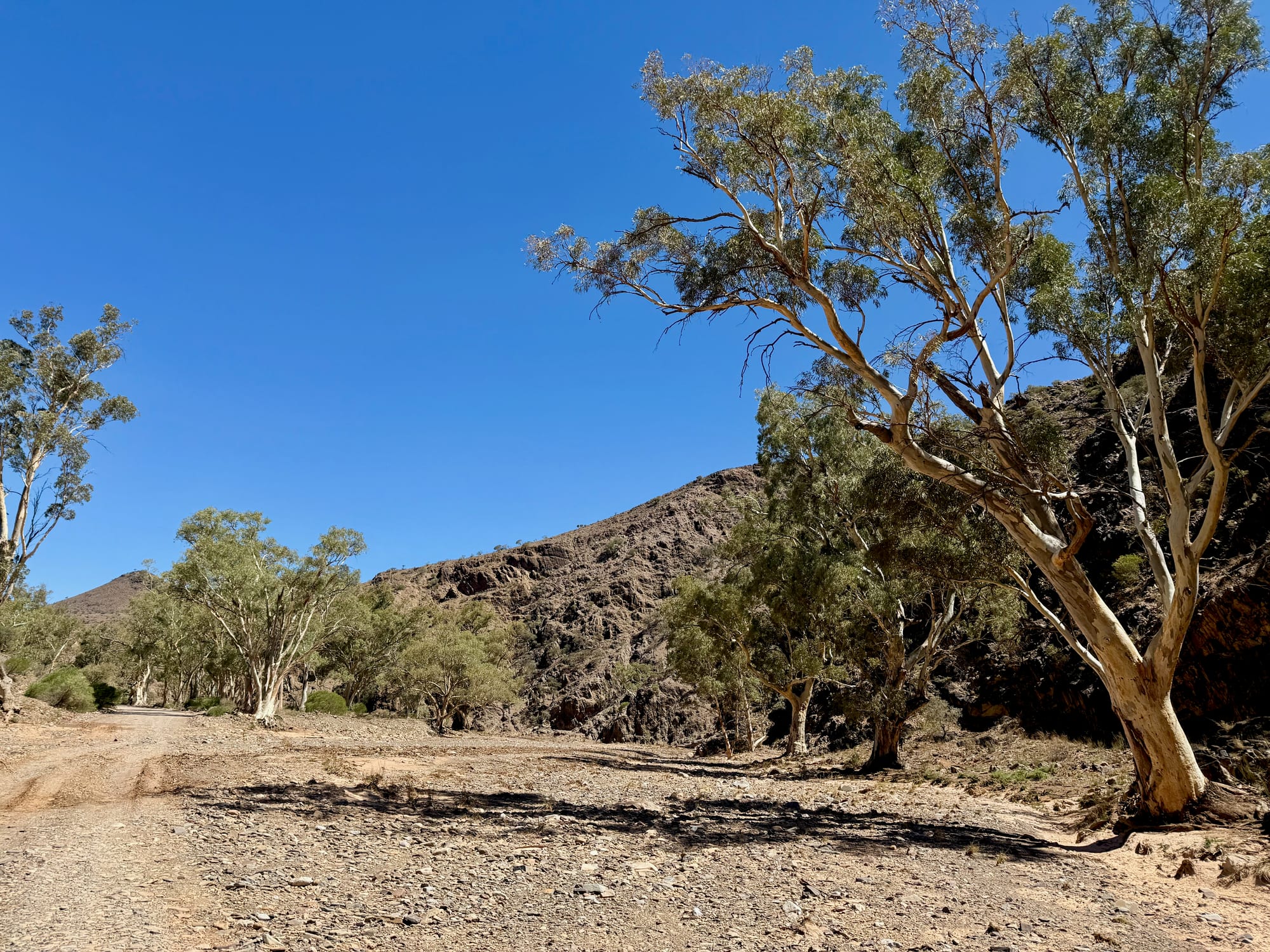
From the Razorback the road drops into Bunyeroo Gorge, and the country changes completely: red rock walls, river red gums along the dry creek, and the road crossing the creek bed again and again. It’s slow going but easy in the dry. The gorge ends at a junction with the Brachina Gorge road, where the signpost gives Hawker 92 km to the left and Blinman 40 km to the right, with the Brachina Geological Trail straight on.
Brachina East Campground
Just past the junction is Brachina East Campground, a string of bush camps along the creek among the red gums, with hills on both sides, and Cambrian Campground sits at the northern end of the Bunyeroo road beside it. The board shows small, medium and large sites, each camp with toilets and a self-registration station, and a 4WD-only group of sites further along the creek. You book and pay online before you set up, and the fire rules are strict: gas only from November to mid April, all fires in the designated pits the rest of the year, nothing on Total Fire Ban days, and no generators. We only drove through, but it looked like a good place for a quiet night between the gorges.
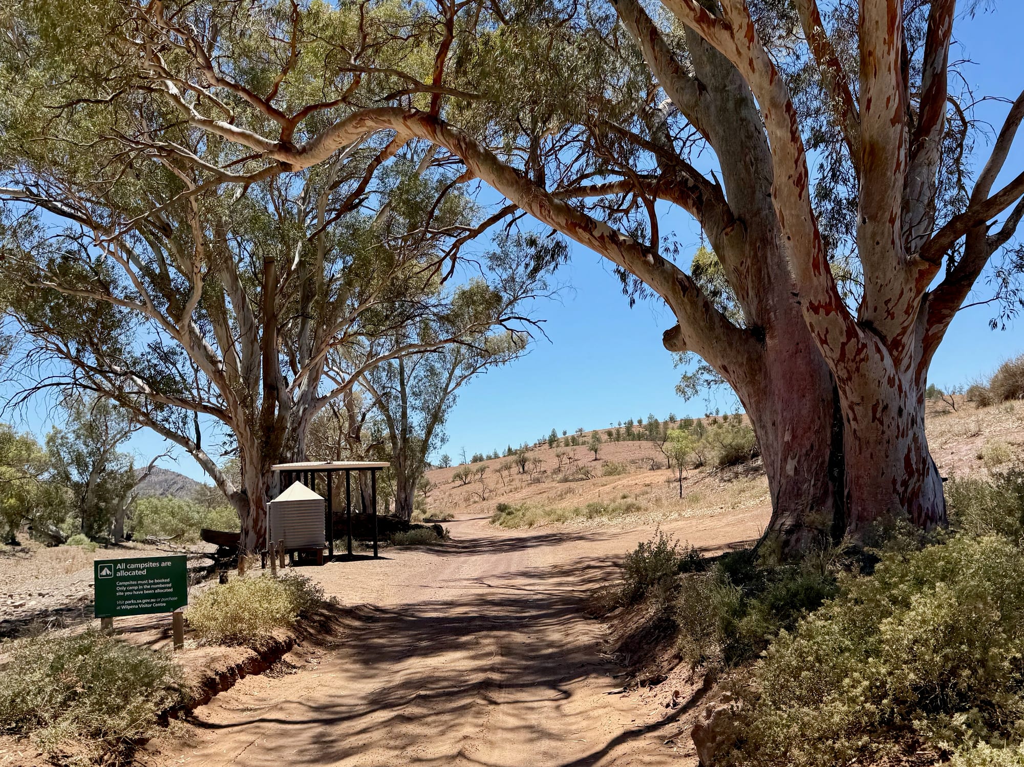
The Brachina Gorge Geological TrailThe Brachina Gorge…
West from the campground the geological trail begins, and this is where the rock takes over. The signs mark each formation as you drive through it, from the Wonoka Formation and its “carbon mystery” to the Brachina Formation, and the walls of the gorge are tilted and folded so steeply that the layers stand on end beside the road. It’s best driven east to west, as we did, so the signs run in order.
Partway along is the rock-wallaby viewing area at a scree slope, with the Yellowfoot’s Tale board telling the story of the yellow-footed rock-wallaby. We had the best luck of the day a bit further on, with a rock-wallaby sitting on the rocks right beside the road in the middle of the day, yellow feet, striped tail and all.
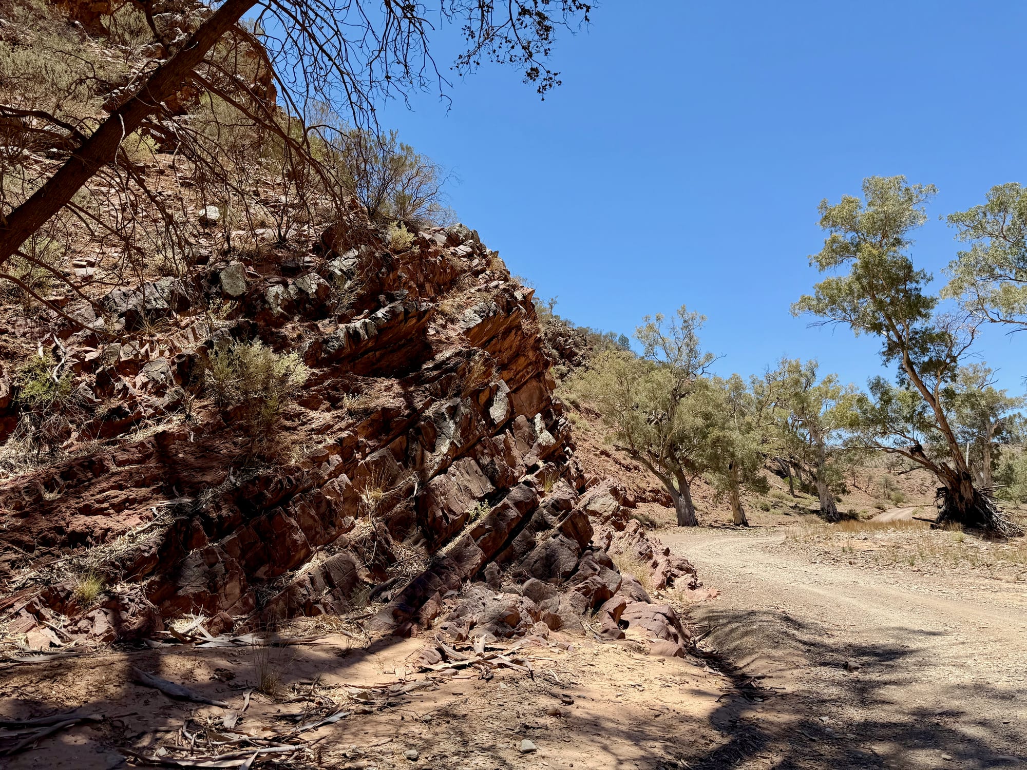
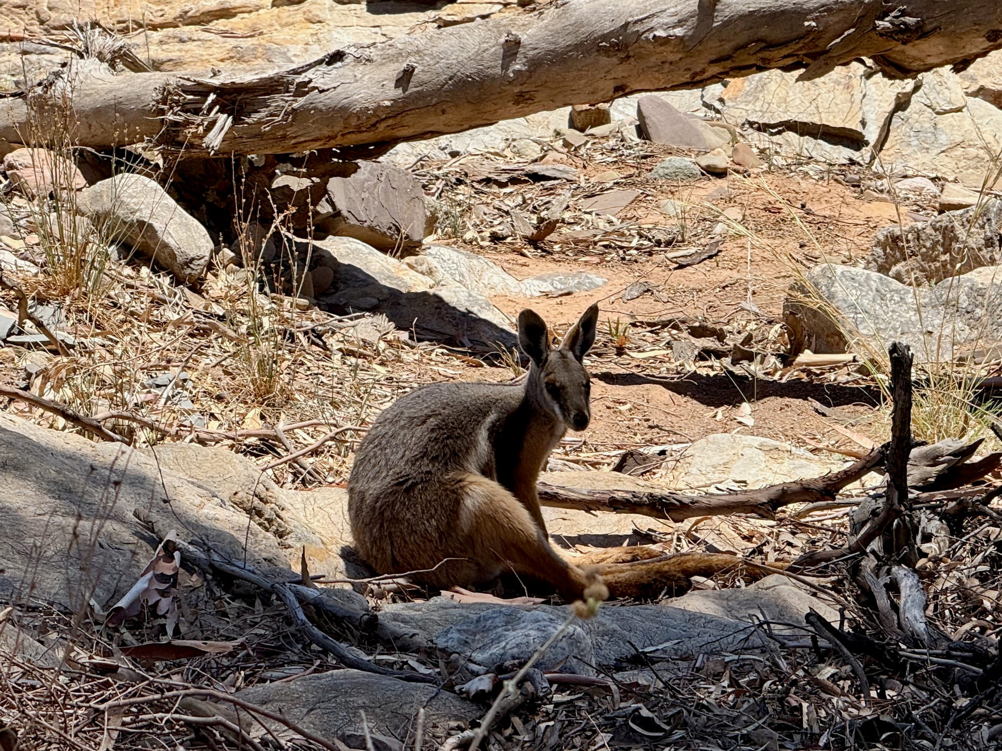
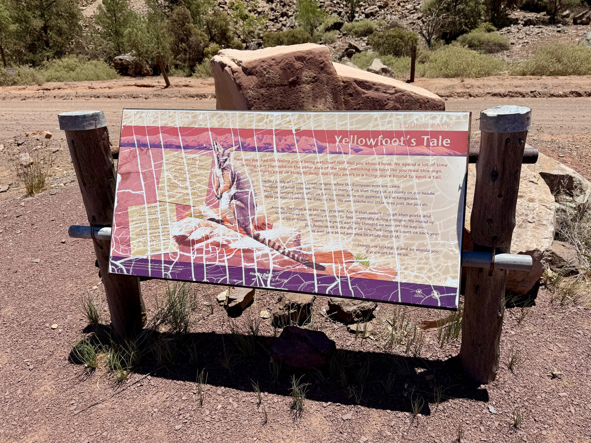
Towards the western end of the gorge is Teamsters Campground, six sites on the flats beside the creek with the gorge walls on both sides. We drove in for a look and wished we were staying.
Out to the Highway, Parachilna and BlinmanOut to the Highway…
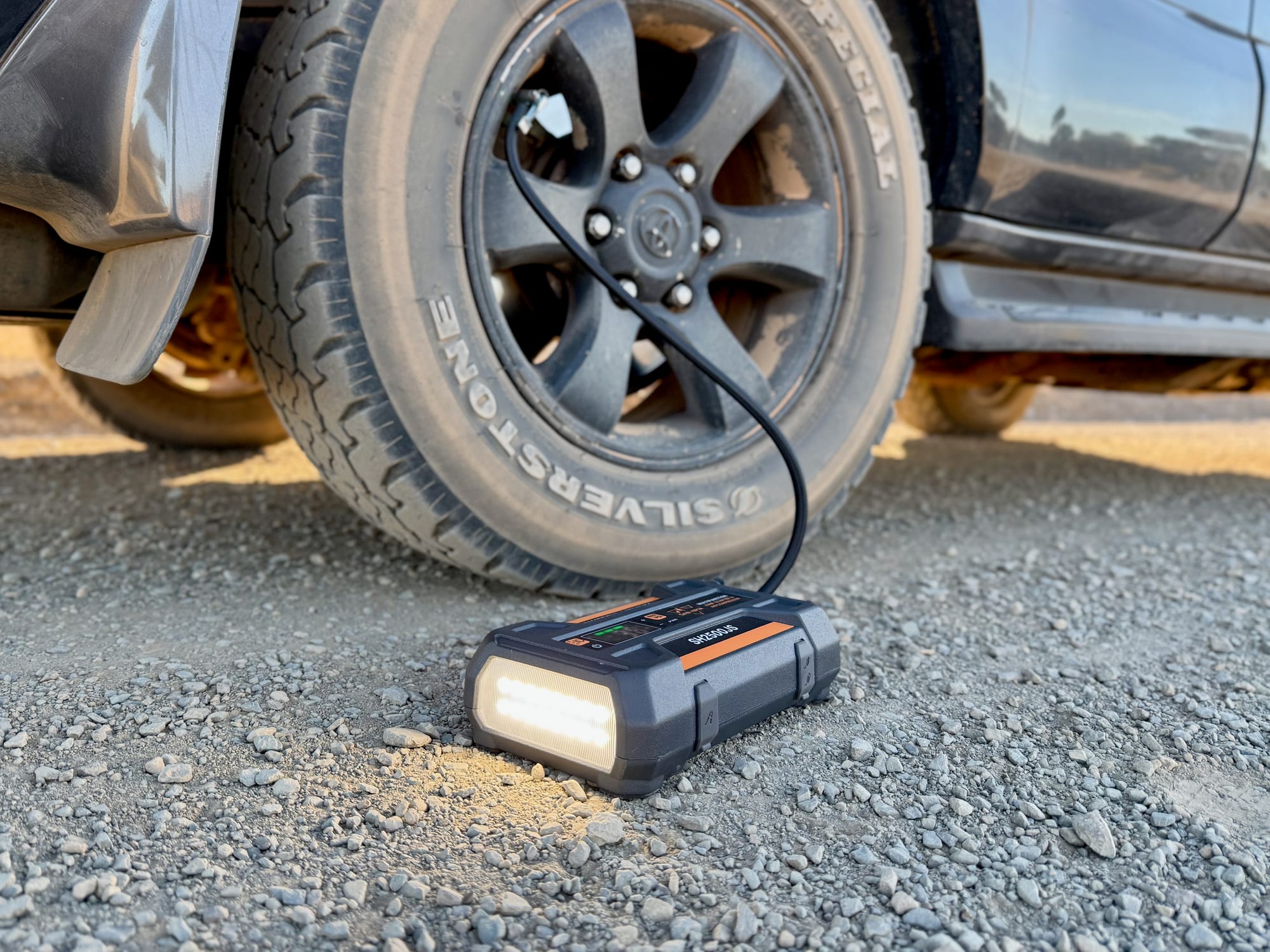
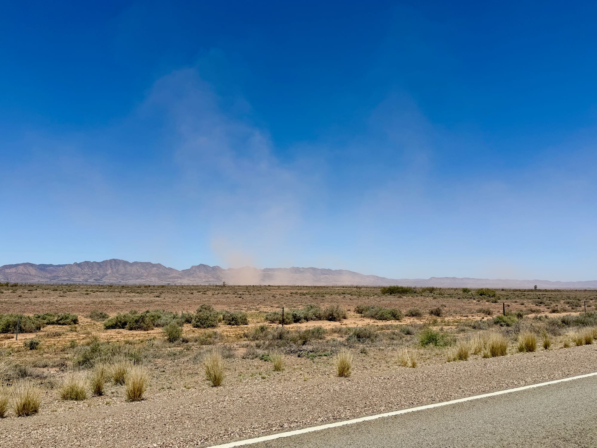
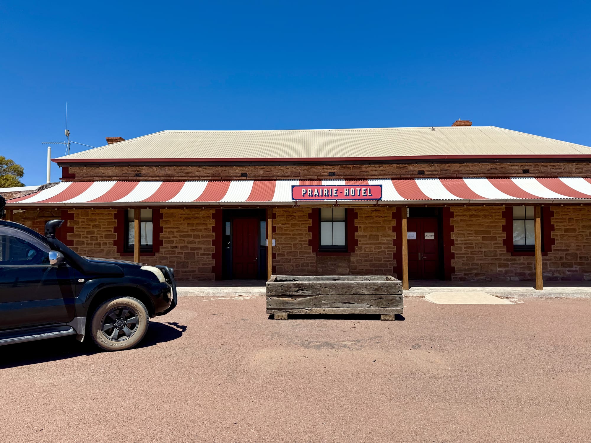
The gorge opens out onto the plain and the gravel runs 12 km to the sealed Outback Highway, where we pumped the tyres back up. We turned north, watched a dust devil spin across the plain, and stopped at Parachilna for the Prairie Hotel, the famous outback pub with its red and white verandah. After a quick stop at the pub we continued east to Blinman through Parachilna Gorge, which is gravel again, with river red gums along the creek and the ranges closing in. From Blinman you can take the sealed Flinders Ranges Way straight back south to Wilpena past Hucks and Stokes Hill lookouts. We turned back onto the Brachina road instead, past the Aroona Valley turn-off and the Youngoona and Trezona bush camps, and ended the day at Acraman Campground, a four-site camp off the Bunyeroo road, completely off-grid.
Sunrise on the Razorback
Camping at Acraman put us ten minutes from Razorback Lookout, so we were back on the ridge before dawn the next morning, and then at Bunyeroo Valley Lookout just down the road as the sun came over the hills. The road snaking down into the gorge, the Heysen Range turning orange and nobody else there: it was the best thing we’ve done in Australia so far, and it has its own post.
Summary
If you only have one full day in the Flinders Ranges, make it this one. Razorback Lookout, the red gorges, the geology trail and a rock-wallaby on the rocks, all on roads a careful 2WD can handle in the dry, a stop at the Prairie Hotel, and if you can, a night at Acraman so you’re on the Razorback for sunrise. The rest of the park is in our Flinders Ranges National Park guide.
The best day of the Flinders Ranges.
From Razorback Lookout the road snakes down into Bunyeroo Gorge, then the Brachina Gorge Geological Trail runs out west through 130 million years of tilted red rock, with a yellow-footed rock-wallaby if you’re lucky. Loop back through Parachilna and Blinman, camp at Acraman, and be back on the Razorback for sunrise.
- 4WD tourers
- Campers
- Travellers
Yes. It’s included in the park entry, the roads suit a high-clearance 2WD in the dry, and the gorges and Razorback Lookout are the best scenery in the park.
Recommended Gear for the Gorge Drive
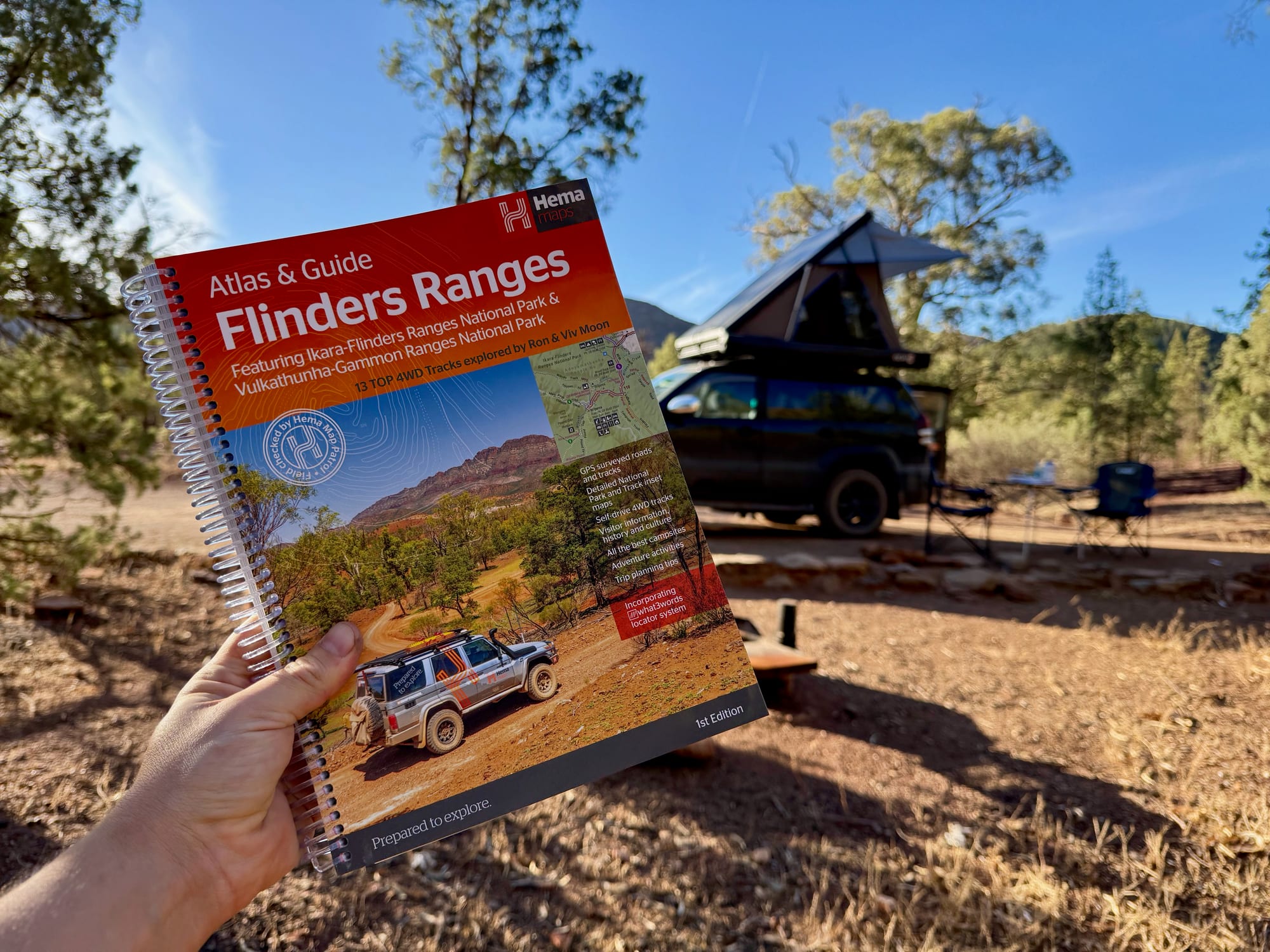
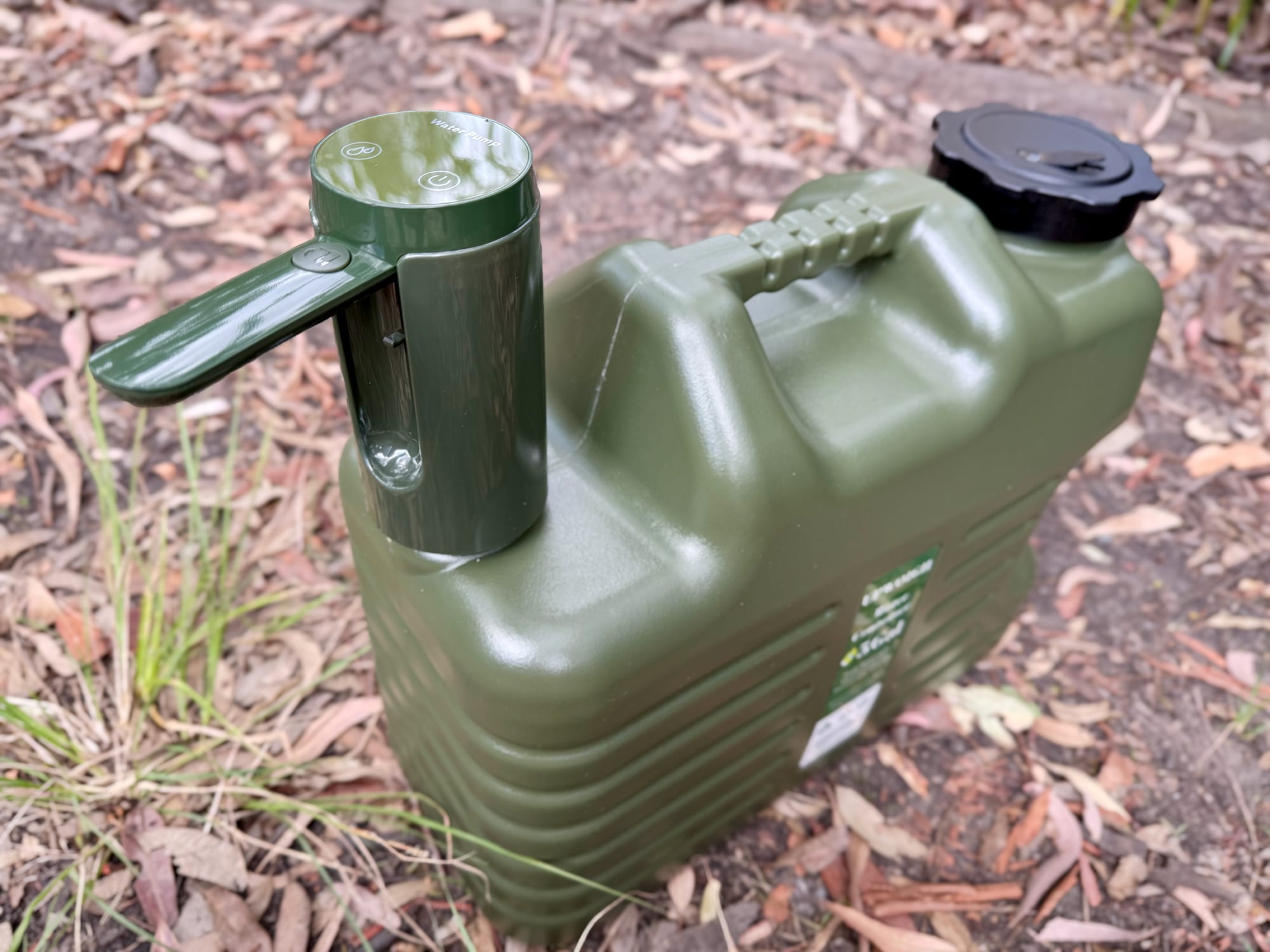
The Hema Flinders Ranges Atlas & Guide shows the whole loop and every camp along it. We dropped our tyre pressures for the gravel with a tyre pressure gauge and pumped them back up at the highway with the San Hima jump starter and air compressor. There’s no water anywhere on the loop, so carry plenty in good water containers.