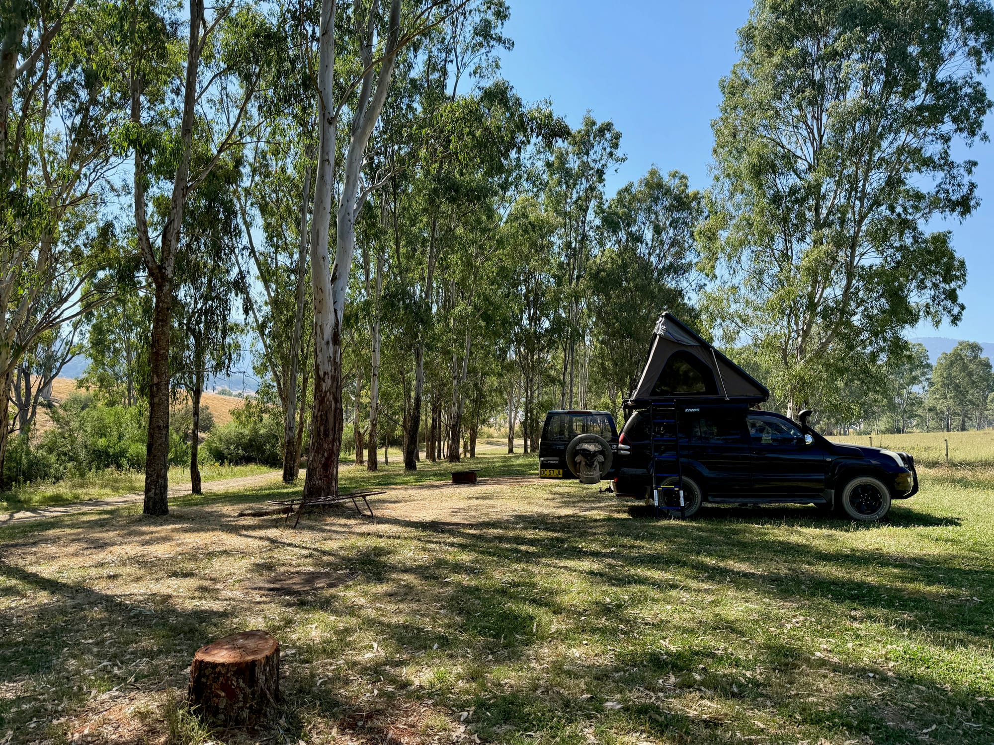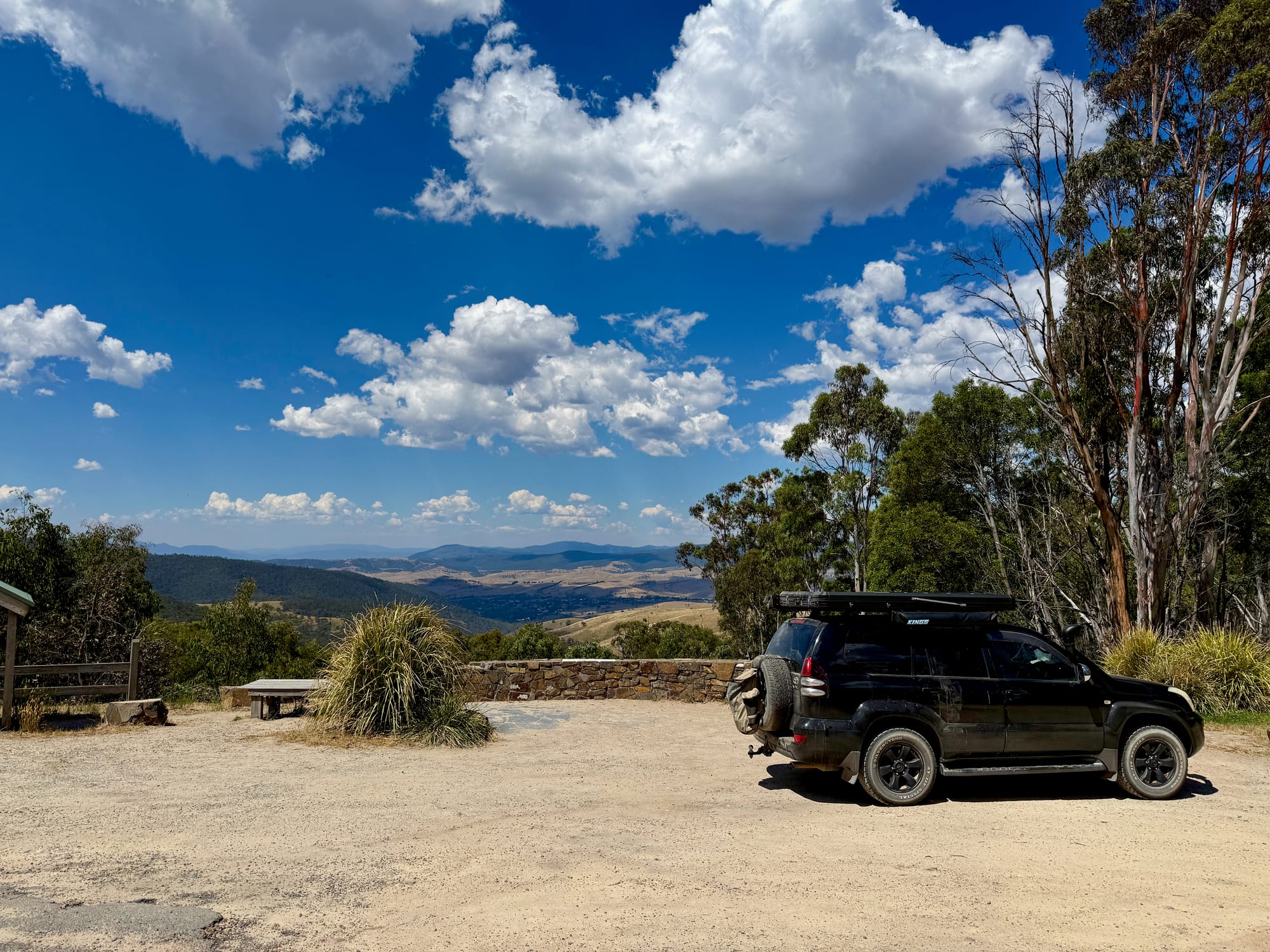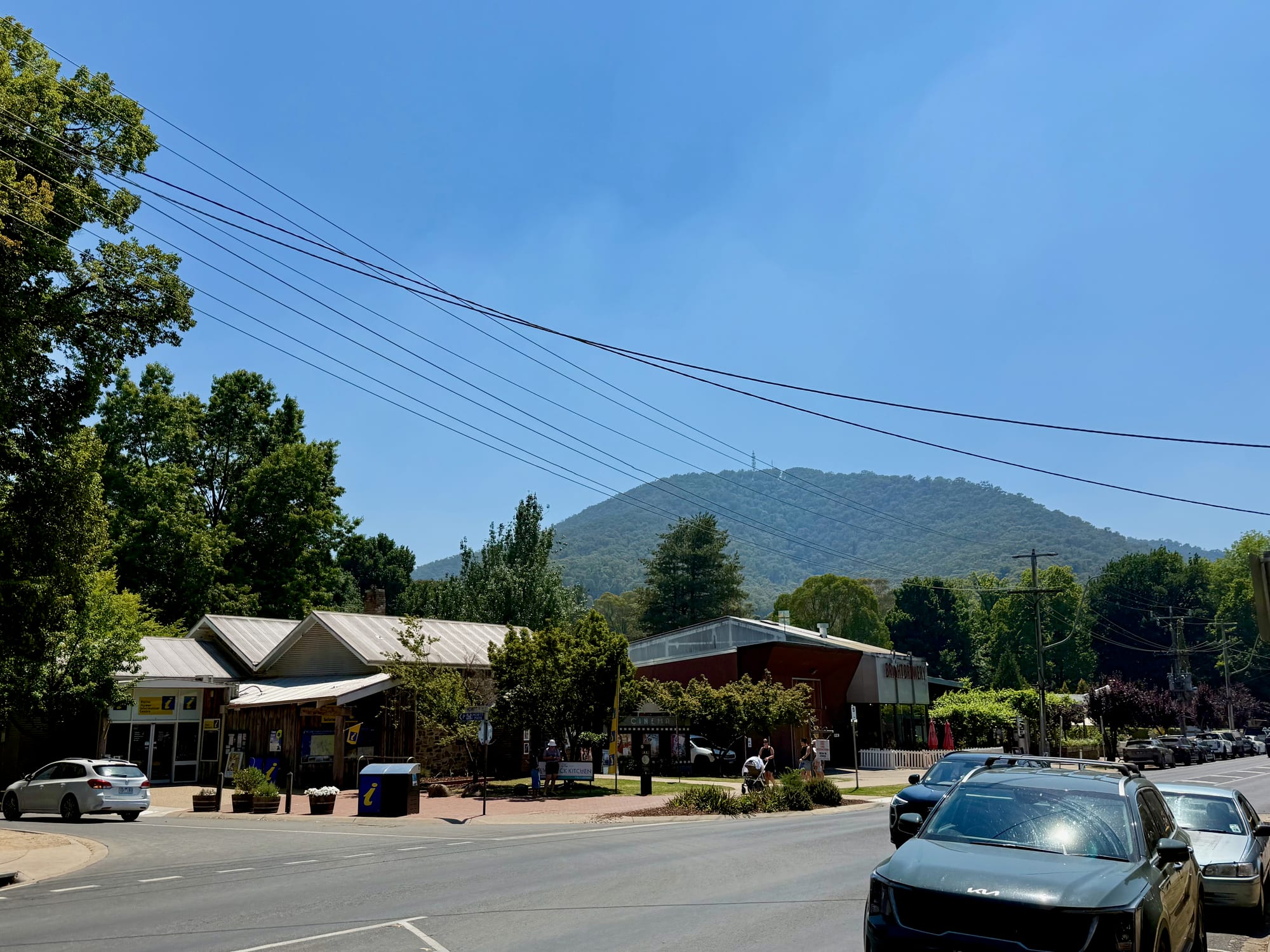
Bright is the leafy town at the foot of the Victorian Alps, and for most people heading up the Great Alpine Road it’s the last big stop before the mountains. We came through in the late morning on our second day in the High Country, after a night by the Buffalo River, and stopped for a wander, fuel and supplies before driving on to Harrietville and over Mt Hotham.
About BrightAbout
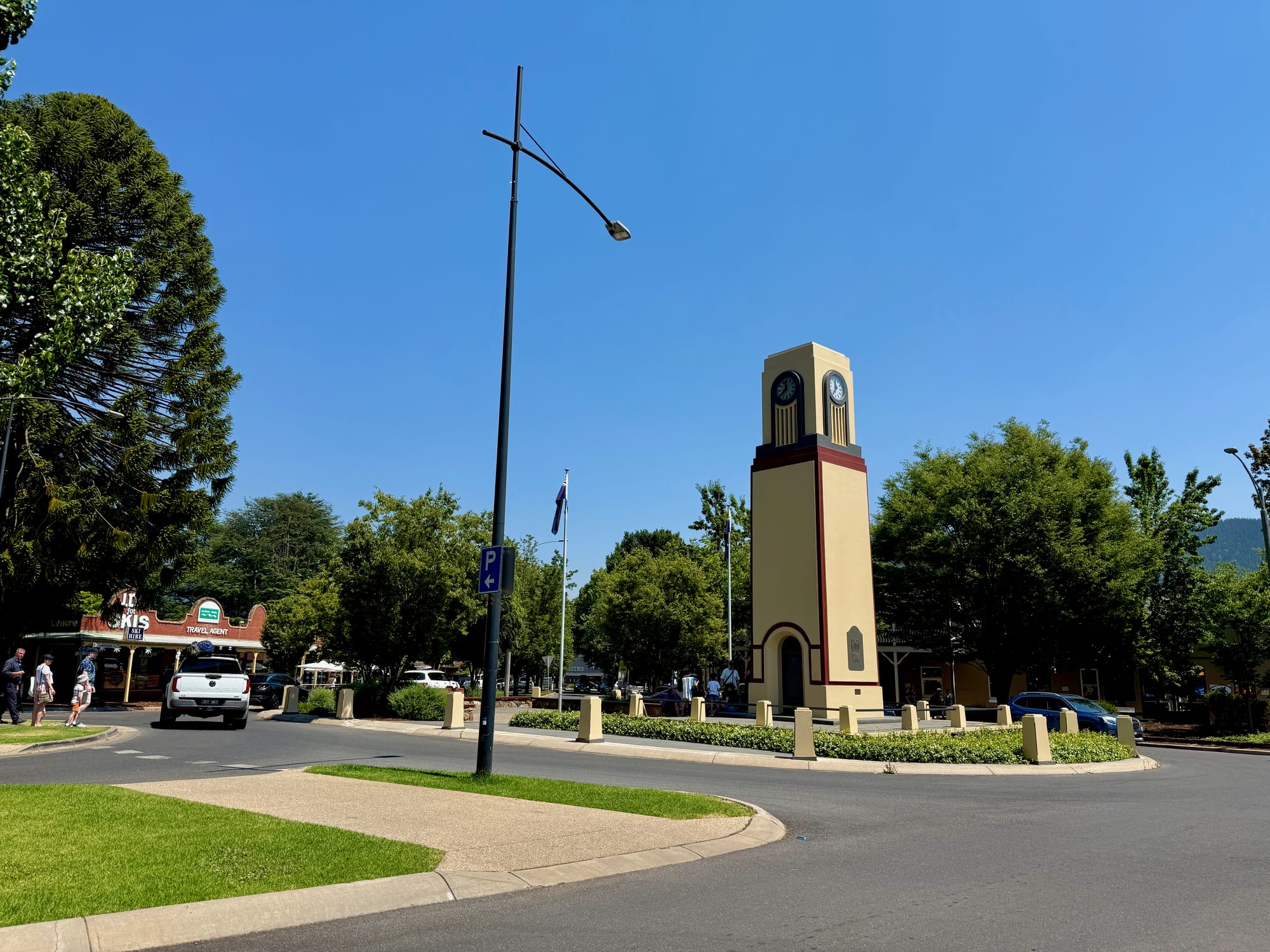
Bright sits in the Ovens Valley, where the Great Alpine Road heads up towards Harrietville and Mt Hotham, with Mt Buffalo National Park close by. It’s a busy holiday town in summer and the base for the snowfields in winter, and the streets are lined with tall old trees. The town centre is small and walkable, with a clock tower in a garden roundabout, cafes and shops on the main street, a cinema and a visitor centre.
Quick facts
- AddressBright VIC 3741, AustraliaSee on the trip map →
- FacilitiesRestaurantStoreFuelToiletsPicnic Areas
- Good to knowVisitor centre 9–5 dailyFuel before the AlpsBusy in holidays
- FeesFree to visit
- 9.0/10Overall rated
Getting There
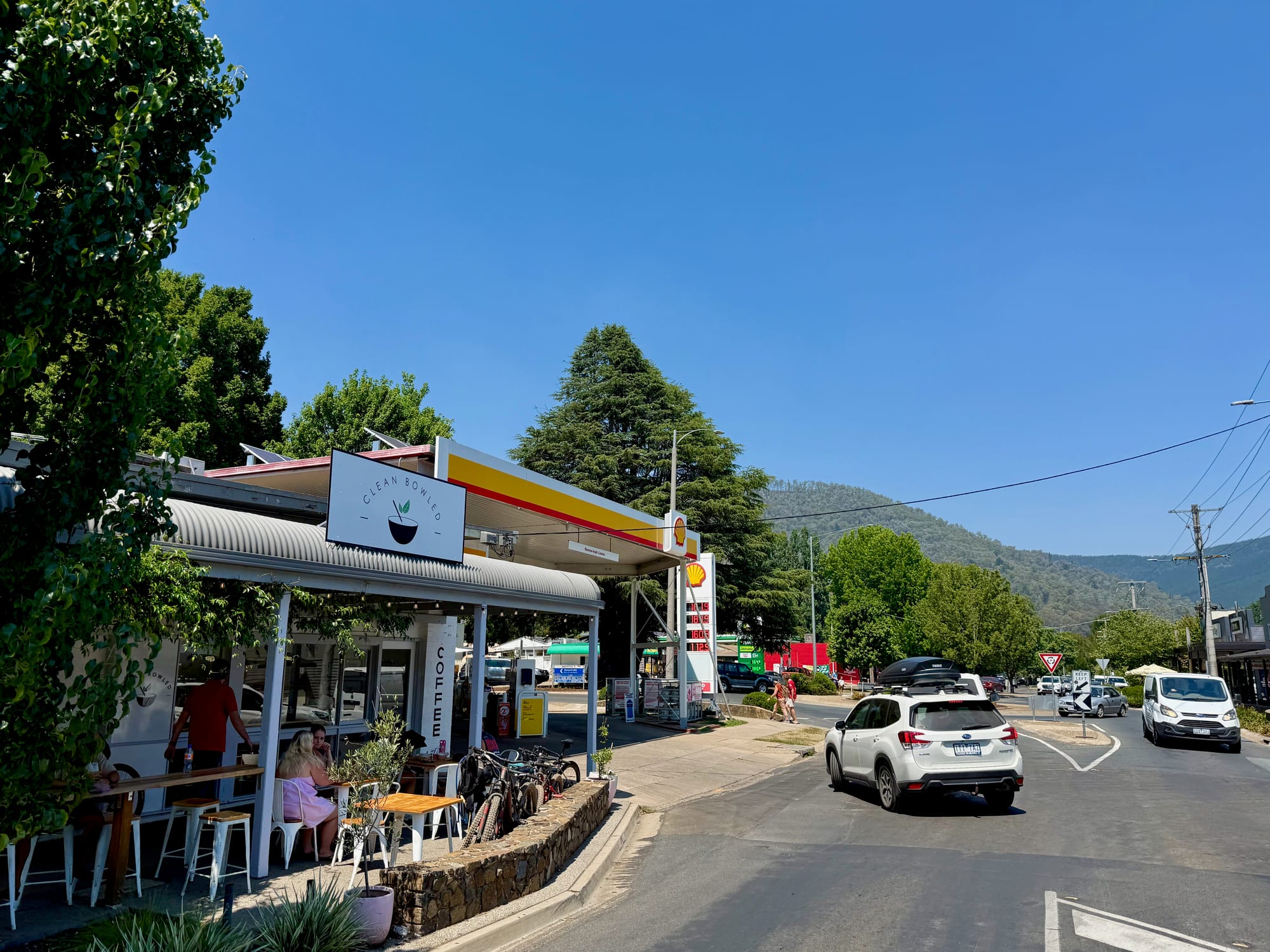
Bright is on the sealed Great Alpine Road, through Myrtleford from Wangaratta and the Hume Freeway. We came in from the Buffalo River valley. From Bright the road carries on up the Ovens Valley to Harrietville and then climbs to Mt Hotham, so fill up here if you’re crossing the Alps.
Wandering Around TownThe town
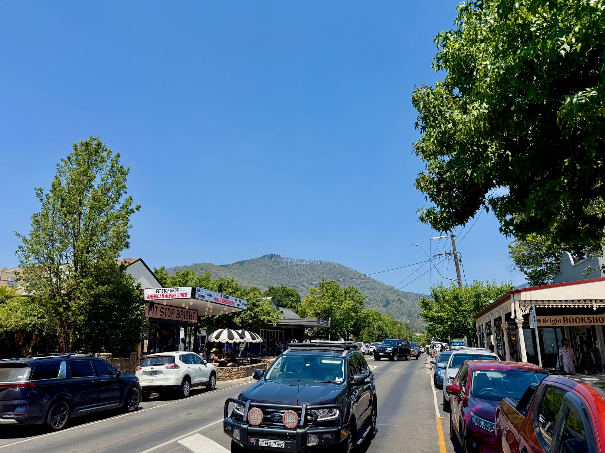
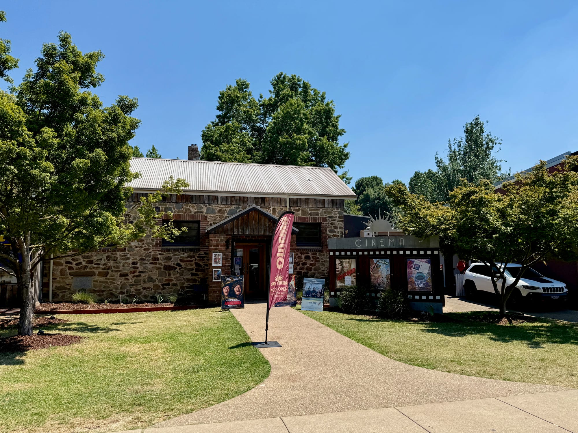
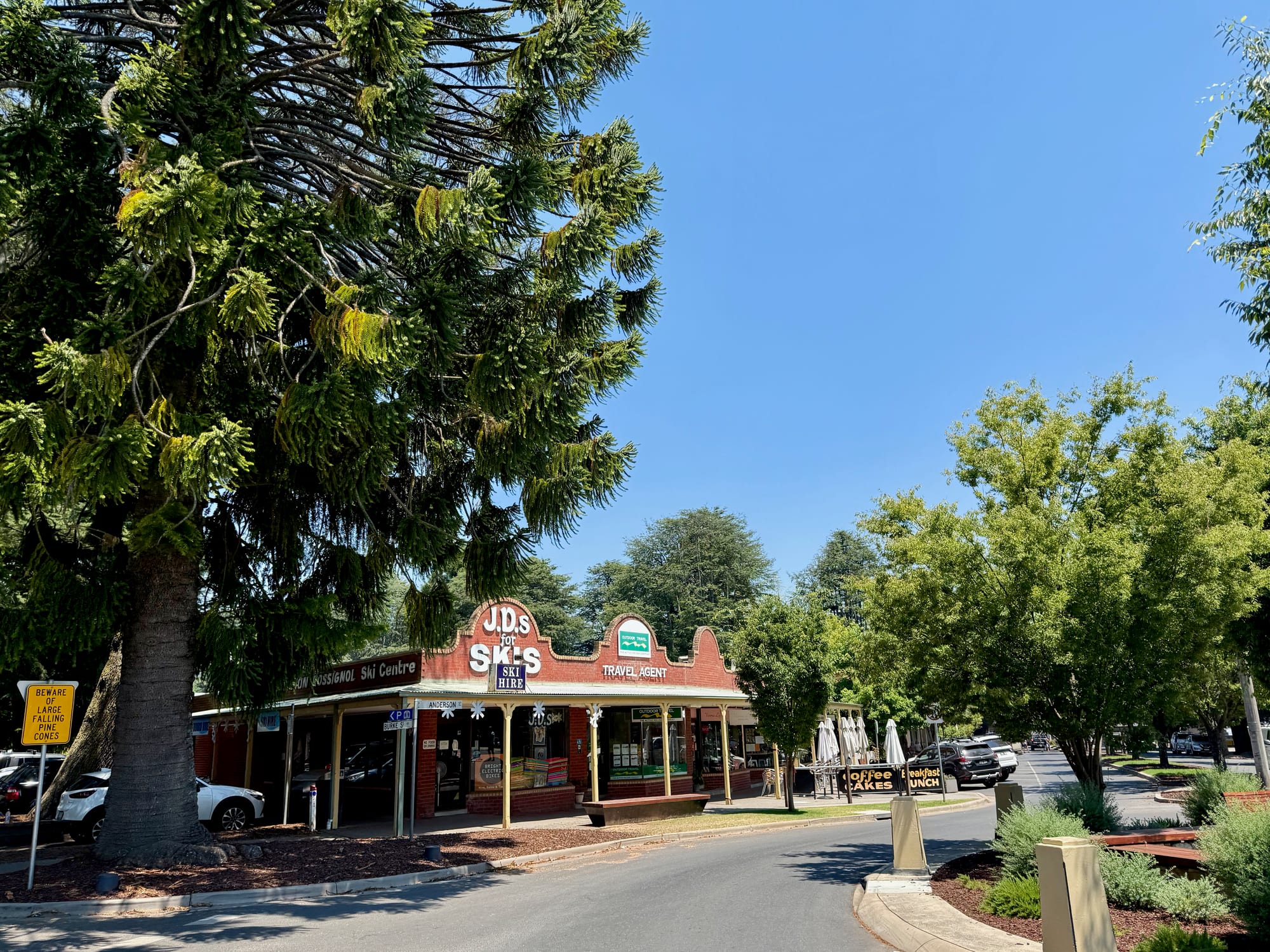
The main street is wide, with angle parking, so even a 4WD with a rooftop tent is easy to park. Cafes, a bookshop and gift shops line the footpaths, and the forested hills rise right at the end of the street. Around the corner, the Sun Cinema shows films and sells choc tops and coffee, the white-spired Uniting Church sits on its lawn, and a ski hire shop under a giant pine also hires electric bikes. Its sign warns of large falling pine cones.
Maps and Advice at the Visitor CentreVisitor centre
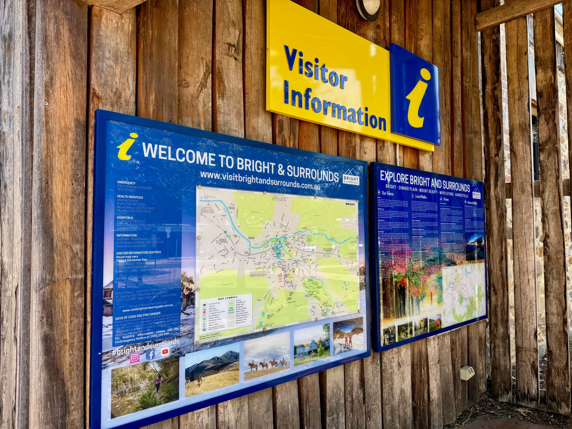
The Alpine (Bright) Visitor Information Centre is at 119 Gavan Street, open 9 am to 5 pm every day except Christmas Day. The boards in town have a map of Bright and Surrounds, which takes in Dinner Plain, Mount Beauty, Myrtleford and Harrietville, with emergency, medical and road-closure numbers. They also warn that parks and forests close on Code Red fire danger days, worth checking before you head into the Alps in summer.
Things to Do NearbyThings to do
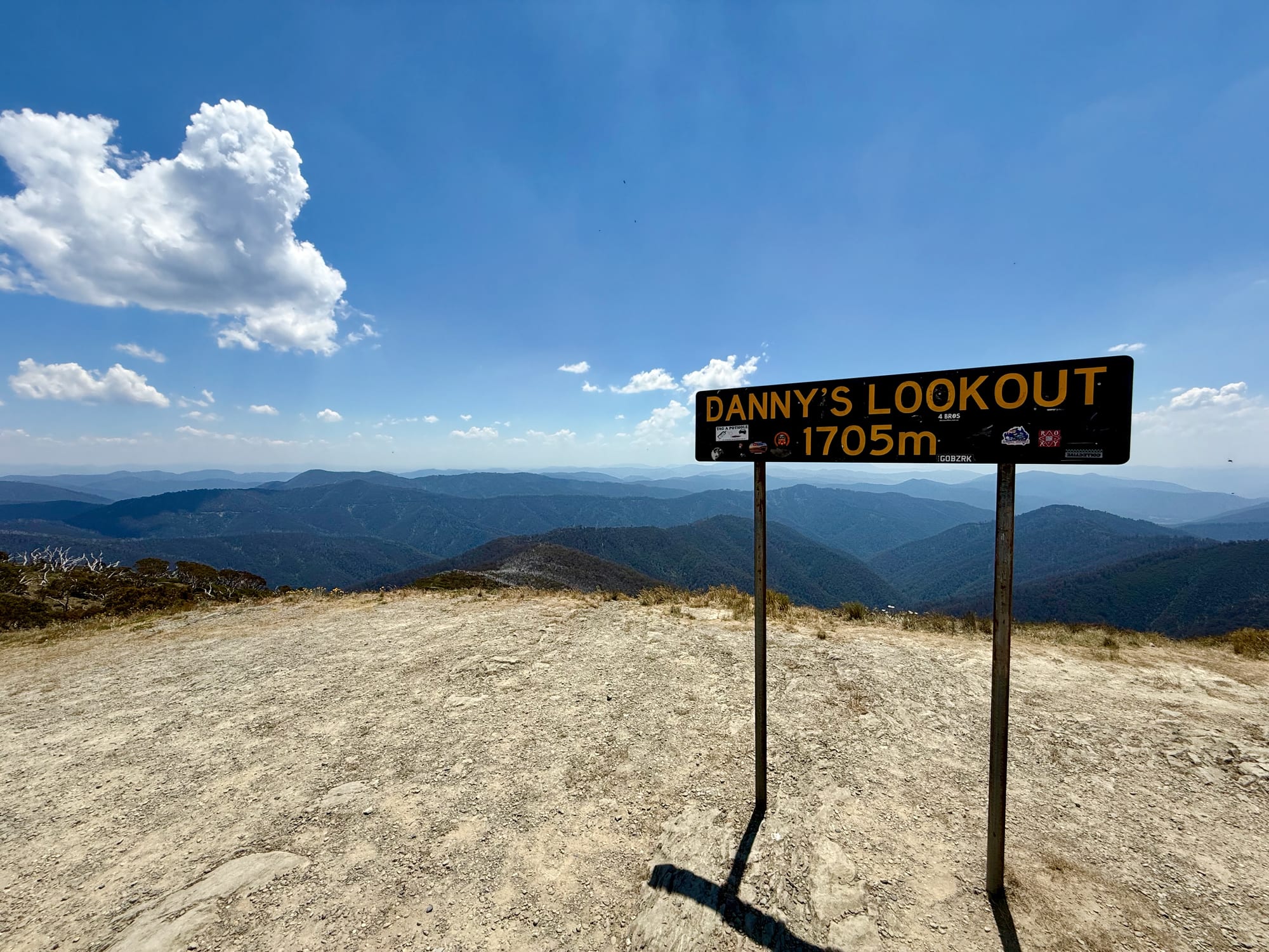
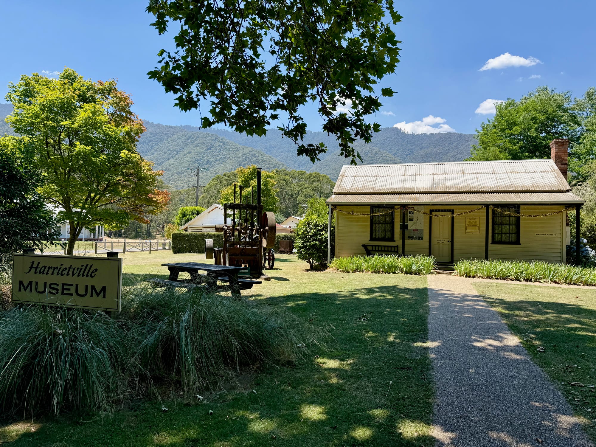
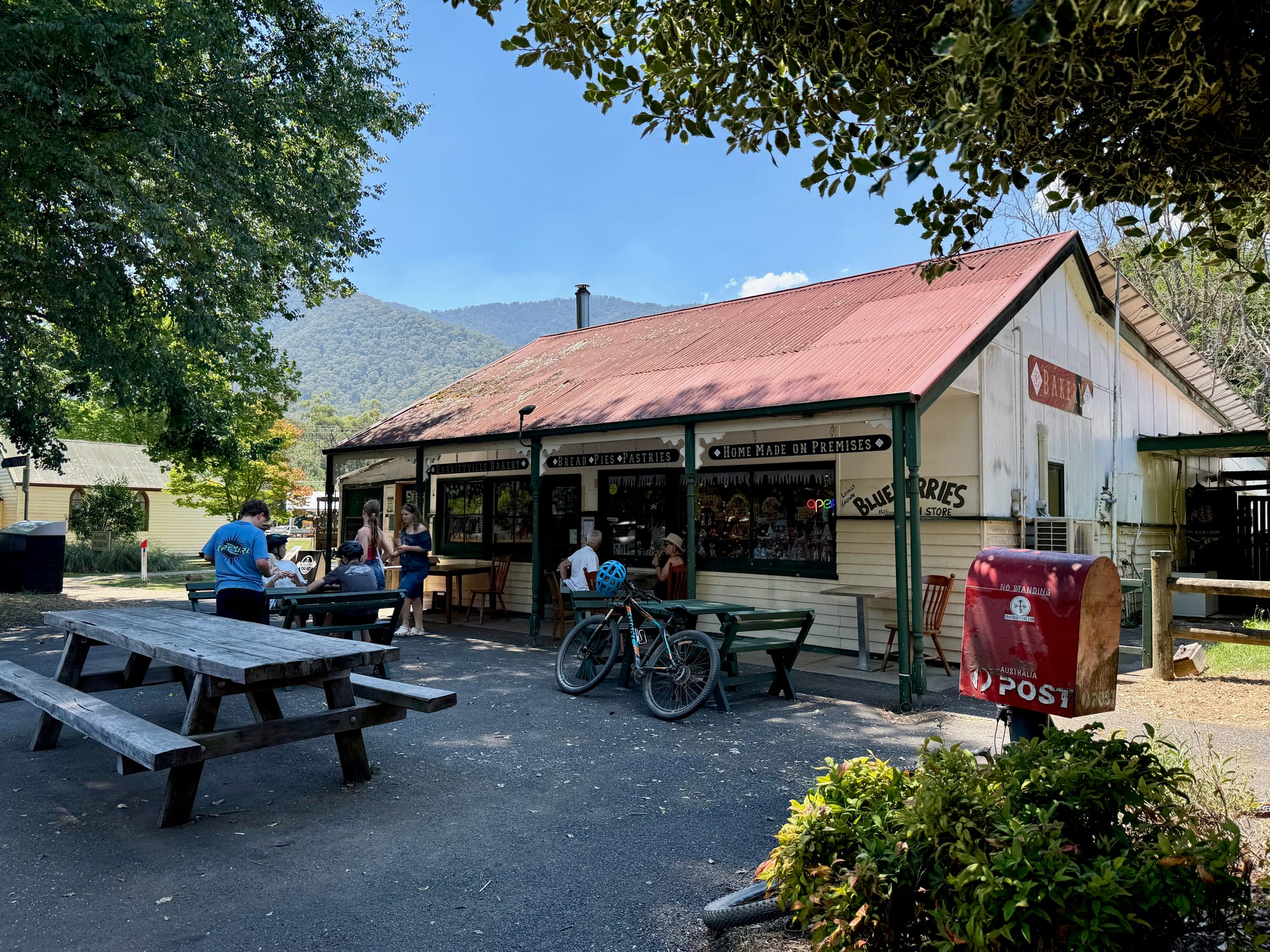
Harrietville is a short drive up the Ovens Valley, at the foot of the climb to Mt Hotham, and from there the Great Alpine Road climbs to Danny’s Lookout and over the top to Dinner Plain and Omeo. Mt Buffalo National Park is just outside town, and we had come past Lake Buffalo the evening before.
Summary
Bright is the easy, leafy gateway to the Victorian Alps: cafes, a bookshop and a cinema under tall trees, fuel and supplies, and a visitor centre for maps and road conditions. Stop for a coffee and fill up before you head up the Great Alpine Road.
The leafy gateway to the Victorian Alps.
Bright is a busy little town of cafes, shops, a cinema and a visitor centre, with tall trees in every street and forested hills at the end of them. It’s the place to fuel up, stock up and grab a coffee before Harrietville and the climb to Mt Hotham.
- Travellers
- Families
- 4WD tourers
Yes. It’s free to wander, it has fuel, food and a visitor centre, and it’s right on the Great Alpine Road on the way into the Alps.
Recommended Gear for Bright
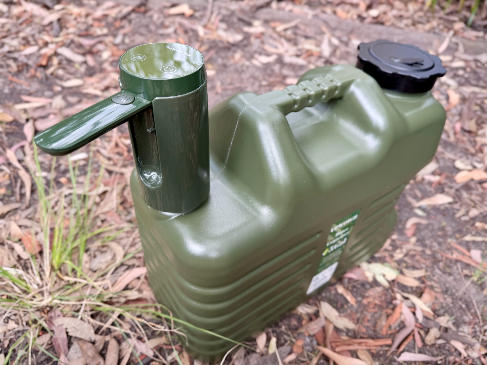
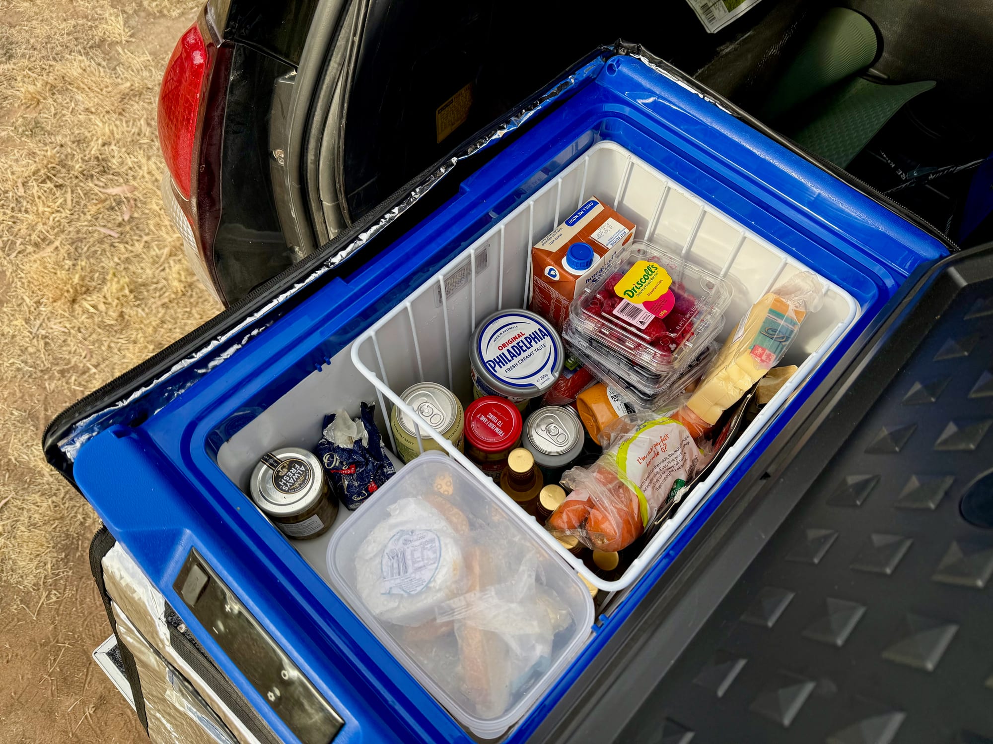
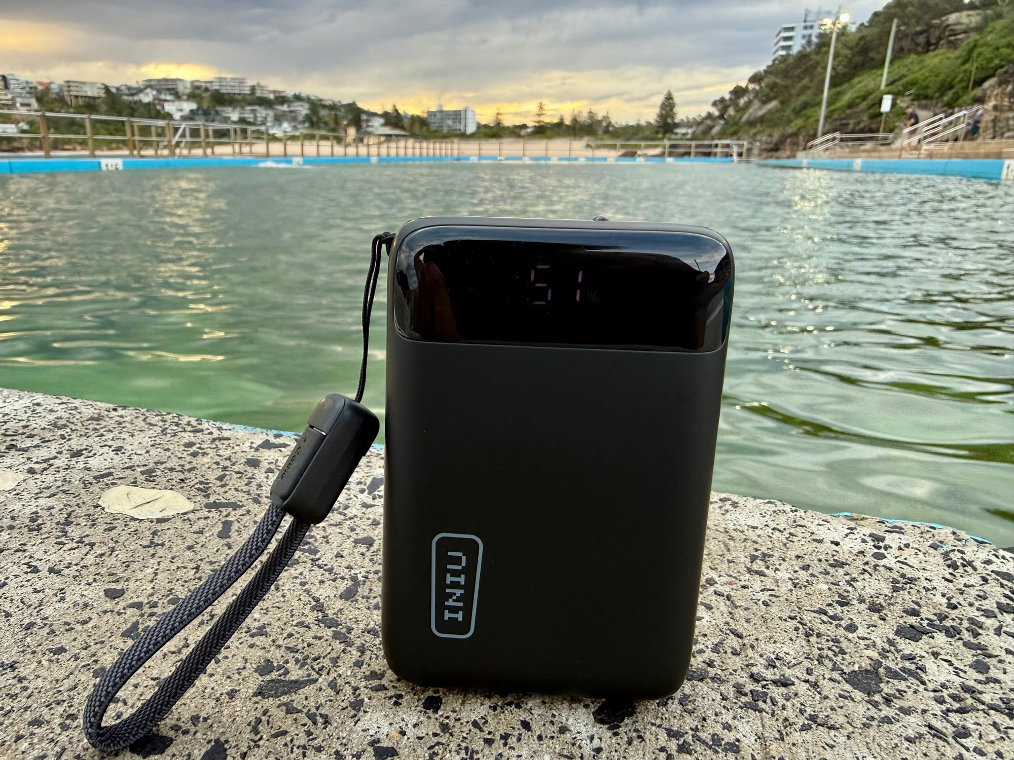
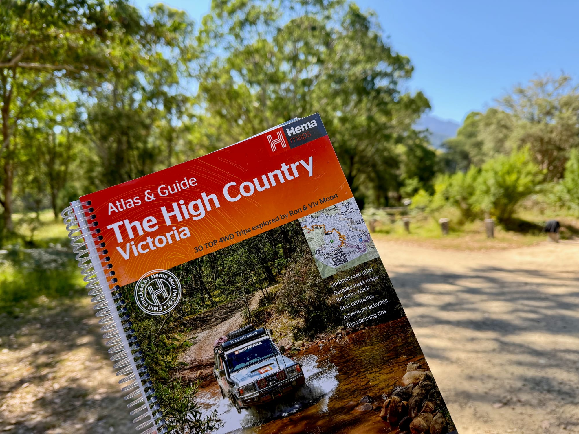
Fill your water containers and the fridge in Bright before heading up into the Alps. A power bank keeps your phone charged for maps on the mountain roads, and the Hema High Country atlas is handy where reception drops out.