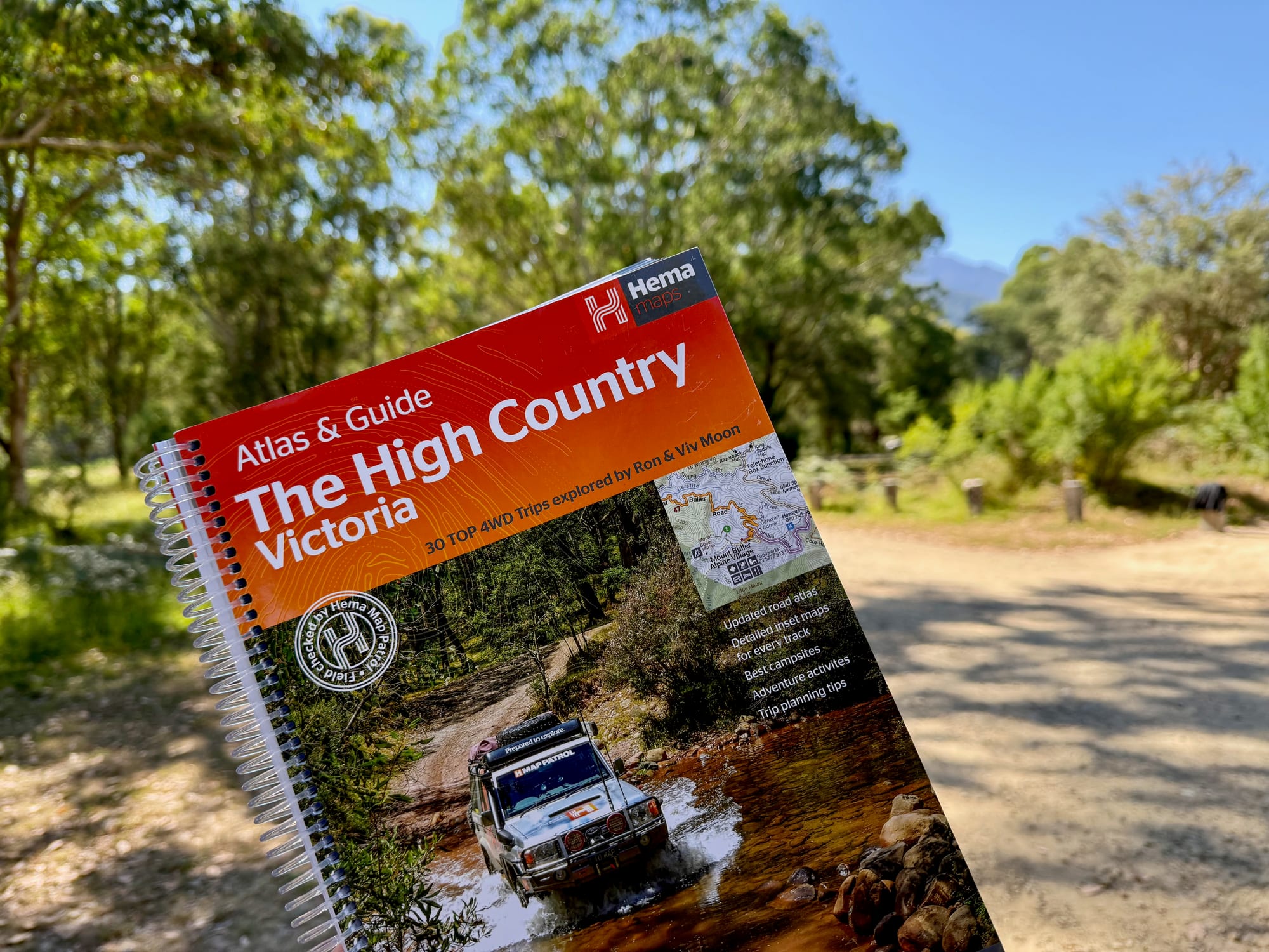
The Victorian High Country is steep, remote and mostly out of phone range, which makes it the kind of place where a paper atlas earns its spot in the car. The Hema High Country Victoria Atlas & Guide combines large-scale maps with 30 graded 4WD trips. We paid $50 for it and took it on a big trip in December 2025: from Sydney to the Flinders Ranges, on to the Grampians and Melbourne, and back home through the High Country. It rode along as a backup to Google Maps downloaded for offline use.
What You’re Getting
A spiral-bound book in two parts. Ours is the 3rd edition. The first is an atlas of the High Country. The second is a guide: an introduction to the region, trip planning, what to see and do, and the Top 30 4WD trips, which the cover credits to Ron and Viv Moon.
What we like
- 40 atlas pages at 1:150,000
- Top 30 4WD trips by Ron and Viv Moon
- Trips have gradings and distances
- Trips grouped by area, with photos
- Campsites, planning, things to do
- Spiral bound: lies flat
What we don’t
- Big and heavy to carry
- Paper pages need keeping dry
- Track conditions change
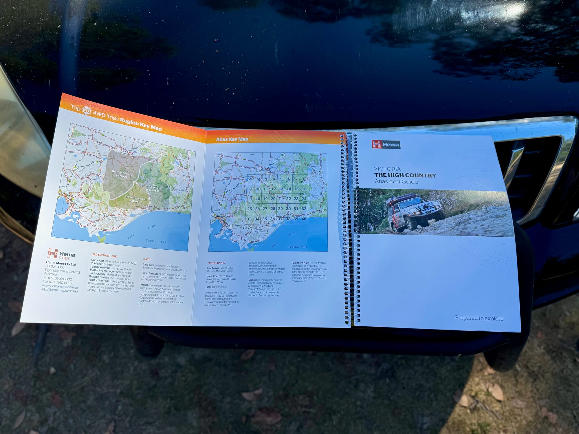
Quick Specs
| Spec | Details |
|---|---|
| Publisher | Hema Maps |
| Title | The Victorian High Country Atlas & Guide |
| Edition | 3rd |
| Atlas | 40 pages at 1:150,000 |
| 4WD trips | 30With gradings and distances |
| Authors of the trips | Ron and Viv Moon |
| Binding | Spiral |
The maps
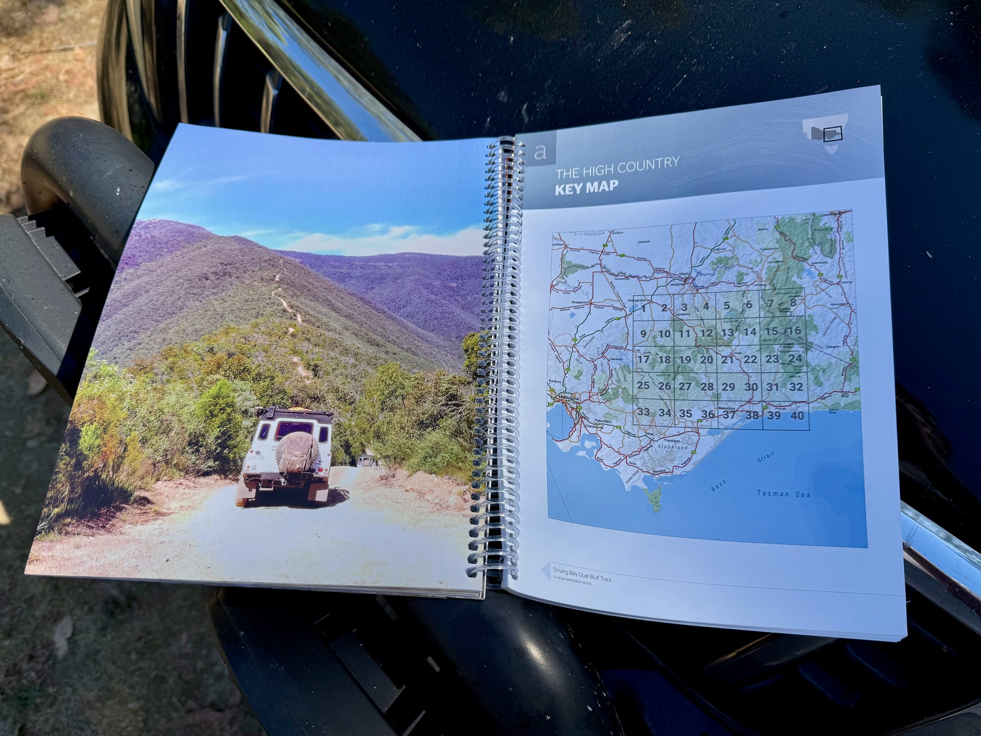
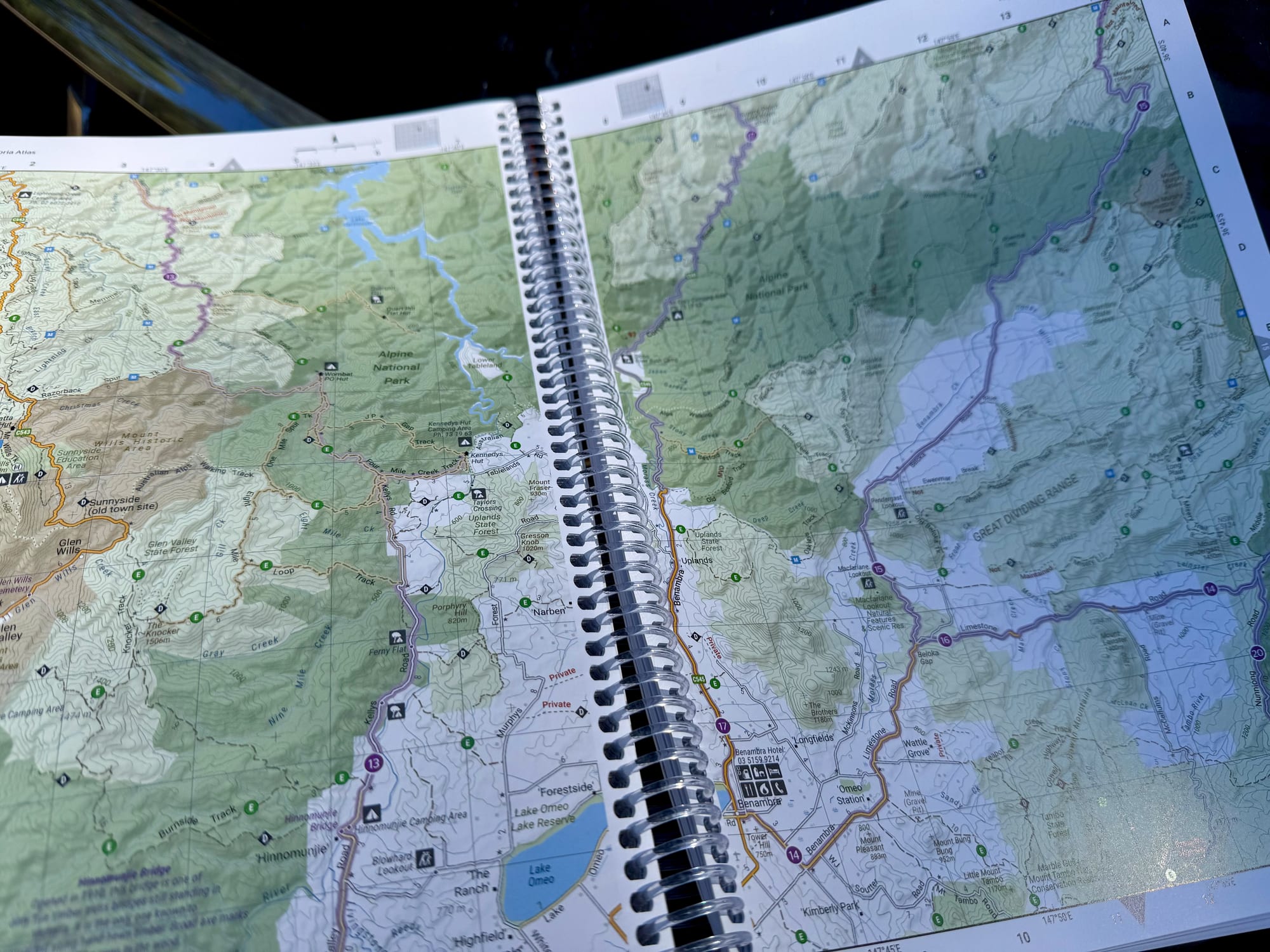
There are 40 atlas pages at a scale of 1:150,000. That’s a large scale for a touring atlas, and it’s a lot more detailed than the 1:400,000 in Hema’s Flinders Ranges Atlas & Guide. In country this steep and tangled, the extra detail matters: tracks, creek crossings and huts sit close together.
A key map at the front numbers the atlas pages, so you can find the right one quickly. The atlas covers the main High Country regions, including Mansfield, Dargo, Bright, Omeo, Licola and Mt Buller.
The Top 30 4WD trips
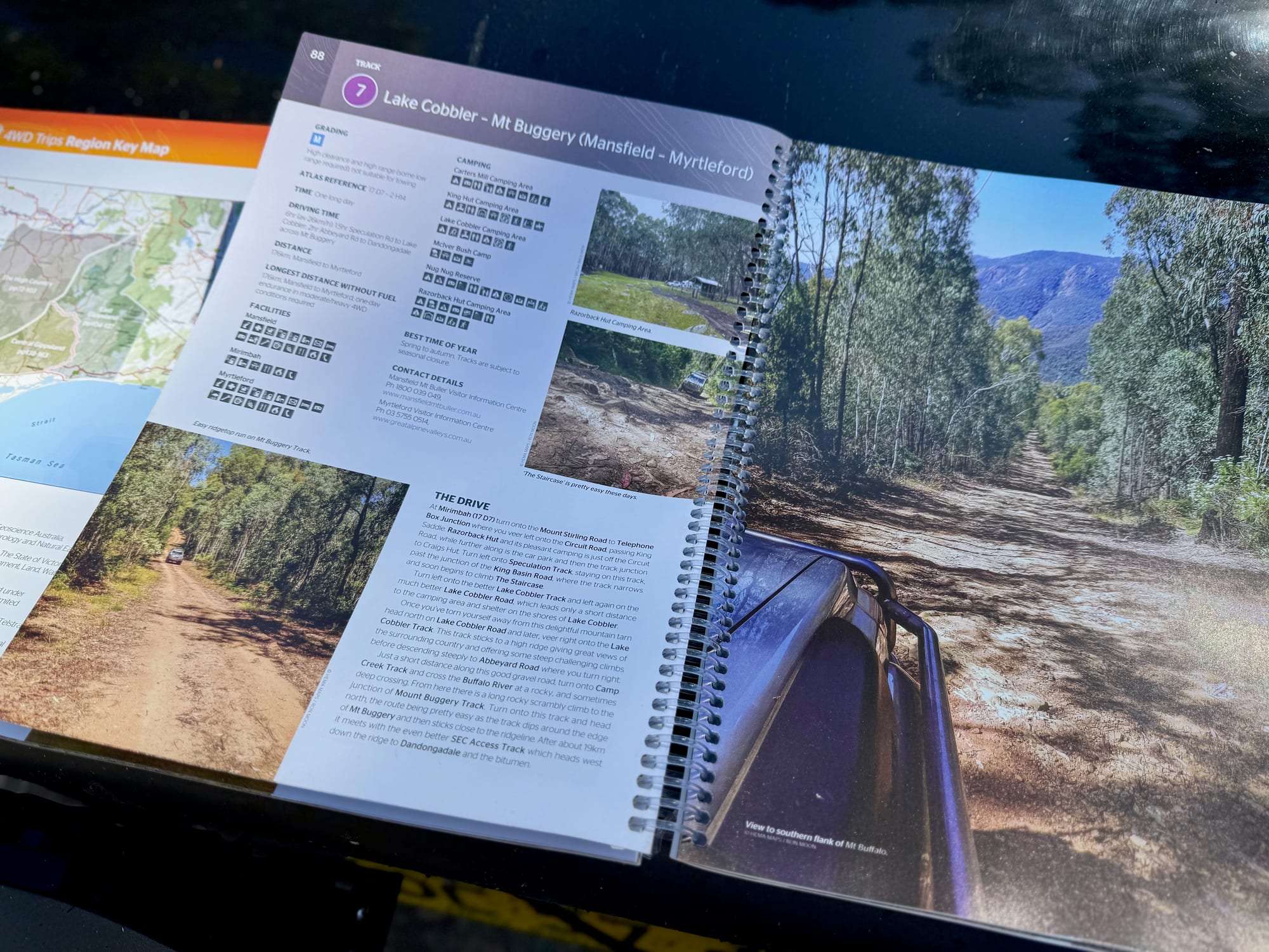
This is the heart of the book. The 30 trips are grouped by locality, and each one has a panel with its grading and distances, travel information, and a description of the drive from start to finish, with photos.
The gradings are the useful part for planning. The High Country has everything from easy touring to tracks that need experience and a well set-up vehicle, and the book lets you pick trips that match yours. It includes the well-known ones: Wonnangatta via the Zeka Spur, Billy Goat Bluff, the Ingeegoodbee Track, Mount Pinnibar and the Blue Rag Range Track.
Track conditions in the mountains change with weather and seasonal closures, so treat the book as the plan and check current conditions before you go.
Touring and planning pages
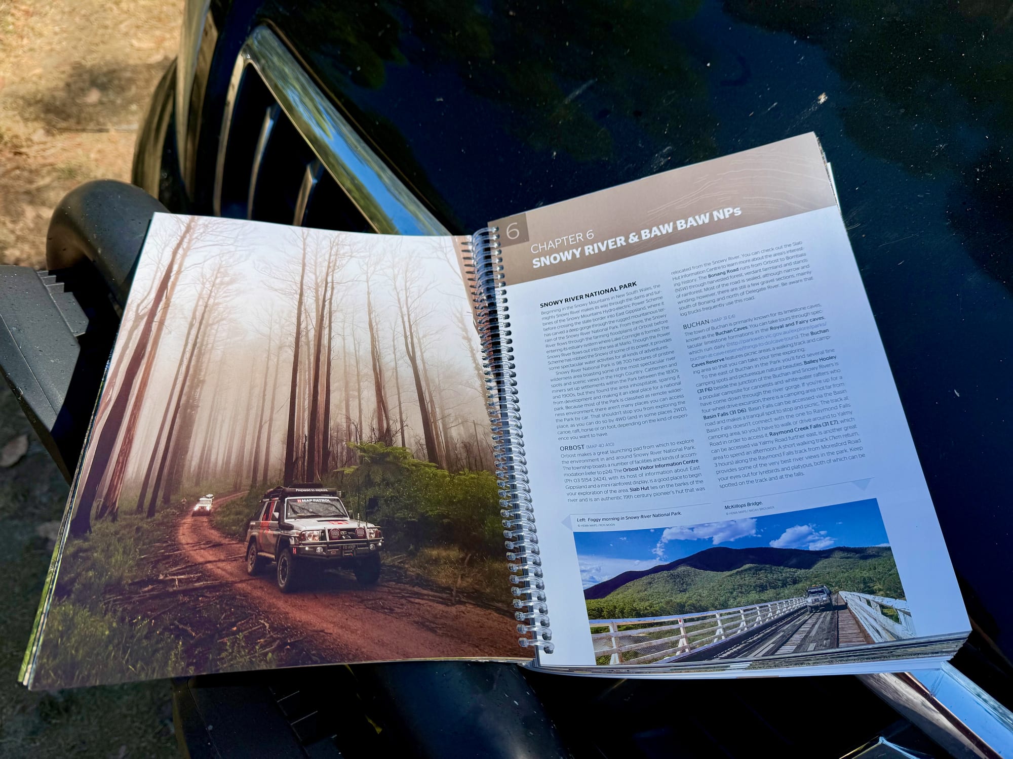
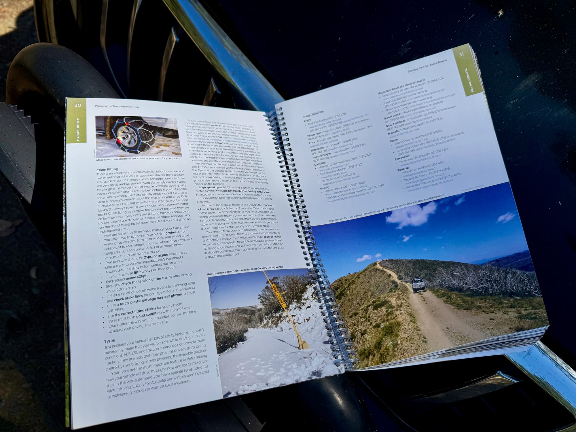
Around the trips are touring sections on the distinct parts of the High Country: the Great Alpine Road, Alpine National Park, and Snowy River and Baw Baw national parks. There are pages on the best campsites, on activities, and on planning a trip.
The photos are good throughout, which makes it a book you’ll read at home before the trip as well as in the car.
Using it in the car
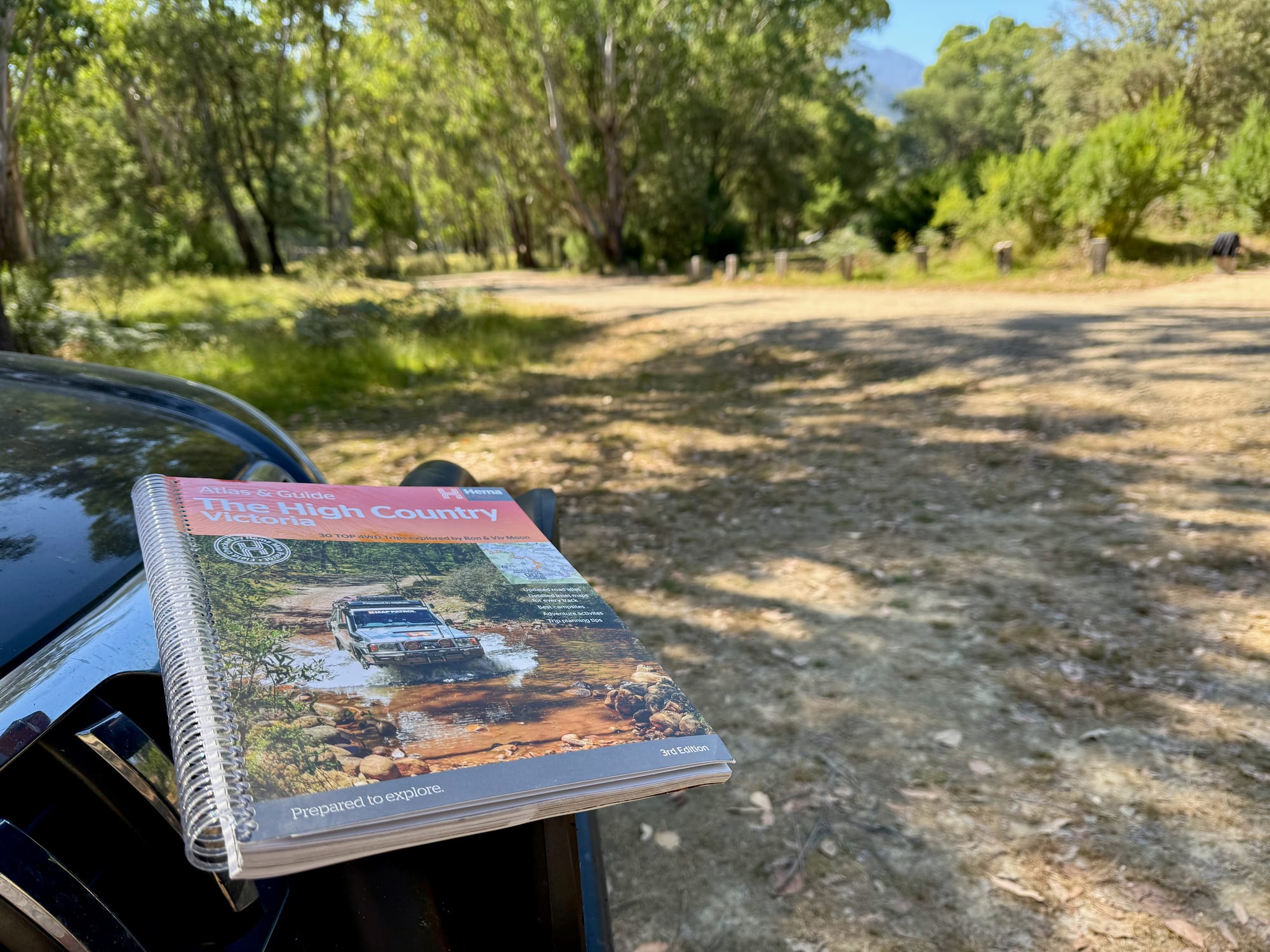
The book is spiral bound, so it opens flat and stays open on a bonnet or a camp table, and folds back on itself to show one page. It’s a big book, so it lives in a door pocket or behind a seat. The pages are paper and need keeping dry.
We use our Hema books as a backup. On the December trip we came home from Melbourne through the High Country with this one in the car. Day to day we navigate with Google Maps, downloaded so it works without reception, and the book comes out for planning and as the fallback. Planning a different trip? See our guide to Hema Maps, or all the Hema Atlas & Guides.
Conclusion: Hema High Country Victoria Atlas & GuideConclusion
The Hema High Country Victoria Atlas & Guide pairs large-scale maps with a proper trip guide: 40 atlas pages at 1:150,000 and 30 graded 4WD trips by Ron and Viv Moon, with distances, notes, campsites and planning pages. It’s a big book, the pages need keeping dry, and conditions on the tracks change. I paid $50 for it and had it with us coming home through the High Country. For planning a High Country trip and as a backup that needs no signal, it’s a very good book to have in the car.
A spiral-bound atlas and guide for the Victorian High Country: 40 atlas pages at 1:150,000 and 30 graded 4WD trips with distances and notes.
A big book, and conditions on the tracks change.
- 4WD tourers
- Car campers
- Hikers
Yes, if the High Country is on your list. We paid $50. The maps are at a large scale and the 30 trips are graded, so you can pick ones that suit your vehicle and experience. It works with no signal and no battery.