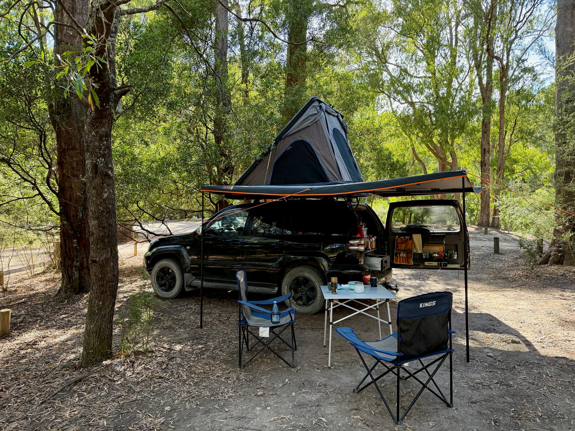
We didn’t think much of Cooks Mill before we got there, but it turned out to be a hidden gem. It sits in Cathedral Range State Park, a couple of hours north-east of Melbourne, on the site of an old timber mill beside the Little River, with big unmarked sites tucked into the forest. We drove in over the Black Spur late in the afternoon and found a spot well away from anyone else, and it was one of our favourite nights of the whole trip.
What we like
- Quiet, spread-out forest sites
- Little River beside camp
- Walks straight from camp
- Room for a rooftop tent setup
- Fireplaces and a shelter
What we don’t
- No drinking water
- Sites aren’t marked
- Bring your own firewood
About Cooks MillAbout
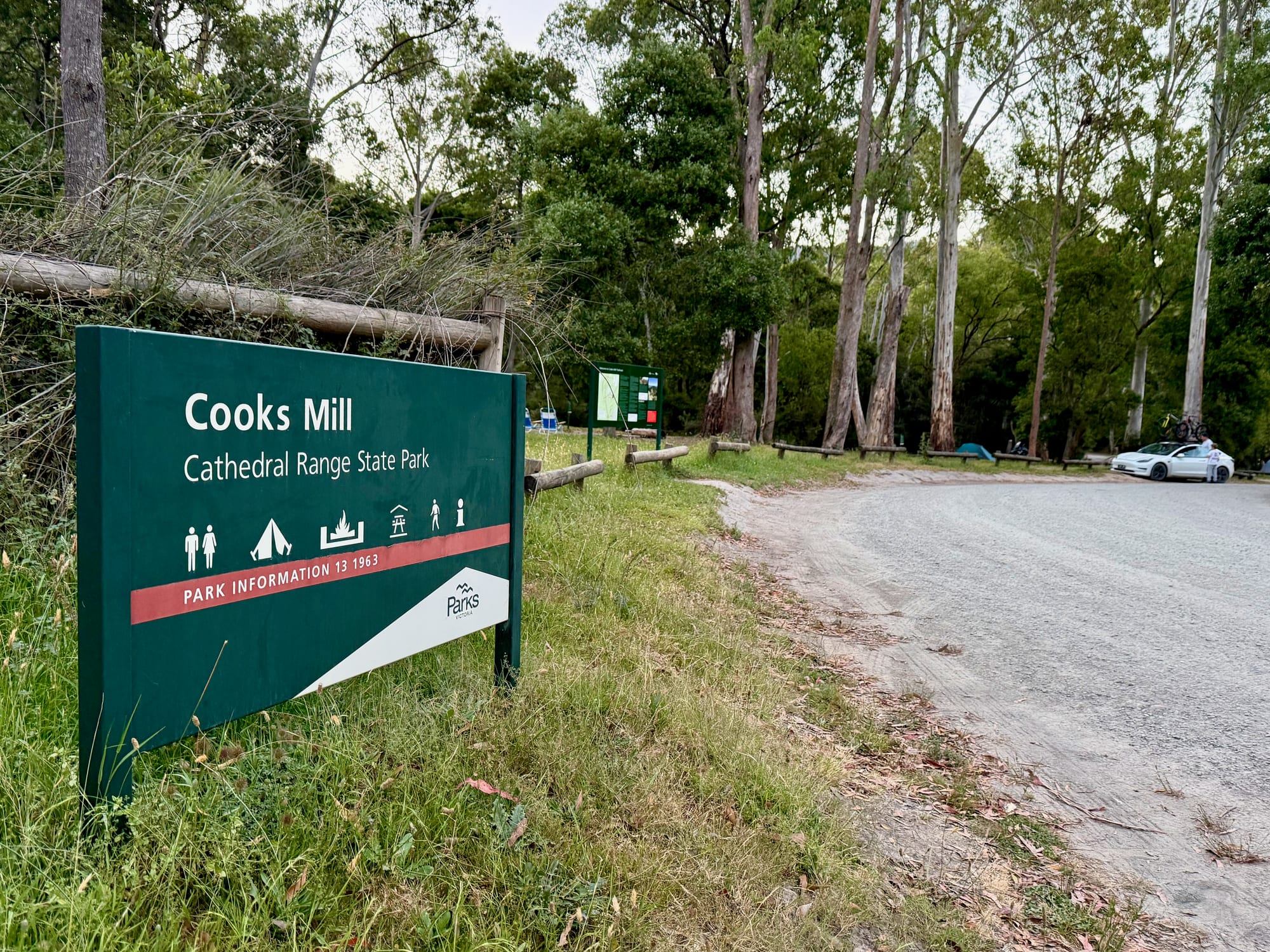
Cooks Mill is a Parks Victoria camping area at the foot of the Cathedral Range, shaded by Peppermint, Blackwood and Red Stringybark gums. A sawmill worked here in the 1940s and 1950s, and the Cooks Mill Heritage Site is a short walk away. You book and pay online before you arrive, all year round, but you can’t reserve a particular site: the sites aren’t marked, and you choose your own spot when you get there. When we checked, it was $35.60 a night for up to six people. The main area is open all year; the section along Tweed Spur Road closes from after the King’s Birthday long weekend in June until before Melbourne Cup weekend, when the ground gets waterlogged.
Quick facts
- AddressCooks Mill Camping Area, Little River Road, Cathedral Range State Park, Taggerty VIC 3714, AustraliaSee on the trip map →
- FacilitiesToiletsFire PitsPicnic TablesPicnic ShelterWalking TrailsCamper Trailer AccessNo Drinking WaterNo ShowersNo Power
- Good to knowBook, then pick a siteNo petsBring firewood
- Fees$35.60 a night, up to 6 people
- 8.9/10Overall rated
- Book via Parks Victoria
Getting There
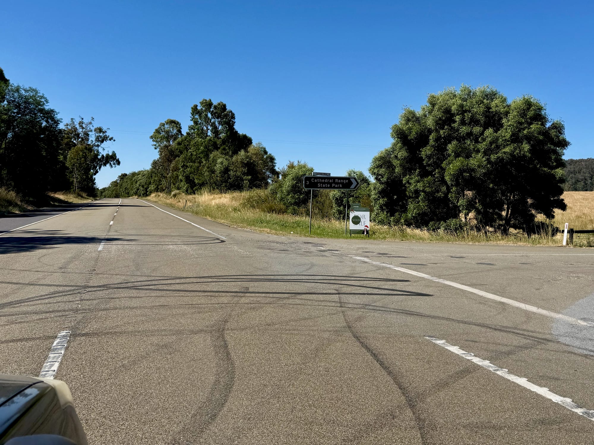
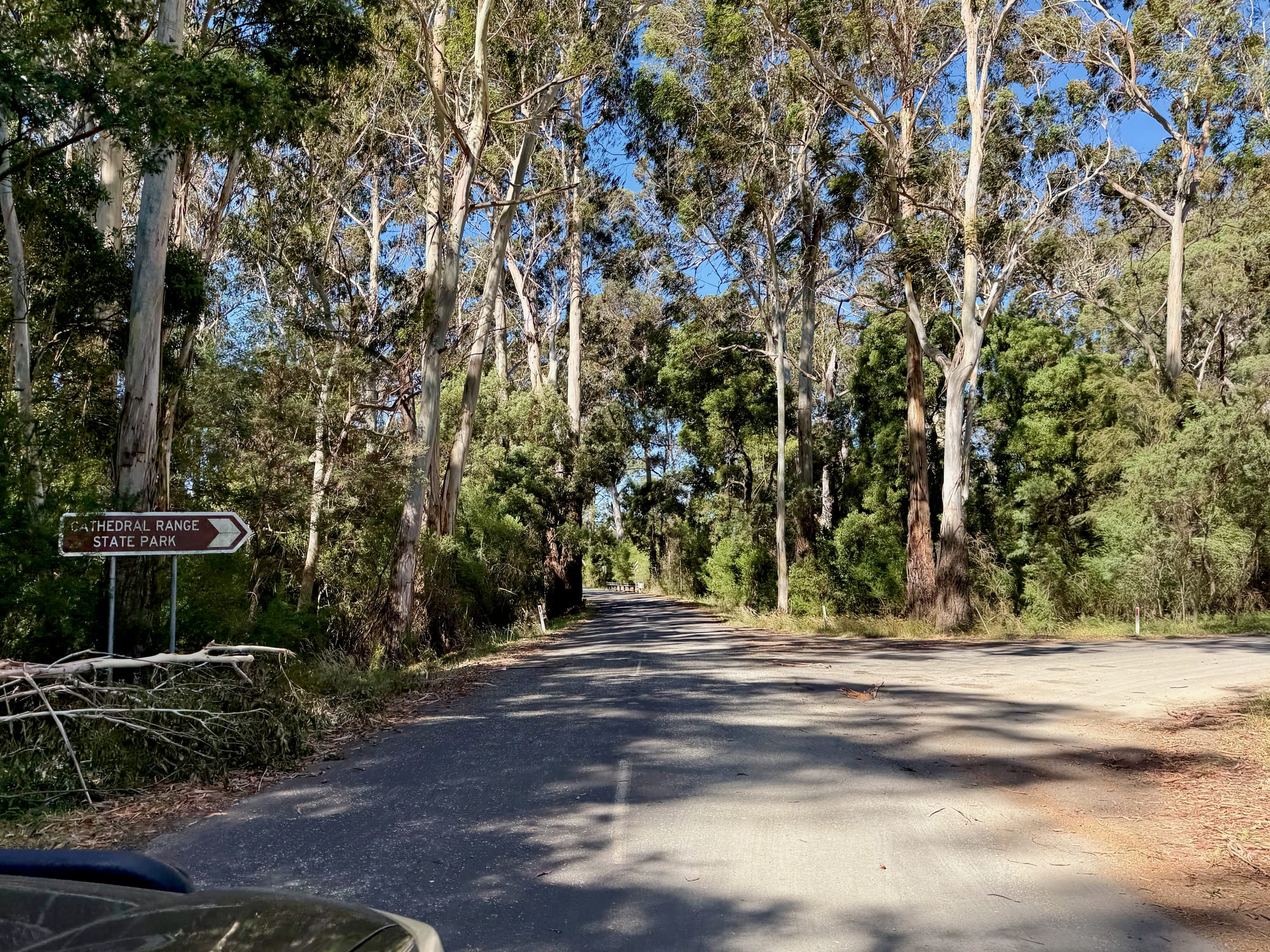
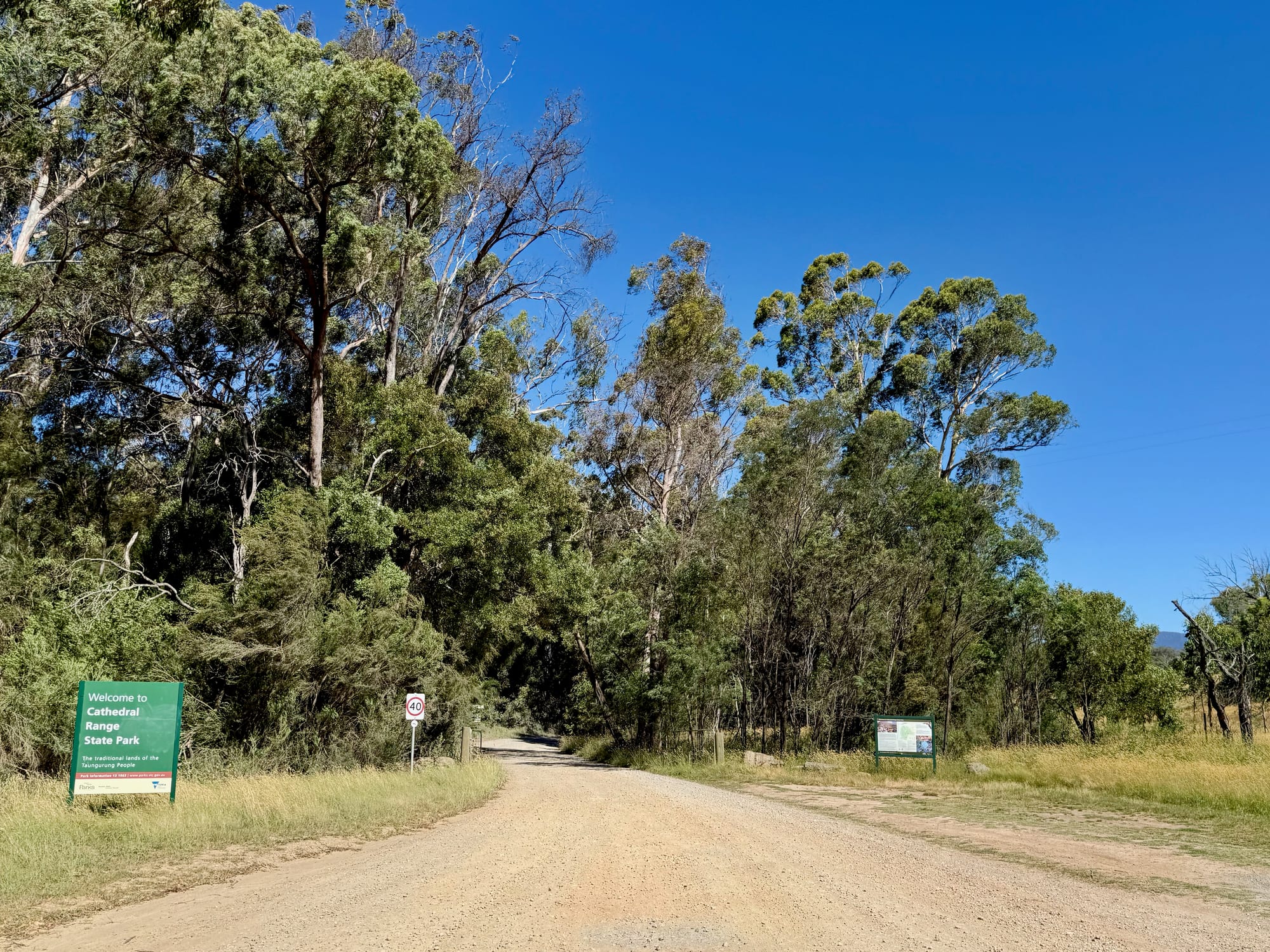
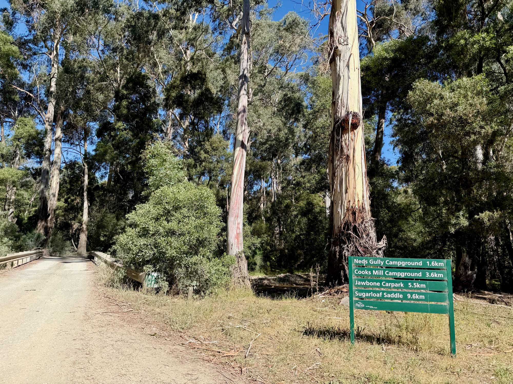
From Melbourne, take the Maroondah Highway over the Black Spur to Buxton. Carry on 9.5 km past Buxton, turn right into Cathedral Lane, and the park entrance is 2.5 km along on the right. Follow Little River Road past Neds Gully camping area; Cooks Mill is at the start of Lowerson Track, just before the road crosses the river. The park roads are gravel and fine in the dry.
The Campsites
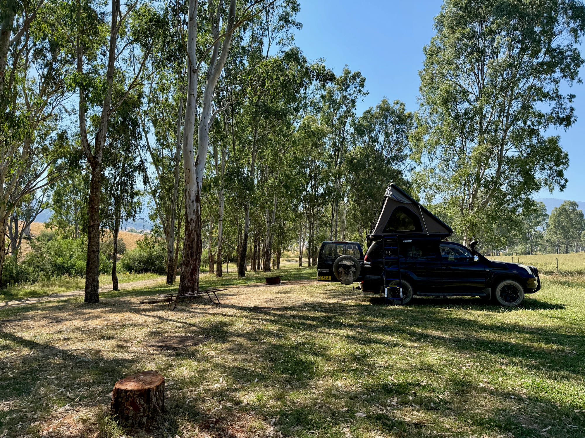
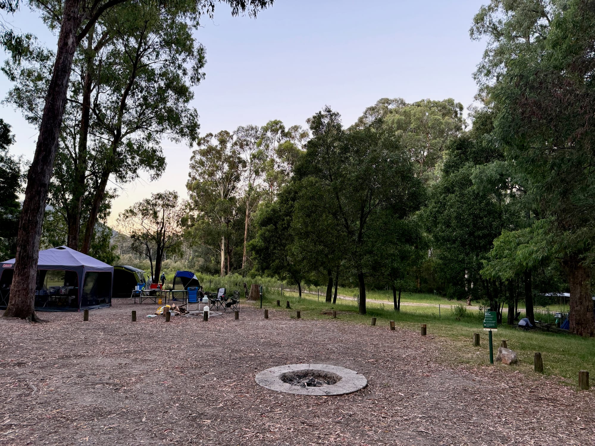
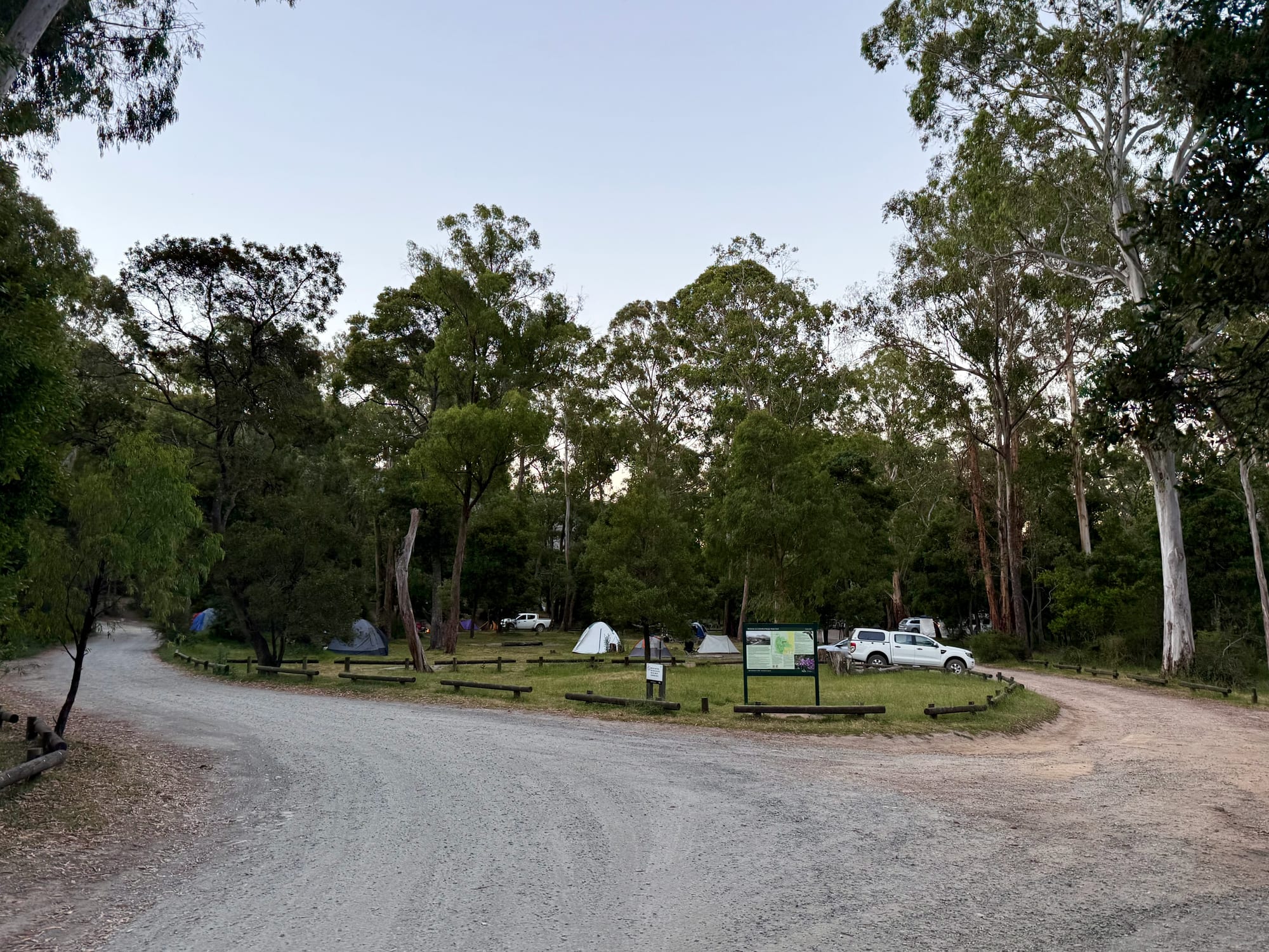
The sites are big, open clearings among the trees, with bollards and logs marking out the edges but no site numbers, so you pick the spot you like. Most suit tents, and there’s a limited area for camper trailers, campervans and caravans; our Prado with the rooftop tent fitted easily. The best thing about it is how spread out it is: with the forest between the sites, it felt like we had the place almost to ourselves.
Campground LayoutLayout
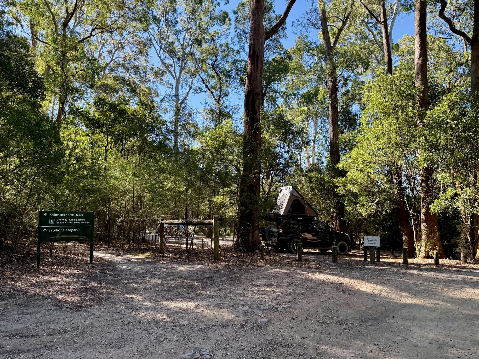
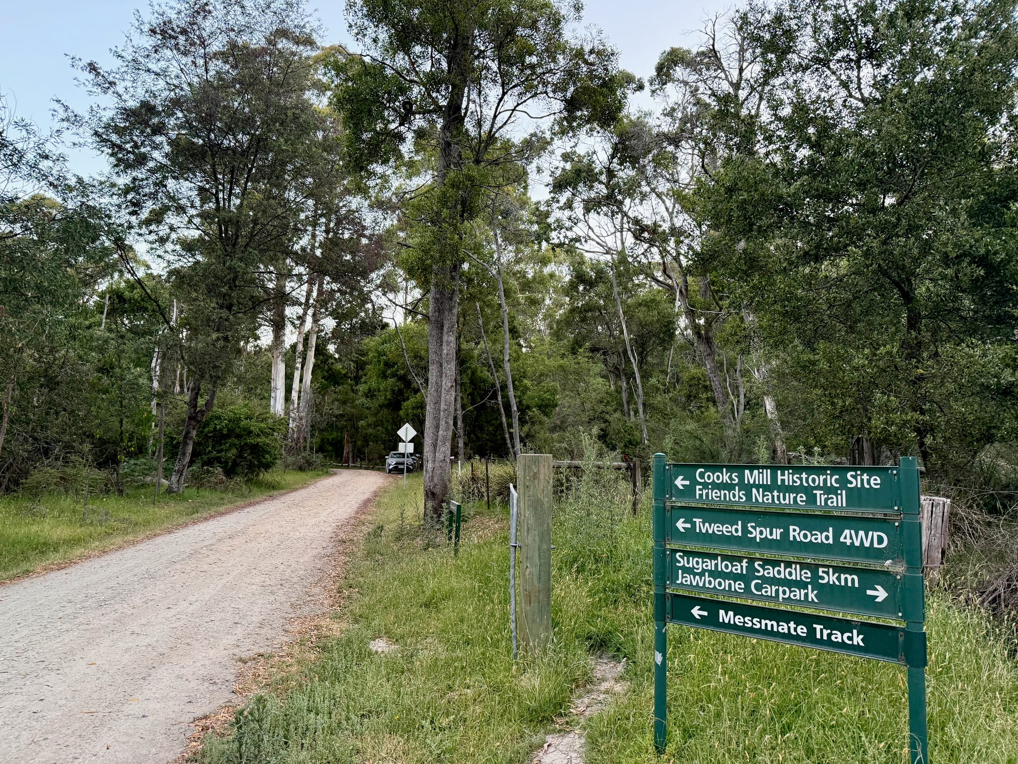
The camping area sits where Little River Road meets Lowerson Track, beside the Little River. Neds Gully camping area is a few kilometres north along the river, the Saint Bernards Track heads west to the Jawbone carpark at the foot of the range, and the Friends Nature Trail loops past the old mill site to the south-east. The Tweed Spur 4WD track runs south to Sugarloaf Saddle.
Facilities
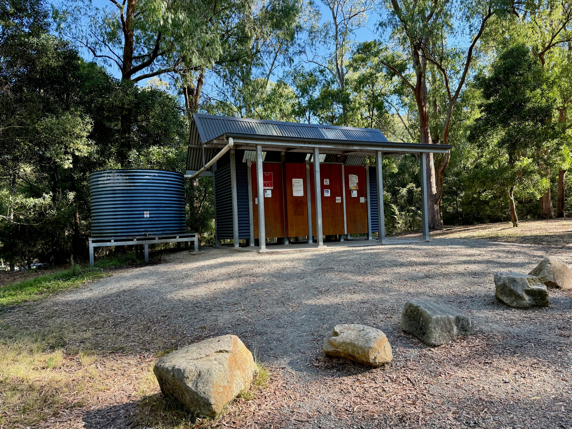
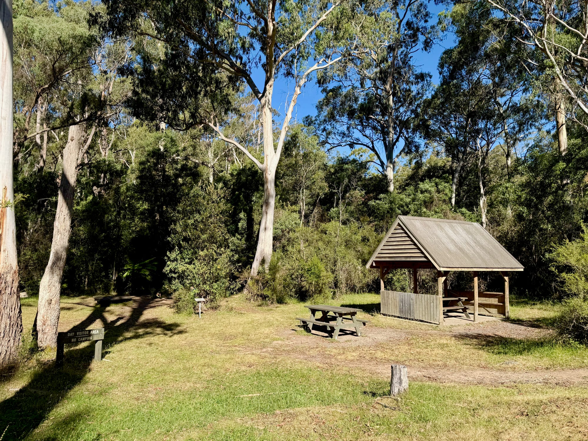
There’s a toilet block with non-flush toilets and a water tank, picnic tables, communal fireplaces and a picnic shelter. There’s no drinking water, so bring all your own, and no bins, so take your rubbish home. Fires are only allowed in the fireplaces, never on a Total Fire Ban day, and collecting firewood in the park isn’t allowed, so bring your own. Pets aren’t allowed in the park.
Evenings by the Little RiverLittle River
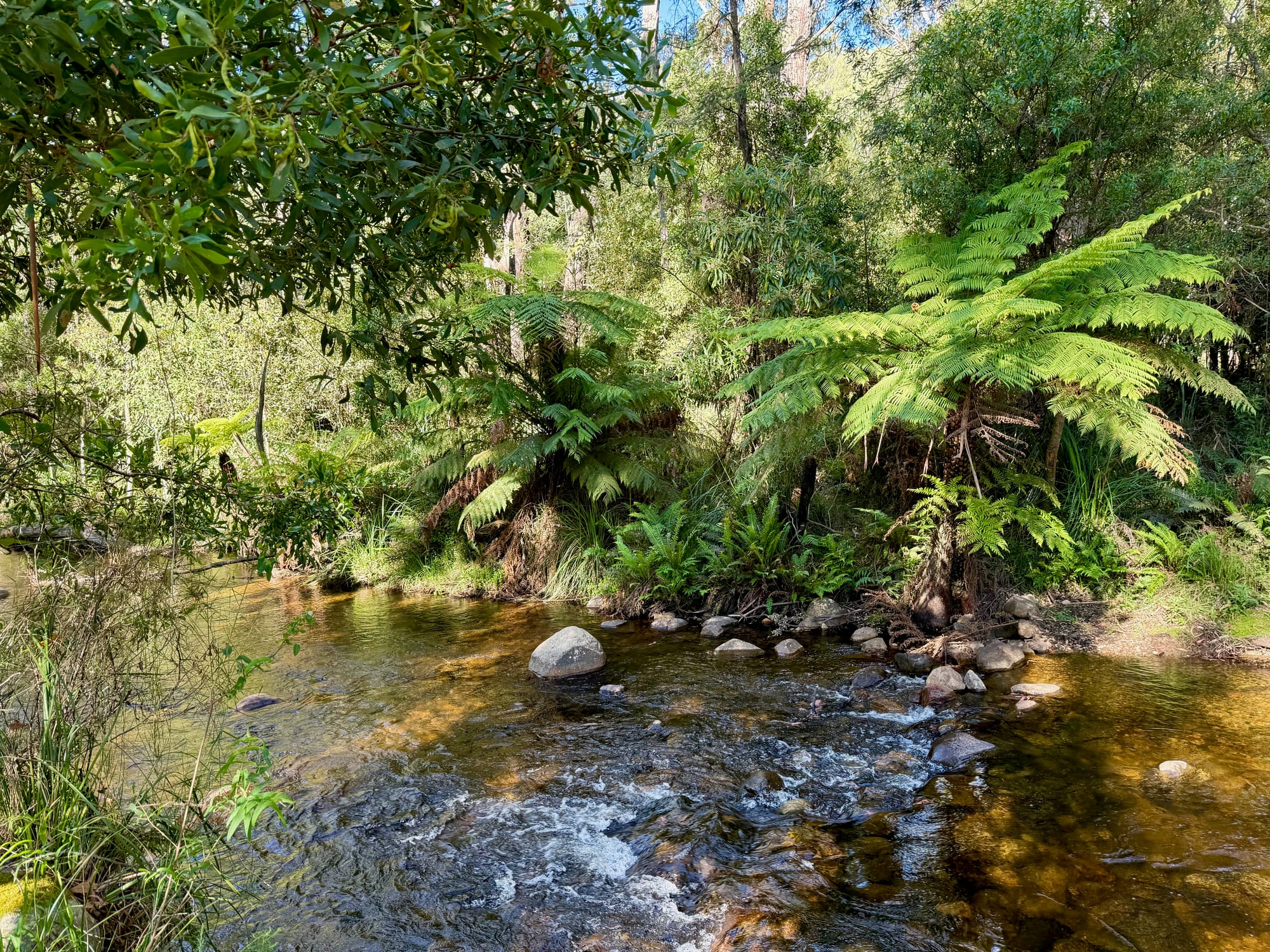
The Little River runs right past the campground, clear and shallow over the rocks, with tree ferns along the banks. It’s a lovely spot to sit by in the evening. The picnic shelter, with its tables, is on the grass right next to the river. The water isn’t safe to drink unless you boil or treat it.
Walks from Camp
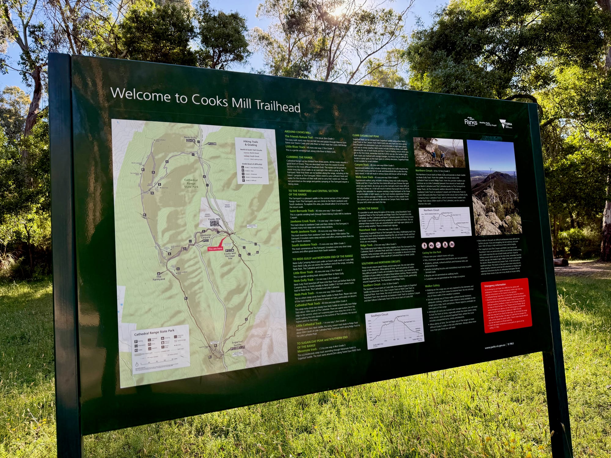
Several walks start from the trailhead at the campground. The distances and grades below are from the Parks Victoria board at the trailhead. From the Jawbone carpark, the harder climbs to North and South Jawbone and The Farmyard go on up the range.
- Friends Nature Trail
2 km
circuit, about 1 hour, Grade 2An easy family loop past the old mill site, through Manna Gum forest and over Storm Creek and the Little River.
- Little River Track
2.7 km
one way, about 45 min, Grade 3A gentle winding track along the Little River to Neds Gully camping area.
- Saint Bernards Track
1.5 km
one way, about 45 min, Grade 3Through the forest to the Jawbone carpark, the start of the climbs to North and South Jawbone.
- Messmate Track
4.4 km
one way, about 1.5 hours, Grade 3A moderately steep climb through Messmate forest to Sugarloaf Saddle, starting about 2 km along the Tweed Spur 4WD track.
Things to Do NearbyThings to do
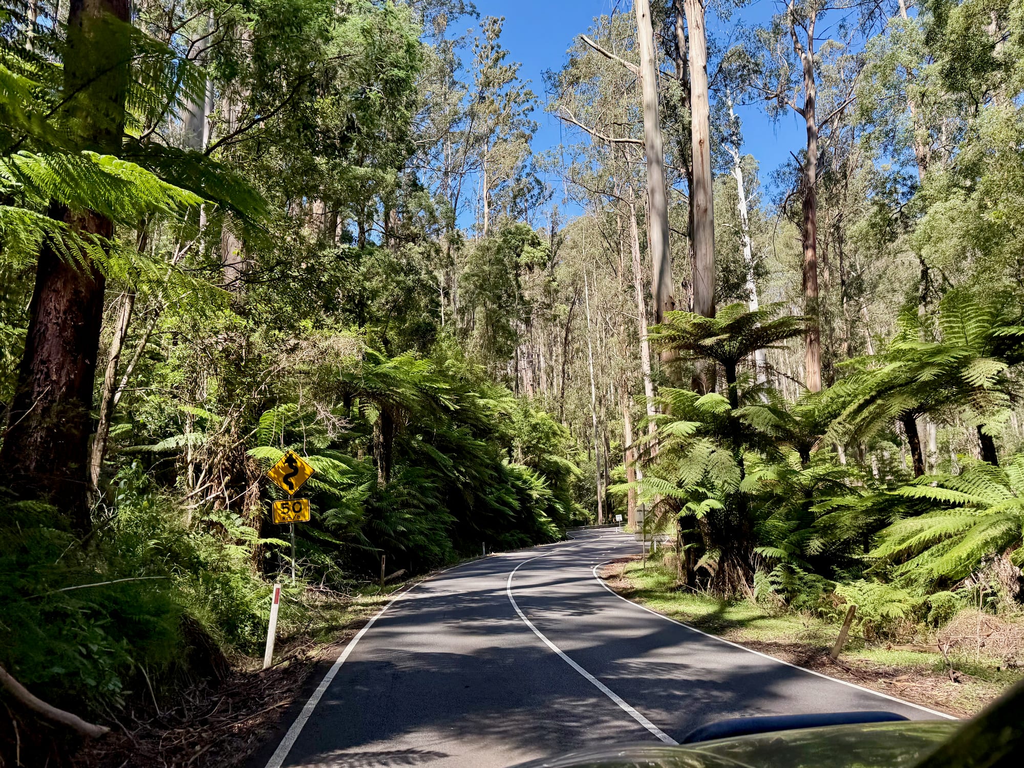
The Cathedral Range climbs are the big draw: from the Jawbone carpark the tracks go up to North and South Jawbone, and fit walkers can do whole circuits along the range. On the way in from Melbourne, the Black Spur on the Maroondah Highway is one of the most beautiful drives near the city, through tall mountain ash and tree ferns in Yarra Ranges National Park.
Summary
Cooks Mill is a hidden gem: big, quiet forest sites beside the Little River, with walks into the Cathedral Range starting from camp and hardly anyone around. Book ahead, pick your spot when you arrive, and bring your own water and firewood.
A hidden gem in the forest.
We didn’t expect much from Cooks Mill, but it turned out to be one of our favourite camps of the trip: big, unmarked sites tucked into the trees beside the Little River, hardly any other campers near us, and walks into the Cathedral Range starting right from camp. Bring your own water and firewood.
- Couples
- Hikers
- 4WD tourers
Yes. $35.60 a night gets you a quiet forest site by the river, with walks from camp, a couple of hours from Melbourne.
Recommended Gear for Cooks Mill
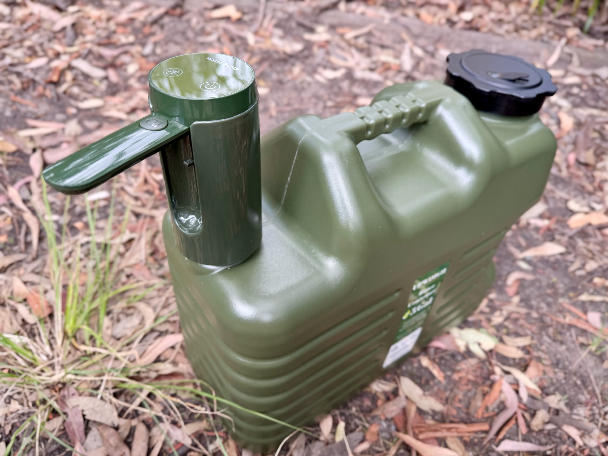
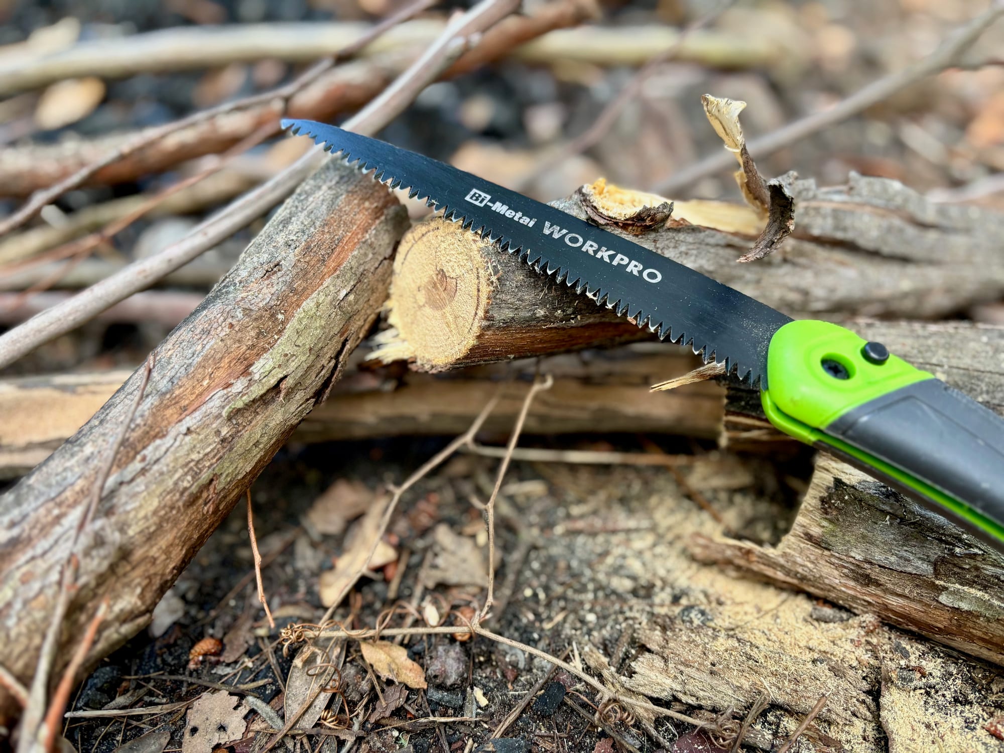
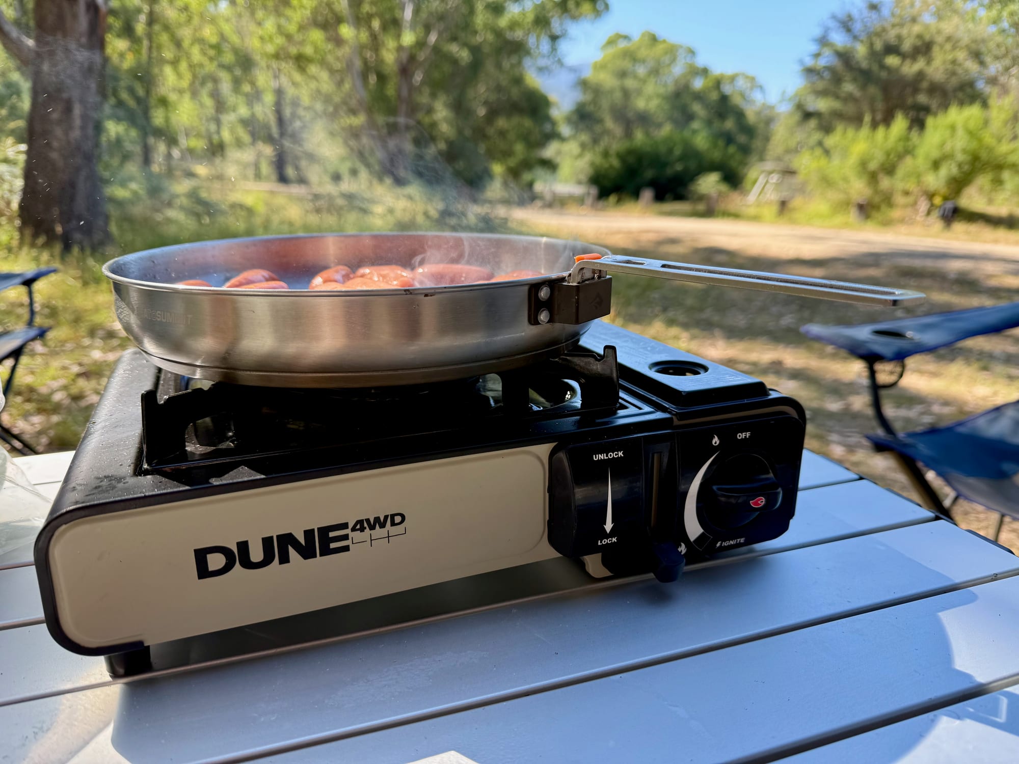
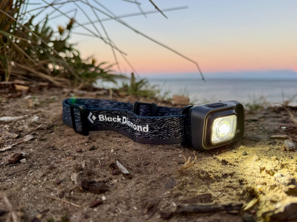
There’s no drinking water, so carry plenty in good water containers. You’ll need your own firewood, and a folding saw makes it easy to cut to size. On fire ban days, cook on a gas stove like the Dune single burner, and a headlamp like the Black Diamond Astro 300 helps on the walk to the toilets after dark.