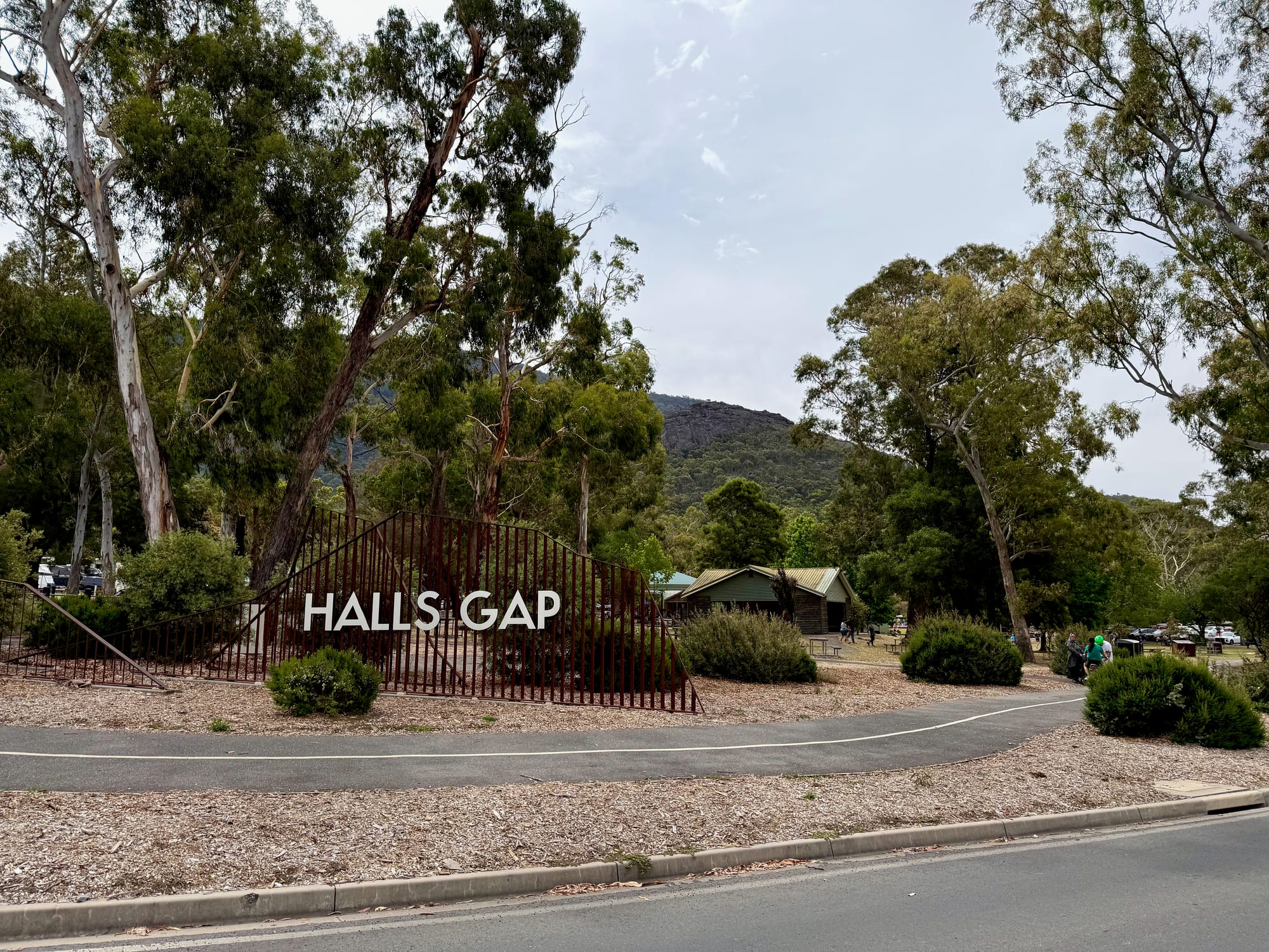
Halls Gap is the small town in the middle of the Grampians, tucked under the cliffs of the Wonderland Range, and sooner or later every trip through the park passes through it. We stopped around midday on our second day, between the sandy tracks of the north and the Pinnacle walk just above town, came back through after the walk, and drove through again on our last morning on the way to Melbourne.
About Halls GapAbout
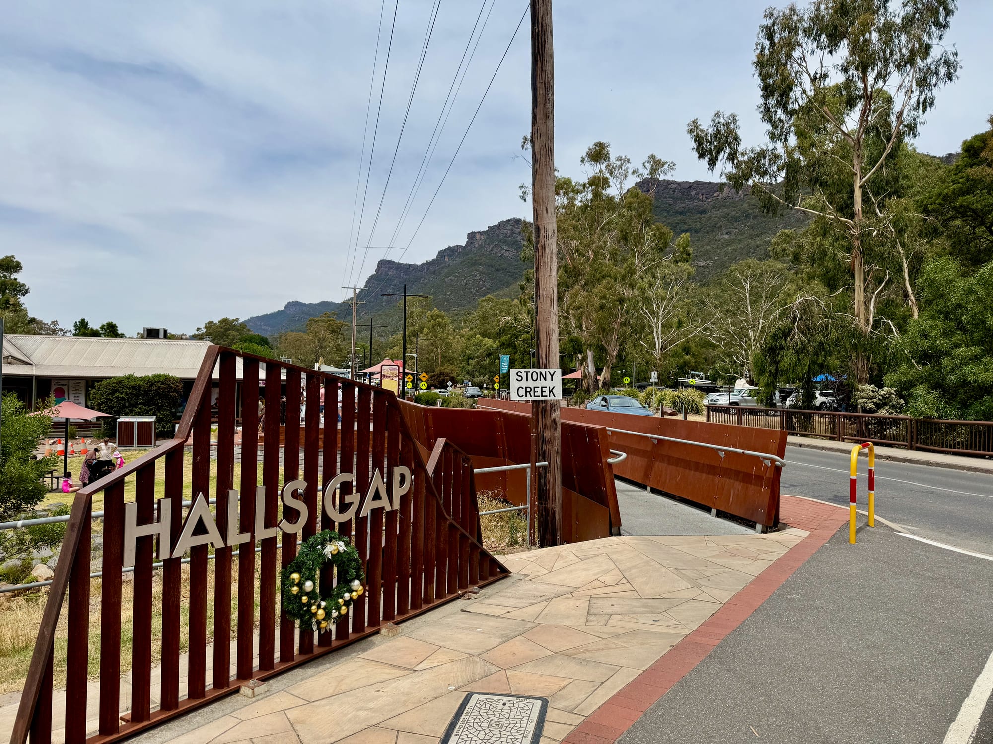
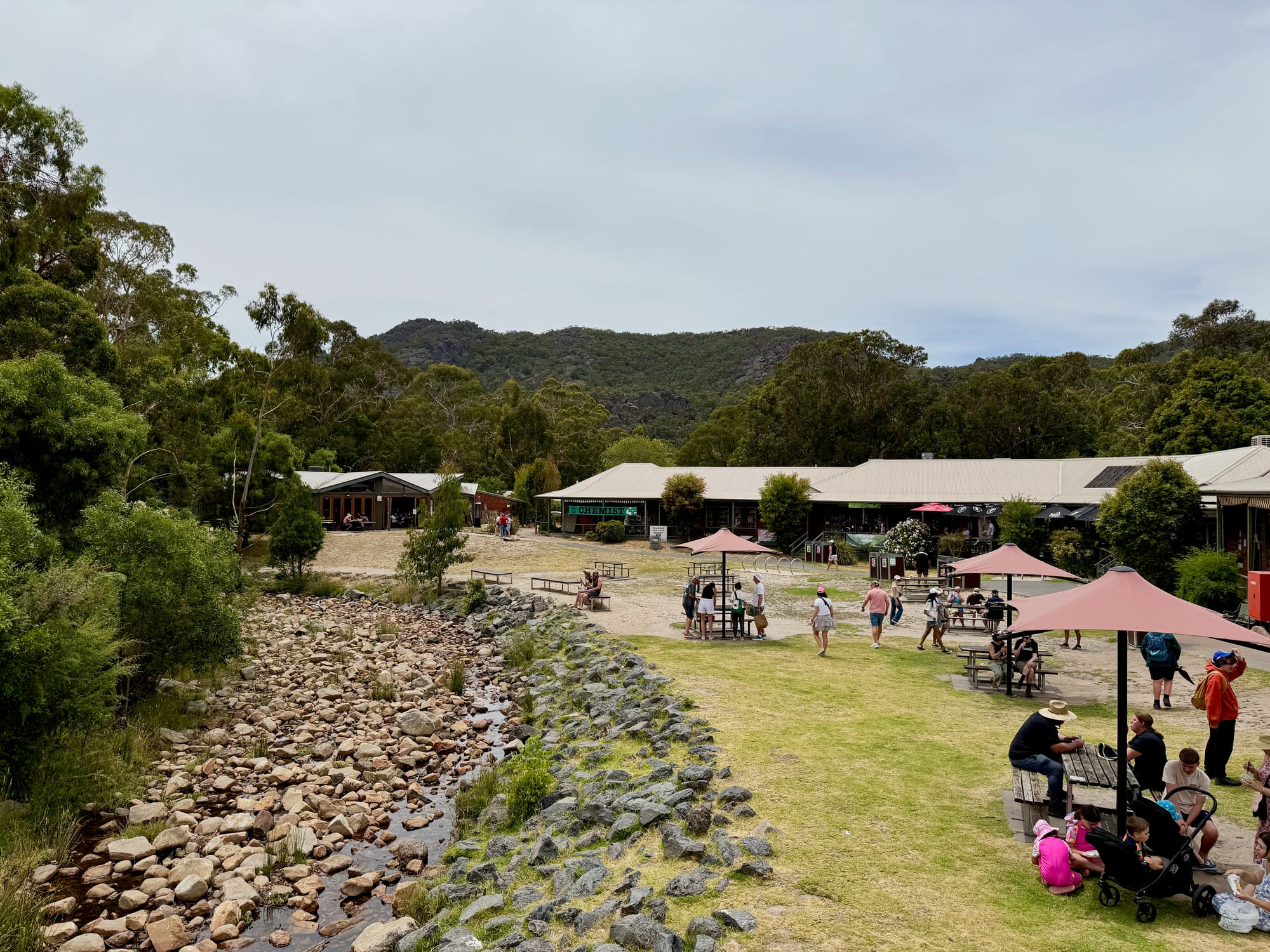
The town sits along Stony Creek at the foot of the ranges, a strip of cafes, shops, accommodation and a petrol station on the main road, with the national park on every side. It’s the main base for exploring Grampians (Gariwerd) National Park. Brambuk the National Park and Cultural Centre is here, which began with the Brambuk Cultural Centre in 1989 to share the cultures of the Jadawadjali and Djab Wurrung Peoples, and the Grampians Peaks Trail passes through town.
Quick facts
- AddressHalls Gap VIC 3381, AustraliaSee on the trip map →
- FacilitiesRestaurantStoreFuelToiletsPicnic AreasWalking Trails
- Good to knowVisitor centre 9–5 dailyBusy in holidaysFirewood for sale
- FeesFree to visit
- 9.1/10Overall rated
Getting There
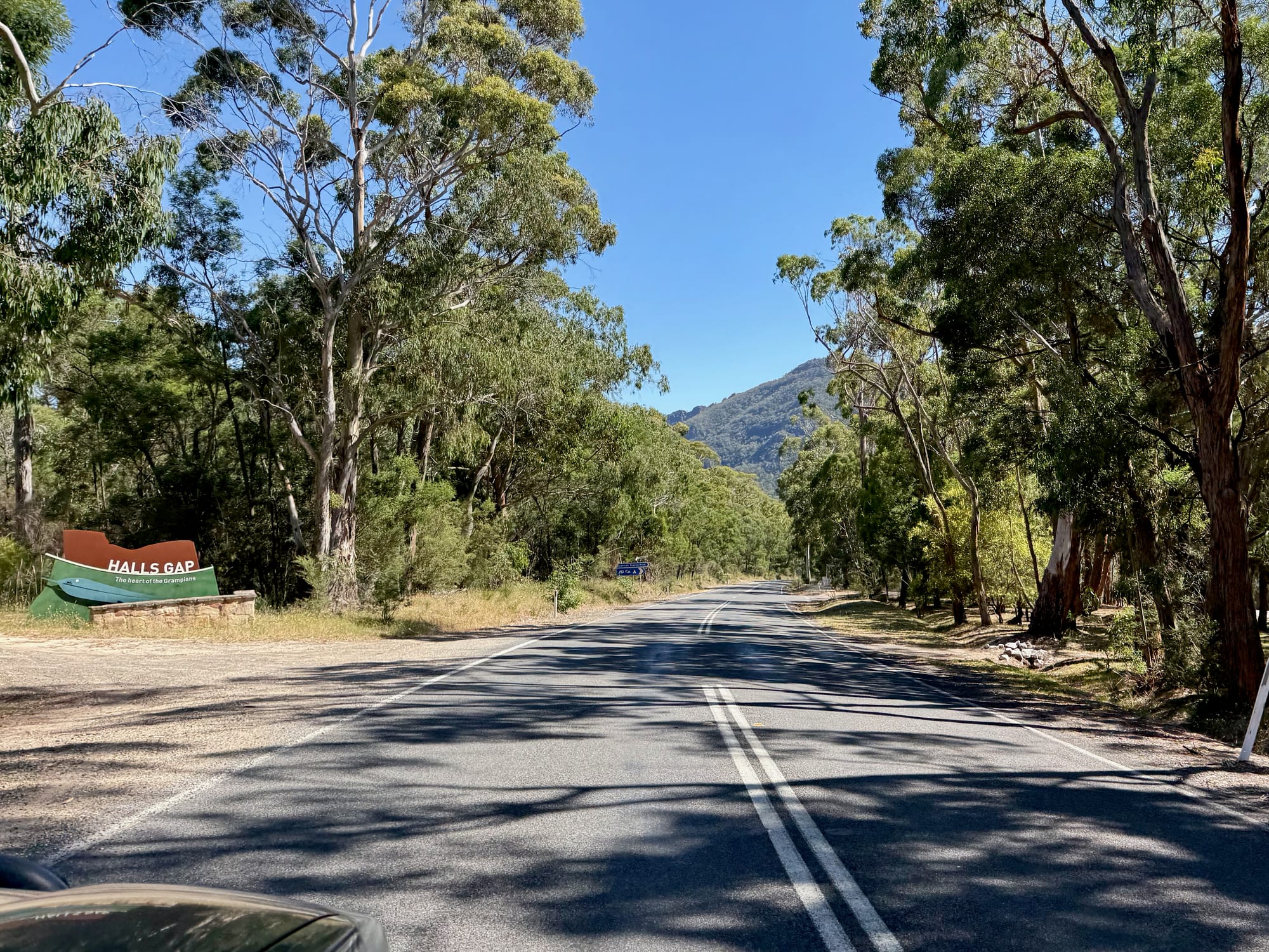
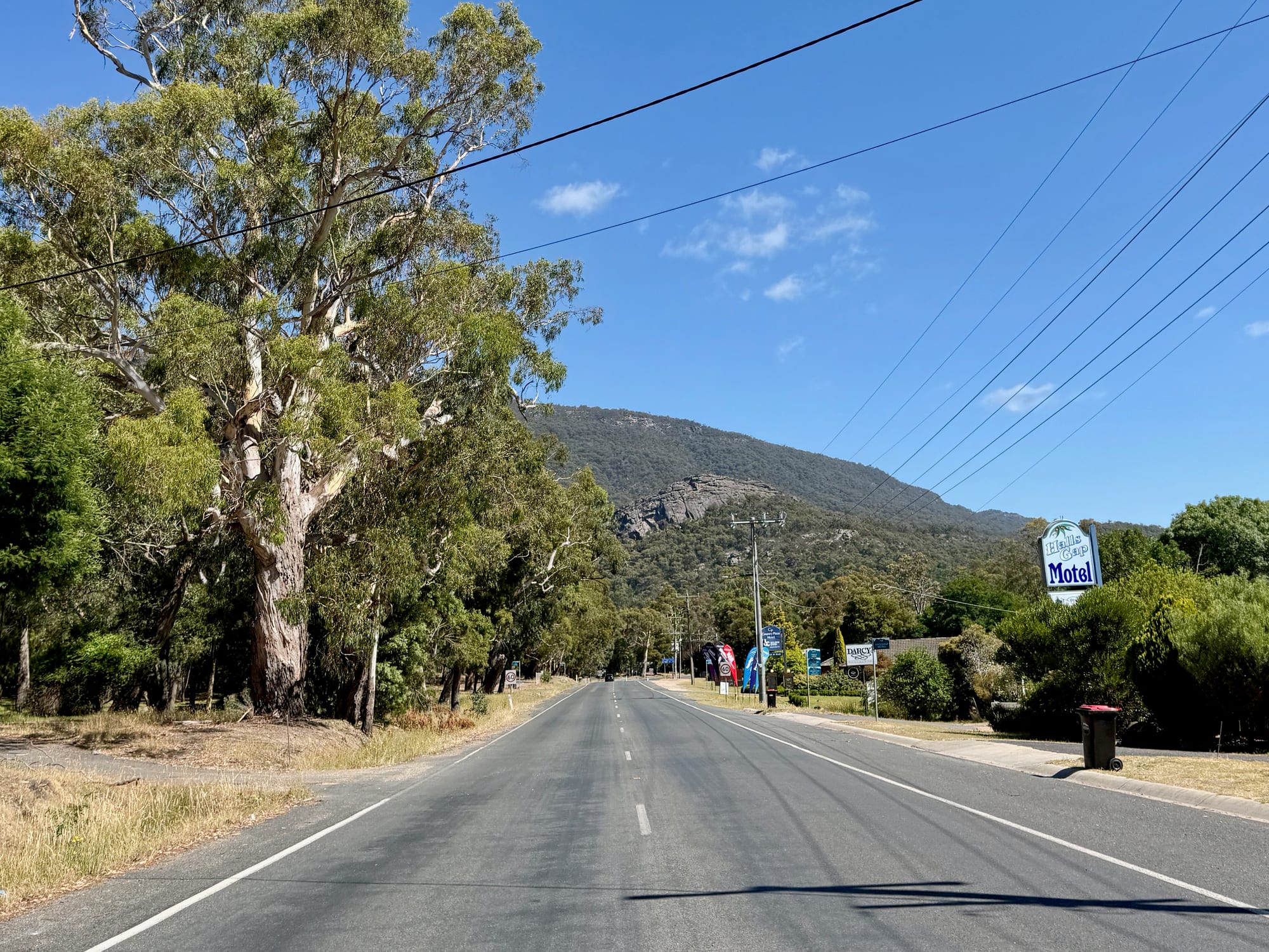
Halls Gap is on sealed roads from Stawell on the Western Highway, and from Ararat and Dunkeld to the south-east and south. Coming from the north of the park, Mt Zero Road brings you down past Plantation Campground.
A Wander Around TownThe town
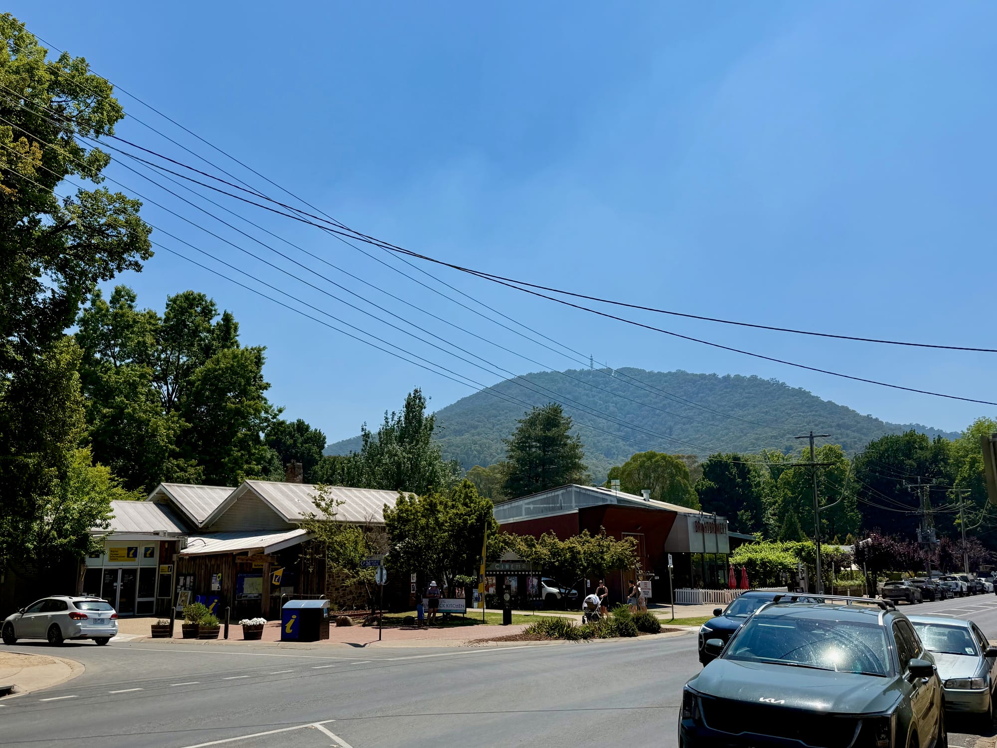
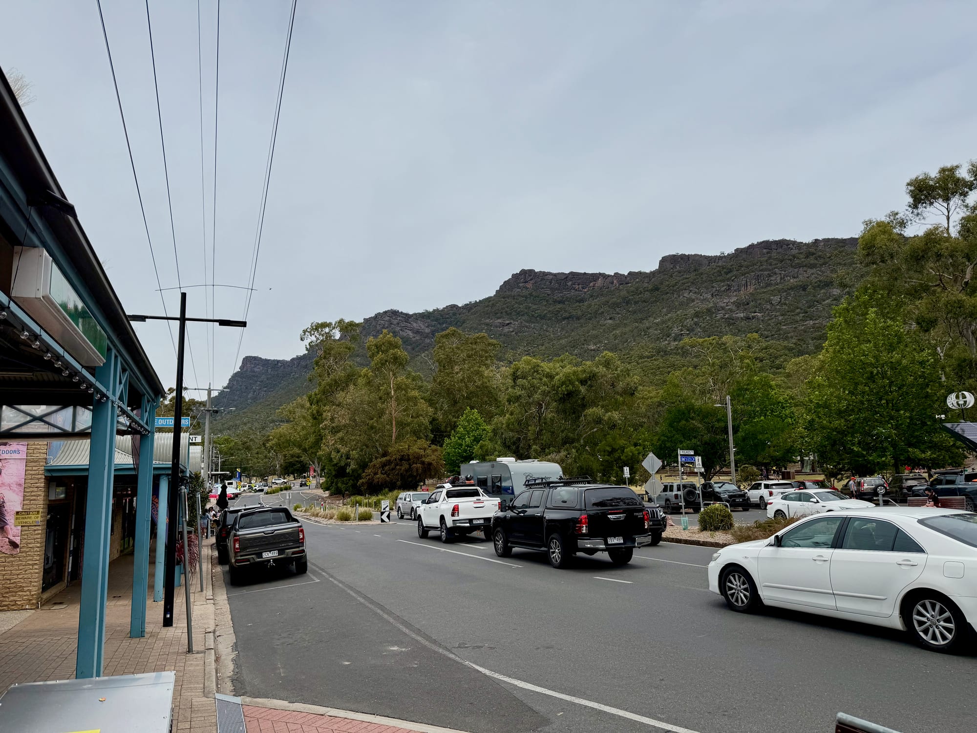
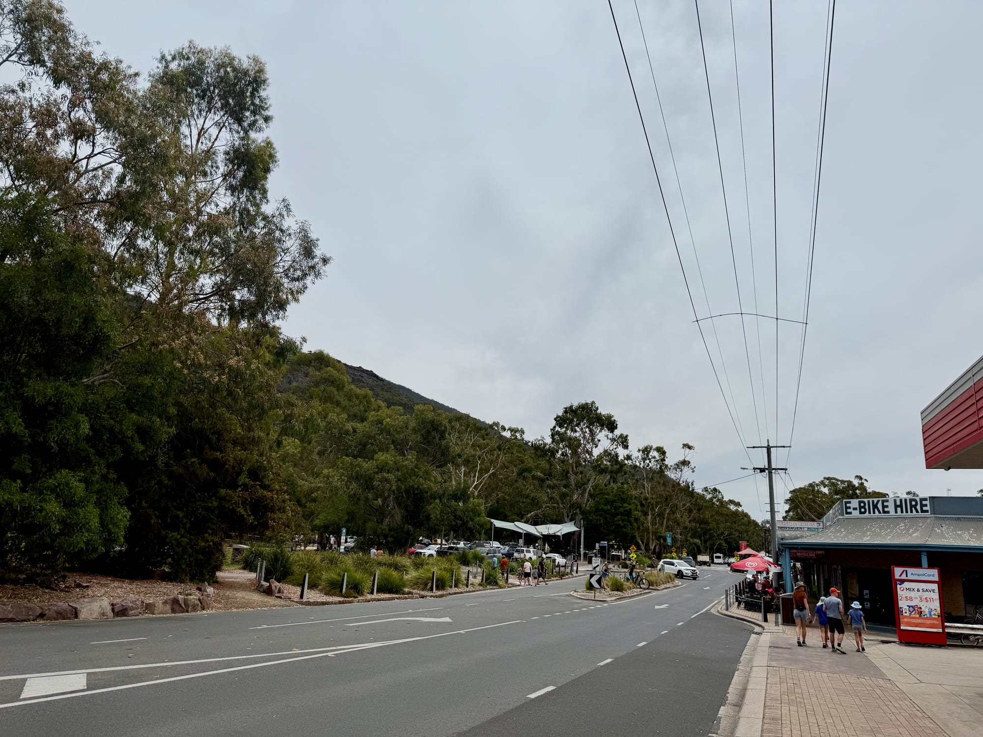
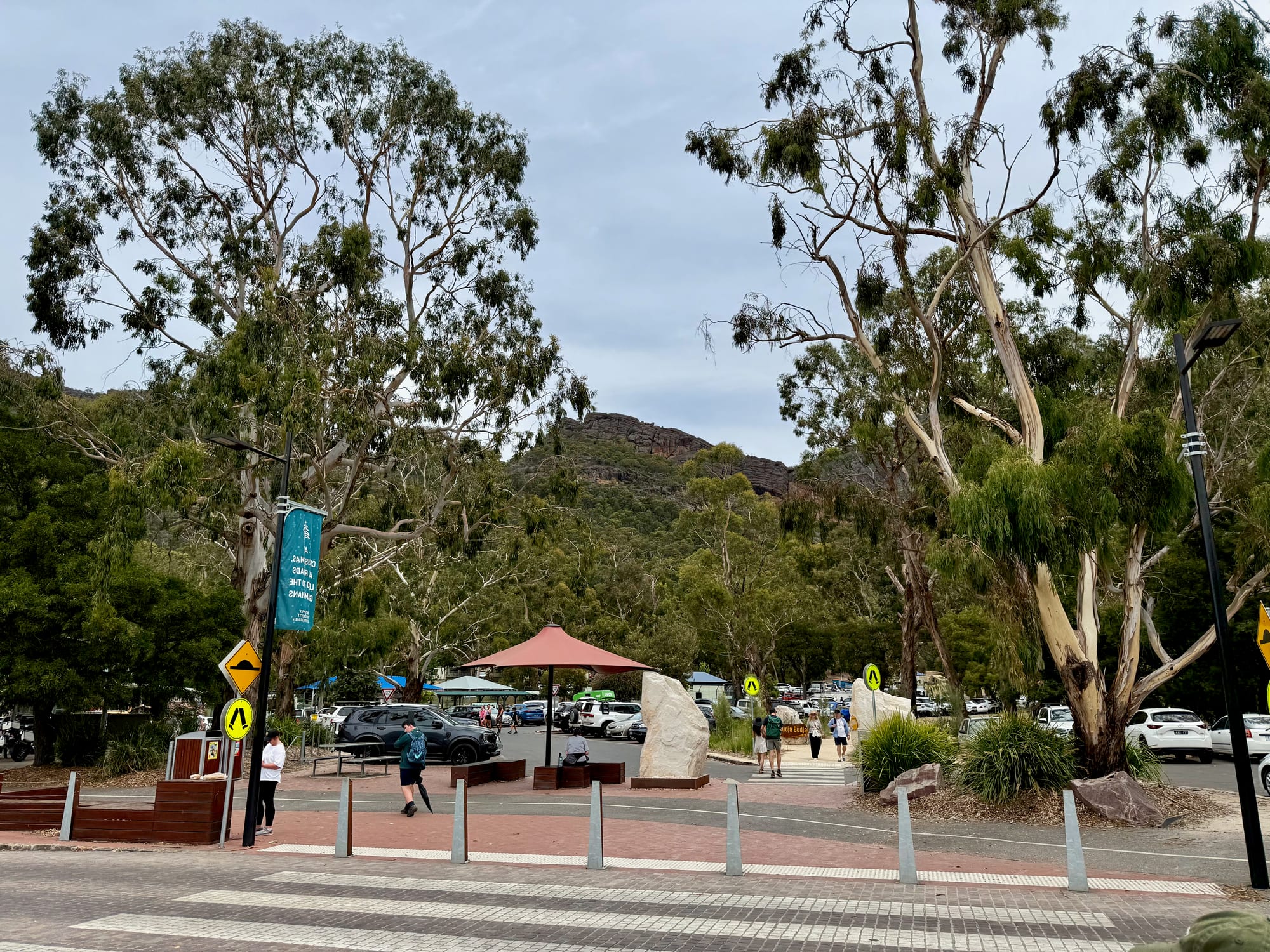
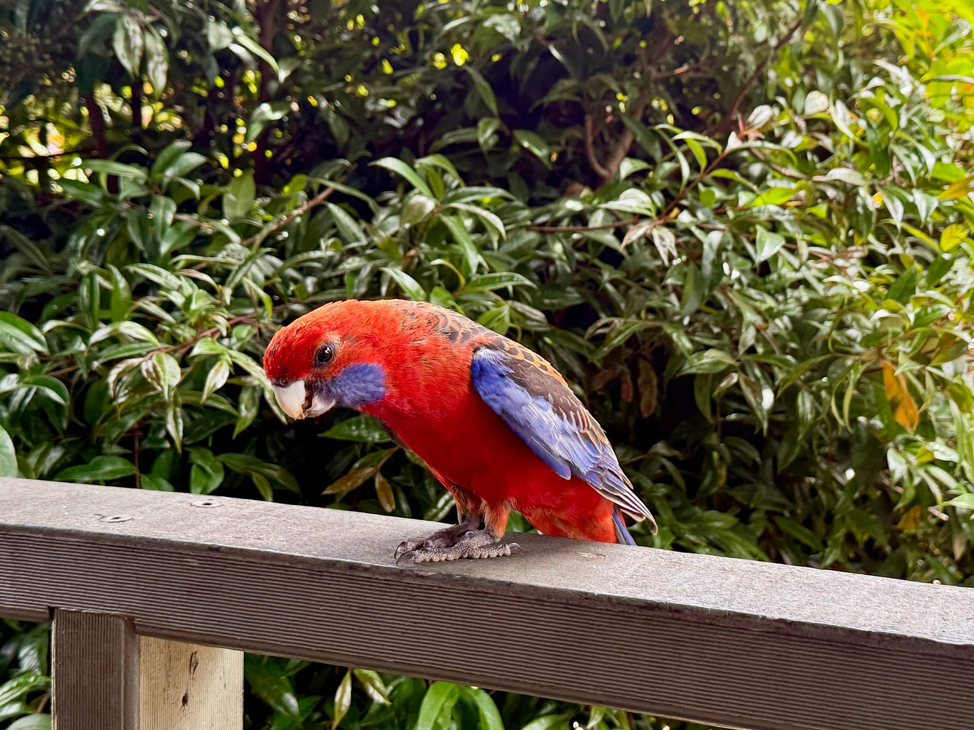
Halls Gap is small and easy to walk around. Across the main street from the shops there’s a big car park right under the range, so parking is easy even with a rooftop tent. The cafes and shops are spread along the main road and around the creek, with lawns and umbrellas out the front and the cliffs of the range right above. Crimson rosellas flit between the trees and the cafe railings, so keep an eye on your lunch. It was busy with families and walkers when we were there in early January.
Start at the Visitor CentreVisitor centre
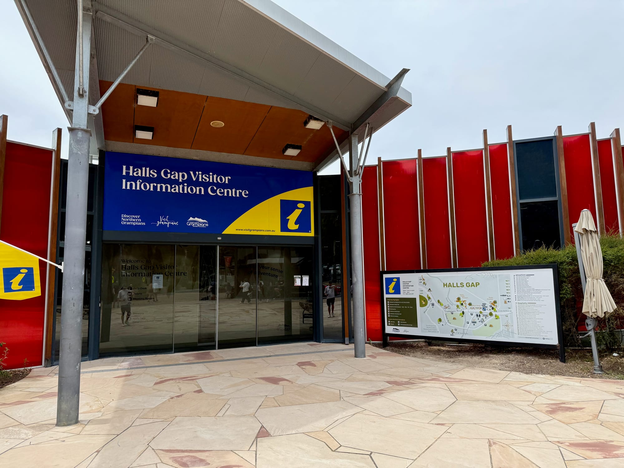
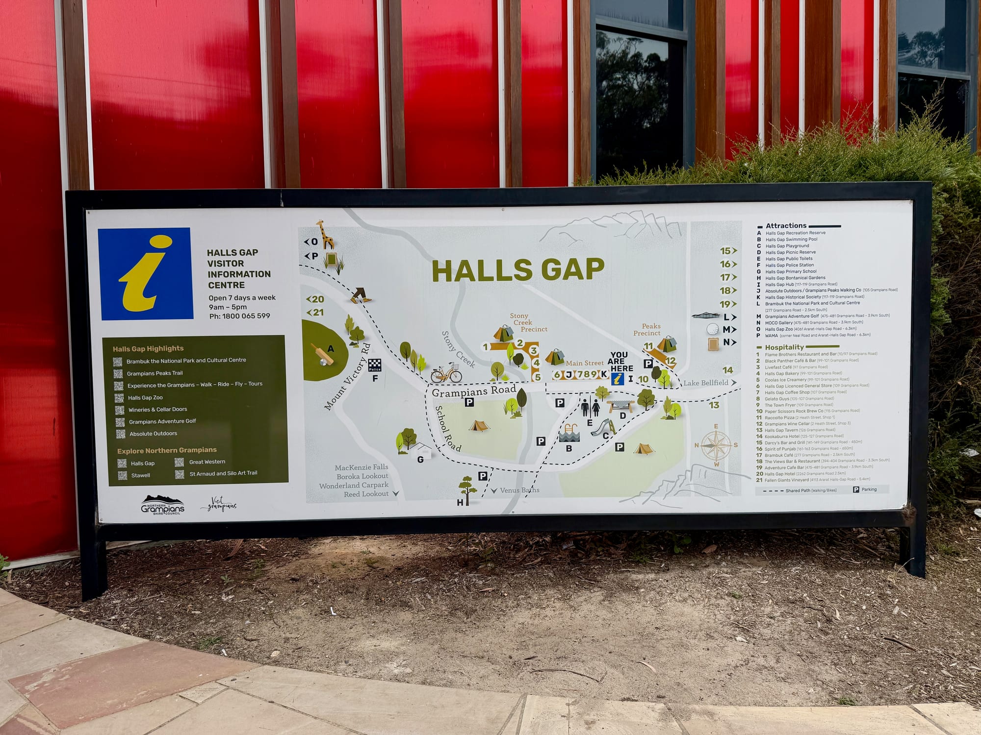
The Halls Gap Visitor Information Centre is in the middle of town and open seven days a week, 9 am to 5 pm. It’s the place to pick up a park map and ask about the walks. The map board outside shows the town and lists its highlights: Brambuk the National Park and Cultural Centre, the Grampians Peaks Trail, walking, riding and flying tours, Halls Gap Zoo, wineries and cellar doors and adventure golf.
Walking the Grampians Peaks TrailPeaks Trail
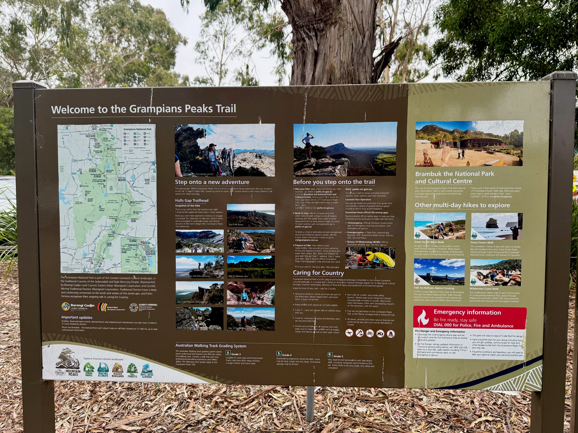
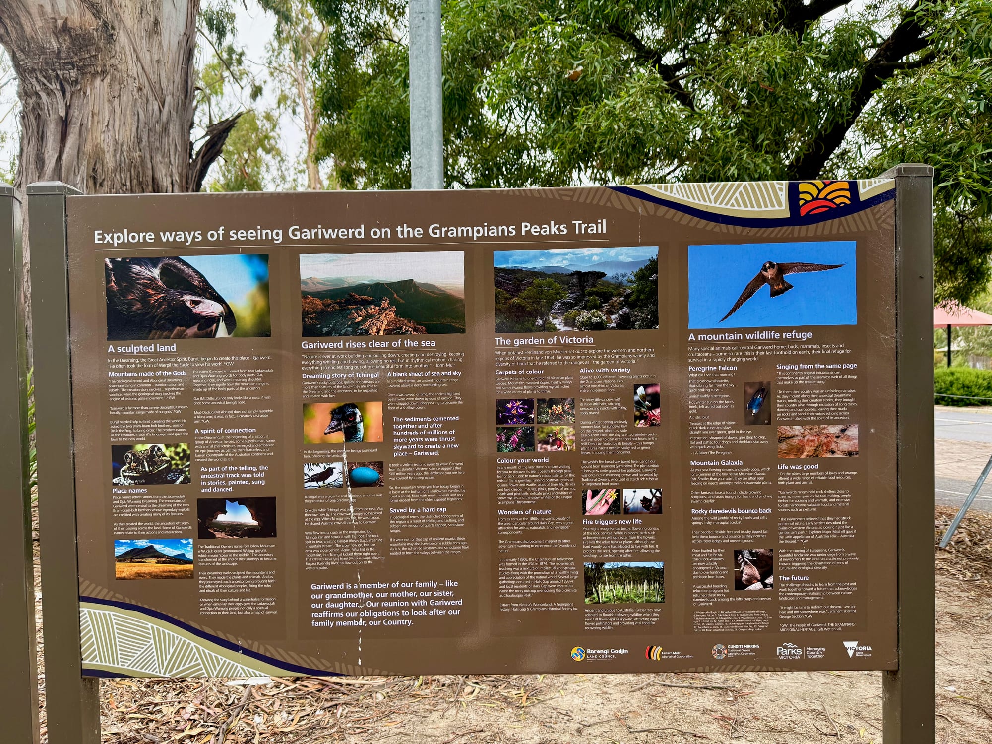
The Grampians Peaks Trail runs 160 km along the ranges, from Mt Zero in the north, through Halls Gap, to Dunkeld in the south. Walked end to end it takes 13 days, but you can do it in shorter sections. Halls Gap is one of its trailheads, and the boards in town welcome you to the trail, with a map, the walking track grades and what to check before you set off, plus a board on the ways of seeing Gariwerd along the way: the sculpted land, its plants and its wildlife.
Stocking Up Between CampsStocking up
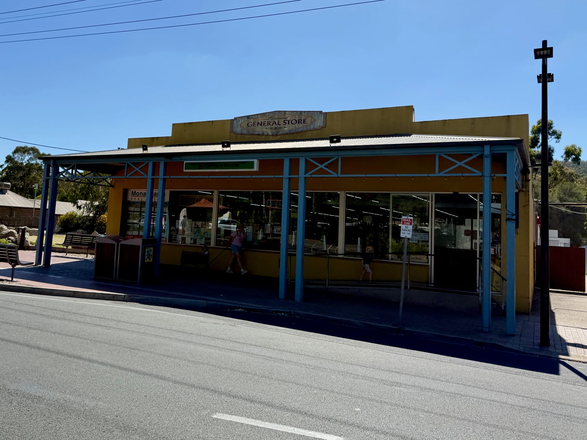
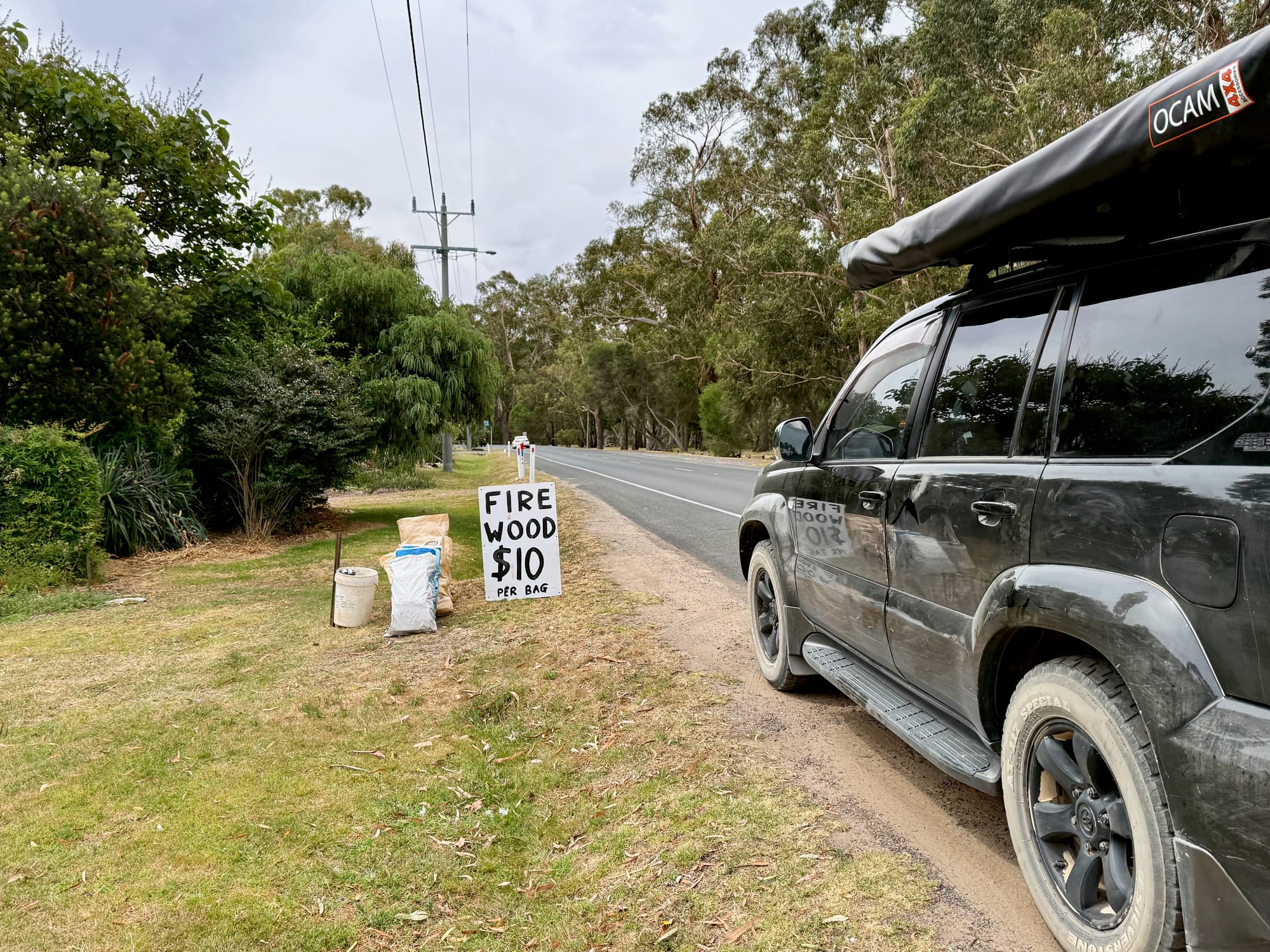
This is the place to restock between camps. The licensed general store on the main road has groceries and drinks. You can’t collect firewood in the national park, and on the edge of town, on our way to Jimmy Creek, we passed bags of firewood for sale by the road for $10 a bag. Fill your water containers here too, as none of the park campgrounds have drinking water.
Things to Do NearbyThings to do
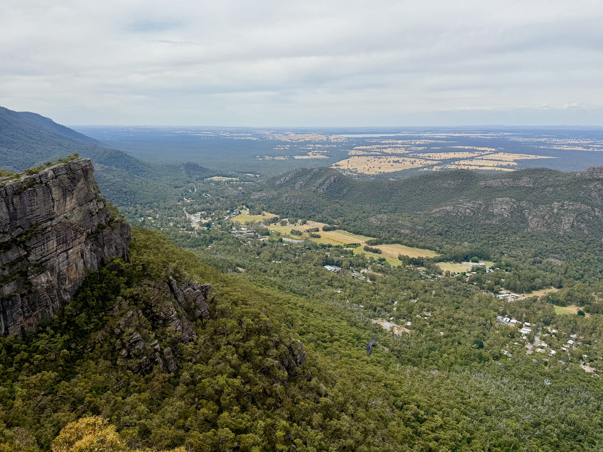
The Pinnacle walk from Sundial Carpark starts just above town and looks down on it, and Lake Bellfield is a few minutes south on Grampians Road. The free Plantation Campground is a short drive north on Mt Zero Road.
Summary
Halls Gap is the easy base in the middle of the Grampians: cafes and shops under the ranges, the visitor centre, rosellas in the trees and firewood by the road, with the Pinnacle just above town and Lake Bellfield a few minutes away. Stop for lunch, stock up, and plan your walks.
The easy base in the middle of the Grampians.
Halls Gap is a small town of cafes, shops and a visitor centre right under the ranges, with crimson rosellas in the trees and the Pinnacle walk just above town. It’s busy in the holidays, but it’s the place to stock up, grab lunch and plan your walks.
- Travellers
- Families
- Hikers
Yes. It’s free to wander, it has everything you need to restock between camps, and the best walks in the park start just above town.
Recommended Gear for Halls Gap
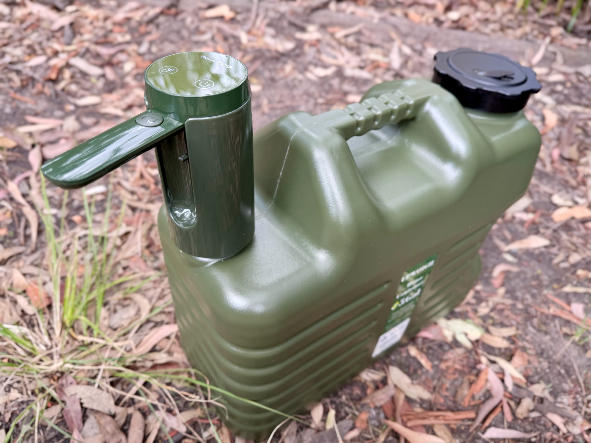
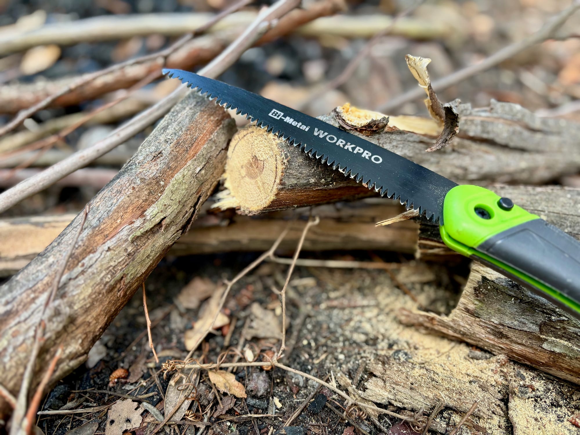
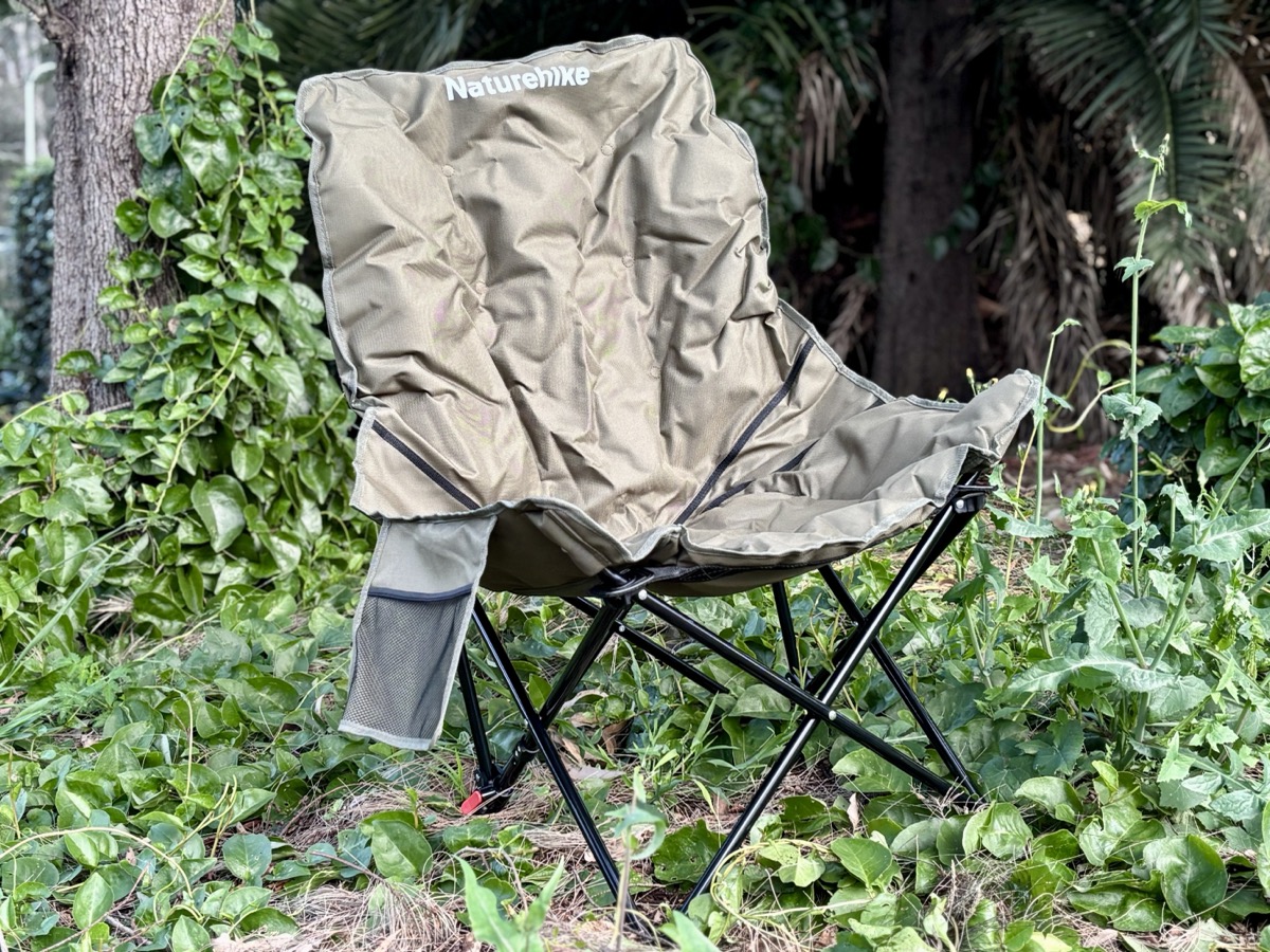
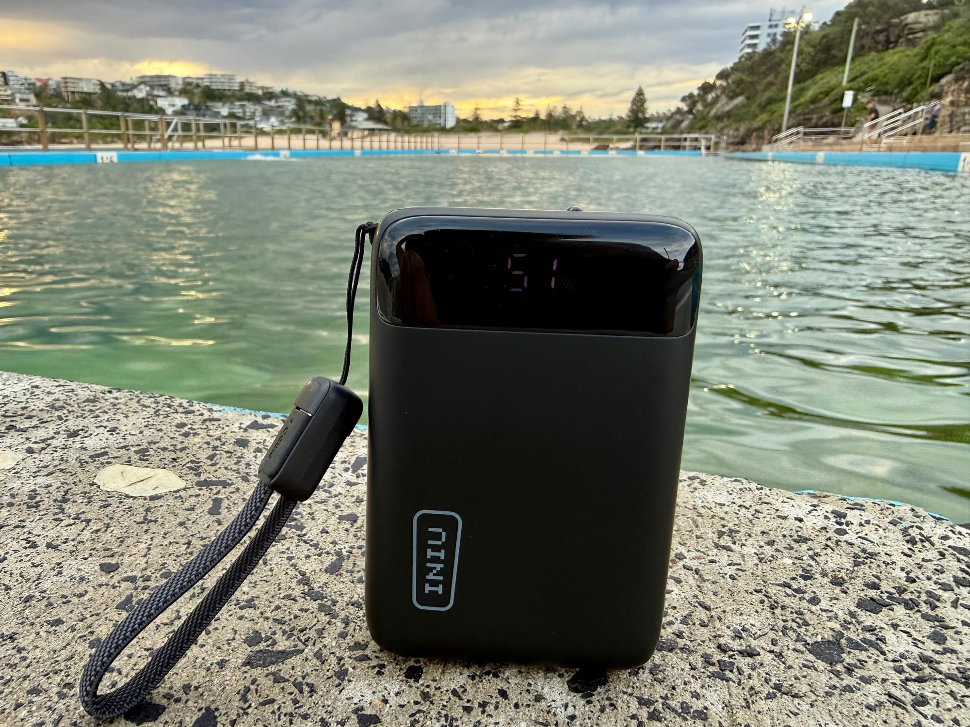
The park campgrounds have no drinking water, so fill good water containers in town, and a folding saw helps with the firewood you buy. A pair of camping chairs makes a picnic by the creek easy, and a power bank keeps your phone charged for the walks.