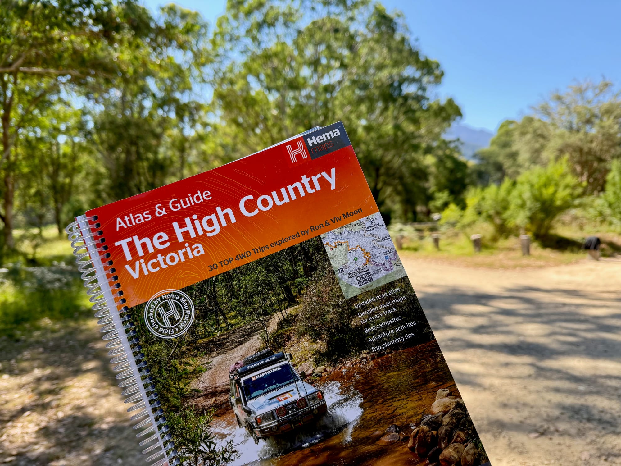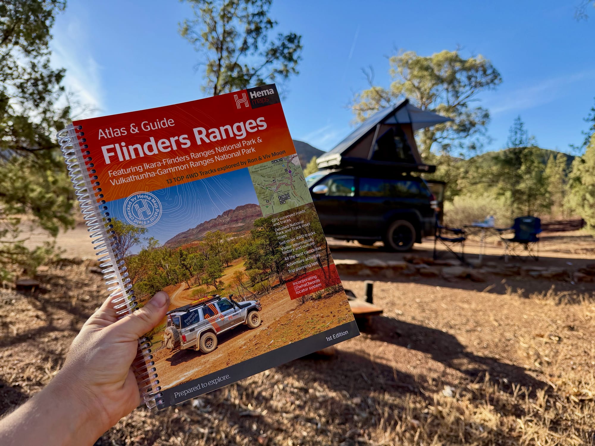
Phone signal drops out not long after you leave the bitumen in the Flinders Ranges. We always have Google Maps downloaded so it works offline, and the Hema Flinders Ranges Atlas & Guide rides along as a handy backup. We took it on a big trip in December 2025, from Sydney to the Flinders Ranges and then on to the Grampians, Melbourne and home through the High Country. In the Flinders we stayed around Wilpena Pound and drove one of its 4WD tracks. It’s an atlas and a guidebook in one spiral-bound book, and we paid $50 for it.
What You’re Getting
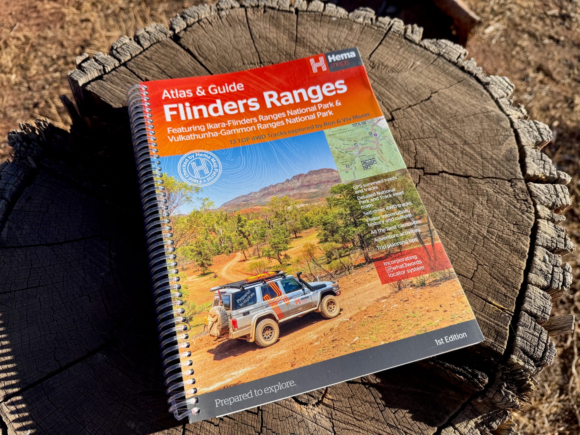
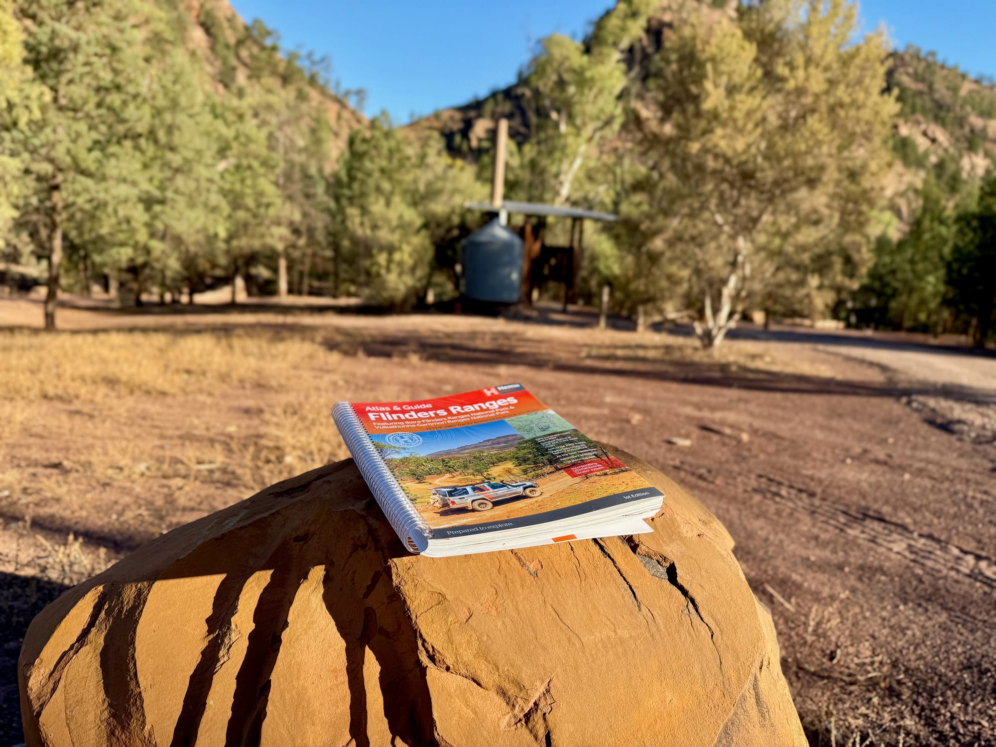
A spiral-bound book of 208 pages, close to A4 in size. The front part is an atlas of the region, and the rest is a guidebook: 4WD tracks, campsites, walks, towns, national parks and station properties, with a lot of photos. The cover names the two national parks it features, Ikara-Flinders Ranges and Vulkathunha-Gammon Ranges, and the 13 4WD tracks explored by Ron and Viv Moon.
What we like
- Atlas and guidebook in one
- 13 4WD tracks with inset maps
- Covers the whole Flinders Ranges
- Campsites, walks and station stays
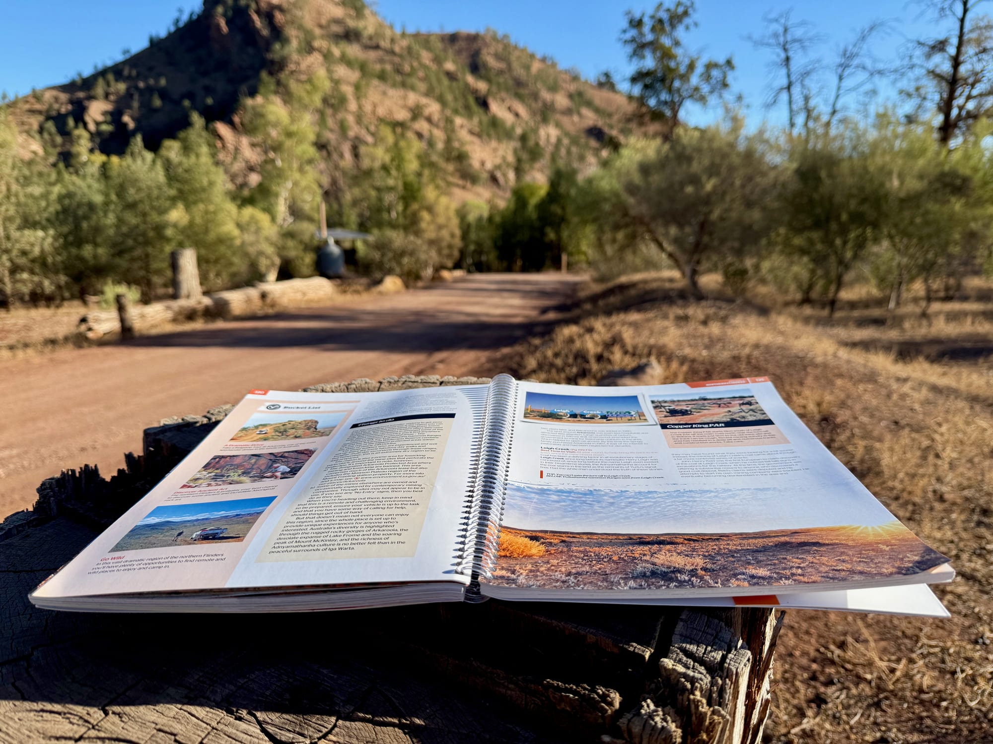
- Spiral bound: lies flat
- No signal or battery needed
What we don’t
- Big and heavy: A4 size and 0.99 kg
- Not detailed enough for bushwalking
- Opening times and details can date
Quick Specs
| Spec | Details |
|---|---|
| Weight | 0.99 kg |
| Size | 22.8 × 29.8 cm |
| Publisher | Hema Maps |
| Title | Flinders Ranges Atlas & Guide |
| Edition | 1st |
| Pages | 208 |
| Atlas | 20 pages at 1:400,000 |
| 4WD tracks | 13With inset maps |
| Binding | Spiral |
What it covers
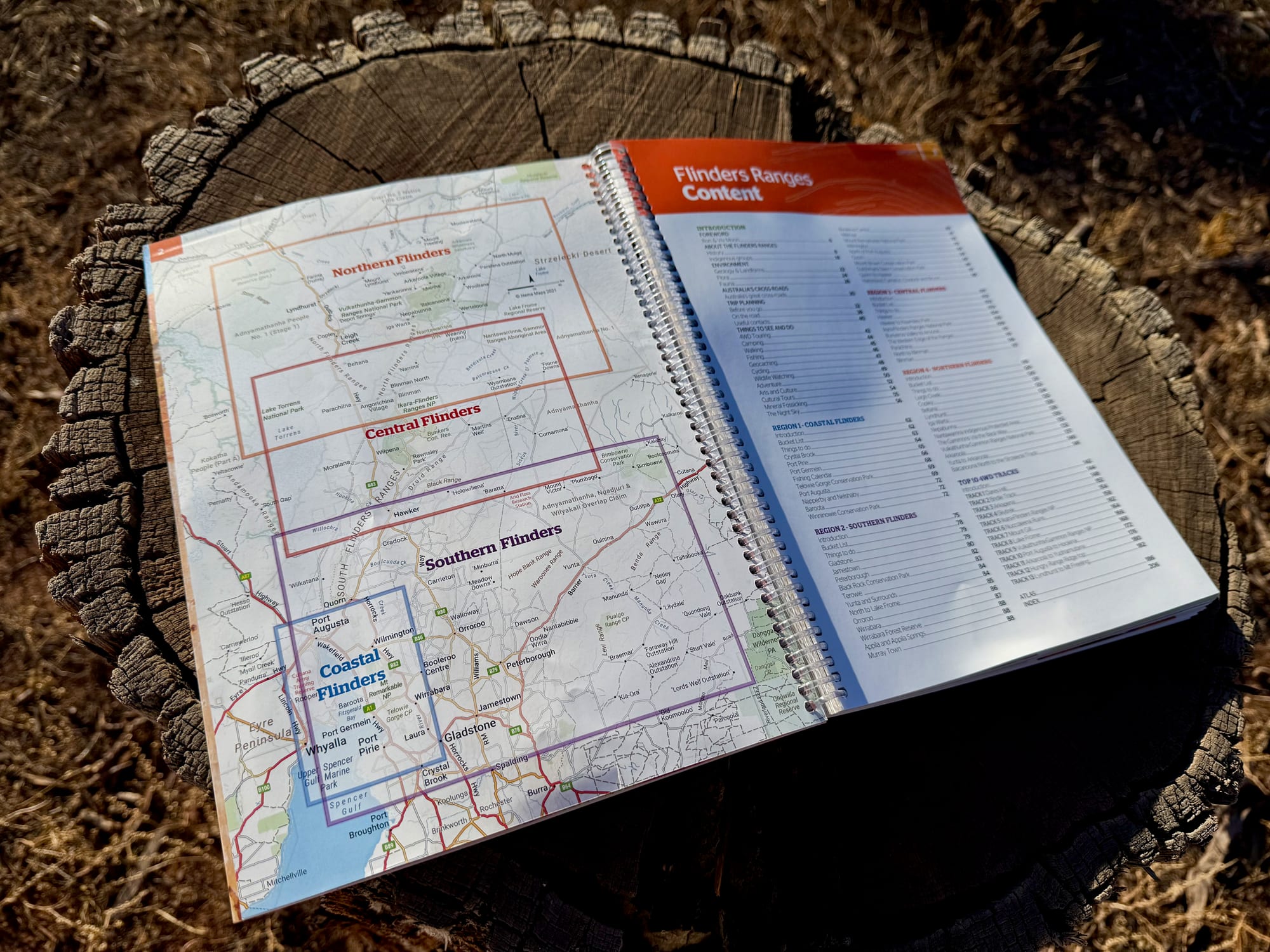
The book covers the whole of the Flinders Ranges, from the southern tip where the ranges meet the Spencer Gulf to beyond Arkaroola and the Gammon Ranges in the far north. A key page at the front splits that into four regions: Northern, Central, Southern and Coastal Flinders. Each has its own chapter, so you can turn straight to the part you’re driving through.
That’s the first thing a paper atlas does better than a phone: you see the whole region on one page and can work out what fits into the days you have.
Heading somewhere else? Hema makes the same kind of book for other regions, including the Victorian High Country, the Kimberley, Tasmania, and the Top End and Gulf. See our guide to Hema Maps, or all the Hema Atlas & Guides.
The maps
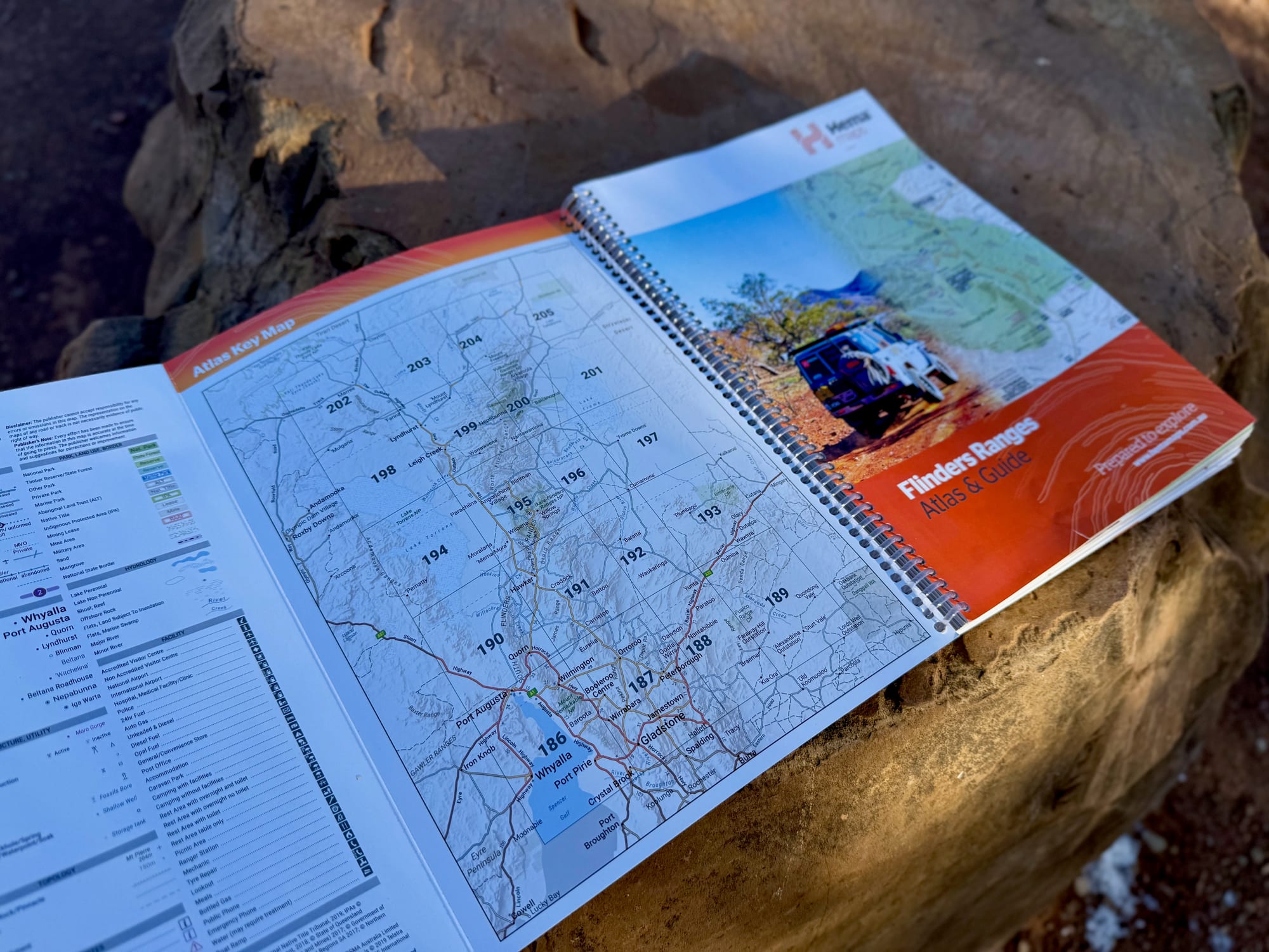
The atlas section is 20 pages at a scale of 1:400,000, with a key map that shows which page covers which area. Hema says the maps have been field checked by its Map Patrol. At that scale you get the roads, tracks, parks and campsites for driving and planning, which is what the book is for.
It’s not the scale for bushwalking. For a walk like Wilpena Pound you’ll want a more detailed map of that area as well.
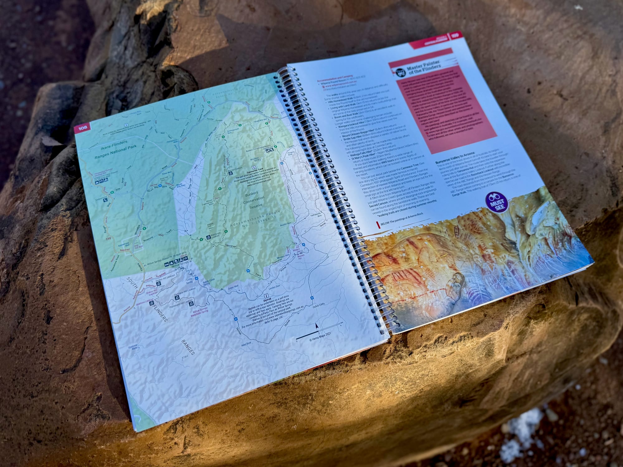
Many of the guide pages have a map of their own next to the text, so you don’t have to flip back to the atlas while you read about a place.
4WD tracks and guide pages
The guide includes 13 of Hema’s favourite 4WD tracks in the region, each with an inset map. They run from the rolling southern ranges to the more remote and rugged north.
We stayed around Wilpena Pound and did Track 5, “Ikara-Flinders Ranges NP”, which runs through the national park. Having the track laid out on its own map, with the notes next to it, made it easy to follow.
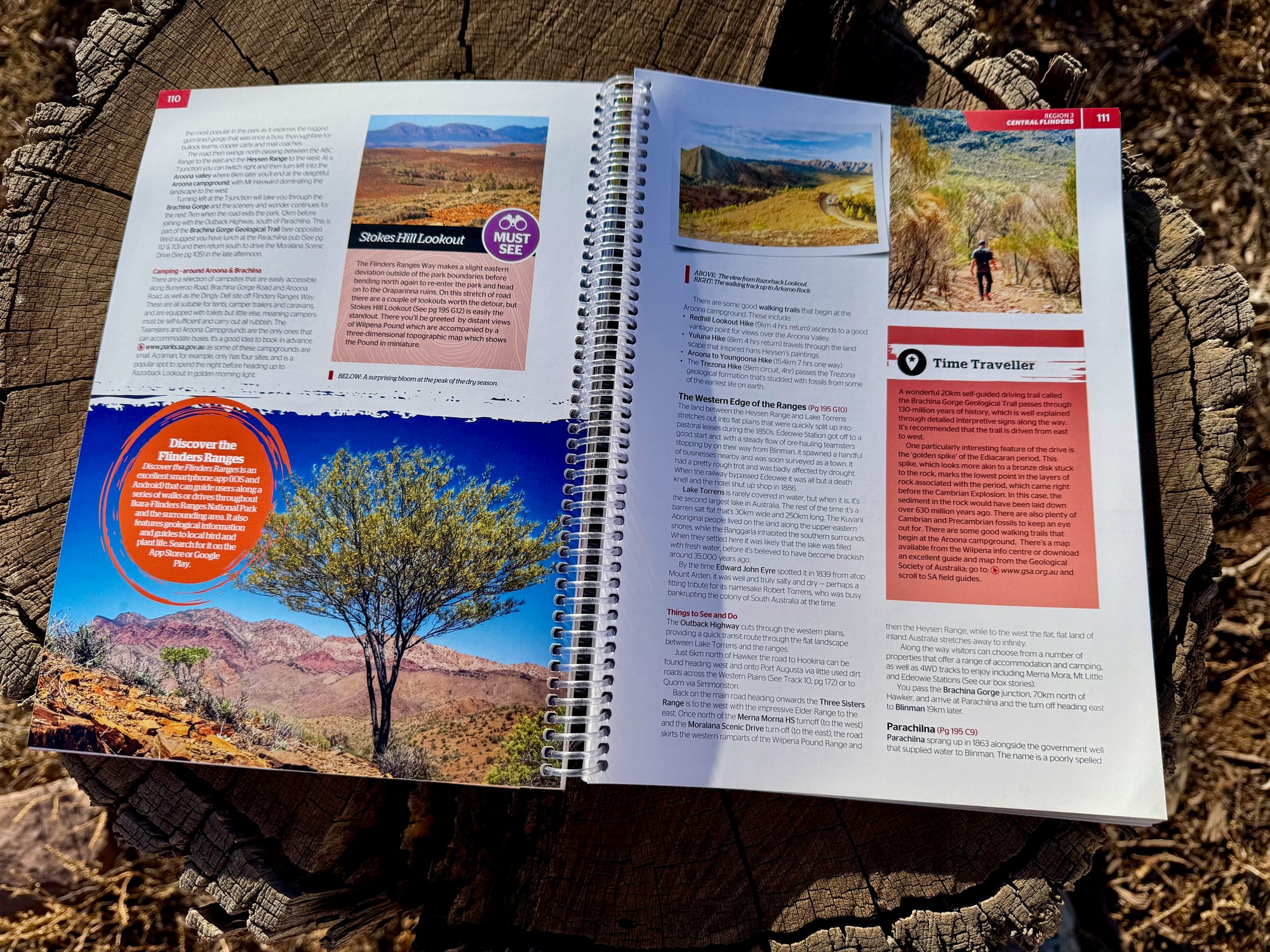
Around the tracks is the planning information: towns, the national parks, and the station properties that are open to the public for camping, accommodation, walking, cycling and four-wheel driving. There are sections on the best campsites, on walking and cycling trails, and on when to go and how to prepare.
It’s also a good read at camp. There’s a lot on the history and culture of the ranges, “Must see” boxes pick out the highlights, and the photos make it easy to choose where to go next.
A backup, not a replacement
For us this book is a handy backup. Day to day we navigate with Google Maps, downloaded before the trip so it works offline without reception. The Hema comes out for two things: planning, because it shows the whole region and what’s worth seeing, and as the fallback if a phone dies, overheats on the dash or loses its downloaded maps.
That’s a sensible way to use it. An app is quicker for turn-by-turn driving. A paper atlas doesn’t need charging and can’t crash, and the guide pages tell you things a navigation app doesn’t, like where to camp and which tracks are worth the drive.
Size, binding and using it in the carSize, binding & car use
The book measures 228 × 298 mm and weighs 0.99 kg. It’s not something for a daypack, but it fits in a door pocket or behind a seat.
The spiral binding is the practical bit. The book opens flat and stays open on a bonnet, a camp table or your lap, and you can fold it back on itself to show a single page. The pages are paper, so it needs keeping dry and out of the dust.
It’s a first edition. Maps and tracks change slowly, but details like opening times, fees and which stations take visitors can date, so check anything important before you rely on it.
Conclusion: Hema Flinders Ranges Atlas & GuideConclusion
The Hema Flinders Ranges Atlas & Guide puts the maps and the planning for the whole region in one spiral-bound book: a 20-page atlas at 1:400,000, 13 4WD tracks with inset maps, and guide pages on campsites, walks, towns and station stays. It’s big and weighs 0.99 kg, the atlas scale isn’t for bushwalking, and as a first edition some details will date. I paid $50 for it. We use it as a handy backup to offline Google Maps, and around Wilpena Pound it gave us Track 5 through the national park. For a trip to the Flinders, it’s a good book to have in the car.
A 208-page, spiral-bound atlas and guidebook for the whole Flinders Ranges: a 1:400,000 atlas, 13 4WD tracks with inset maps, campsites, walks and station stays.
A4 size and 0.99 kg.
- 4WD tourers
- Caravanners
- Hikers
Yes, as a backup and a planning book. $50 buys the maps and the information for the whole region, and it works where your phone doesn’t. If you only want a map to navigate by, Hema’s fold-out Flinders Ranges map is cheaper.