Hema is the map name most Australian 4WDers know, and the range is big: road atlases in four sizes, regional Atlas & Guides, fold-out maps and more. This page sorts out which is which, starting with the ones we carry and have reviewed.
We navigate with Google Maps, downloaded before a trip so it works without reception, and keep Hema books in the car as a handy backup and for planning. They came with us on a big trip in December 2025, from Sydney to the Flinders Ranges, on to the Grampians and Melbourne, and home through the High Country.
The Hema maps we carry
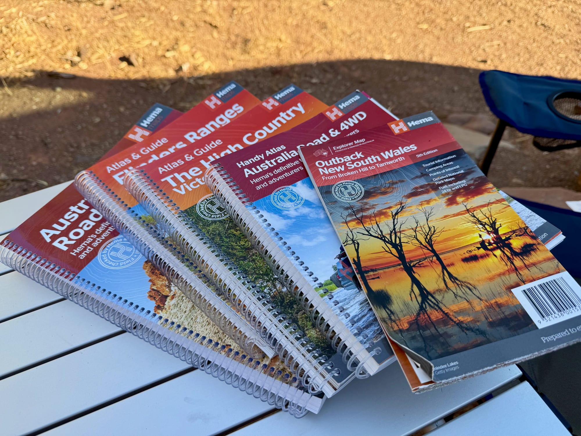
There are five in our car, and they’re the ones in the photo at the top: two Atlas & Guides, two Australia road atlases and one fold-out map.
We’ve reviewed the two Atlas & Guides so far.
Flinders Ranges Atlas & Guide
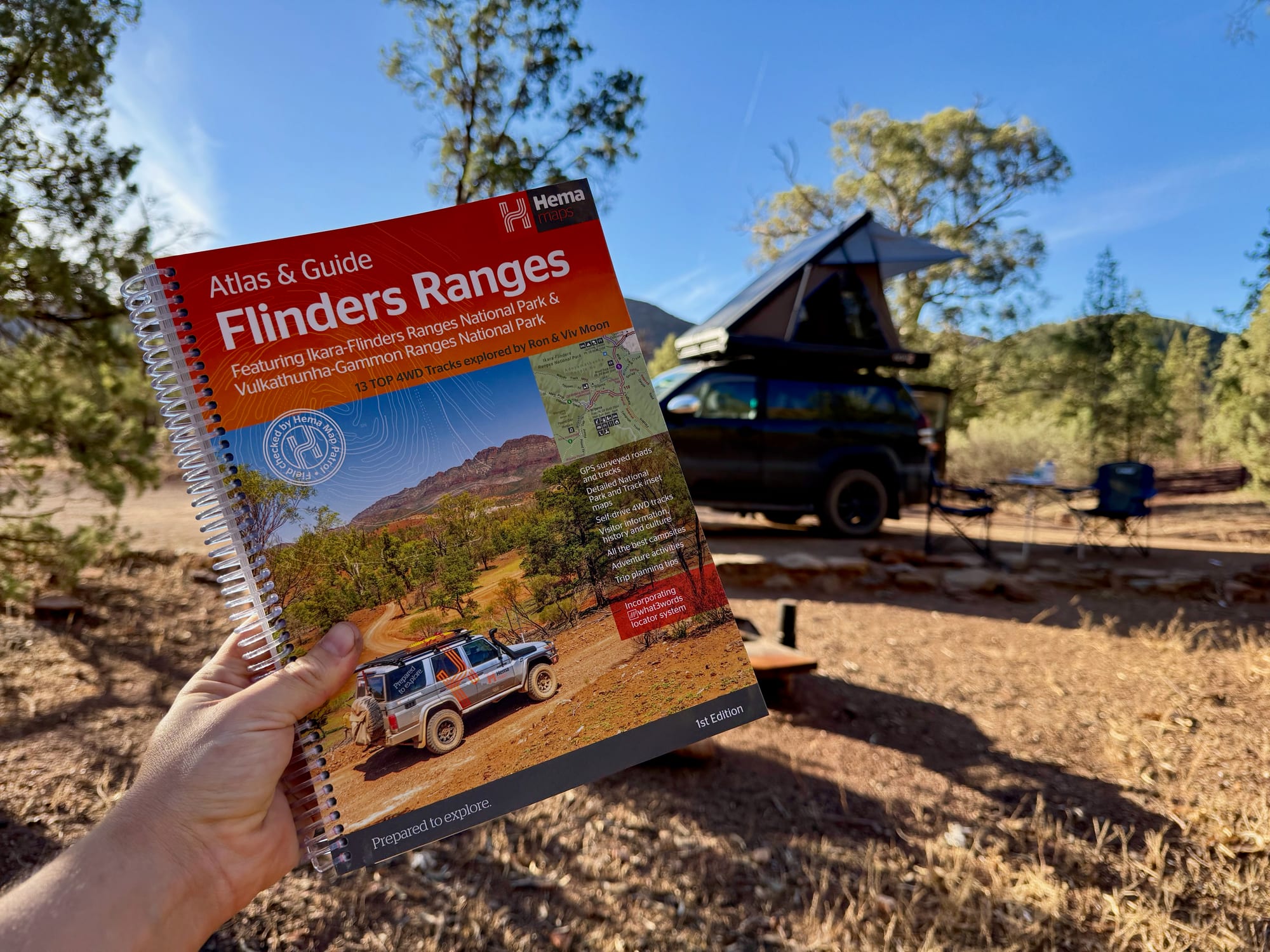
A 208-page book for the whole Flinders, with a 20-page atlas at 1:400,000 and 13 4WD tracks with their own maps. We used it around Wilpena Pound and drove its Track 5 through Ikara-Flinders Ranges National Park. Read the full Hema Flinders Ranges Atlas & Guide review.
The Victorian High Country Atlas & Guide
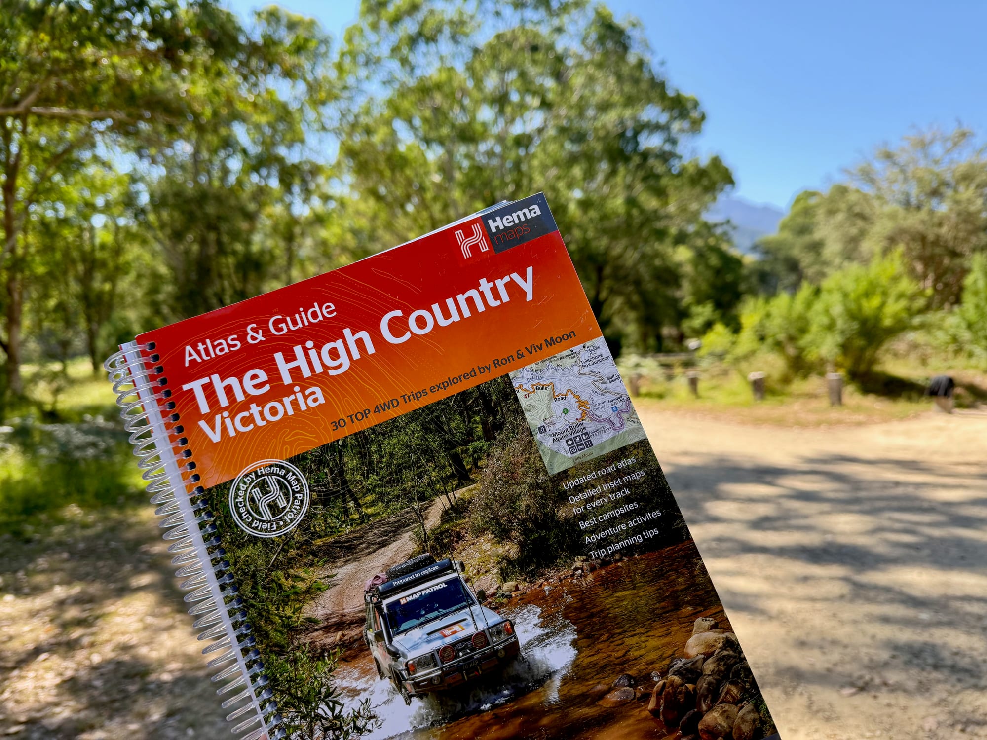
The 3rd edition has 40 atlas pages at a large 1:150,000 scale and the Top 30 4WD trips by Ron and Viv Moon, each with a grading and distances. We had it with us coming home through the High Country. Read the full Hema High Country Victoria Atlas & Guide review.
All the Hema Atlas & GuidesAll the Hema Atlas & Guides
An Atlas & Guide covers one region: an atlas at the front and a guidebook behind it, with 4WD tracks, campsites and things to see. These are the regions Hema had in the range when we looked.
- Flinders Ranges: our review
- The Victorian High Country: our review
- Cape York: Cape York Atlas & Guide
- The Kimberley: Kimberley Atlas & Guide
- Top End and Gulf: Top End and Gulf Atlas & Guide
- Tasmania: Tasmania Atlas & Guide
- K’gari (Fraser Island): K’gari (Fraser Island) Atlas & Guide
- The desert tracks: Great Desert Tracks Atlas & Guide
We’ve only used the first two, so for the others we can tell you they exist, not how good they are. You can see the whole range on Hema’s Atlas & Guides page.
Australia road and 4WD atlasesRoad and 4WD atlases
For driving between regions you want one atlas of the whole country. Hema makes its Australia Road & 4WD atlas in four sizes, and the choice is mostly about how big you want the pages and where the book will live in the car.
- Handy, 185 × 248 mm: Australia Road & 4WD Handy Atlas, the smallest, for the glovebox or a door pocket.
- Touring, 215 × 297 mm: Australia Road & 4WD Touring Atlas, about A4.
- Spiral bound, 252 × 345 mm: Australia Road & 4WD Atlas, which lies flat when open.
- Easy Read, 292 × 397 mm: Australia Road & 4WD Easy Read Atlas, the biggest pages.
There’s also a state atlas for the west, the Western Australia Road & 4WD Track Atlas.
Which Hema map do you need?
- One region, in depth: an Atlas & Guide. It has the larger-scale maps and the 4WD tracks, campsites and planning information for that area.
- A long trip across several states: an Australia road atlas for the driving, plus an Atlas & Guide for the region where you’ll spend the most time. That’s how we pack.
- Just a map to navigate by: a fold-out map of the area is cheaper and lighter than a book. Hema lists them all on its maps page.
- A backup to an app: any of them. The point is to have something in the car that works with no signal and no battery.
Paper maps or an app?
Both. An app is quicker for turn-by-turn driving, and Google Maps works without reception if you download the area first. A paper atlas shows the whole region at once, tells you things a navigation app doesn’t, like where to camp and which tracks are worth the drive, and still works when a phone doesn’t.