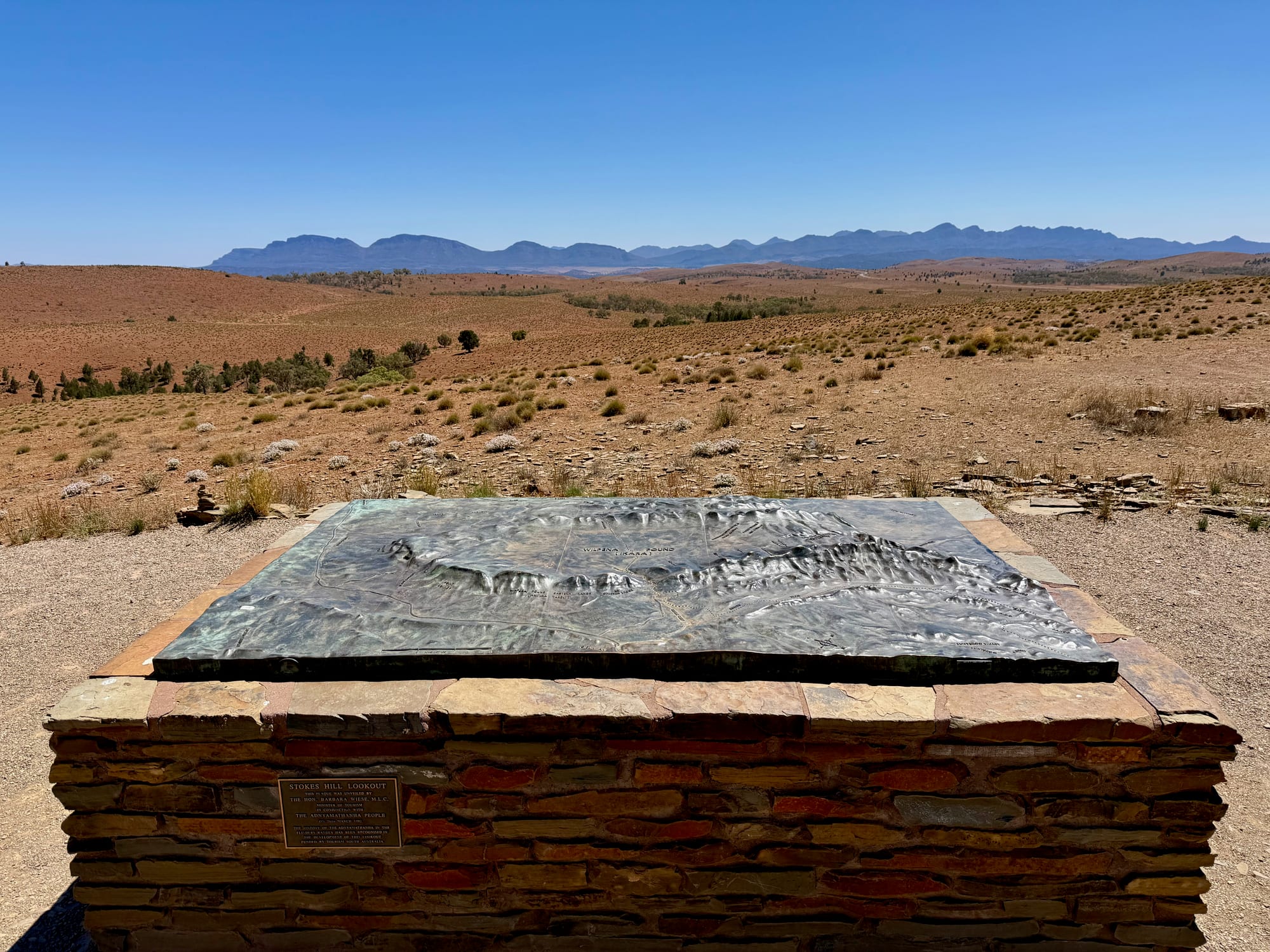
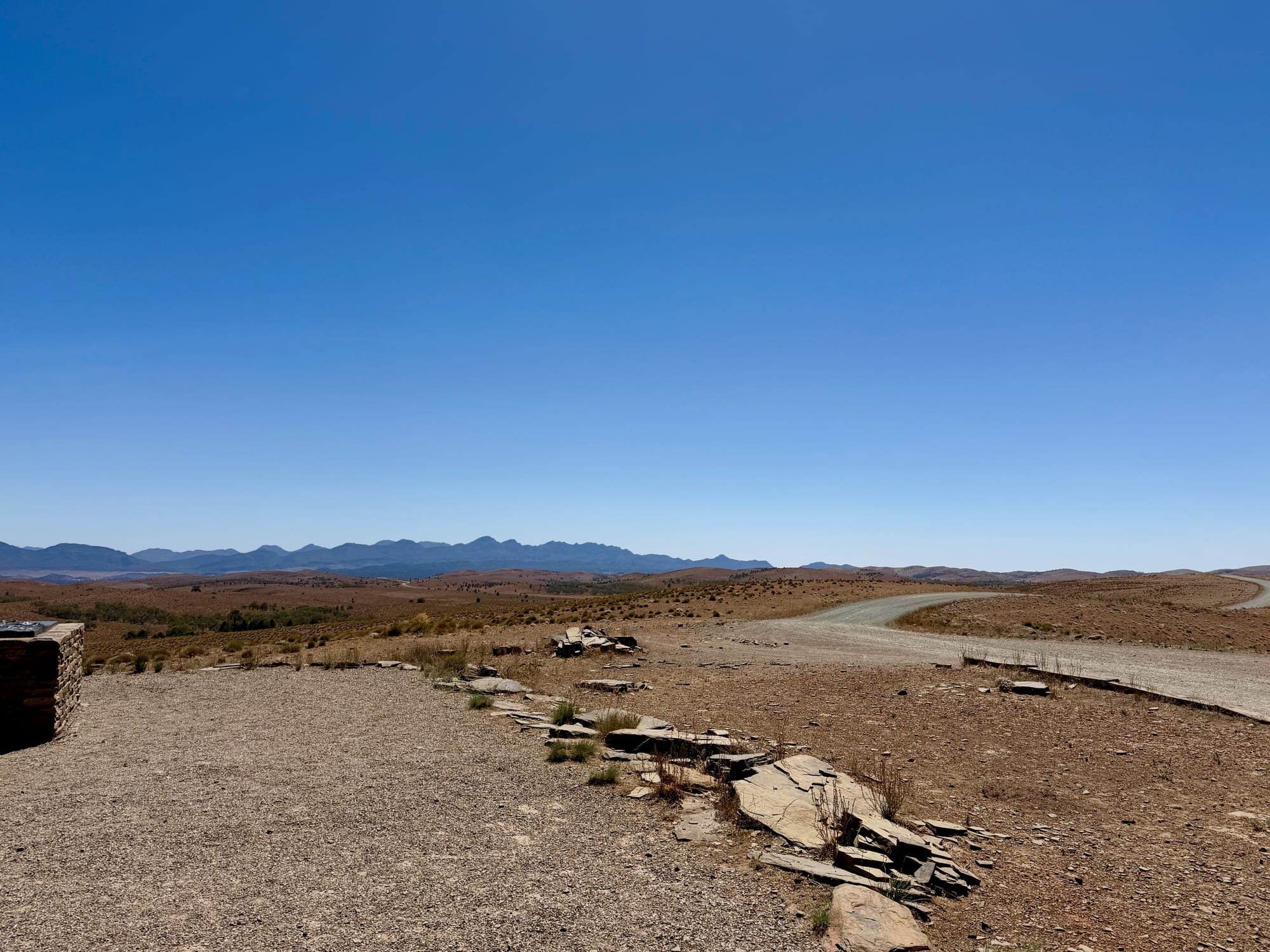
Stokes Hill Lookout was the second stop on our first day in the Flinders Ranges, on the way back towards Wilpena Pound from Hucks Lookout. It’s a bigger lookout than Hucks, with a paved viewing area, a bronze relief map of the ranges and a view that goes all the way round.
What we like
- 360° views over the ranges
- Bronze map names what you see
- Boards on Adnyamathanha country
- Free and close to Wilpena
- Great at sunrise and sunset
What we don’t
- No shade or toilets
- Rough gravel track; no towing
About Stokes Hill LookoutAbout
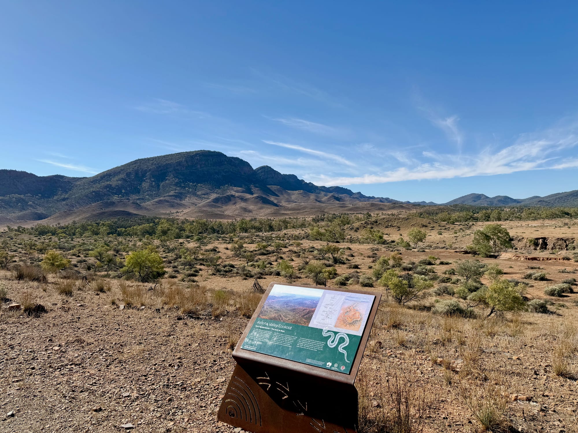
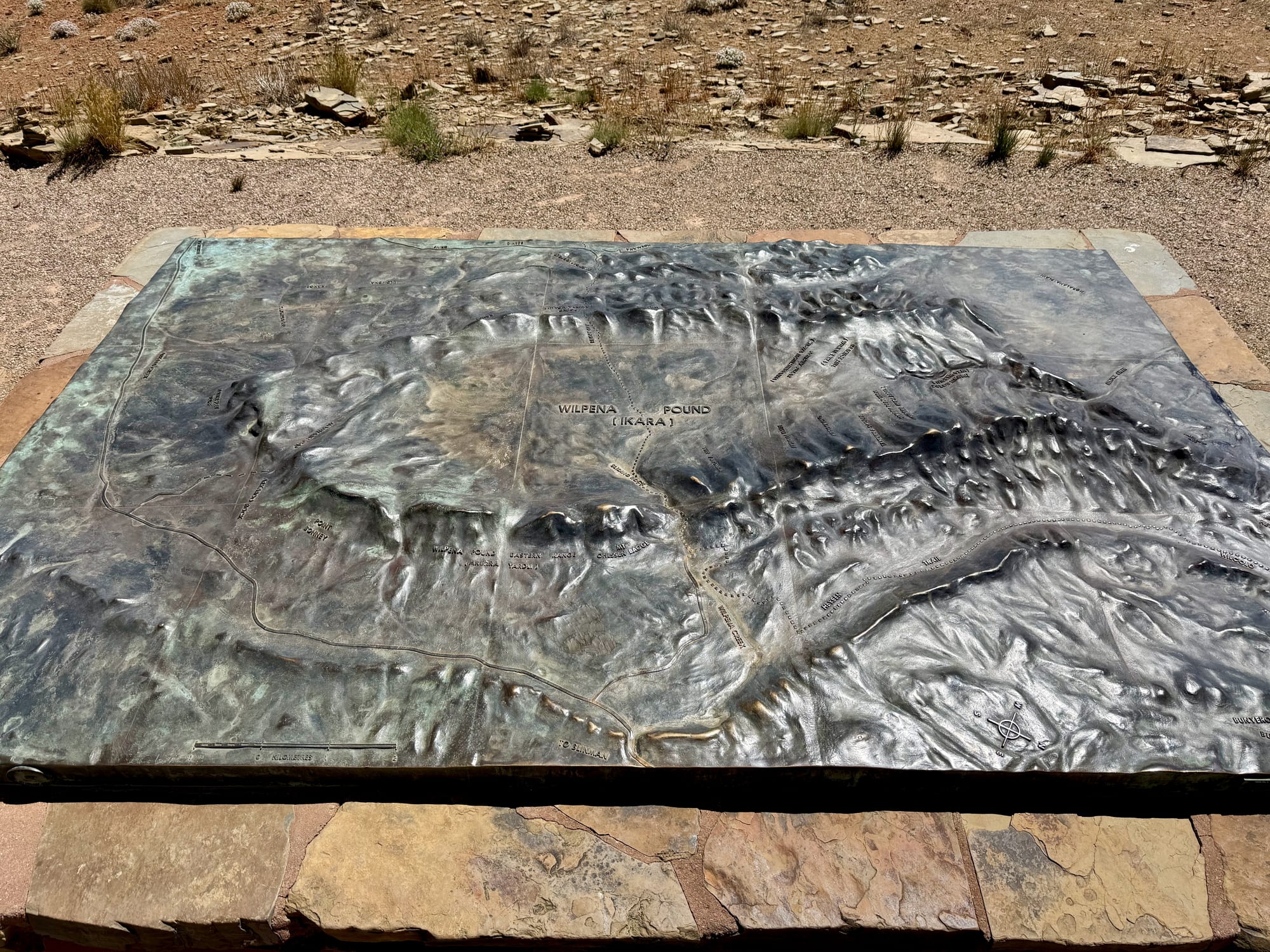
Stokes Hill is a bare hill on Willow Springs station, about 15 km north of the Wilpena Pound turn-off on the Flinders Ranges Way. The lookout on top was developed with the Adnyamathanha people and funded by Tourism SA, and a plaque records its opening in 1992. The centrepiece is a bronze relief map of the ranges on a stone plinth, so you can match the ridges in front of you to their names. Orange information boards cover the country and its people, and there are benches to sit on.
Quick facts
- AddressStokes Hill Lookout, Stokes Hill Lookout Road, Willow Springs, SA, AustraliaSee on the trip map →
- Phone receptionPatchy
- FacilitiesParkingLookoutsViewing PlatformInterpretive SignsBenchesNo ToiletsNo Drinking WaterNo ShadeNo Camping
- Good to know15 km north of WilpenaGravel track up, no towingBest at sunrise or sunset
- FeesFree
- 8.5/10Overall rated
Getting There
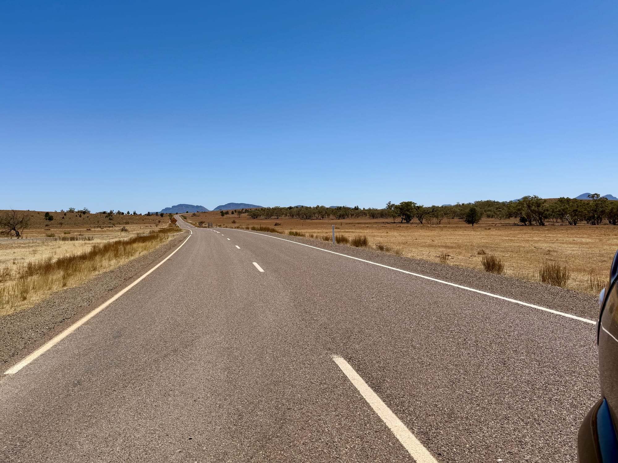
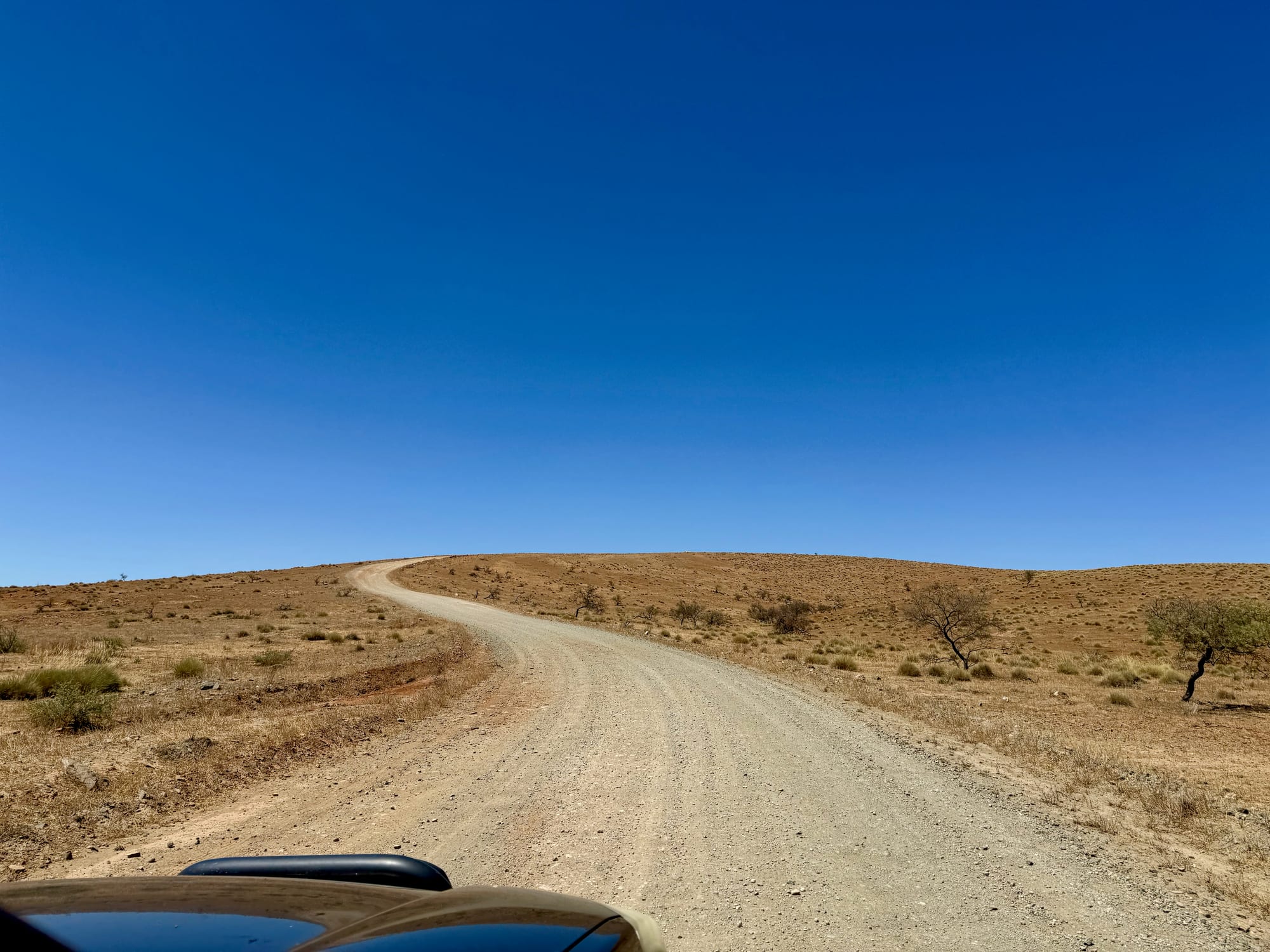
From Wilpena Pound, drive north on the sealed Flinders Ranges Way for about 15 km and turn onto Stokes Hill Lookout Road. From there a gravel track winds up the hill, rough and stony in places, with a loose edge, so take it slowly. It’s fine for a 2WD in dry weather, but towing up isn’t advised. There’s a telecom tower and a car park on top.
A View All the Way RoundThe view
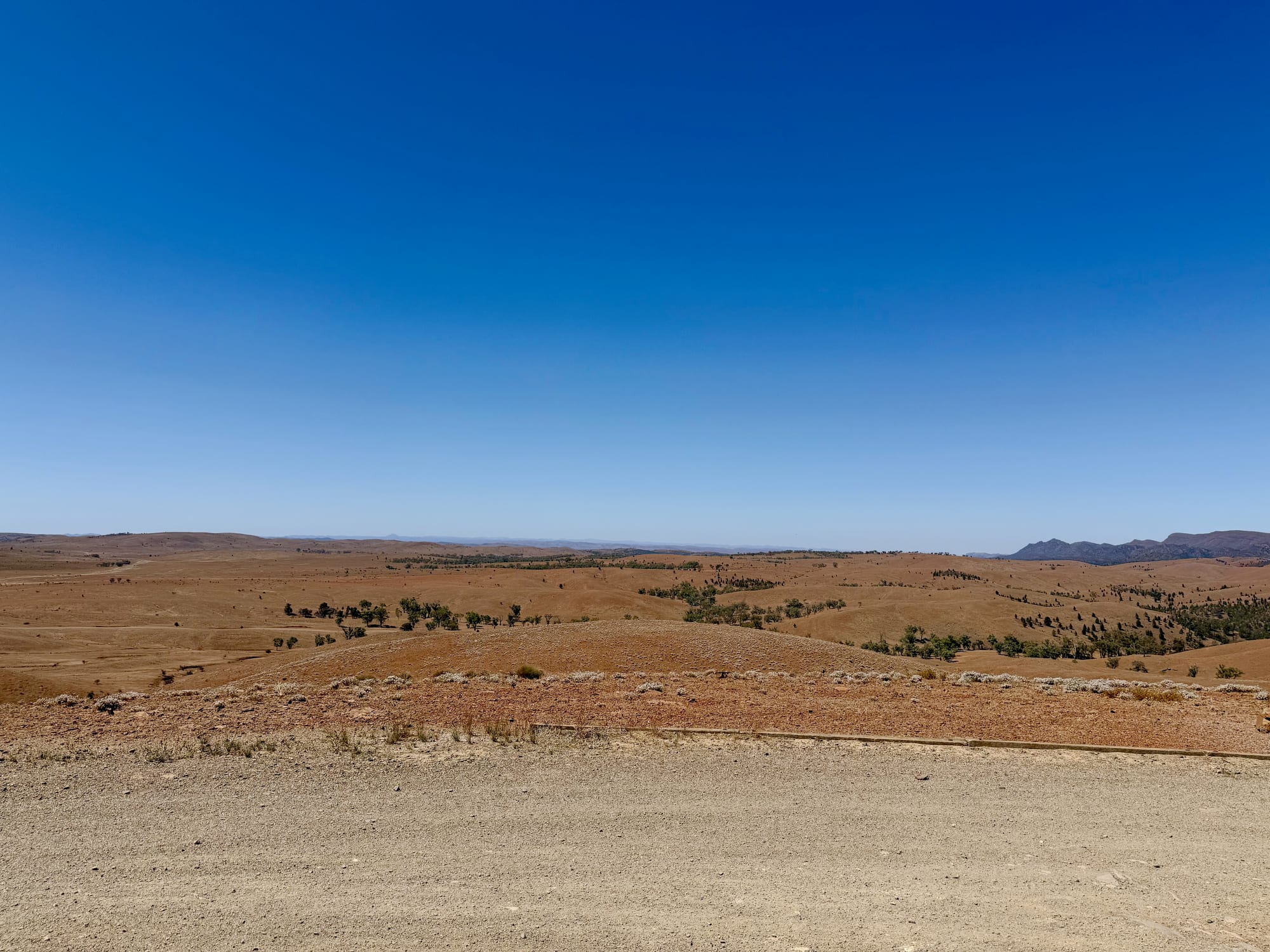
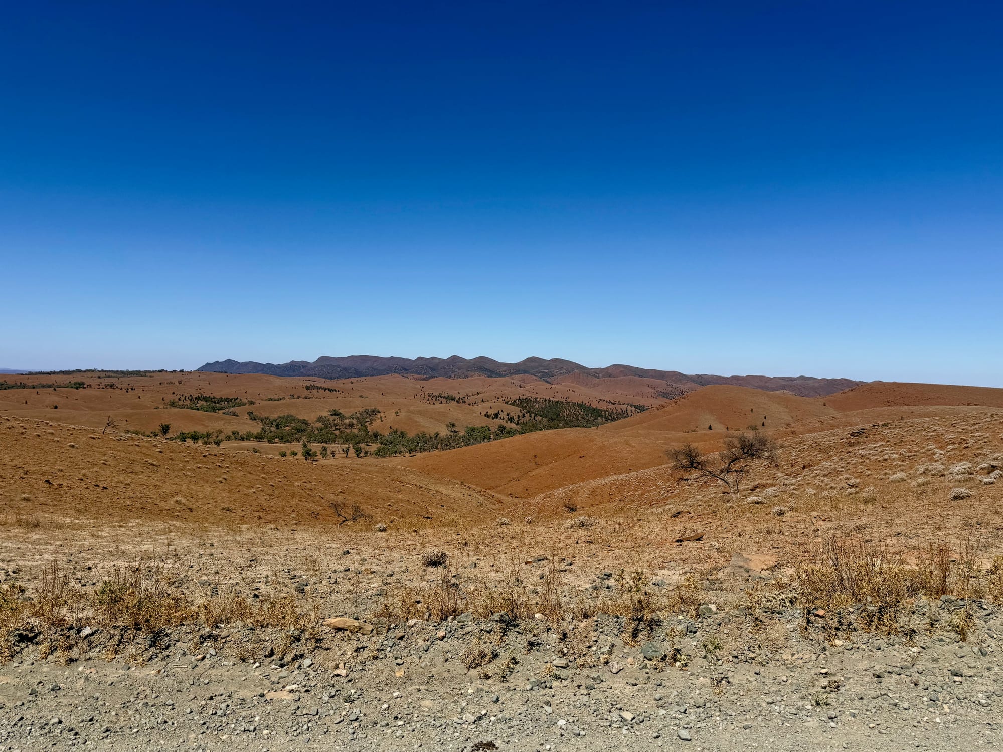
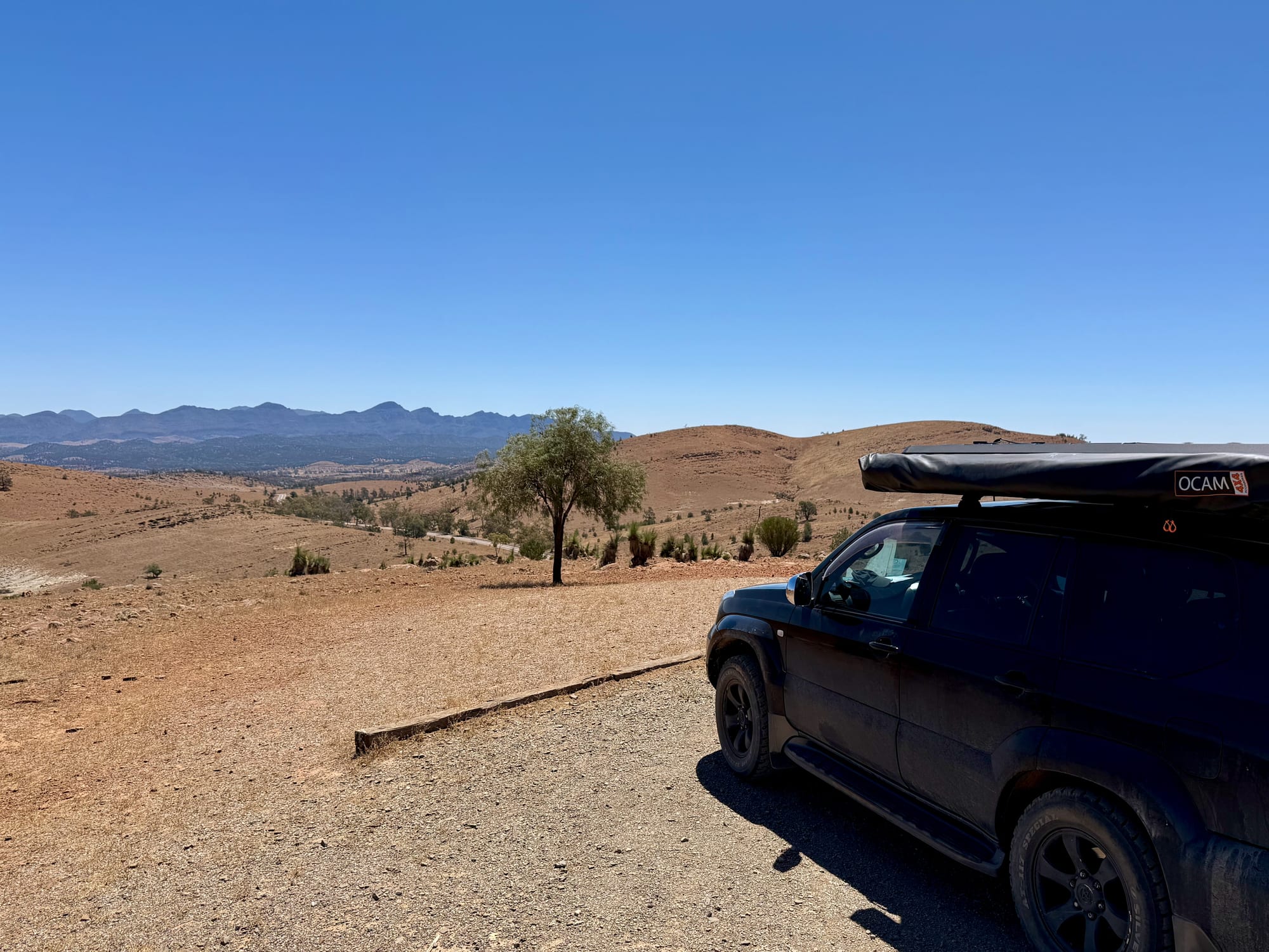
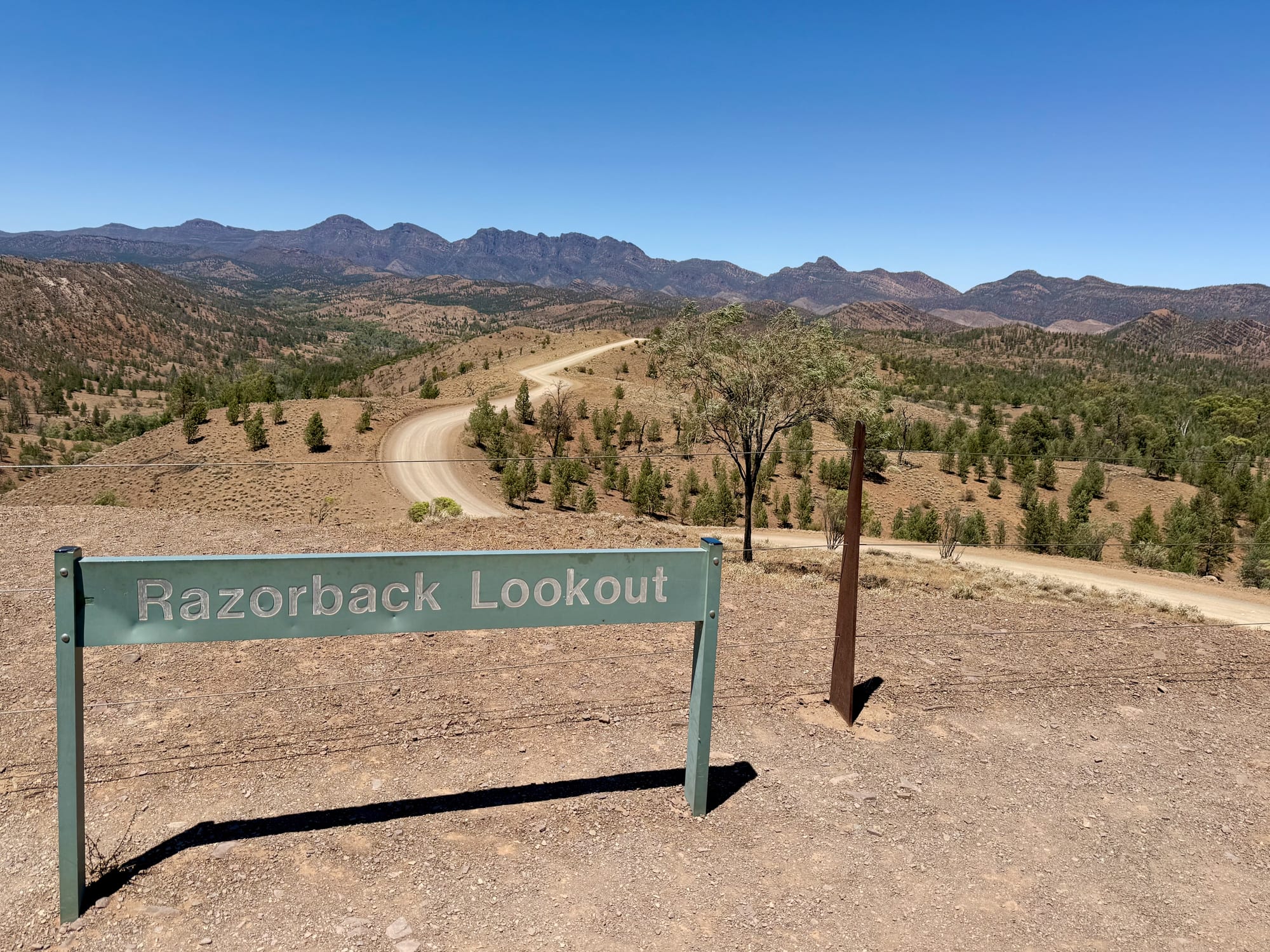
From the paved lookout the view goes all the way round. To the south the outer walls of Wilpena Pound rise over the plain, to the north and west the ranges are stacked in blue ridges, and in between it’s red hills, dry creek lines and scattered trees as far as you can see. With the relief map you can put names to the ridges. We came in the middle of a hot day and had the place to ourselves, but sunrise and sunset would be the time for the colours on the ranges.
There’s no shade on top and the hot wind comes straight across, so bring water and a hat, and don’t plan to sit for long in summer.
The Story on the BoardsThe boards
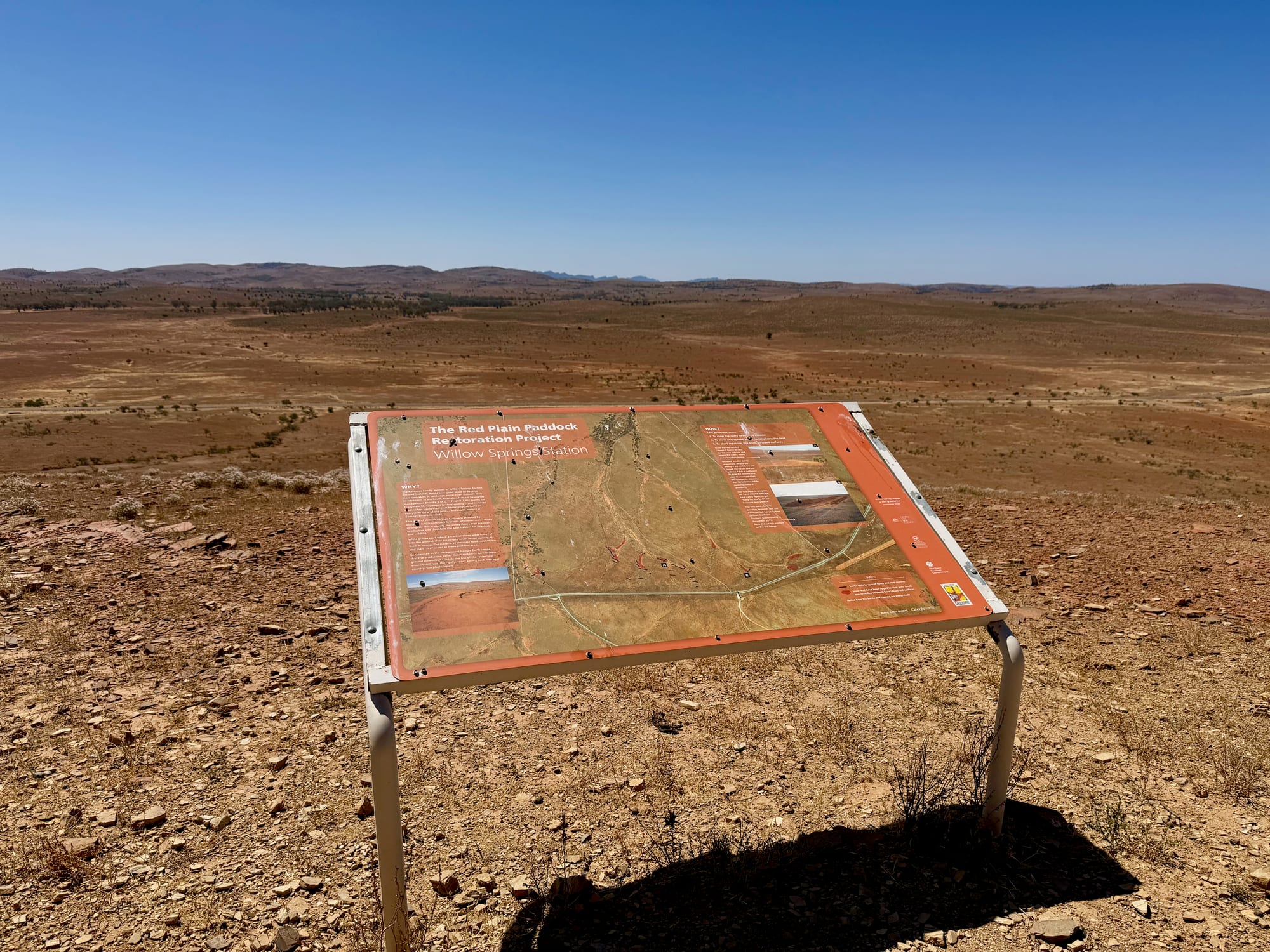
The orange information boards explain the country you’re looking at, and the plaque on the stone wall records that the lookout was developed in recognition of the history of the Adnyamathanha people in the Flinders Ranges. It’s worth reading before you head into the park, where the Adnyamathanha names, Ikara for Wilpena Pound among them, are on the signs everywhere.
Things to Do NearbyThings to do
Hucks Lookout is further north on the same road, a smaller stop with signs on the geology. South of here is Wilpena Pound with its walks and the campground, and the Bunyeroo and Brachina gorge drive starts off this road as well. Our Flinders Ranges National Park guide has them all.
Summary
The best view stop close to Wilpena: free, 15 minutes up the road, with a 360-degree view and a bronze map that tells you what you’re looking at. Take the gravel track slowly, leave the van at camp and come early or late for the light.
The best view stop near Wilpena.
A gravel track climbs to a hilltop with 360-degree views over the red hills to the ranges and Wilpena Pound, and the bronze relief map on top shows you exactly what you’re looking at. Go early or late for the light, and bring water.
Anyone staying at Wilpena Pound who wants the best all-round view of the ranges, especially at sunrise or sunset.
Yes. It’s free, 15 minutes from Wilpena and the view goes all the way round. The relief map alone makes it worth the stop.
Recommended Gear for Stokes Hill Lookout
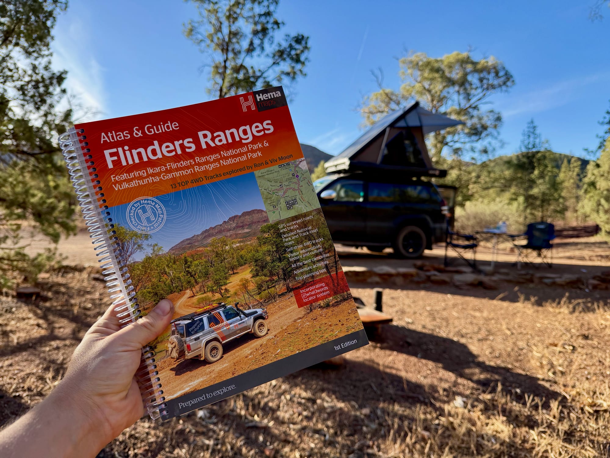
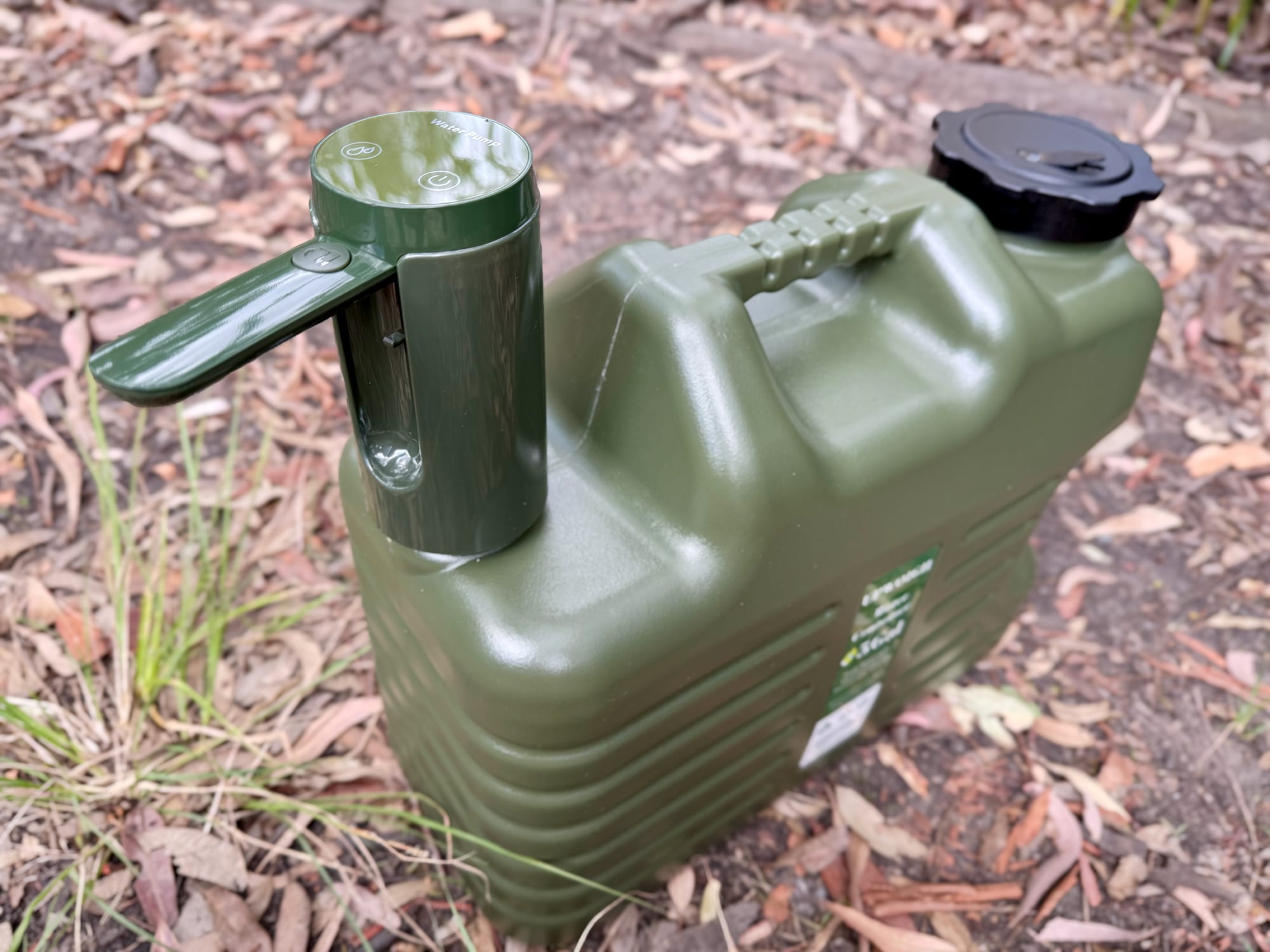
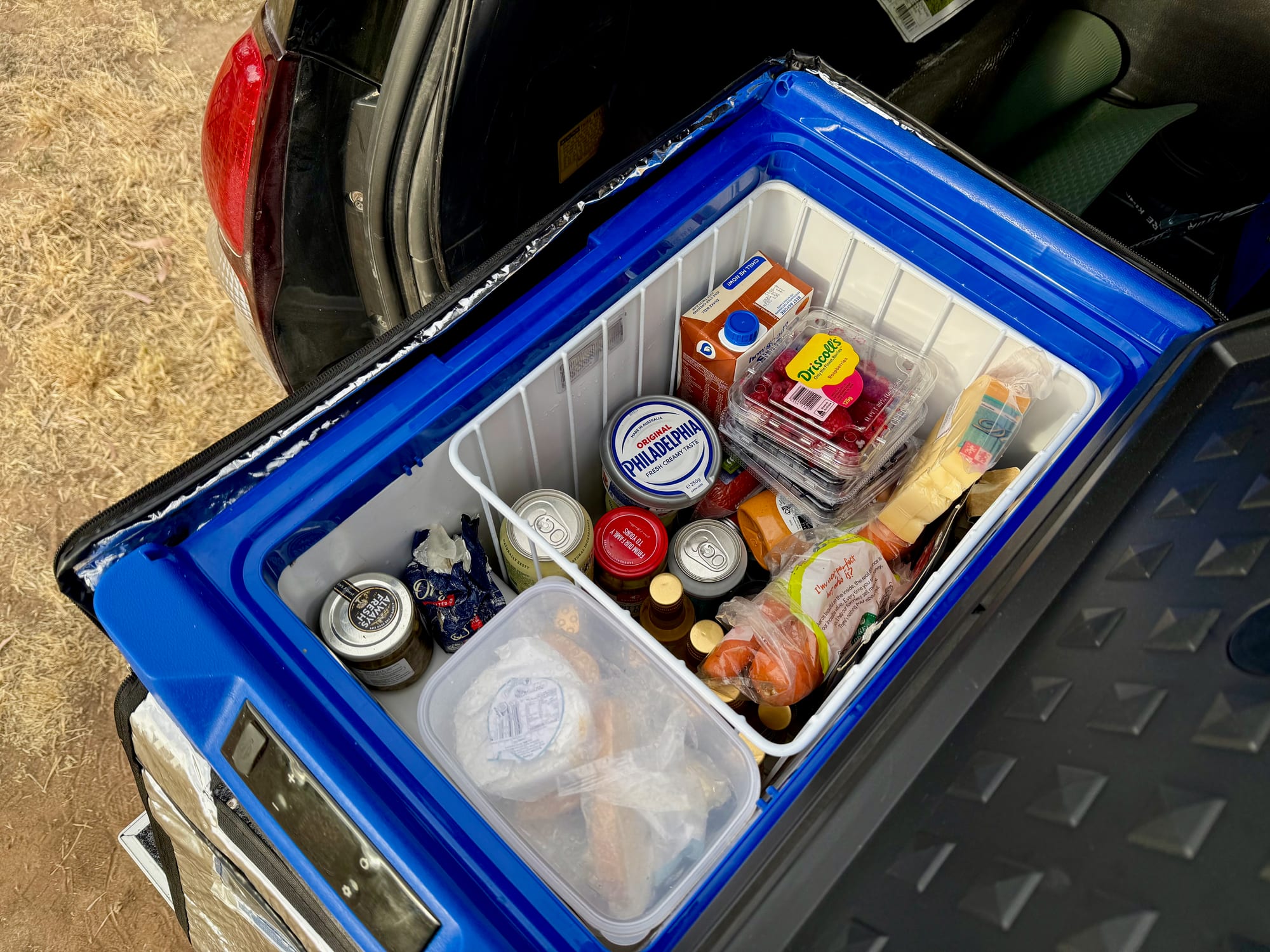
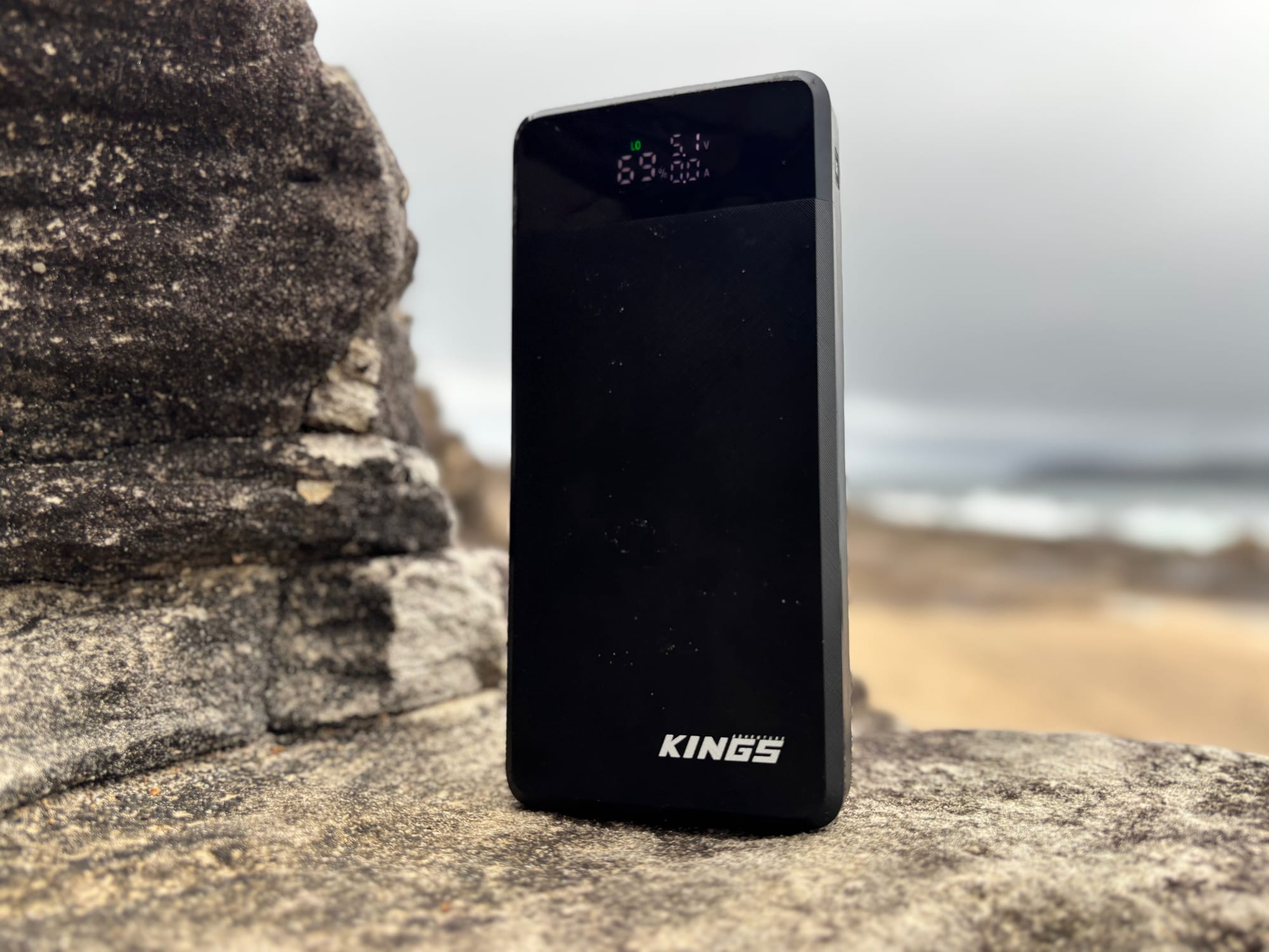
Match the ridges on the relief map to the Hema Flinders Ranges Atlas & Guide to plan the rest of your drive. There’s no water up top, so carry some in a water container, keep cold drinks in a camping fridge in the car, and a power bank keeps the phone charged for photos.