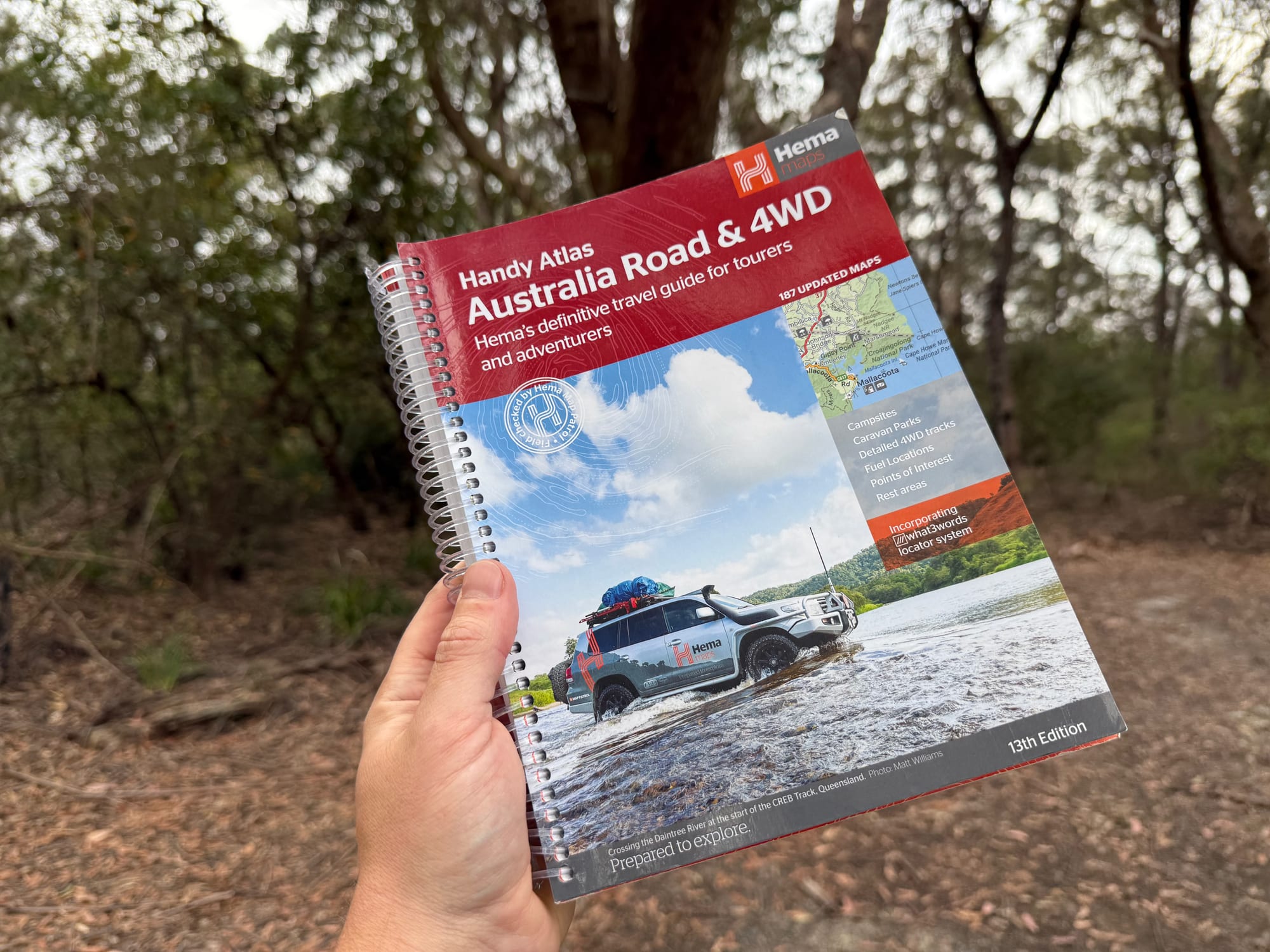
The Hema Australia Road & 4WD Handy Atlas is the whole country in a book small enough for the pocket on the back of a front seat. It’s the smallest of Hema’s four Australia Road & 4WD atlases, and it lives in our Prado as the backup to offline Google Maps on long trips. I paid $30 for it.
What’s in the box
The 13th edition: 224 spiral-bound pages, 185 × 248 mm, with 187 updated maps covering every state and territory. The maps mark 4WD tracks, campsites, caravan parks, rest areas, 24-hour fuel, national parks and points of interest, and there are more detailed maps of the big 4WD areas: Cape York, K’gari (Fraser Island), the Top End, the Kimberley, the Pilbara, Central Australia, the Victorian High Country and the Flinders Ranges. A distance grid, a national park guide, a list of accredited information centres and a full index are in there too.
What we like
- All of Australia in one book
- Handy size for the seat pocket
- Colour-coded state tabs
- Campsites, fuel and rest areas
- Spiral bound: lies flat
- No signal or battery needed
What we don’t
- Smaller pages than the big atlases
- No track notes like the guides
- Paper pages: keep it dry
Quick Specs
| Spec | Details |
|---|---|
| Brand | Hema Maps |
| Weight | 744 g |
| Size | 18.5 × 24.8 cm |
| Edition | 13th |
| Pages | 224 |
| Maps | 187 updated maps |
| Binding | Spiral |
Finding your way around
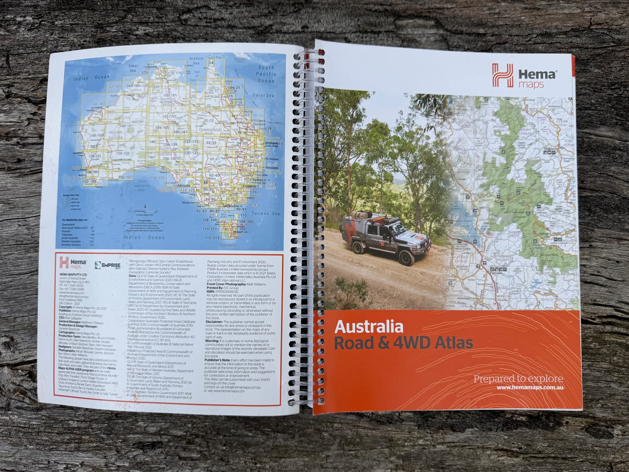
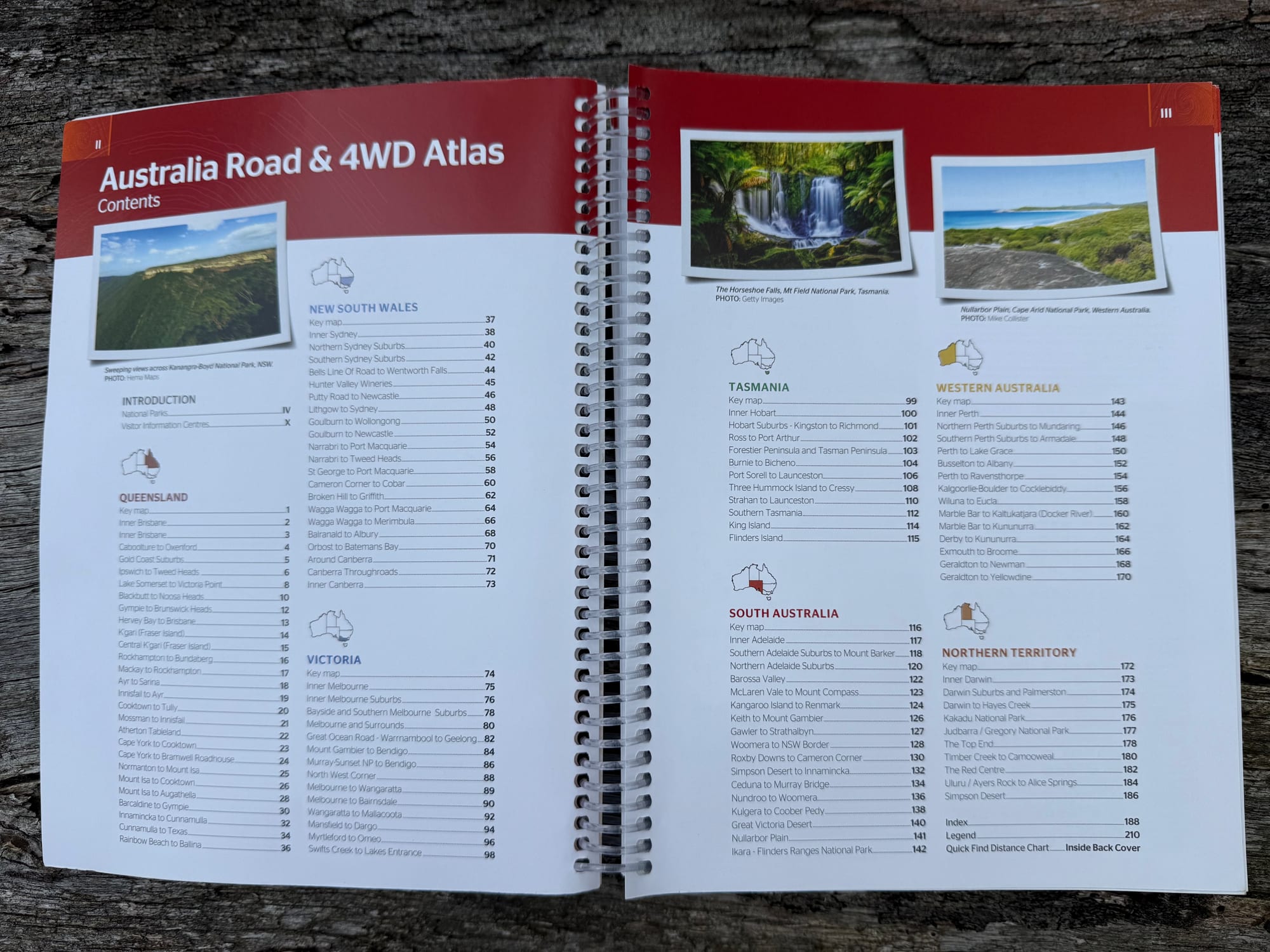
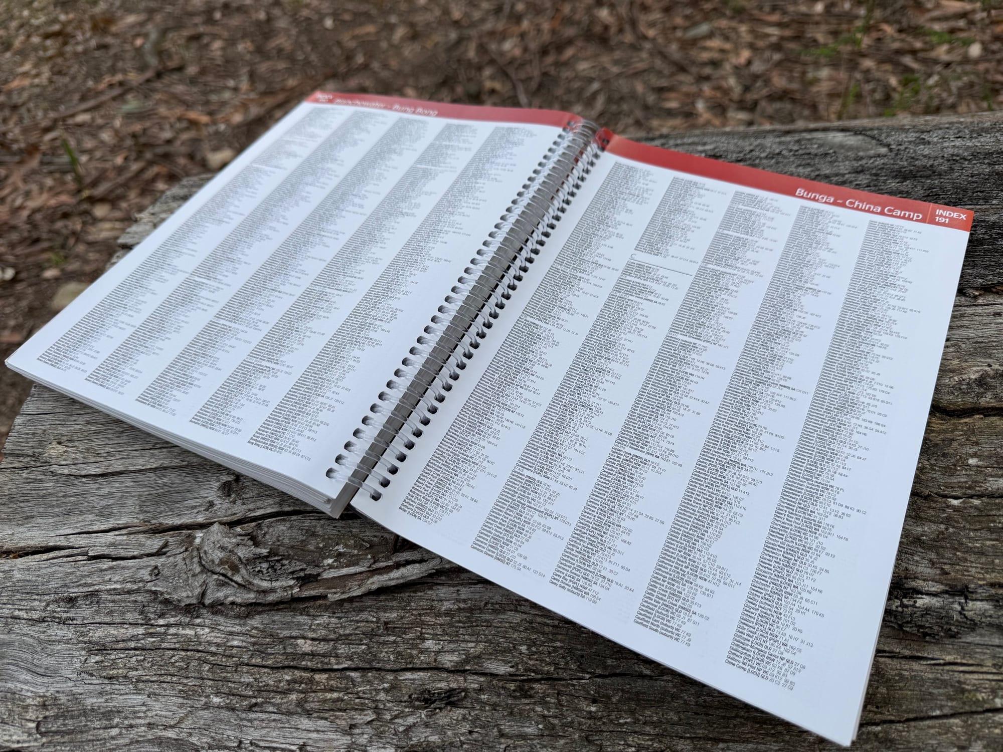
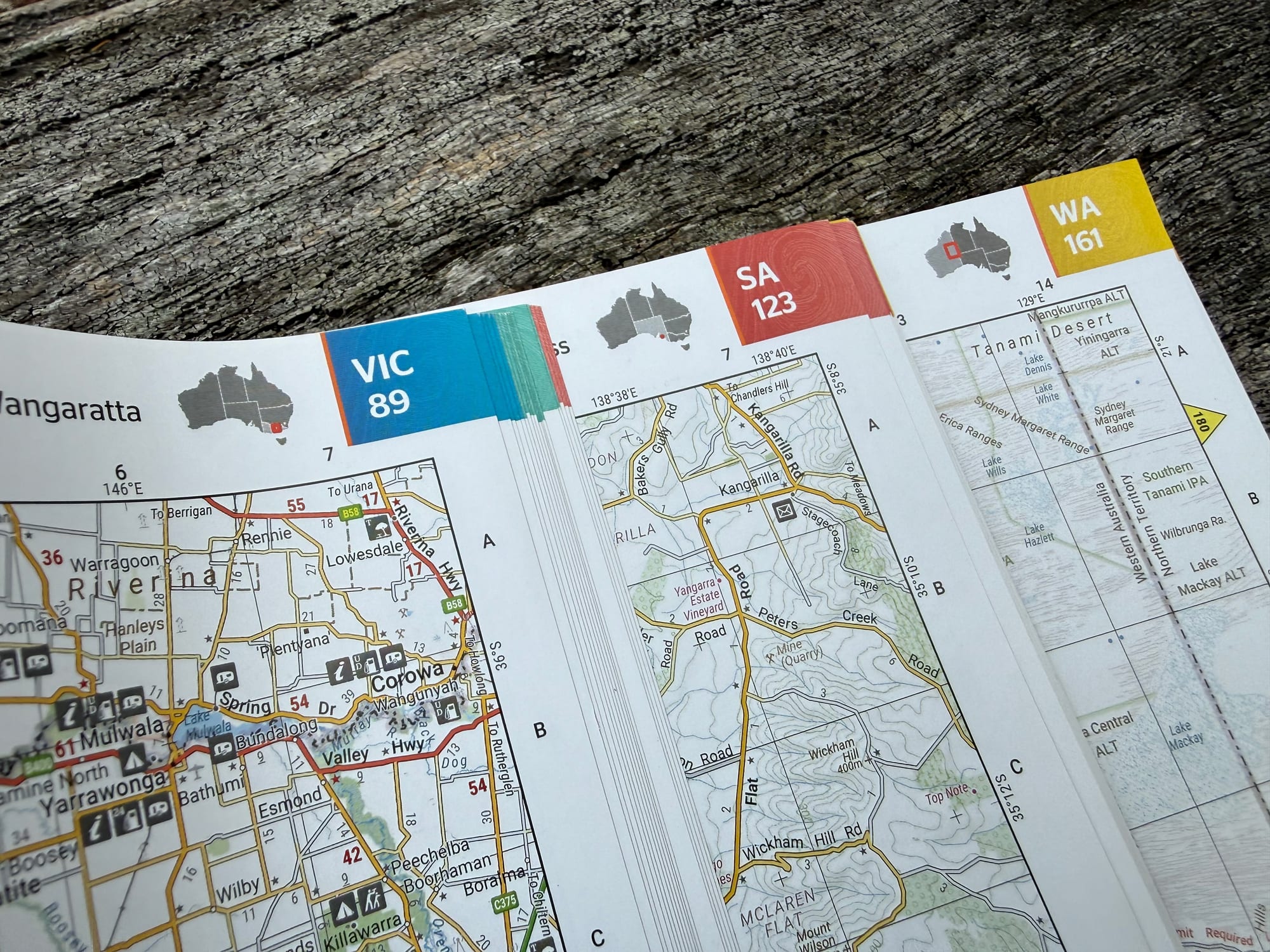
The atlas is easy to get around. Inside the front cover a key map of Australia shows which page covers which area, and the contents list the maps state by state. On the page edges, coloured tabs show the state and its first page (VIC 89, SA 123, WA 161), so you can flick to the right part of the country without the contents. At the back, a full index lists the towns and places.
The maps
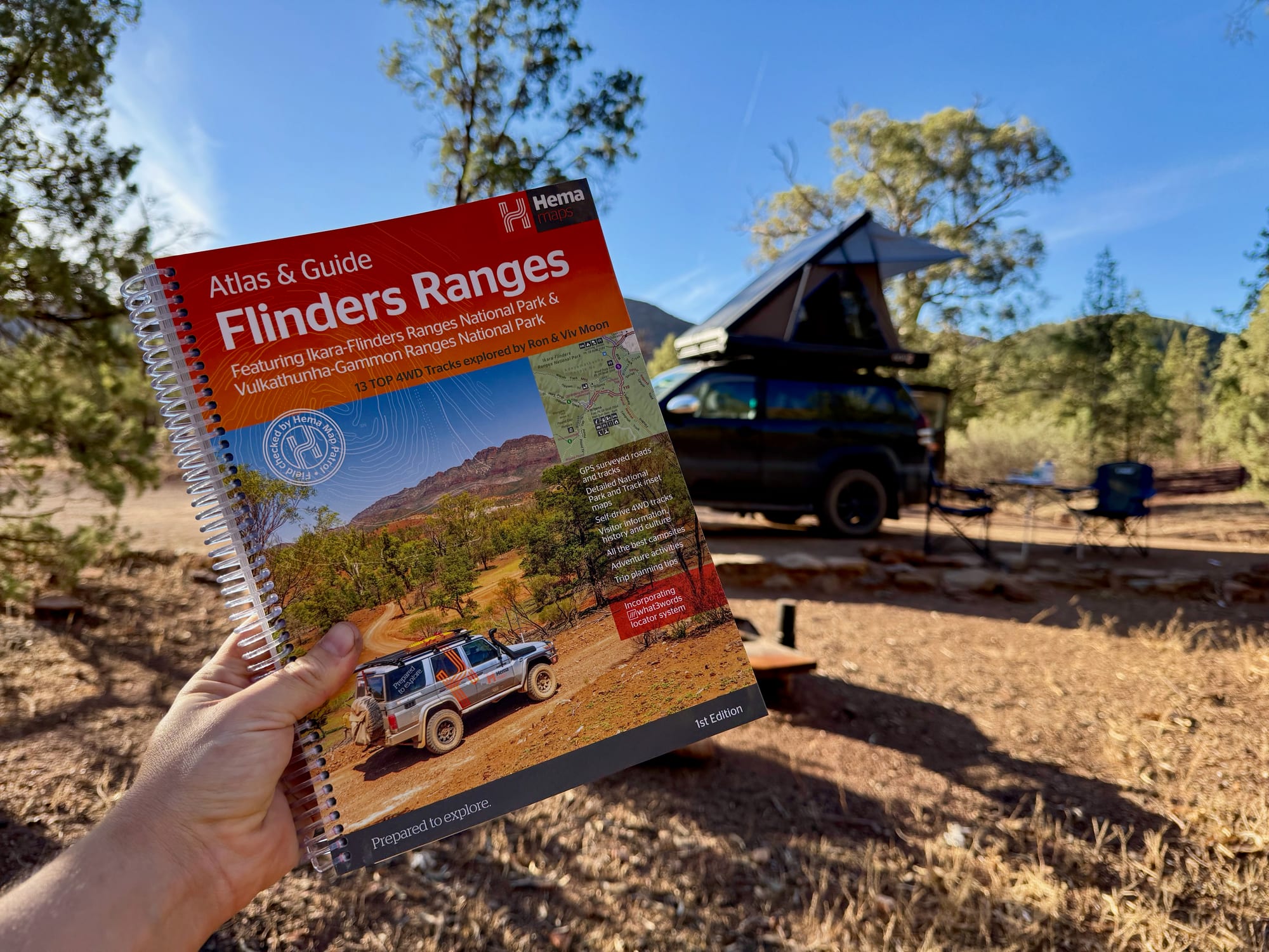
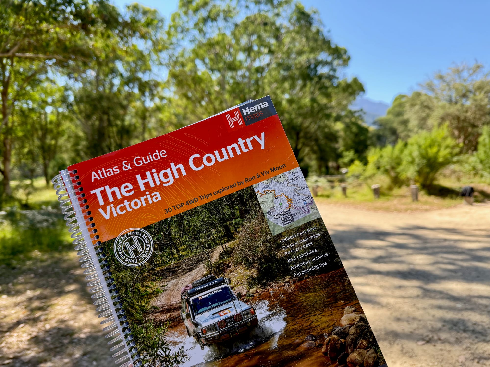
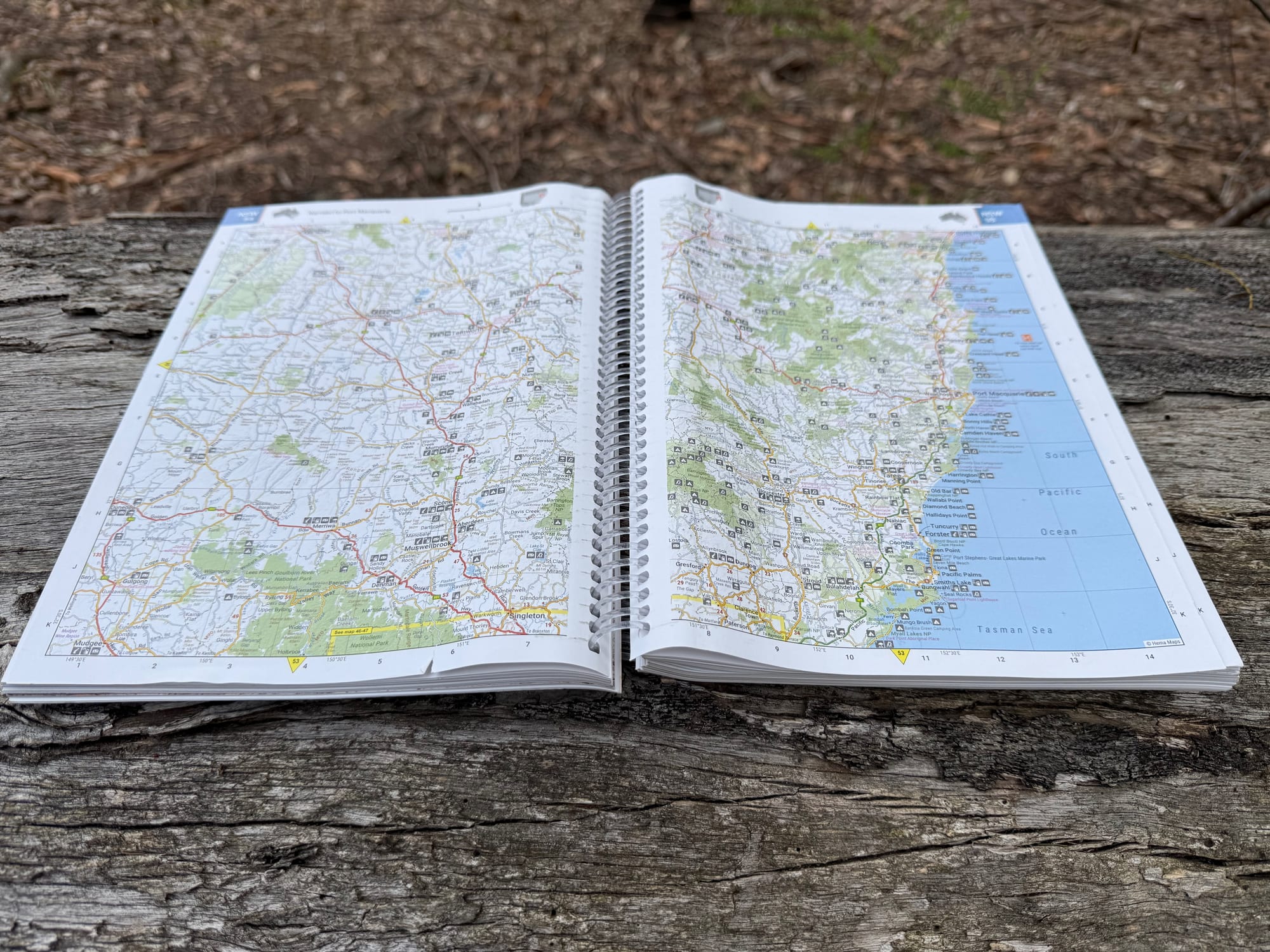
This edition has more mapping than earlier ones, in Hema’s newer map style that’s easy to read. The maps show the main roads and touring routes along with the things you look for on a road trip: campsites, caravan parks, rest areas, 24-hour fuel and national parks, with 4WD tracks marked. Being a handy-size atlas of the whole country, the scale is for planning and driving between regions, not for finding your way along a track; for that, Hema’s Atlas & Guides, like the Flinders Ranges and High Country Victoria, have larger-scale maps and track notes. The spiral binding lets it lie flat on your lap or the console.
Size and weight
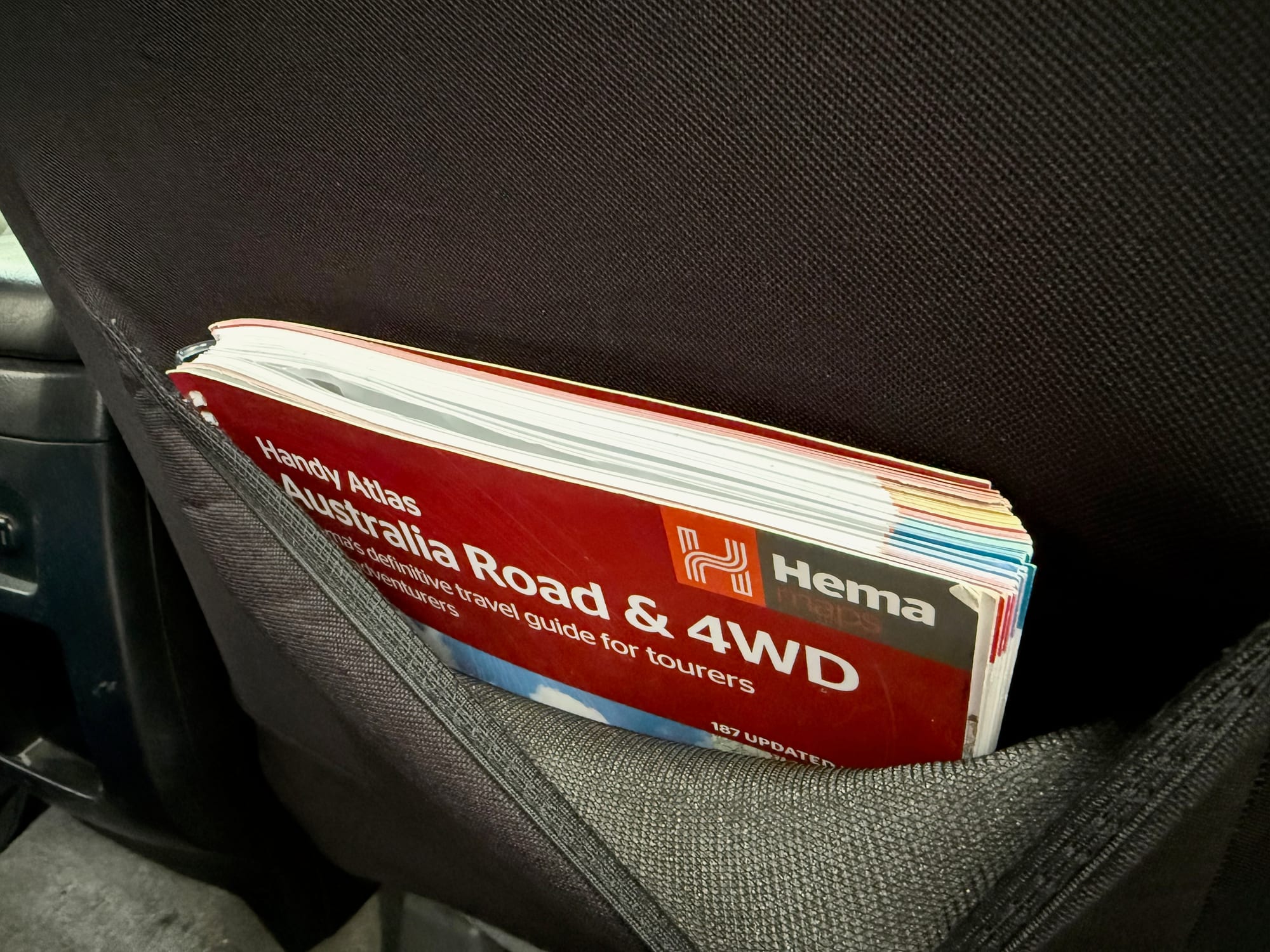
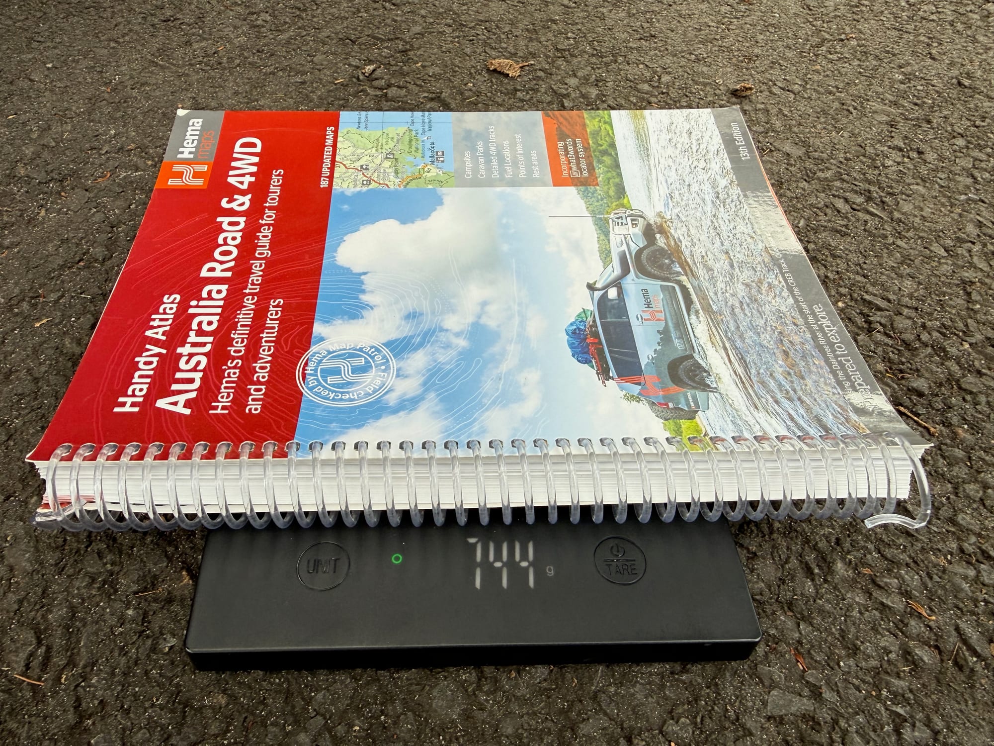
At 744 g on our scale and 185 × 248 mm, it’s the size of a thick magazine: small enough for the seat-back pocket or a door pocket, and light enough to leave in the car. The trade-off is page size: the same maps are printed smaller than in the bigger editions, so if you want larger print, look at the Touring or Easy Read atlas.
Handy, Touring, Spiral Bound or Easy Read?Which atlas size?
Hema makes the Australia Road & 4WD atlas in four sizes. All four have the same Hema mapping and 224 pages; what changes is the page size, so how big the maps and text are printed, and where the book fits in the car. The Handy is the one for a seat or door pocket; the Easy Read is the biggest, with the largest print. Our guide to Hema maps covers the rest of the range.
| This reviewHema Handy Atlas | BiggerHema Atlas (Spiral Bound) | BiggestHema Easy Read Atlas | BiggerHema Touring Atlas | |
|---|---|---|---|---|
| Size | 185 × 248 mm | 252 × 345 mm | 292 × 397 mm | 215 × 297 mm |
| Pages | 224 | 224 | 224 | 224 |
| Suits | Seat or door pocket | Lap or table | Easy reading | Most cabins |
| Price | $29.95 | $44.95 | $49.95 | $39.95 |
| Shop | Check price at Hema | Check price at Hema | Check price at Hema | Check price at Hema |
Conclusion: Hema Australia Road & 4WD Handy AtlasConclusion
The Hema Australia Road & 4WD Handy Atlas is all of Australia in a 744 g, spiral-bound book that lives in the seat-back pocket. It marks the 4WD tracks, campsites, rest areas and fuel you look for on a long trip, and the colour-coded state tabs and full index make it quick to find your way around. The pages are smaller than the bigger editions and there are no track notes, so pair it with an Atlas & Guide for the region you’re heading to. I paid $30, and as the backup to offline maps, it’s good value.
All of Australia in a 744 g, spiral-bound atlas that fits the seat pocket, with 4WD tracks, campsites, rest areas and fuel marked.
Smaller pages than the bigger editions and no track notes.
- 4WD tourers
- Travellers
- Caravanners
Yes. I paid $30 for an atlas of the whole country that lives in the seat-back pocket, as our backup to offline Google Maps.