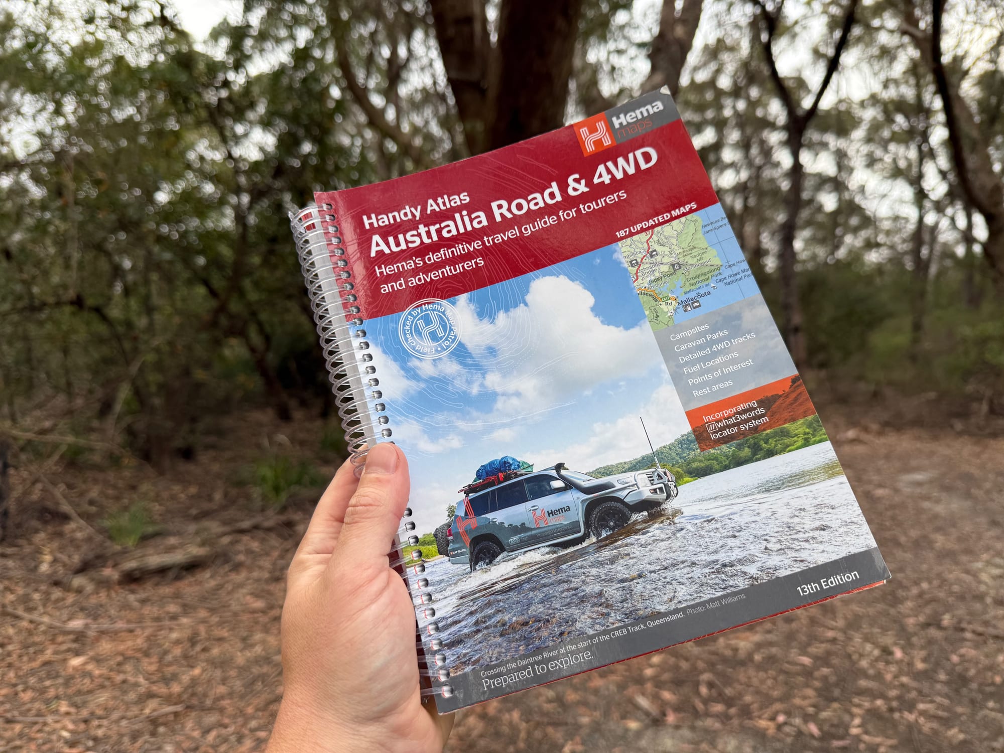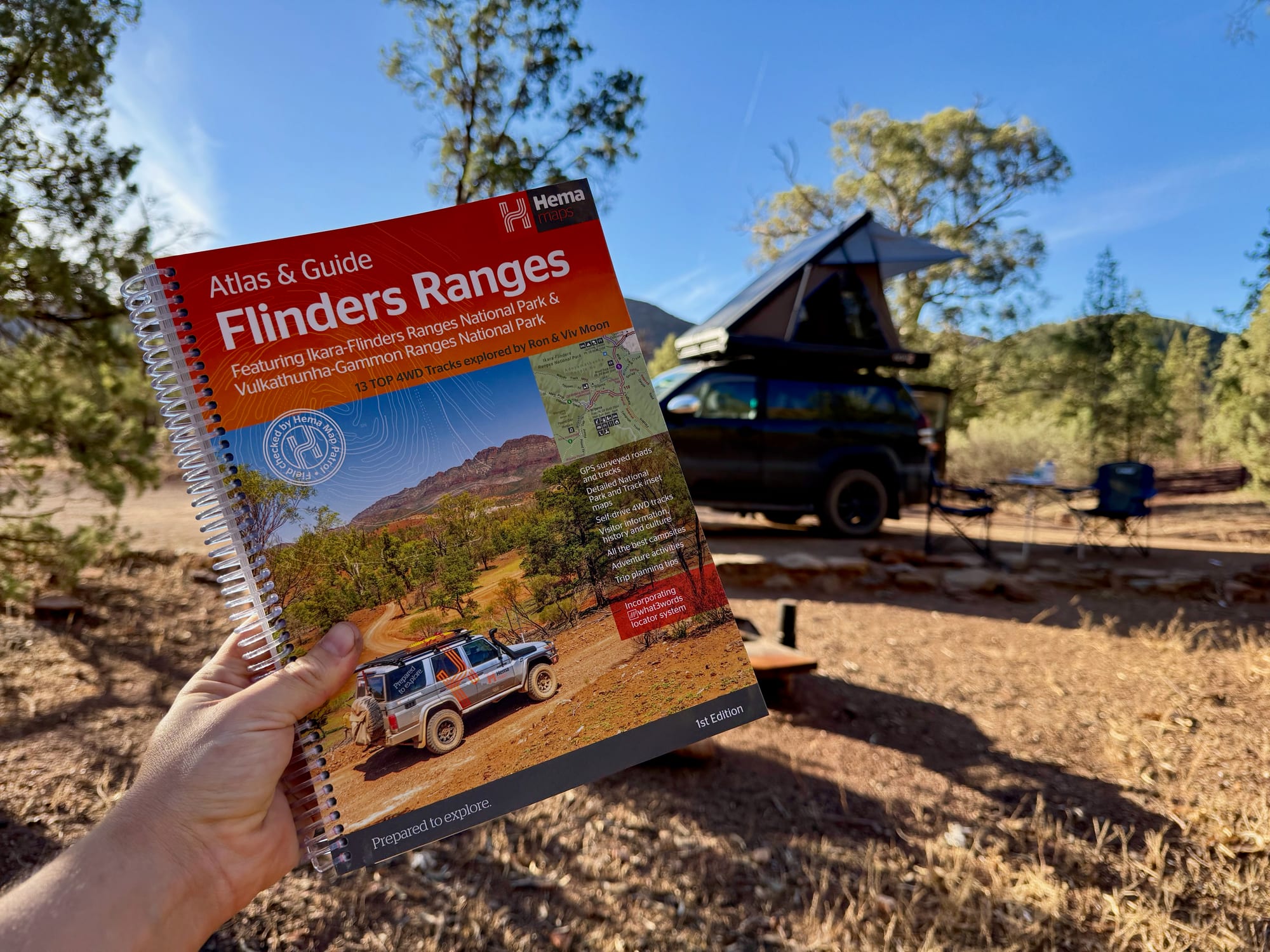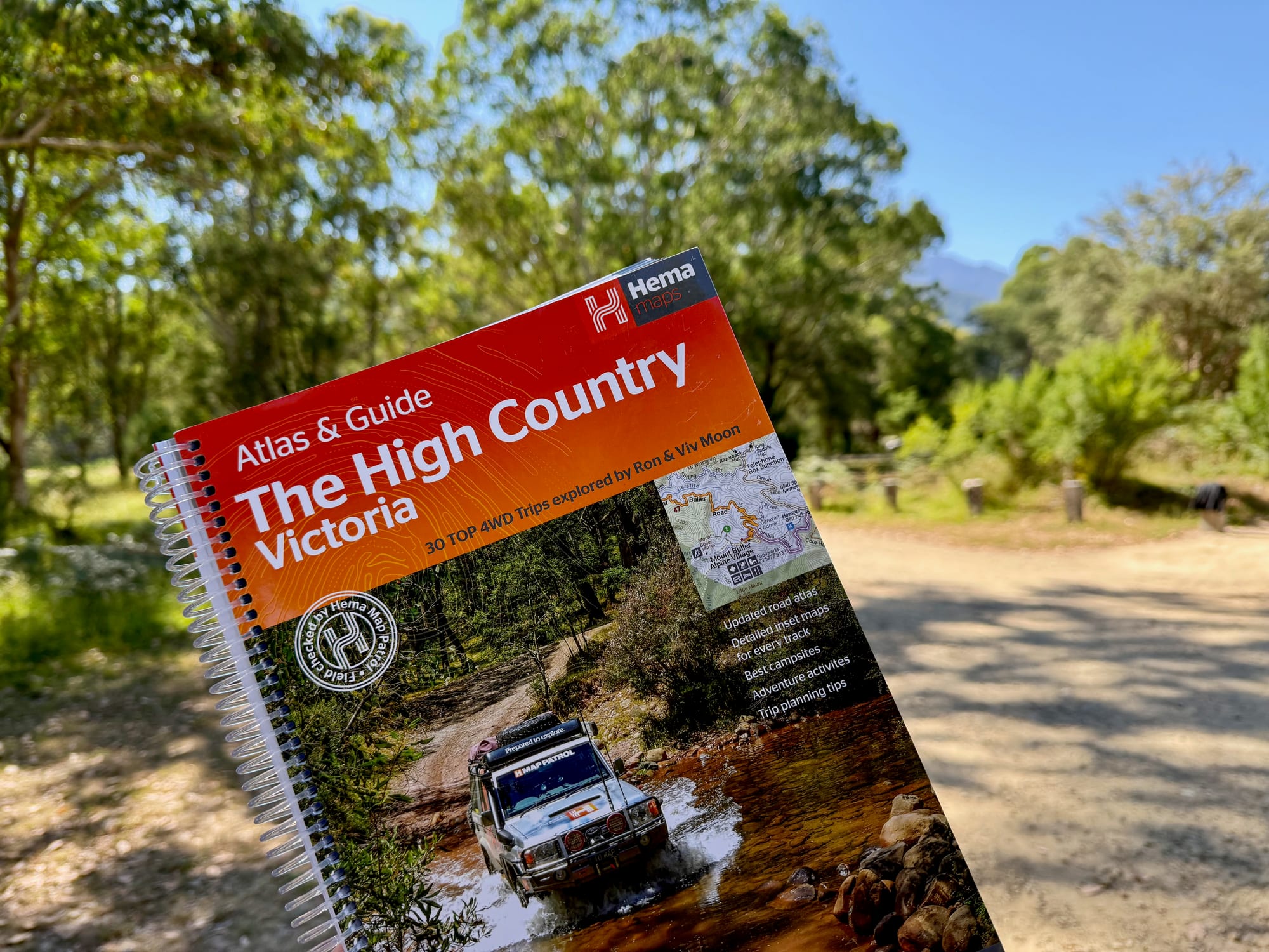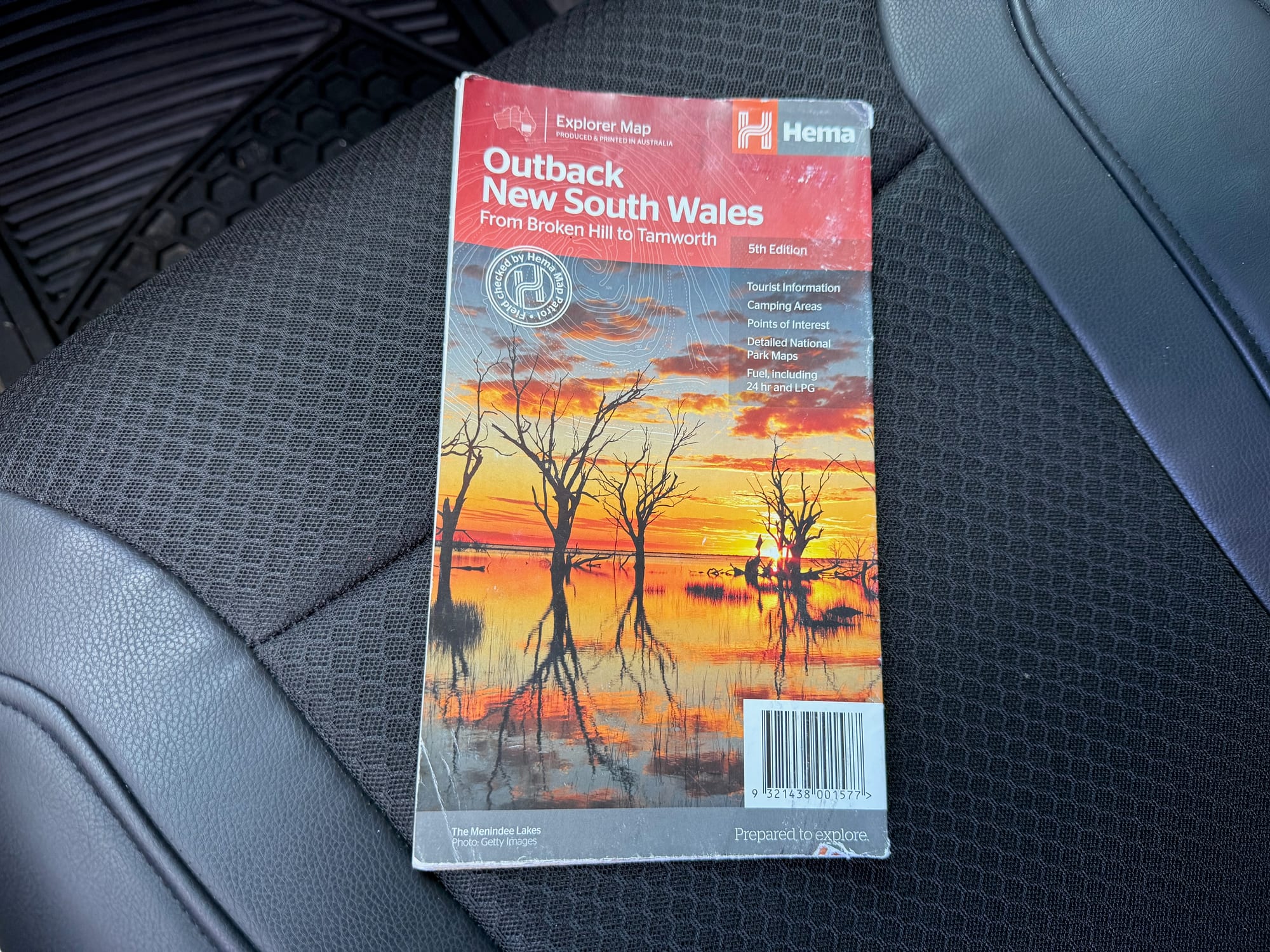
Out past Dubbo and Cobar, phone signal comes and goes, and a paper map is the one thing that always works. The Hema Outback New South Wales map is a single fold-out map of the whole region, from Tamworth to Broken Hill. We took it on our trip from Sydney to Adelaide, crossing the country through Mungo National Park, as a backup to offline Google Maps. It cost us $16.
What’s in the box
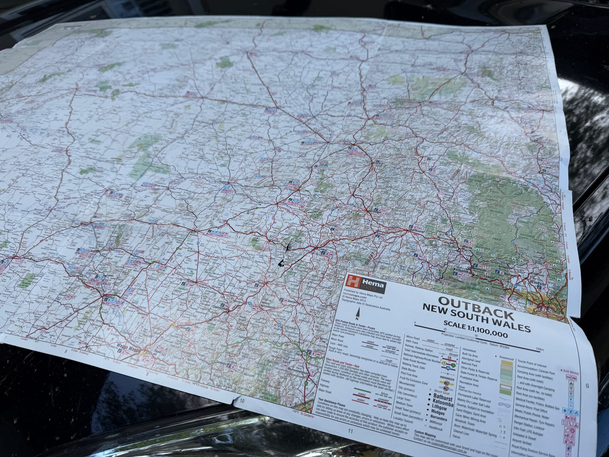
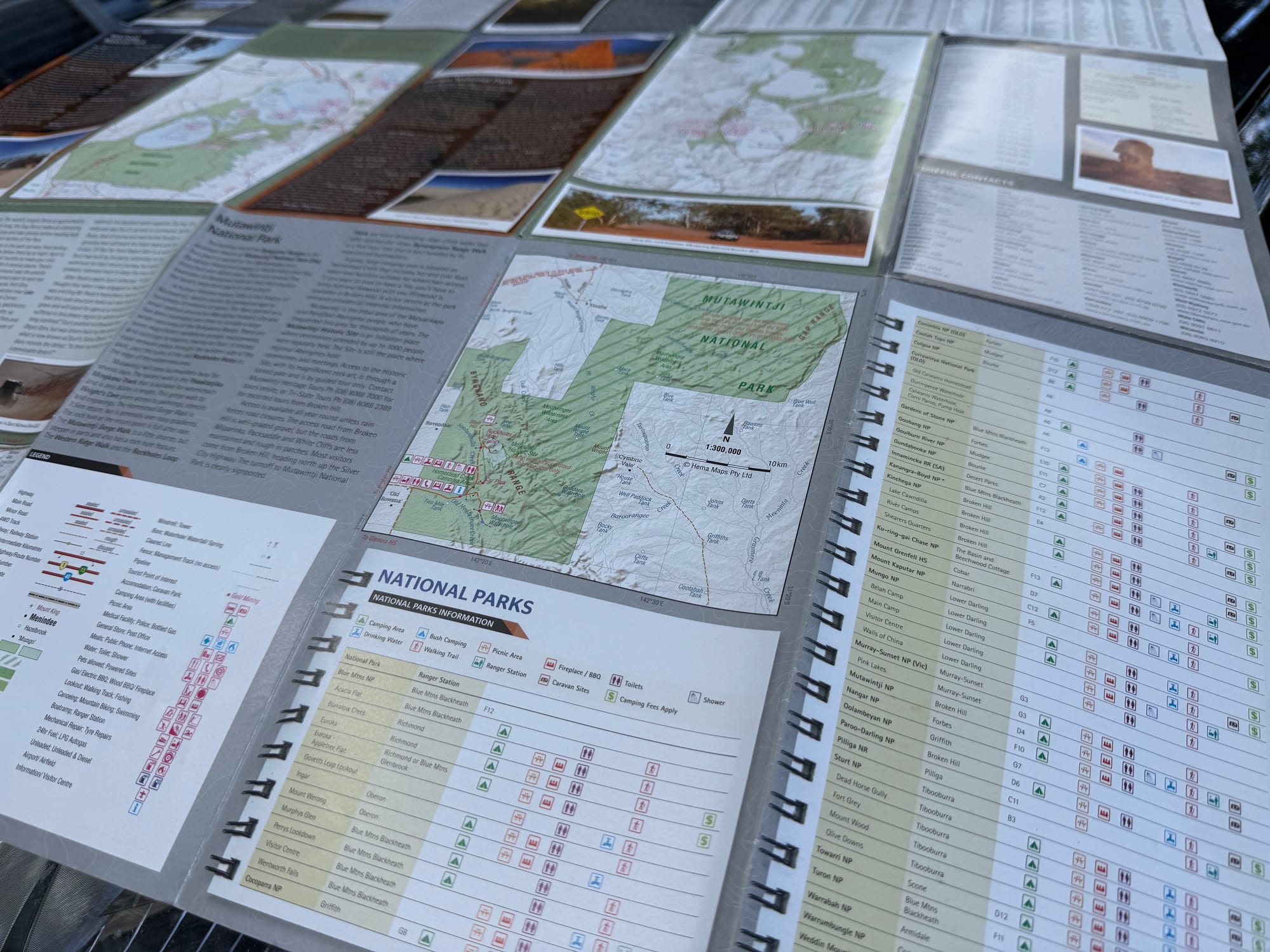
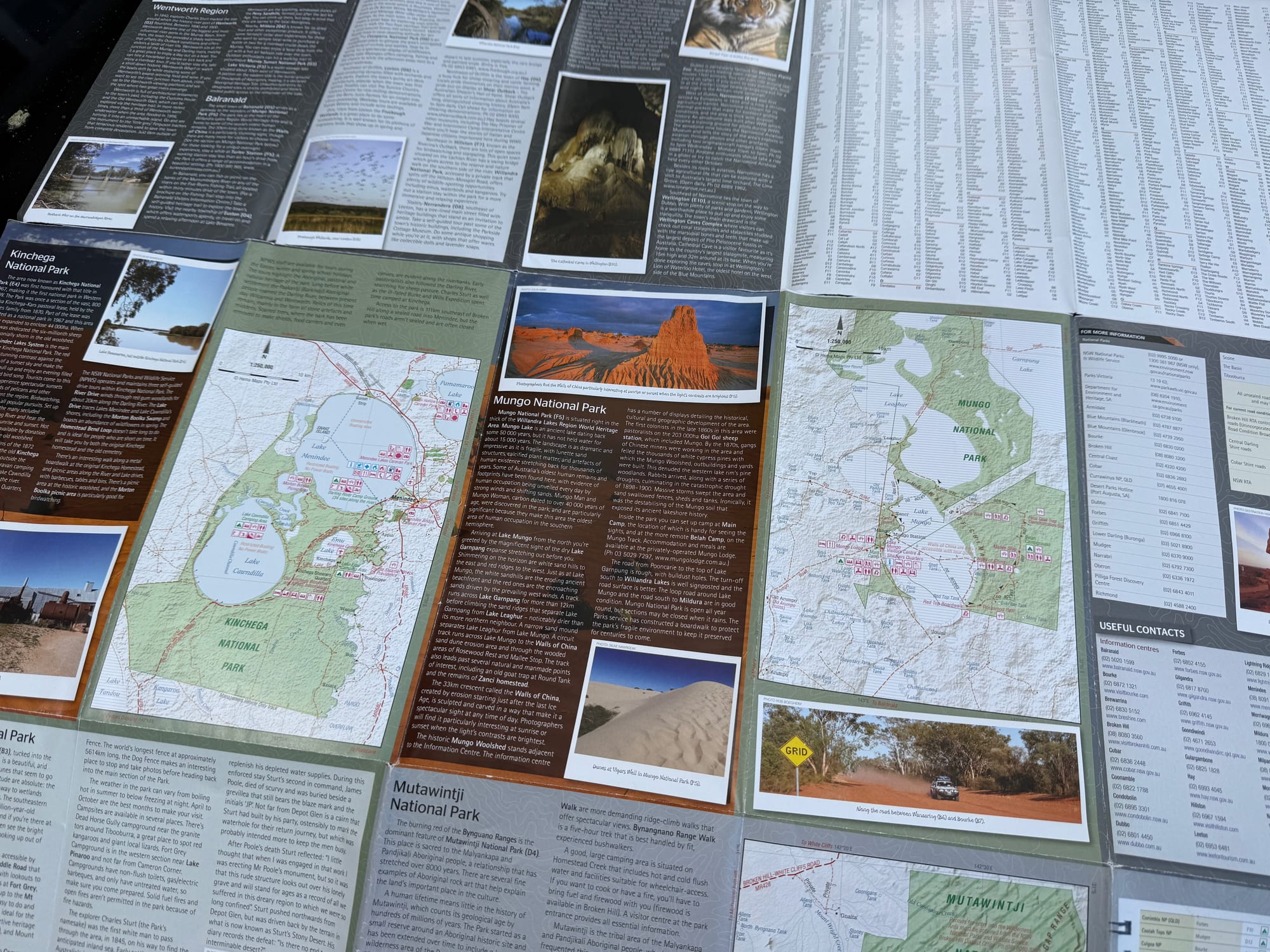
One fold-out map, the 5th edition, in a card cover. The front is a 1:1,100,000 map of outback New South Wales; the back has maps and visitor, historical and background information for the main regions and national parks. Folded, it’s 14 × 25 cm and 3 mm thick; unfolded, it’s 70 × 100 cm.
What we like
- All of outback NSW on one map
- National park maps on the back
- Camping and rest areas marked
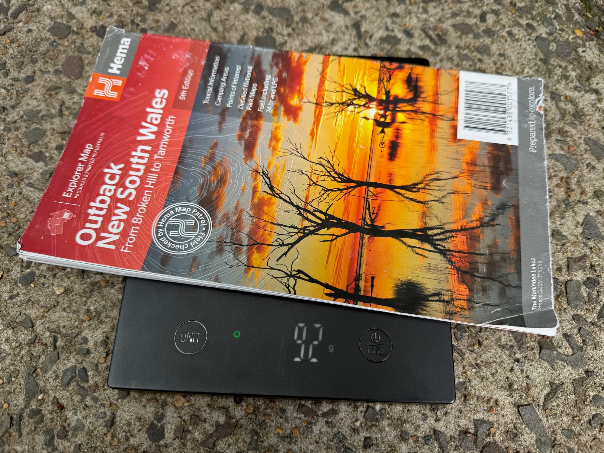
- Light: 92 g on our scale
- No signal or battery needed
What we don’t
- Standard paper, not waterproof
- Big sheet to fold in the car
Quick Specs
| Spec | Details |
|---|---|
| Brand | Hema Maps |
| Material | Standard paper |
| Weight | 92 g |
| Size | 70 × 100 cmunfolded |
| Packed size | 14 × 25 × 0.3 cm |
| Edition | 5th |
| Type | Fold-out map |
What it covers
The map runs from Tamworth in the east to Broken Hill in the west, and from Wagga Wagga in the south to past the Queensland border, so the whole of outback NSW is on one sheet. That includes Corner Country and Tibooburra, White Cliffs, Cobar, Back o’Bourke, Lightning Ridge, Wentworth, Balranald and Griffith, and national parks such as Mungo, Kinchega, Sturt and Mutawintji.
The map side
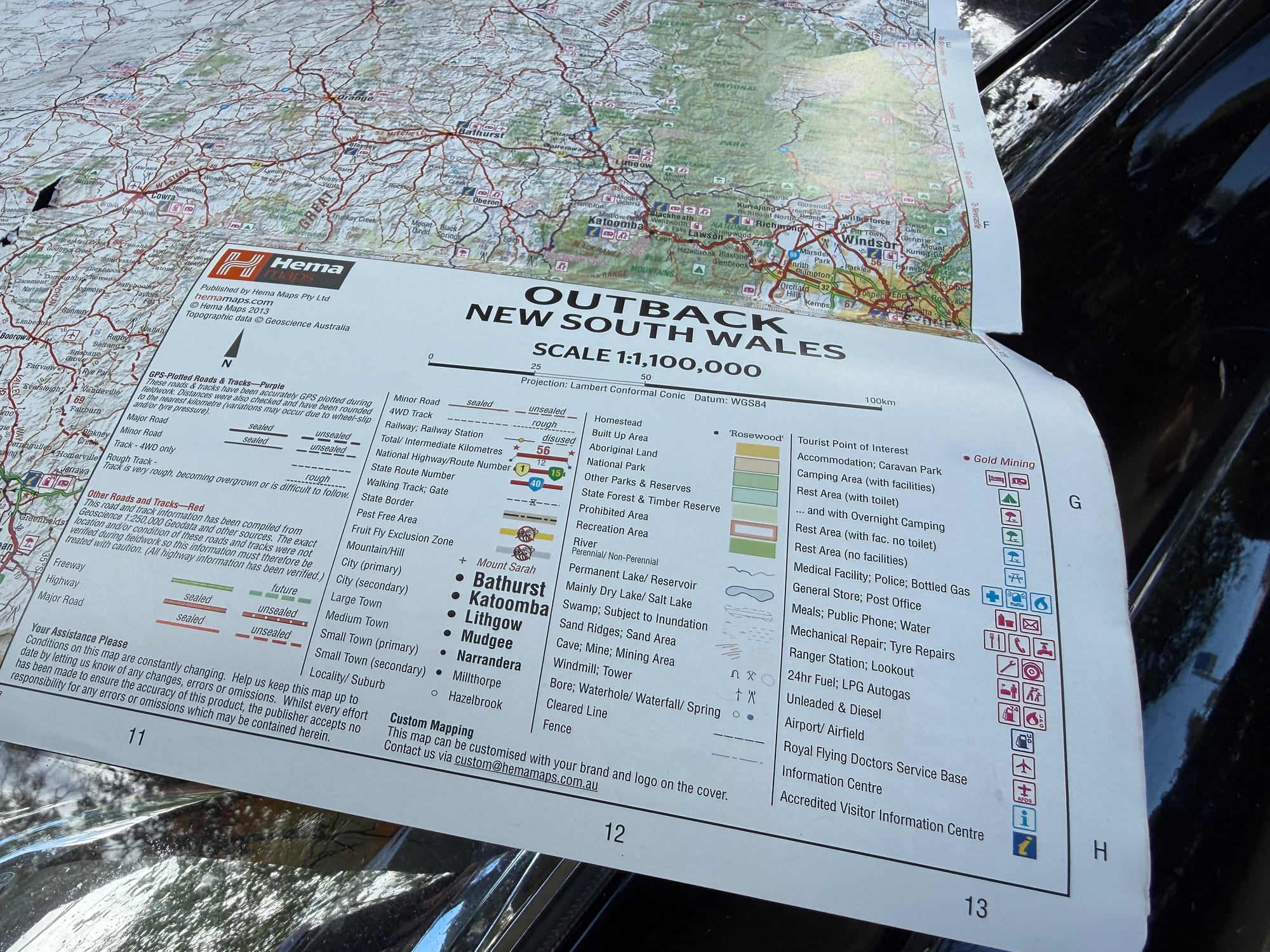
At 1:1,100,000 it’s a touring map rather than a track map: big enough to plan a route across the state and see what’s on the way. The legend separates sealed and unsealed roads and rough 4WD tracks, and marks camping areas with facilities, rest areas with and without toilets or overnight camping, and the fruit fly exclusion zone, which matters if you’re carrying fruit towards South Australia.

The information side
Turn it over and the back is a guide to the region: more detailed maps of the national parks and the main areas, with visitor information, history and background. Mungo National Park, which we crossed on the way to Adelaide, is one of the parks on this side.
Paper and size
It’s printed on standard paper, not the waterproof kind, so it lives in its cover and comes out on the bonnet or the seat, not in the rain. Unfolded it’s a big sheet, which is great for planning on the bonnet and fiddly inside the car. Folded, it weighs 92 g on our scale and slips into a door pocket.
Conclusion: Hema Outback New South Wales MapConclusion
The Hema Outback New South Wales map puts the whole of outback NSW on one 1:1,100,000 sheet, from Tamworth to Broken Hill, with roads, 4WD tracks, camping and rest areas, and national park maps and regional information on the back. It’s standard paper and a big sheet to handle in the car, but at 92 g it’s an easy backup that works without signal or battery. At $16, it’s an easy one to keep in the car. It came with us from Sydney to Adelaide through Mungo National Park.
A 1:1,100,000 fold-out map of all of outback NSW with national park maps and regional information on the back.
Standard paper and a big sheet, but light and cheap.
- 4WD tourers
- Caravanners
- Travellers
Yes. At $16 it’s a cheap planning map and backup. It works without signal or battery, and one sheet covers the whole of outback NSW.